The best walks and hikes around Río Guadalquivir Tramo Superior
4.7
(32)
194
hikers
11
hikes
Hiking around Río Guadalquivir Tramo Superior offers routes through varied terrain, characterized by the presence of the Guadalquivir river and the Embalse de Aguascebas reservoir. The region includes parts of the P. N. de las Sierras de Cazorla, Segura y las Villas, featuring forests and undulating landscapes. Elevations range from gentle slopes to more significant climbs, providing diverse hiking experiences.
Best hiking trails around Río Guadalquivir Tramo Superior
- The most popular hiking route is La Osera Trail, a 3.6…
Last updated: July 18, 2026
4.2
(9)
42
hikers
5.79km
02:05
330m
330m
Hike the moderate 3.6-mile La Osera Trail in Sierras de Cazorla, Segura y Las Villas Natural Park, featuring stunning waterfalls.
4.4
(7)
23
hikers
Moderate hike. Good fitness required. Easily-accessible paths. Suitable for all skill levels.

Sign up for free
5.0
(3)
16
hikers
17.3km
05:19
610m
610m
Hike the difficult 10.7-mile Charco la Pringue circular trail in Cazorla, Segura y Las Villas National Park, taking about 5 hours and 18 min
4.3
(10)
48
hikers
6.51km
02:27
420m
420m
Moderate hike. Good fitness required. Easily-accessible paths. Suitable for all skill levels.
14
hikers
4.42km
01:40
270m
270m
Easy hike. Great for any fitness level. Easily-accessible paths. Suitable for all skill levels.
5.0
(1)
16
hikers
4.89km
01:24
120m
120m
Easy hike. Great for any fitness level. Easily-accessible paths. Suitable for all skill levels.
5.0
(1)
14
hikers
4.86km
01:28
170m
170m
Easy hike. Great for any fitness level. Easily-accessible paths. Suitable for all skill levels.
4
hikers
6.57km
01:51
140m
140m
Easy hike. Great for any fitness level. Easily-accessible paths. Suitable for all skill levels.
Get access to more routes and recommendations from other explorers.
Sign up for free
Already have an account?
Our route recommendations are based on thousands of hikes, rides, and runs completed by other people on komoot.
Start today with a free account
Your next adventure awaits.
Login or Signup
Tips from the Community

Hiking boots and good physical fitness
0
0

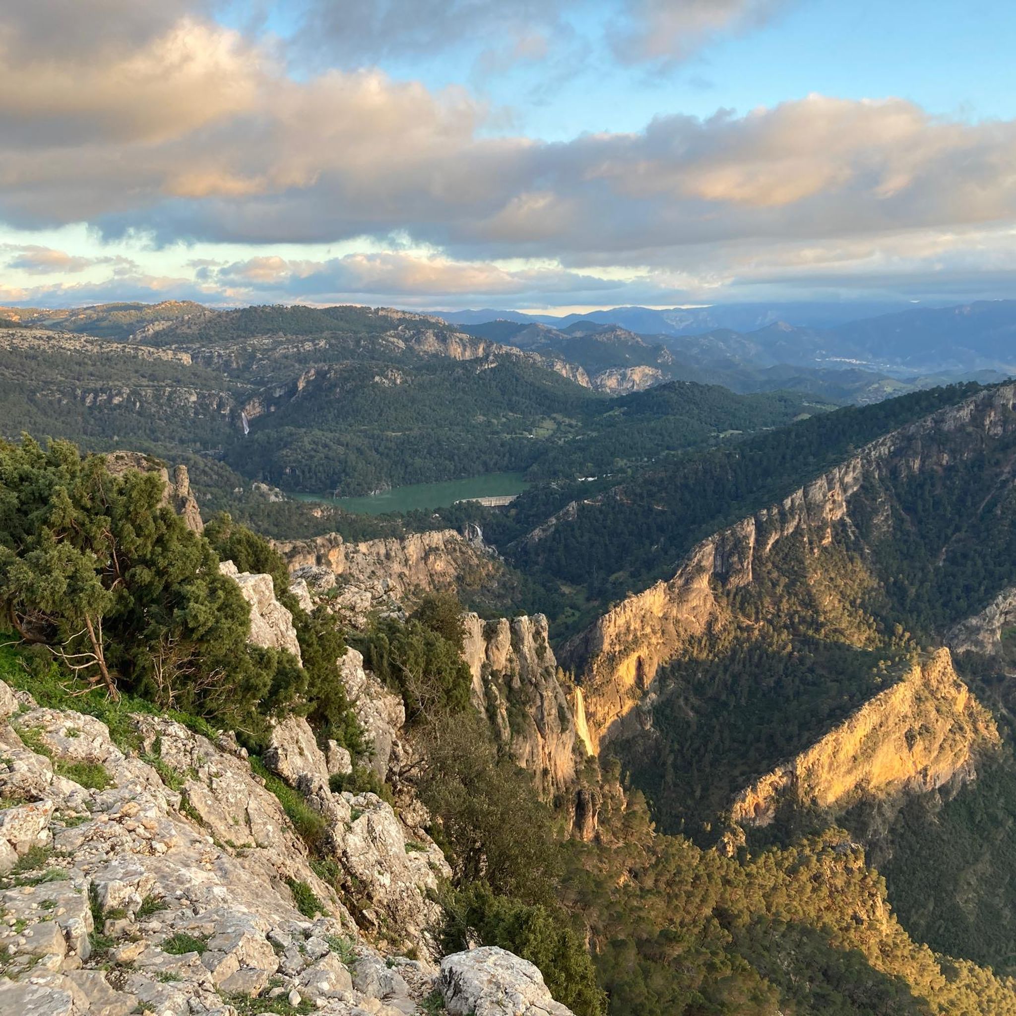
It is one of the many waterfalls in this gorge, and because the reservoir is not yet full of water, the falls are very weak, although they can still be enjoyed.
12
0
It is one of the many waterfalls in this gorge, and because the reservoir is not yet full of water, the falls are very weak, although they can still be enjoyed.
13
0
This reservoir, dedicated to storing water for human consumption, is closed to swimming and recreational boats. It is fed by the Aguascebas, Fuente del Tajo, and Aguascebas del Chorro Gil streams, located in the municipality of Villacarrillo. Located within the Cazorla, Segura y las Villas Natural Park, it is a small reservoir that can hold up to 6.37 hm3.
12
0
We're at the beginning of the Osera trail, where the sign announces and informs us of the difficulty of the route, as well as the distance and elevation gain. We're also advised to be properly equipped with hiking shoes and appropriate clothing. However, there are always people who venture onto the trail without these precautions, and they obviously have a hard time. As a cyclist, I don't recommend doing this on a bike for many reasons, including the steep gradient and the technical difficulty required for this route. However, it's advisable to bring a camera or mobile phone to take photos, as it is spectacularly beautiful.
12
0
The name does not really honor the place, because it is an area where a small water reservoir is produced, "without oil" 🤭 but it is an ideal area for bathing and resting. From there begins an endless climb towards one of the most beautiful areas of the mountains: the refuge of La Parra
1
0

It is possible to go hiking in the surroundings through short routes along the path that runs parallel to the river. Some 200m downstream on the left bank is the mouth of the Tranco reservoir drainage tunnel, where the water comes out turbulently.
11
0

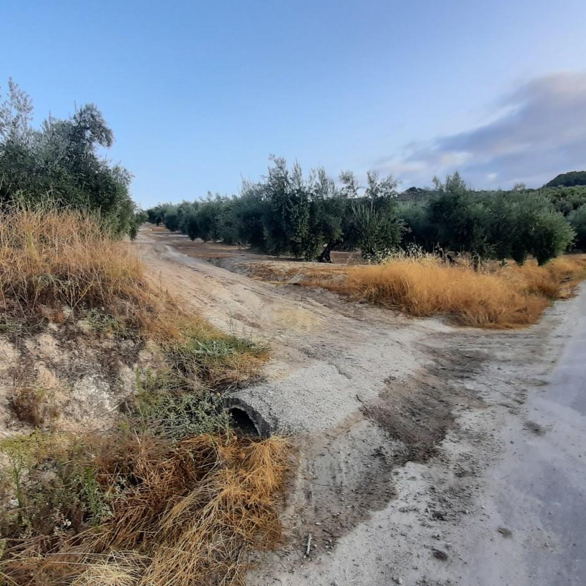
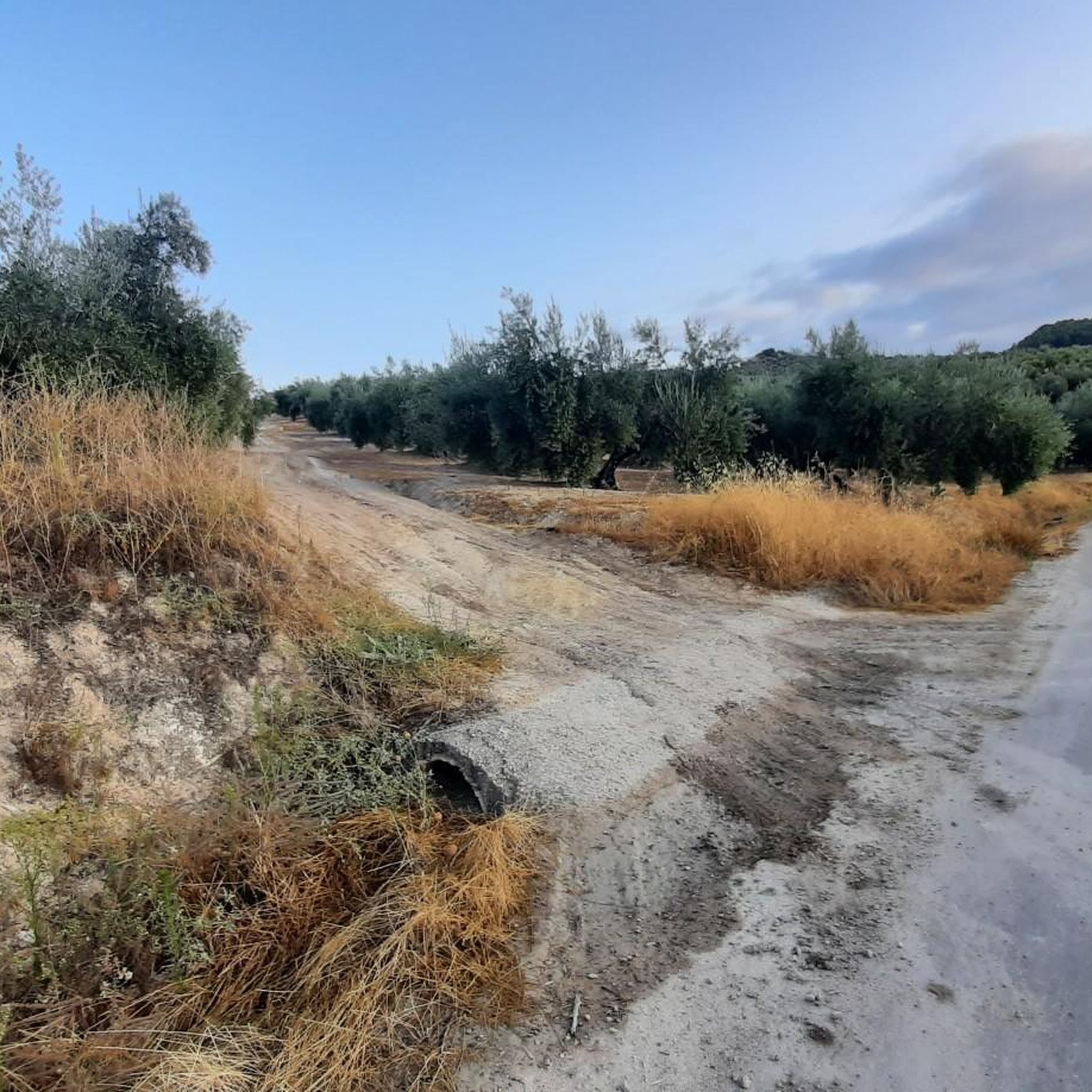
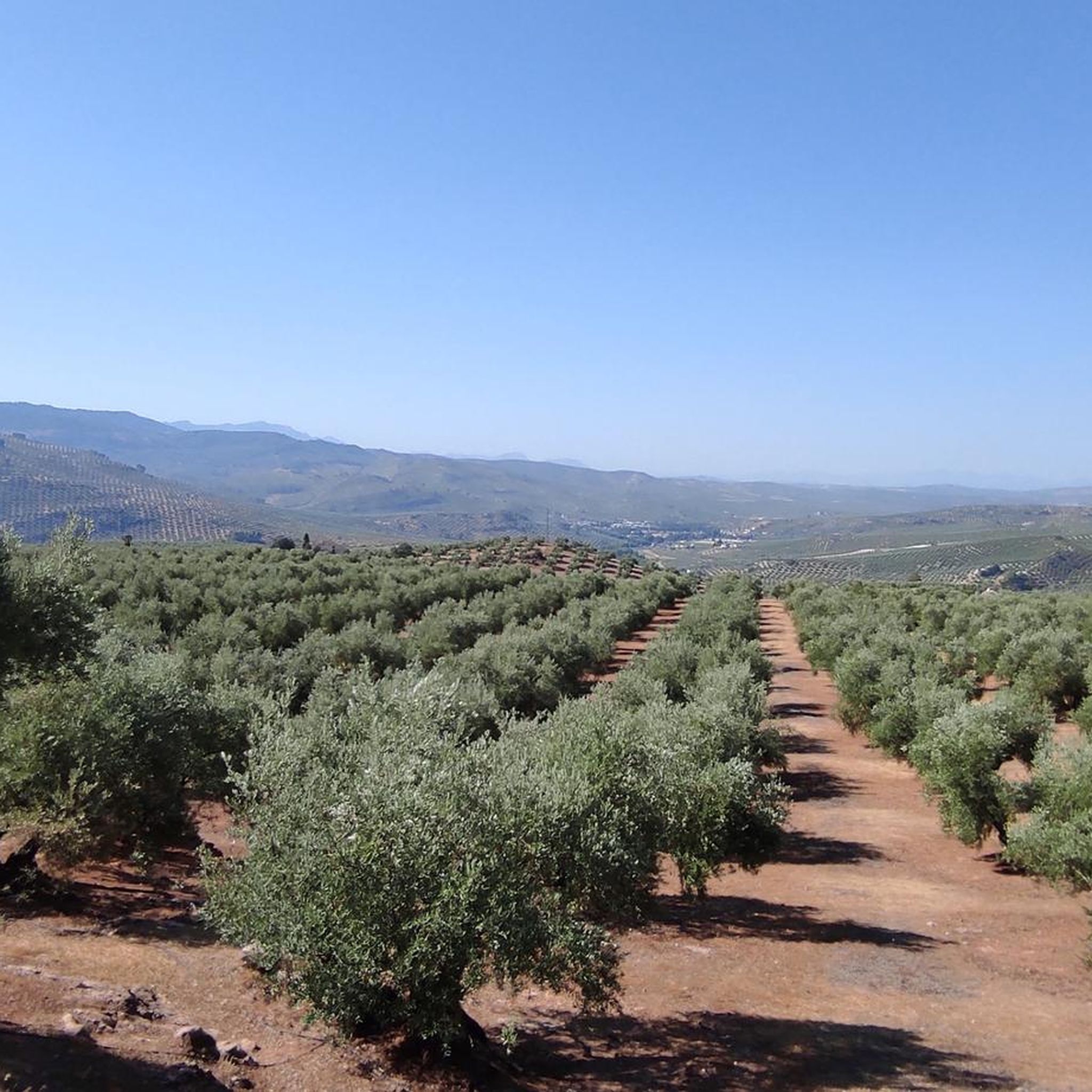
The town of Villanueva del Arzobispo is located in the Sierra de las Cuatro Villas, surrounded by olive groves and cereal fields.
2
0
Frequently Asked Questions
How many hiking trails are available in Río Guadalquivir Tramo Superior?
There are around 7 hiking routes documented in the Río Guadalquivir Tramo Superior area, offering a variety of experiences from easy strolls to more challenging treks. These routes explore the river valleys, reservoir views, and forested landscapes of the region.
Are there easy hiking trails suitable for beginners in Río Guadalquivir Tramo Superior?
Yes, the region offers several easy routes perfect for beginners. One such option is the Chorrogil Waterfall loop from SL-A 130 Embalse de Aguascebas, which is approximately 3.5 km long and takes about an hour to complete, featuring gentle elevation changes.
Are there family-friendly hiking options in Río Guadalquivir Tramo Superior?
Absolutely. Many of the easier trails are suitable for families. The Osera Trail – Aguascebas Reservoir loop from Poblado C.H.G. is an easy 4.4 km route that offers pleasant scenery and is manageable for most family members, taking around 1 hour 40 minutes.
Are there any circular hiking routes in Río Guadalquivir Tramo Superior?
Yes, several routes in the area are circular, allowing you to start and end at the same point. A popular moderate circular trail is the Embalse de Aguascebas - circular through the P. N. de las Sierras de Cazorla, Segura y las Villas, which is about 8.6 km long.
What kind of natural attractions can I see along the hiking trails?
The Río Guadalquivir Tramo Superior region is rich in natural beauty. You can expect to see the Guadalquivir river itself, the Embalse de Aguascebas reservoir, and lush forested areas within the P. N. de las Sierras de Cazorla, Segura y las Villas. Some trails, like the Chorrogil Waterfall loop, even lead to beautiful waterfalls.
Are there any interesting landmarks or points of interest near the hiking routes?
Yes, the area features several notable points of interest. You can explore the Puente de los Civiles, a historic bridge, or visit the Mogón Natural Pool. There's also a charming Wooden Suspension Bridge Over the Guadalquivir in Mogón.
What is the best season to hike in Río Guadalquivir Tramo Superior?
The region offers pleasant hiking conditions for much of the year. Spring and autumn generally provide the most comfortable temperatures and vibrant scenery, with blooming wildflowers in spring and colorful foliage in autumn. Summer can be warm, so early morning or late afternoon hikes are recommended, while winter offers a quieter experience, though some higher elevation paths might be cooler.
Are there challenging hikes for experienced trekkers?
Yes, for those seeking a more demanding experience, the region offers challenging routes. The Charco del Aceite Circular Trail is a difficult 17.3 km route that includes significant elevation changes and typically takes over 5 hours to complete, leading through river valleys and elevated sections.
What do other hikers enjoy most about hiking in Río Guadalquivir Tramo Superior?
The area is highly rated by the komoot community, with an average score of 4.6 stars. Reviewers often praise the diverse landscapes, including the serene river paths, stunning reservoir views, and tranquil forest trails. The variety of routes catering to different ability levels is also frequently highlighted.
Is parking available near the trailheads?
While specific parking details vary by trailhead, many popular starting points for trails within the P. N. de las Sierras de Cazorla, Segura y las Villas and near the Embalse de Aguascebas generally have designated parking areas or roadside spots. It's advisable to check individual route descriptions on komoot for more precise parking information before you go.
Can I hike with my dog in Río Guadalquivir Tramo Superior?
Hiking with dogs is generally permitted in many parts of the Río Guadalquivir Tramo Superior region, especially on public trails. However, as parts of the area fall within the P. N. de las Sierras de Cazorla, Segura y las Villas, it's crucial to keep dogs on a leash to protect wildlife and ensure a pleasant experience for all hikers. Always check local regulations for specific restrictions.
Are there opportunities for wild swimming after a hike?
The Río Guadalquivir Tramo Superior region, with its river and reservoir, offers some natural spots for cooling off. The Mogón Natural Pool is a known highlight where visitors can enjoy a refreshing dip. Always exercise caution and be aware of water conditions and any local regulations regarding swimming.
Most popular routes around Río Guadalquivir Tramo Superior
Most popular attractions around Río Guadalquivir Tramo Superior

Get inspired with the komoot mobile app


Explore more
Browse the best Hikes in other regions.
