The best MTB trails around Plan-les-Ouates
4.5
(332)
2,381
riders
256
rides
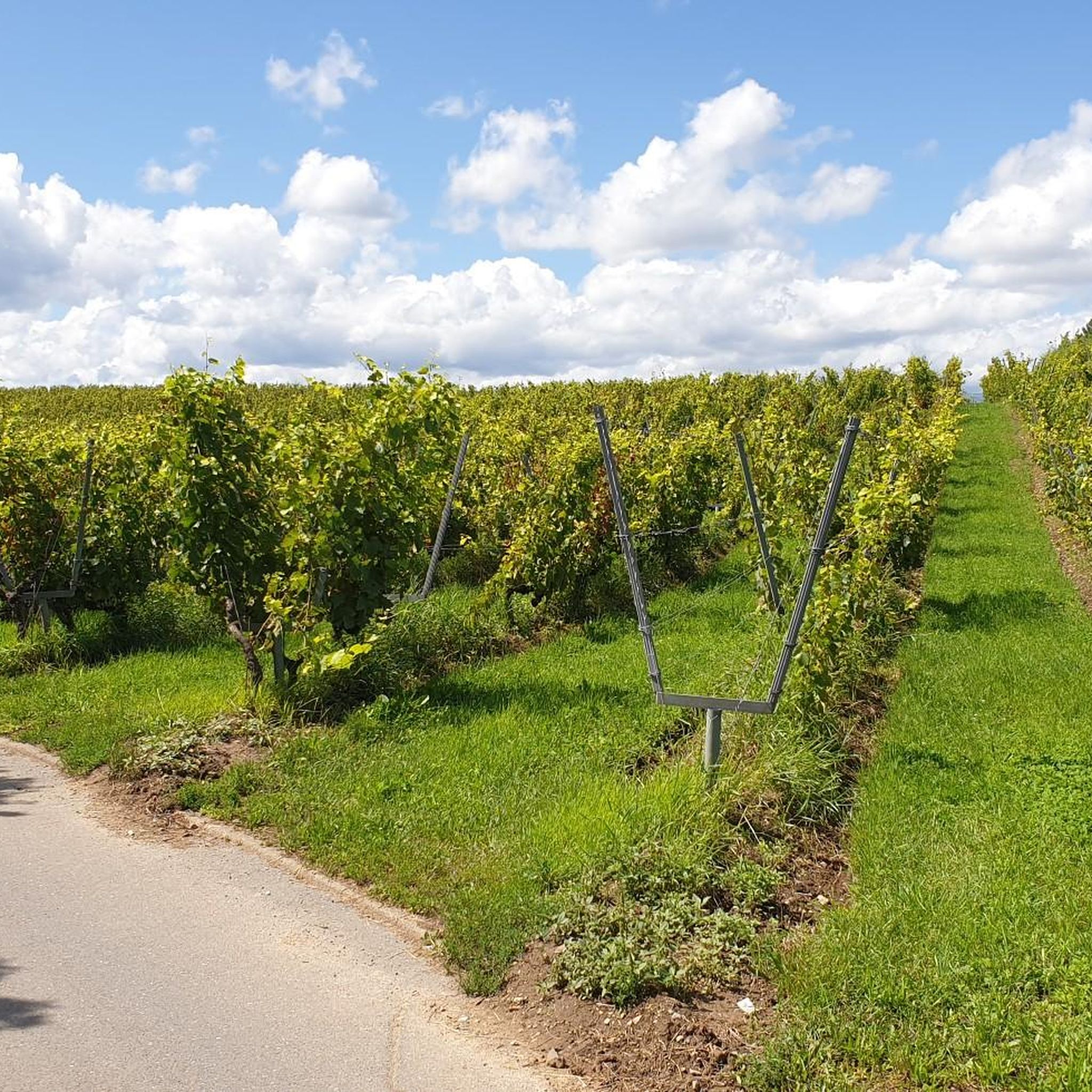
Mountain biking around Plan-les-Ouates offers a diverse environment within the canton of Geneva, Switzerland. The region features accessible rural landscapes, green spaces, and forested sections, providing varied terrain for mountain bikers. Situated between the Arve and Rhône rivers, the area benefits from undulating landscapes and scenic views across the Geneva countryside. These paths are ideal for cross-country and recreational mountain biking, connecting riders with nature.
Best mountain bike trails around Plan-les-Ouates
- The most popular mountain bike trail is Little Salève…
Last updated: June 26, 2026
4.8
(29)
149
riders
33.7km
02:52
640m
640m
Moderate mountain bike ride. Good fitness required. Advanced riding skills necessary.
5.0
(1)
26
riders
28.9km
02:34
860m
860m
Moderate mountain bike ride. Good fitness required. Advanced riding skills necessary.

Sign up for free
4.3
(3)
19
riders
27.4km
02:05
270m
270m
Moderate mountain bike ride. Good fitness required. Advanced riding skills necessary.
16
riders
20.0km
01:33
160m
160m
Moderate mountain bike ride. Great for any fitness level. Advanced riding skills necessary.
5.0
(1)
13
riders
40.4km
03:27
920m
920m
Hard mountain bike ride. Very good fitness required. Suitable for all skill levels.
Get access to more routes and recommendations from other explorers.
Sign up for free
Already have an account?
Our route recommendations are based on thousands of hikes, rides, and runs completed by other people on komoot.
Start today with a free account
Your next adventure awaits.
Login or Signup
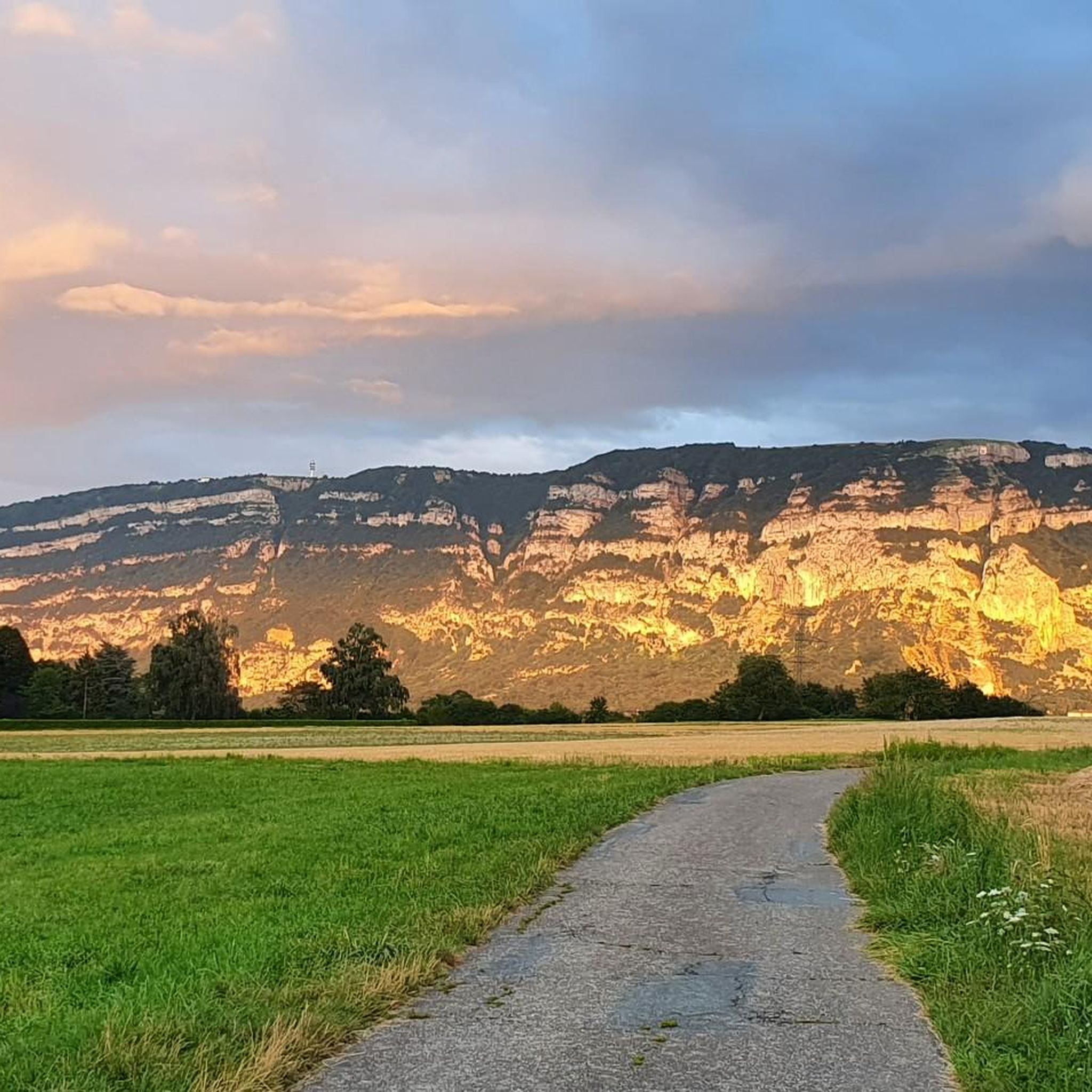
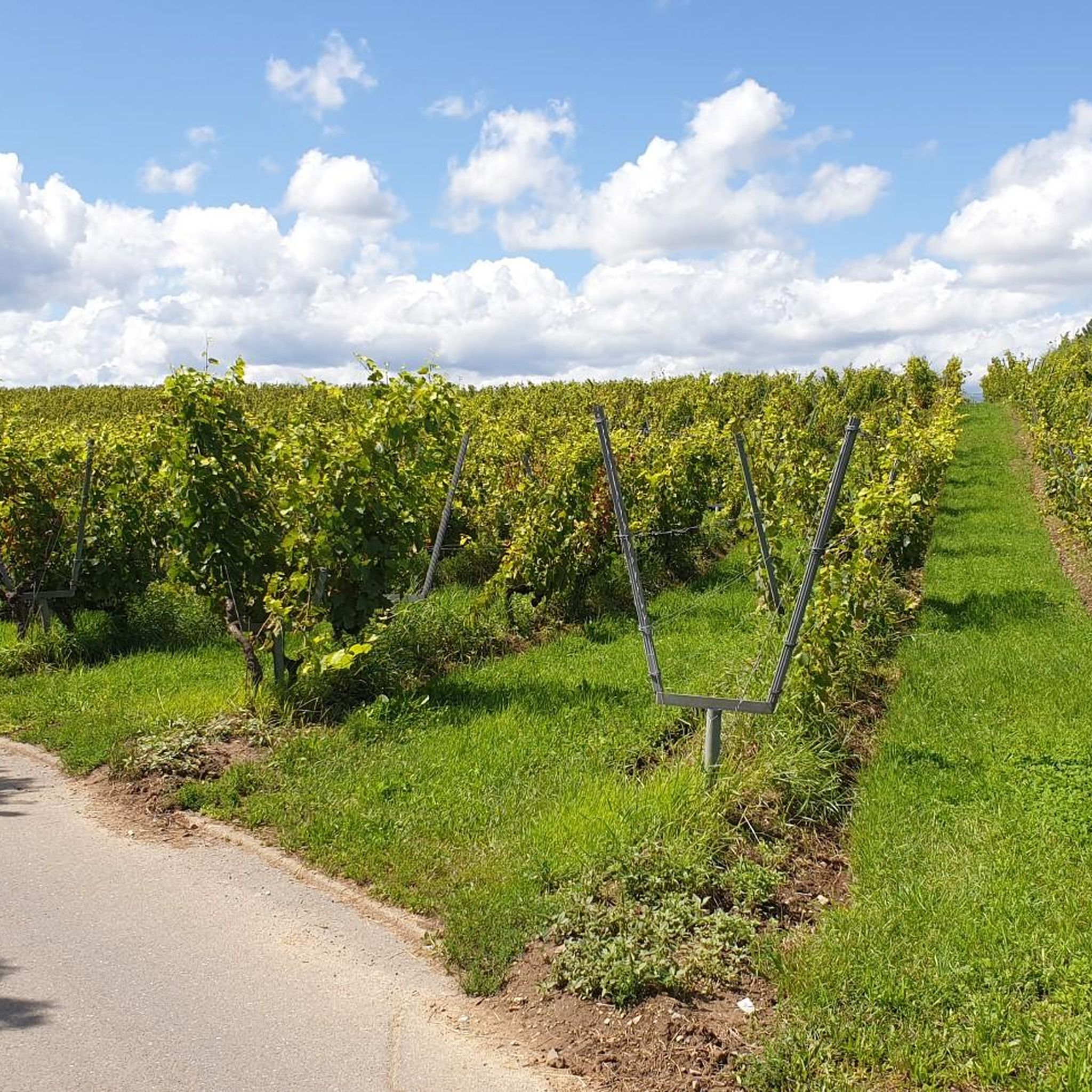
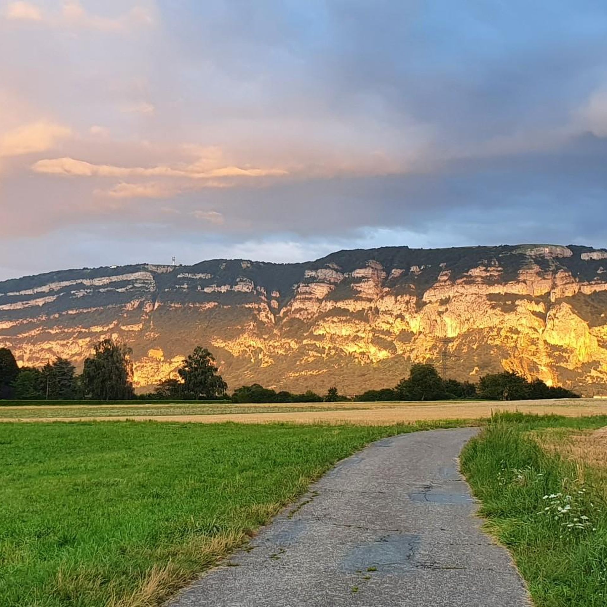
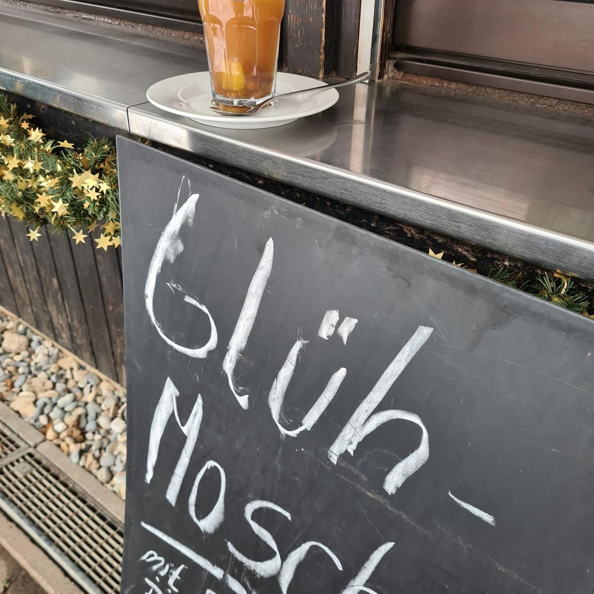

Tips from the Community

The section from La Muraz to Cruseille, passing through Le Sappey, and then the climb from Cruseille to La Croisette are really nice. Beautiful road, few cars and gentle slope!
0
0


Located near La Croisette, the Biasse Oratory was blessed and inaugurated on July 1, 2025. Built on the heights of the Salève, at an altitude of approximately 1,200 meters, this oratory dedicated to the Good Shepherd is undoubtedly the highest in the massif. The Biasse Oratory is bordered by two paths: the old footpath, now a pedestrian path, an hour's walk from the Salève cable car, and the Rochers de Faverges departmental road, at their intersection. It is also located at the arrival or departure point of the Orjobet trail (path) as the third route, and the Auberge des Crêts or its Alpine pasture, the departure point for paragliding and parasailing, as the fourth route. The oratory itself stands at this location, like a pillar of life. It is a tall column of dry stone from the Salève, or poorly cemented sandstone, built by Florent Pizzagli and Eric Dossin. It supports a lantern-shaped wrought iron cage, created by André Vidonne and Antoine Tardivel, which itself houses a wooden statue by wood sculptor Filippo Real, behind four polished glass panels. It stands like a beacon above the sea of fog and clouds, facing Fort L'Ecluse, Fort Vauban, which is intended to protect the Rhône Valley. As such, it is not a broken column as in the art of sepulchres (cemeteries), meaning that it does not represent any kind of break with Life; on the contrary, it is the symbol of Life, guiding the sailor's course and, in this case, the mountaineer's path for tomorrow. It is topped with this wrought iron lantern, itself surmounted by a handle in the shape of a Savoy cross, a symbol of Christians, the "Savoy" being a particularly Christian land; the walls are made of polished glass for transparency, and not wire or bars as in a prison, for the protection of the statue; it is also intended to be a symbol of light or illumination, like a door. The wooden statue is protected by this polished glass held by this wrought iron; it represents a shepherd with his staff, like any mountain walker, or a pilgrim as on the Way of St. James. It was indeed difficult to propose a Virgin or "Our Lady of..." as is common in our mountains, particularly in front of a Calvinist Geneva, and indeed like a sought-after patron saint, a benefactor to boot.
1
0
Intersection point La Bouillette Altitude 1215m
1
0
Intersection point La Croisette Altitude 1175m
1
0
Point of intersection on Les Convers Altitude 1220m
1
0
Frequently Asked Questions
How many mountain bike trails are available around Plan-les-Ouates?
There are over 260 mountain bike trails around Plan-les-Ouates, offering a wide range of options for different skill levels. This includes 67 easy routes, 141 moderate routes, and 60 difficult trails for more experienced riders.
What kind of terrain can I expect on mountain bike trails in Plan-les-Ouates?
Mountain biking in Plan-les-Ouates features diverse terrain, including accessible rural landscapes, green spaces, and forested sections. You'll find undulating paths through the Geneva countryside, suitable for cross-country and recreational mountain biking, rather than highly technical trails with extreme features.
Are there any easy mountain bike trails suitable for beginners or families?
Yes, Plan-les-Ouates offers 67 easy mountain bike trails. An excellent option for a more relaxed ride is the Vessy Bridge – Tour With Jorge loop from Lancy-Bachet, which is 17.2 miles (27.8 km) long and features accessible terrain, often following paths near the Arve river.
What are some challenging mountain bike routes for experienced riders?
For experienced riders seeking a challenge, there are 60 difficult mountain bike trails. A demanding route is the Chartreuse de Pomier – Avenières Estate loop from Lancy-Bachet, which covers 25.1 miles (40.4 km) with significant elevation gain.
What natural features or landmarks can I see while mountain biking in Plan-les-Ouates?
The trails often pass through picturesque rural landscapes and offer scenic views. You can encounter various natural features and viewpoints, such as the Croisette Pass, View of the Jura Mountains, and View of Mont Salève. Some routes also offer glimpses of the Arve and Rhône rivers.
Are there any mountain bike routes with views of Mont Blanc?
Yes, several routes provide stunning views of Mont Blanc. The View of Mont Blanc – Croisette Pass loop from Lancy-Bachet is a popular 18.0 miles (28.9 km) trail that leads through varied landscapes with opportunities to see the iconic peak.
What do other mountain bikers say about the trails in Plan-les-Ouates?
The mountain bike trails in Plan-les-Ouates are highly regarded by the komoot community, with an average rating of 4.3 out of 5 stars from over 400 reviews. Riders often praise the diverse landscapes, accessible terrain, and the opportunity to explore the scenic Geneva countryside.
Are there any circular mountain bike routes in the area?
Many of the mountain bike trails around Plan-les-Ouates are designed as loops, allowing you to start and finish at the same point. For example, the Little Salève – Very nice view towards the Alps loop from Lancy-Bachet is a 21.4 miles (34.4 km) circular trail offering expansive views.
What is the best time of year to go mountain biking in Plan-les-Ouates?
The best time to go mountain biking in Plan-les-Ouates is generally from spring through autumn, when the weather is mild and the trails are dry. The region's accessible terrain makes it enjoyable for much of the year, but always check local conditions, especially after heavy rain, as some paths may become muddy.
Are there any routes that pass by historical or heritage sites?
While specific historical sites are not detailed for every route, the region research indicates that mountain bike routes in the Geneva countryside often pass by 'remarkable heritage sites.' These are typically integrated into the rural landscape, offering a cultural dimension to your ride.
How can I find parking or access trailheads via public transport?
Many routes, such as those starting 'from Lancy-Bachet,' indicate proximity to public transport hubs. For specific parking information or detailed public transport connections to trailheads, it's best to check the individual route pages on komoot, as details can vary.
Most popular routes around Plan-les-Ouates
Most popular attractions around Plan-les-Ouates

Get inspired with the komoot mobile app


Explore more
Browse the best MTB trails in other regions.
