The best road cycling routes around Pliening
4.5
(2040)
23,863
riders
585
rides
Road cycling routes around Pliening are characterized by a landscape of open fields, quiet country roads, and small villages, typical of the Bavarian countryside. The terrain is generally flat to gently rolling, with minimal elevation changes, making it suitable for various cycling abilities. Routes often follow agricultural paths, newly paved sections, and quiet lanes, occasionally passing by local water features like ponds.
Best road cycling routes around Pliening
- The most popular road cycling route is Long Straight Rural Road – Wimpasinger Bridge loop from Poing, a 34.3 miles (55.2 km) trail that takes 2 hours 15 minutes to complete. This moderate route features long, straight sections through rural landscapes.
- Another top favourite among local road cyclists is New Asphalt Towards Purfing – Möschenfeld–Harthausen Cycle Path loop from Poing, a moderate 39.9 miles (64.2 km) path. This route offers smooth riding on new asphalt through varied countryside.
- Local road cyclists also love the Quiet road along the railway – Rollerfeld Country Road loop from Poing, a 31.6 miles (50.9 km) trail leading through quiet roads alongside a railway line and through country roads, often completed in about 2 hours 11 minutes.
- Road cycling around Pliening is defined by rural roads, open fields, and quiet country lanes. The network offers options for various skill levels, from easy rides to more challenging moderate routes.
- The routes in Pliening are highly rated by the komoot community with an average score of 4.6 stars from over 1,200 reviews. More than 19,000 road cyclists have used komoot to explore Pliening's varied terrain.
Last updated: October 8, 2026
4.9
(7)
132
riders
54.4km
02:14
240m
240m
Moderate road ride. Good fitness required. Mostly well-paved surfaces and easy to ride.
4.6
(14)
203
riders
Moderate road ride. Good fitness required. Mostly well-paved surfaces and easy to ride.

4.7
(18)
101
riders
50.8km
02:11
360m
360m
Moderate road ride. Good fitness required. Mostly well-paved surfaces and easy to ride.
4.5
(19)
196
riders
50.0km
02:04
290m
290m
Moderate road ride. Good fitness required. Mostly well-paved surfaces and easy to ride.
5.0
(8)
89
riders
60.7km
02:33
400m
400m
Moderate road ride. Good fitness required. Mostly well-paved surfaces and easy to ride.
Get access to more routes and recommendations from other explorers.
Already have an account?
Our route recommendations are based on thousands of hikes, rides, and runs completed by other people on komoot.
Start today with a free account
Your next adventure awaits.

Tips from the Community

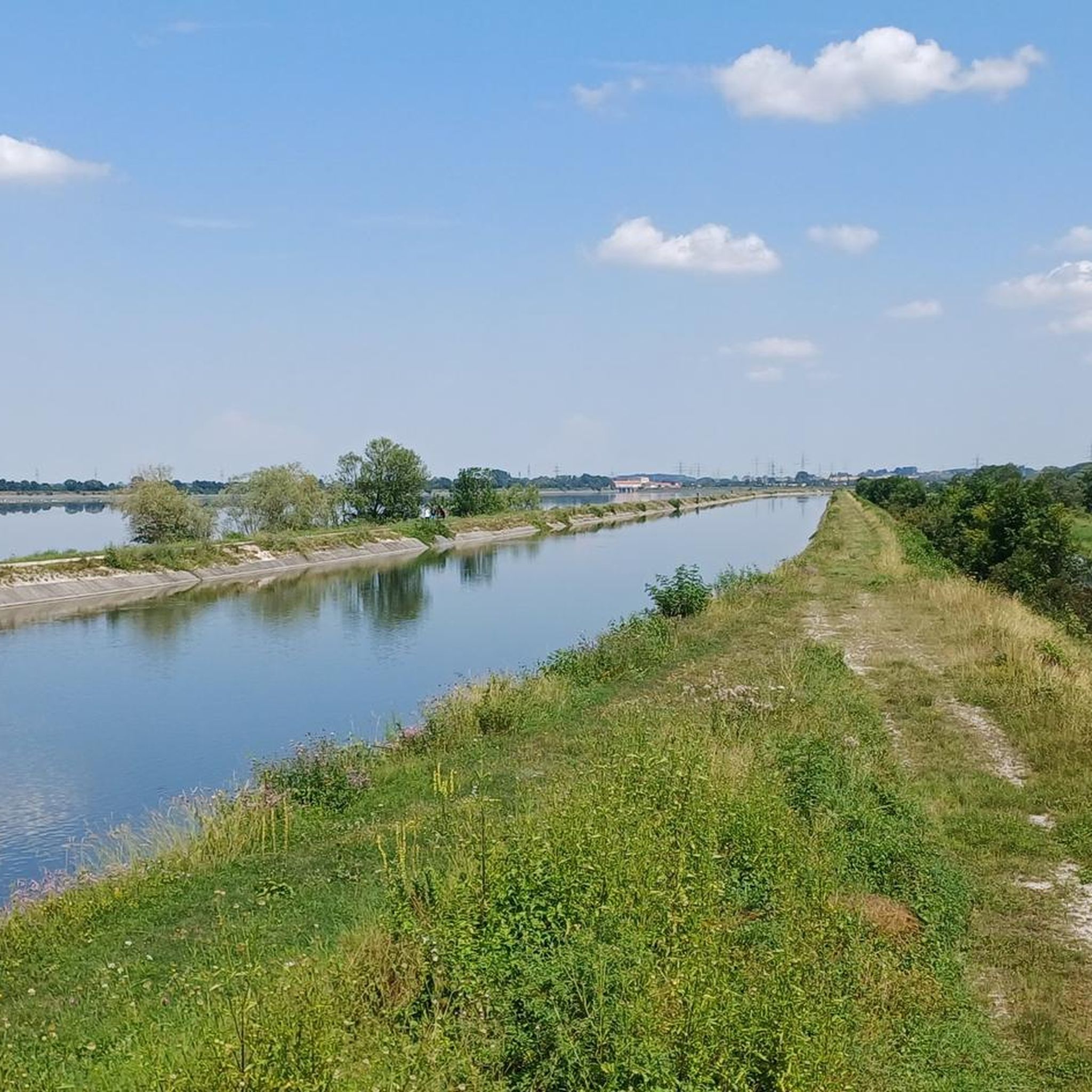
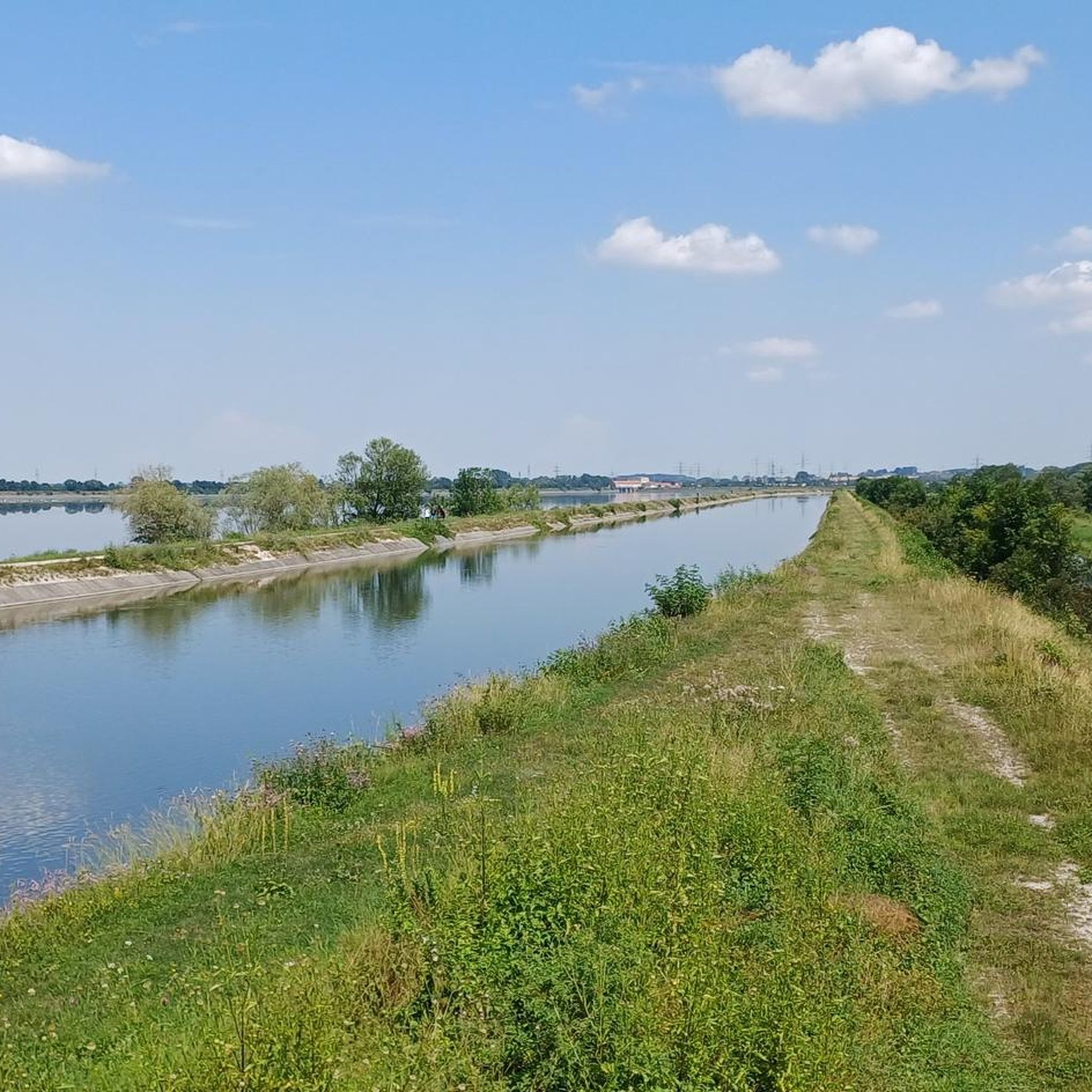
The road is now a combined foot and cycle path, where cars are actually not allowed to pass from Poing to Markt Schwaben. Unfortunately, not all car drivers adhere to this...
0
0

A great connection for inline skating. A car can still come, but essentially you have the wide road with quite passable asphalt to yourself and can - in contrast to the surrounding settlements - roll along carefree.
1
0

The road, which runs parallel to the S-Bahn (suburban railway), is officially designated as a combined pedestrian and cycle path. Apparently, however, there are drivers who don't care about that…
0
0


Be careful before Frauenreuth on the descent there is current (22.06.2025 rolling chippings) - no problem for the racing bike tires but be careful, it is a bit slippery.
0
0

A wonderful section, without traffic, with good tar
0
0

Finally there is a bike path here.
1
0
Frequently Asked Questions
How many road cycling routes are available around Pliening?
There are over 500 road cycling routes around Pliening recorded on komoot. This includes a wide variety of options, with more than 170 easy routes and over 300 moderate routes, catering to different skill levels.
Are there easy or beginner-friendly road cycling routes in Pliening?
Yes, Pliening offers many easy and beginner-friendly road cycling routes. The terrain is generally flat to gently rolling, making it suitable for less experienced riders. One such route is the Shaded Pathway Near Pliening – Finsing Pond loop from Poing, which is rated as easy.
What kind of terrain can I expect on road cycling routes around Pliening?
The road cycling routes around Pliening are characterized by open fields, quiet country roads, and small villages, typical of the Bavarian countryside. The terrain is generally flat to gently rolling, with minimal elevation changes, offering a smooth riding experience.
What do other road cyclists enjoy most about the routes in Pliening?
The road cycling routes in Pliening are highly rated by the komoot community, with an average score of 4.6 stars from over 1,200 reviews. Riders frequently praise the quiet country lanes, newly paved sections, and the scenic rural landscapes that define the area.
Are there any circular road cycling routes around Pliening?
Yes, many of the road cycling routes around Pliening are designed as loops, allowing you to start and end at the same point. Examples include the Long Straight Rural Road – Wimpasinger Bridge loop from Poing and the New Asphalt Towards Purfing – Möschenfeld–Harthausen Cycle Path loop from Poing.
What are some scenic viewpoints or attractions along the road cycling routes?
While Pliening itself is known for its rural charm, the surrounding area offers several points of interest. You can find beautiful lakes nearby, such as Ismaning Reservoir, Lake Riem, and Feringasee, which often feature cycle paths along their shores. Some routes also pass through quiet villages with traditional Bavarian architecture.
Are there routes with new asphalt for a smoother ride?
Yes, some routes around Pliening feature newly paved sections, providing a very smooth and enjoyable ride. The New Asphalt Towards Purfing – Möschenfeld–Harthausen Cycle Path loop from Poing is specifically highlighted for its smooth new asphalt through varied countryside.
Can I find less crowded road cycling routes in Pliening?
The region around Pliening is generally known for its quiet country roads and agricultural paths, making it ideal for those seeking less crowded cycling experiences. Many routes, like the Quiet road along the railway – Rollerfeld Country Road loop from Poing, specifically highlight their peaceful nature.
What is the best season for road cycling around Pliening?
The best seasons for road cycling around Pliening are typically spring, summer, and early autumn. During these months, the weather is generally mild, and the open fields and rural landscapes are at their most picturesque. Winter cycling is possible, but conditions can be colder and paths may be affected by snow or ice.
Are there any longer, more challenging road cycling routes for advanced riders?
While the terrain is generally gentle, some routes offer longer distances and moderate elevation gains, providing a good challenge for advanced riders. For instance, the New Asphalt Towards Purfing – Eichenau loop from Poing covers over 60 km with more than 400 meters of elevation gain, offering a more extensive ride.
Are there any cafes or places to stop for refreshments along the routes?
The routes often pass through small Bavarian villages where you can typically find local bakeries (Bäckereien) or traditional inns (Gasthäuser) that offer refreshments. While specific cafes are not listed for every route, these villages provide opportunities for a break and a snack.
Is parking available near the starting points of road cycling routes in Pliening?
In Pliening and the surrounding villages, you can usually find public parking options, often near community centers, train stations (like Poing), or designated village parking areas. It's advisable to check local signage for parking regulations.
Most popular attractions around Pliening

Get inspired with the komoot mobile app


Explore more
Browse the best Road cycling routes in other regions.
