The best running trails in Normandie-Maine
4.3
(179)
9,592
runners
806
runs
Jogging in Normandie-Maine offers access to surprisingly rugged and diverse natural landscapes within the Regional Natural Park. The region features extensive forests, significant hills like Mont des Avaloirs, and unique geological formations such as rocky escarpments and gorges. Joggers can explore varied terrain, from shaded woodland trails to picturesque pastoral routes alongside small streams. This diverse environment provides a range of running experiences across its varied topography.
Best jogging routes in Normandie-Maine
- The most popular jogging route is Grand Étang…
Last updated: October 10, 2026
4.2
(9)
219
runners
4.08km
00:26
20m
20m
Easy run. Great for any fitness level. Mostly paved surfaces. Suitable for all skill levels.
4.0
(3)
70
runners
9.70km
01:09
100m
100m
Moderate run. Good fitness required. Mostly accessible paths. Some sure footedness required.

4.0
(1)
43
runners
6.54km
00:52
220m
210m
Moderate run. Good fitness required. Mostly paved surfaces. Suitable for all skill levels.
5.0
(1)
33
runners
Moderate run. Good fitness required. Mostly paved surfaces. Suitable for all skill levels.
10
runners
5.23km
00:39
120m
120m
Moderate run. Good fitness required. Mostly paved surfaces. Suitable for all skill levels.
Get access to more routes and recommendations from other explorers.
Already have an account?
Our route recommendations are based on thousands of hikes, rides, and runs completed by other people on komoot.
Start today with a free account
Your next adventure awaits.
Popular around Normandie-Maine
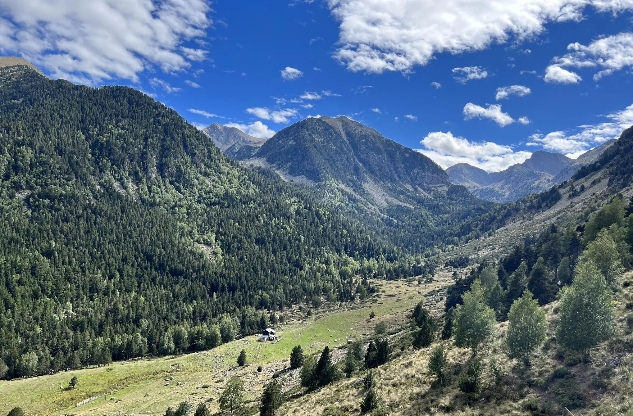
GR 36 long-distance footpath – Cross France from the Channel to the Pyrenees
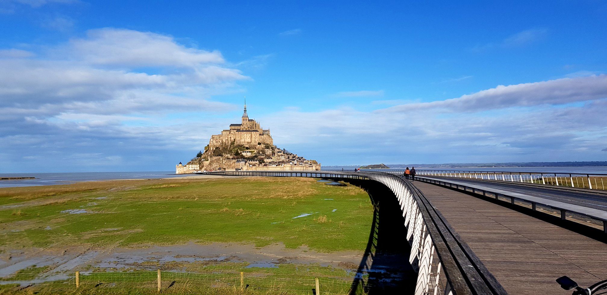
GR 22 to Mont-Saint-Michel – Miquelot's Walk
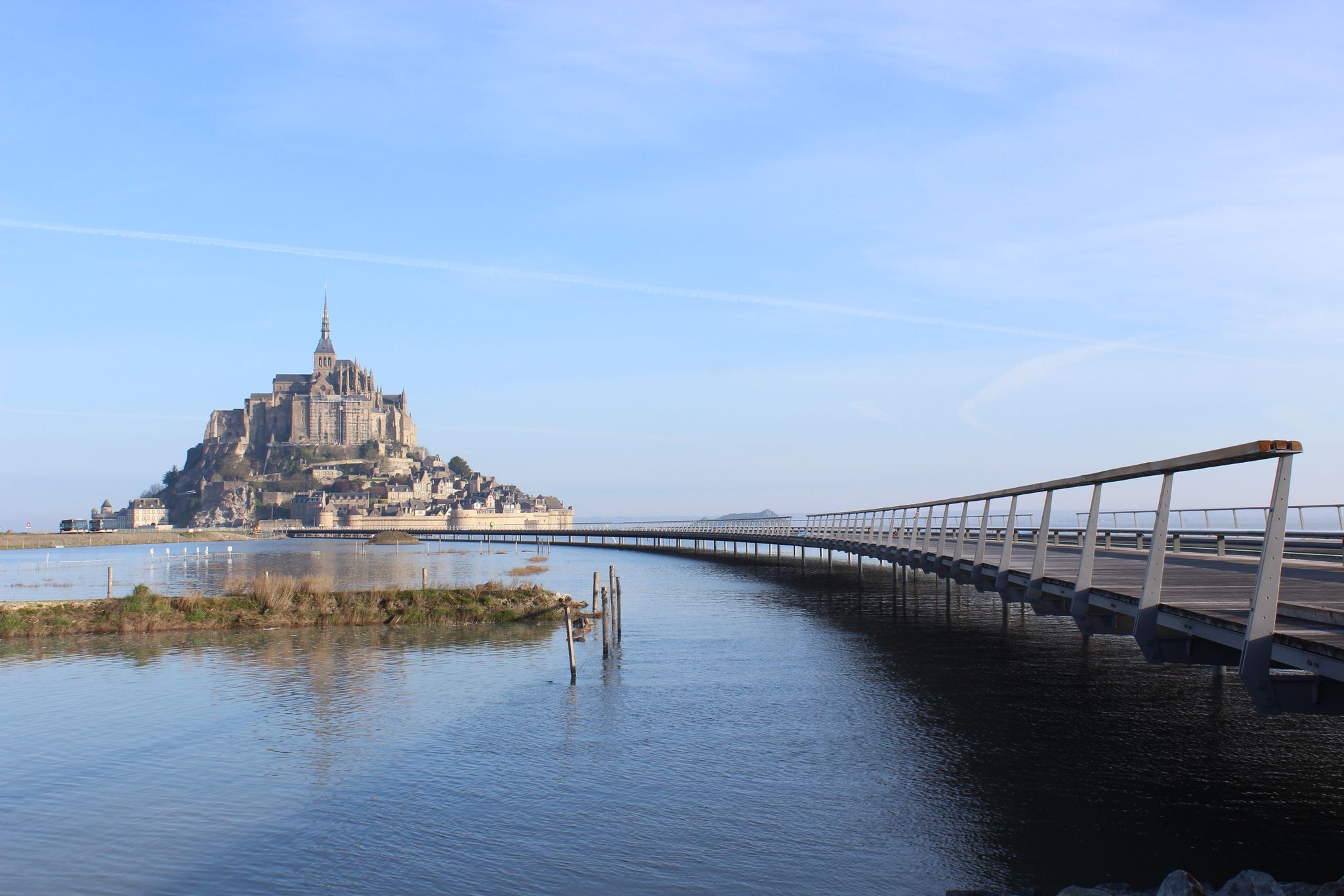
From Paris to Mont-Saint-Michel — La Véloscénie

Hiking to the summits – France's highest points
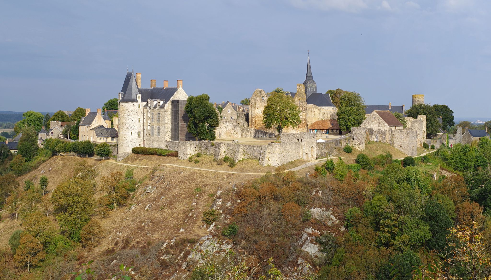
The greenways of the Mayenne by bike — An enchanted interlude
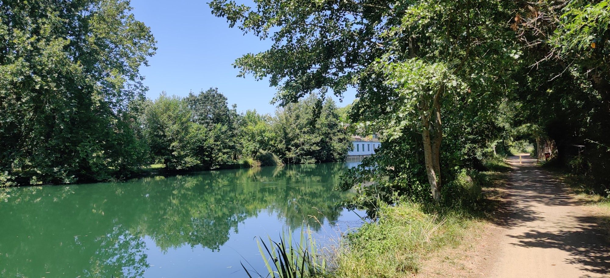
From Ouistreham to La Rochelle — riding the Vélo Francette
Hiking in Normandie-Maine
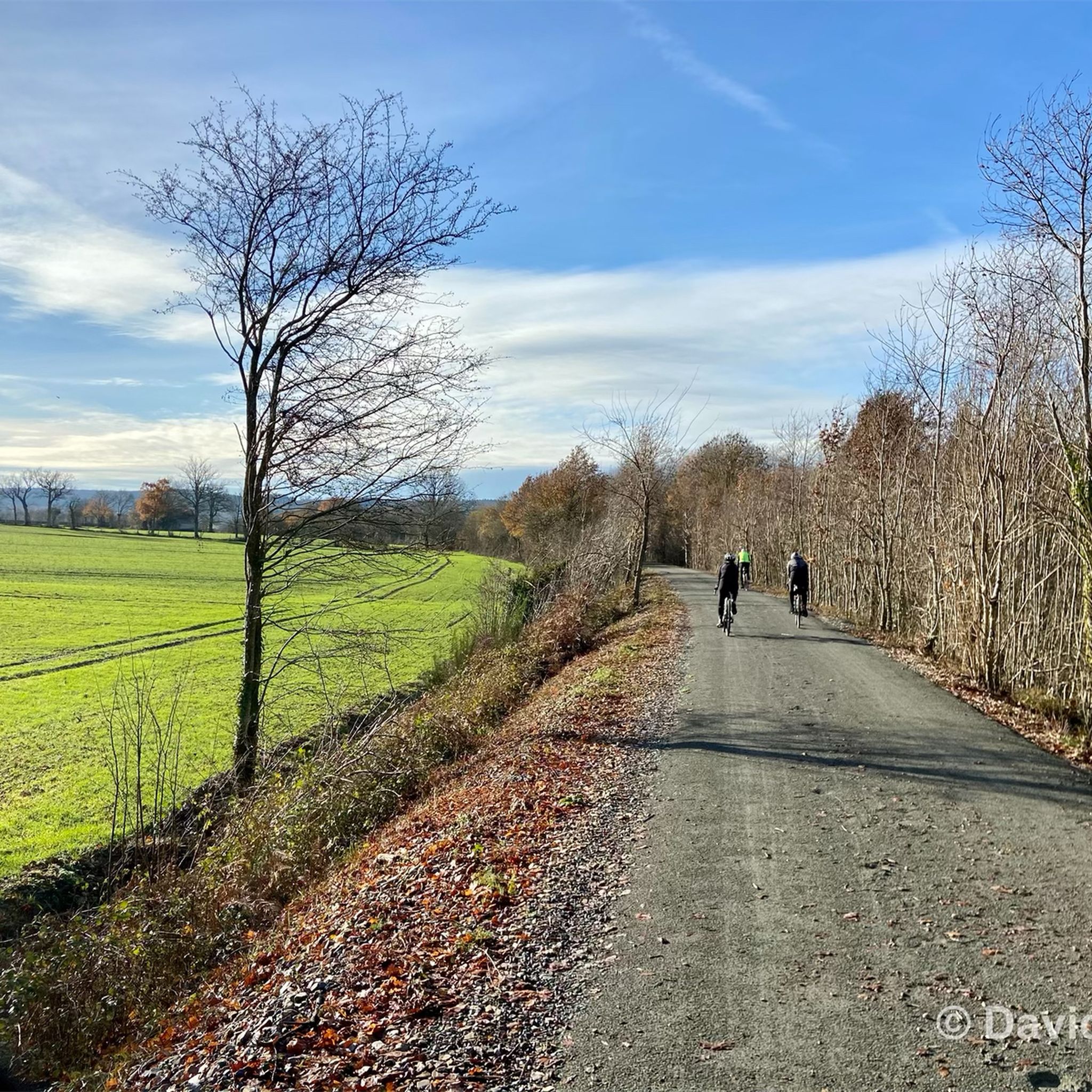
Cycling in Normandie-Maine
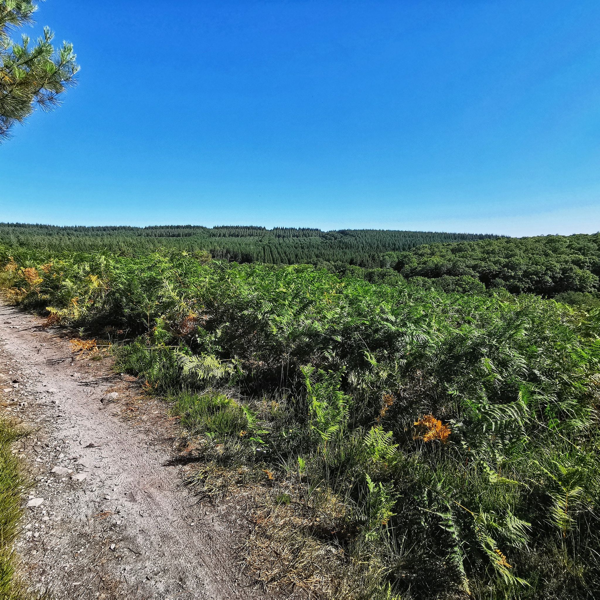
MTB Trails in Normandie-Maine
Road Cycling Routes in Normandie-Maine
Other adventures in Normandie-Maine


Tips from the Community

A truly magnificent landscape
0
0

Great old railway bridge over the river
1
0

you have to make an effort to see this! but woo top
0
0


Starting from the center of the village and crossing the bridge to this point, remember to look back and appreciate the view of the village and the church towering above you.
2
0
Couterne Castle is over 450 years old. Unlike most castles in France, this one has belonged to the same family (the Frotté family) since 1542. The current owner inherited the castle when his two older brothers were killed during the war for being part of the resistance French.
2
0
Along the water, this trail is a relaxing, tranquil walk with fantastic views along the tree-lined waterfront.
1
0
The Rosserie viaduct made it possible to take the old railway line from La Chapelle-Anthenaise to Flers, but it only serves the greenway and superb viewpoints over the Mayenne.
3
0
Frequently Asked Questions
How many running routes are available in Normandie-Maine?
Normandie-Maine offers a wide selection of running routes, with over 700 trails available on komoot. These routes cater to various fitness levels, including approximately 40 easy routes, over 500 moderate options, and more than 150 challenging trails for experienced runners.
What kind of terrain can I expect on the running trails in Normandie-Maine?
The region is known for its surprisingly rugged and diverse natural landscapes. You'll find extensive forests, significant hills like Mont des Avaloirs, and unique geological formations such as rocky escarpments and gorges. Trails can range from shaded woodland paths to picturesque pastoral routes alongside small streams, offering varied topography for every runner.
Are there any easy running routes suitable for beginners in Normandie-Maine?
Yes, there are numerous easy running routes perfect for beginners. One popular option is the Grand Étang Loop, a gentle 2.5-mile (4.1 km) path around a scenic lake, ideal for a relaxed jog. There are approximately 40 easy routes available in the region.
Can I find challenging trail running routes with significant elevation in Normandie-Maine?
Absolutely. Normandie-Maine boasts some of Western France's highest peaks, such as Mont des Avaloirs and Signal d'Écouves, providing excellent opportunities for challenging trail running. The region's rugged geological formations and diverse forests offer routes with notable elevation changes, perfect for advanced runners. For example, the Vallée de Misère Trail features significant climbs over its 4.1 miles (6.5 km).
What do other runners say about the trails in Normandie-Maine?
The running routes in Normandie-Maine are highly rated by the komoot community, with an average score of 4.3 stars from over 100 reviews. Runners often praise the varied terrain, the beauty of the diverse forests, and the scenic views from the region's hills and viewpoints, making for a rewarding outdoor experience.
Are there any circular running routes in Normandie-Maine?
Yes, many running routes in Normandie-Maine are circular, allowing you to start and finish at the same point. An example is the Along the Lac de Haute Mayenne loop, which offers a moderate 9.3-mile (14.9 km) run from Ambrières-les-Vallées.
Are there any waterfalls or unique natural features to see along running routes?
Yes, the region features unique natural attractions. You can explore areas like La Grande Cascade de Mortain, one of Normandy's few waterfalls, where the Cance river plunges 20 meters. The Alpes Mancelles also offer steep relief and scree slopes, showcasing the park's 600-million-year geological history.
What historical landmarks or points of interest can I discover while running in Normandie-Maine?
Beyond natural beauty, the park is rich in cultural heritage. You can pass through traditional towns and discover castles such as Carrouges Castle or Domfront Castle. The medieval town of Domfront itself is a notable historical site, blending physical activity with historical exploration.
Are the running trails in Normandie-Maine suitable for families?
Many trails in Normandie-Maine are suitable for families, especially the easier, flatter routes found in pastoral landscapes or around lakes. The extensive network of marked paths ensures options for various ages and abilities. Look for routes with gentle paths and minimal elevation for a family-friendly experience.
Can I bring my dog on the running routes in Normandie-Maine?
Generally, dogs are welcome on many trails within the Normandie-Maine Regional Natural Park. However, it's always recommended to keep your dog on a leash, especially in forested areas or near livestock, to protect wildlife and ensure a pleasant experience for all users. Specific rules may vary by location, so check local signage.
What is the best time of year to go running in Normandie-Maine?
The diverse landscapes of Normandie-Maine make it suitable for running throughout much of the year. Spring and autumn offer pleasant temperatures and beautiful scenery with changing foliage. Summer provides shaded trails in the extensive forests, while some routes may be accessible in winter, depending on conditions. Always check local weather forecasts before heading out.
Is public transport available to access running trails in Normandie-Maine?
While some larger towns within the Normandie-Maine Regional Natural Park may have public transport connections, many trailheads are best accessed by car. It's advisable to research specific route starting points and check regional transport schedules if you plan to rely on public transport.
Are there any permits required for running in the Normandie-Maine Regional Natural Park?
No specific permits are generally required for recreational running on the marked paths and bridleways within the Normandie-Maine Regional Natural Park. The park actively encourages visitors to explore its wonders on foot. However, always respect private property and follow any local regulations or signage.
Most popular routes in Normandie-Maine
Most popular attractions in Normandie-Maine

Get inspired with the komoot mobile app


