The best cycling routes around Celico
4.4
(177)
1,846
riders
151
rides
Touring cycling around Celico offers diverse landscapes, from the mountainous Sila plateau to the shores of Lake Cecita. The region is characterized by significant elevation changes, dense forests, and rural districts. Situated at an average altitude of approximately 800 meters, Celico provides access to a network of routes that traverse varied terrain.
Best touring cycling routes around Celico
- The most popular touring cycling route is Lake Cecita – Lago di Cecita loop from Fiume Mucone, a 24.3 miles (39.1…
Last updated: July 7, 2026
5.0
(7)
29
riders
62.3km
04:25
1,260m
1,260m
Embark on the Sila Road of the Peaks Loop, a challenging touring cycling route that spans 38.7 miles (62.3 km) and features a significant 4136 feet (1260 metres) of elevation…
5.0
(2)
23
riders
67.0km
04:31
1,110m
1,110m
Embark on a difficult touring cycling loop through the heart of the Sila National Park, often called the "green lung of Calabria." This 41.6-mile (67.0 km) route, with its 3632…

Sign up for free
4.6
(5)
24
riders
Embark on a difficult touring bicycle loop around Lago di Cecita, starting from Camigliatello Silano in the Sila National Park. This challenging route spans 25.9 miles (41.6 km) with a…
4.9
(14)
99
riders
Hard bike ride. Very good fitness required. Mostly paved surfaces. Suitable for all skill levels.
4.7
(10)
41
riders
65.8km
04:14
880m
880m
Hard bike ride. Very good fitness required. Mostly paved surfaces. Suitable for all skill levels.
Get access to more routes and recommendations from other explorers.
Sign up for free
Already have an account?
Our route recommendations are based on thousands of hikes, rides, and runs completed by other people on komoot.
Start today with a free account
Your next adventure awaits.
Login or Signup
Tips from the Community

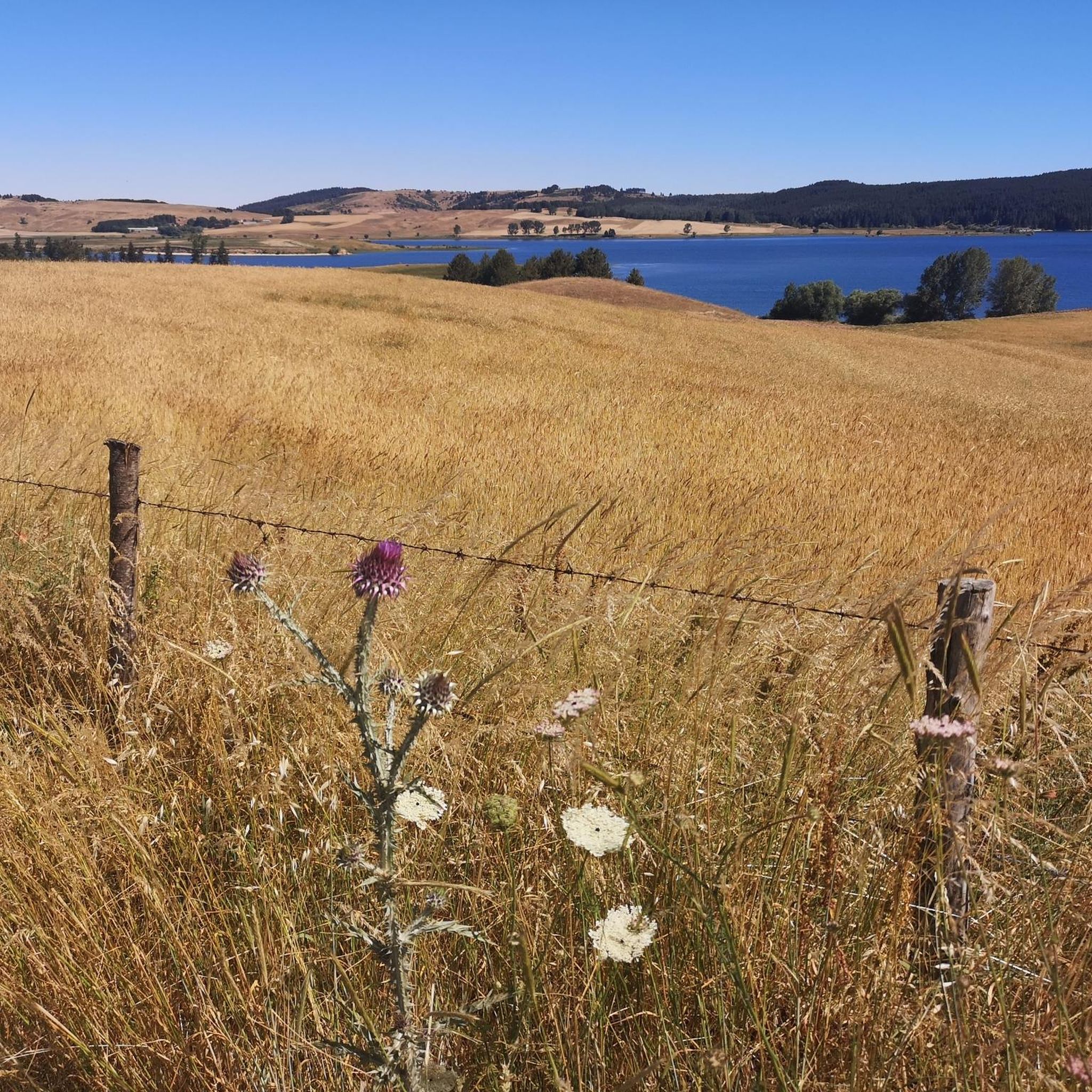
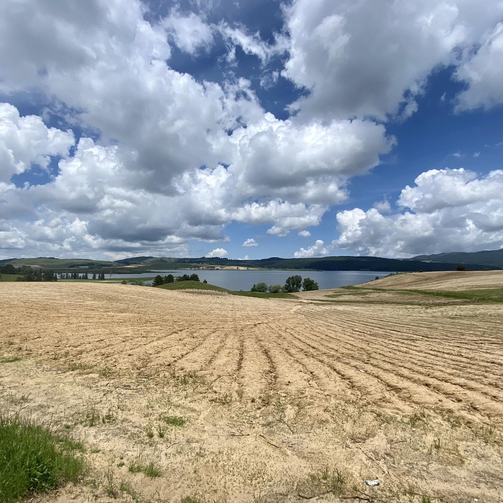
Lake Cecita, in the splendid panorama of the Sila
0
0
Lake Cecita is one of the artificial basins that has adapted best to the Sila landscape
0
0

After a ride around the lake... time for some serious charging. The local Patate della Sila IGP is not only legendary in taste, but also fuel, which grows thanks to the same water you just passed. Grown right next to the trail, it ends up on your plate before you even have time to take off your helmet😅. Perfect after the kilometers you've racked up.
1
0
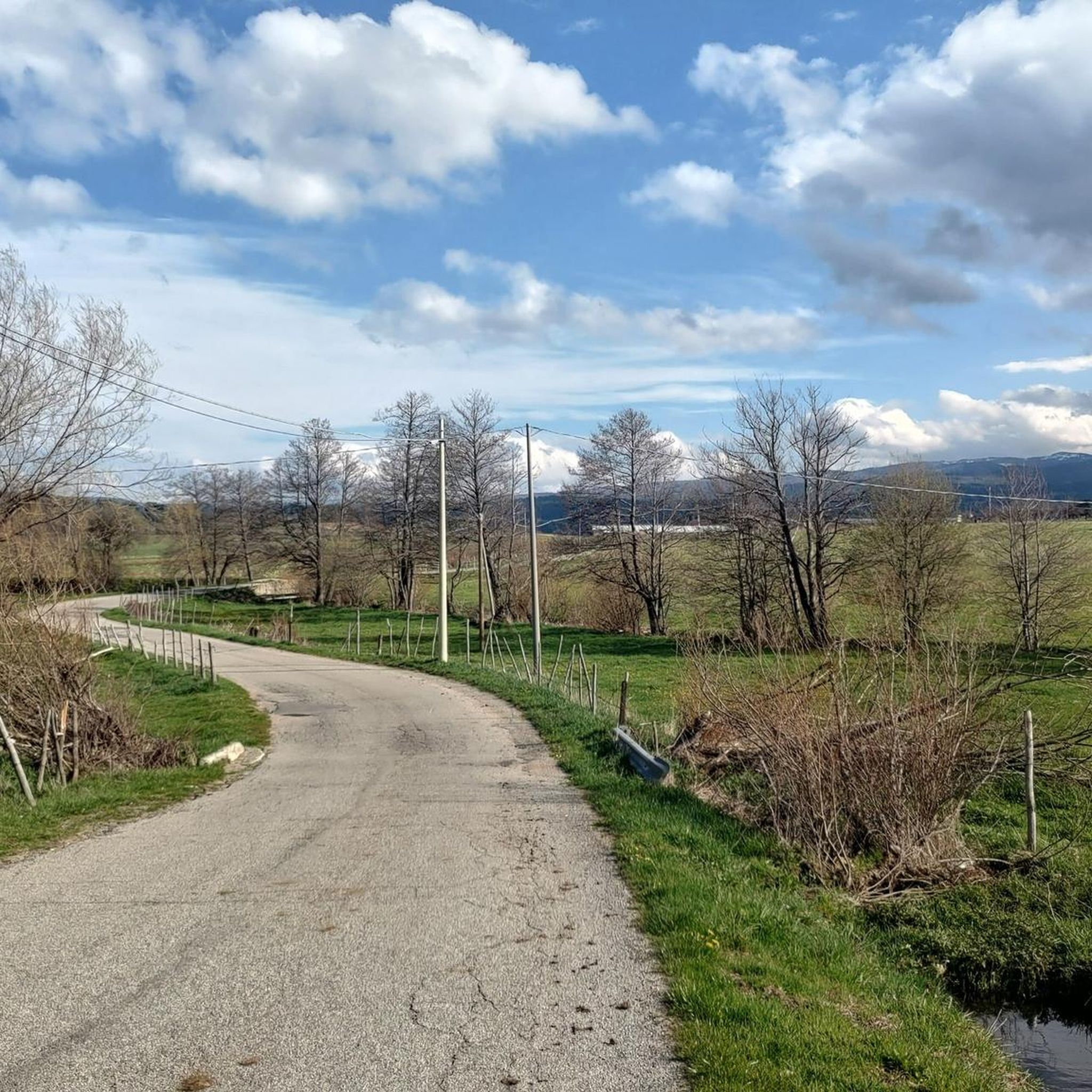
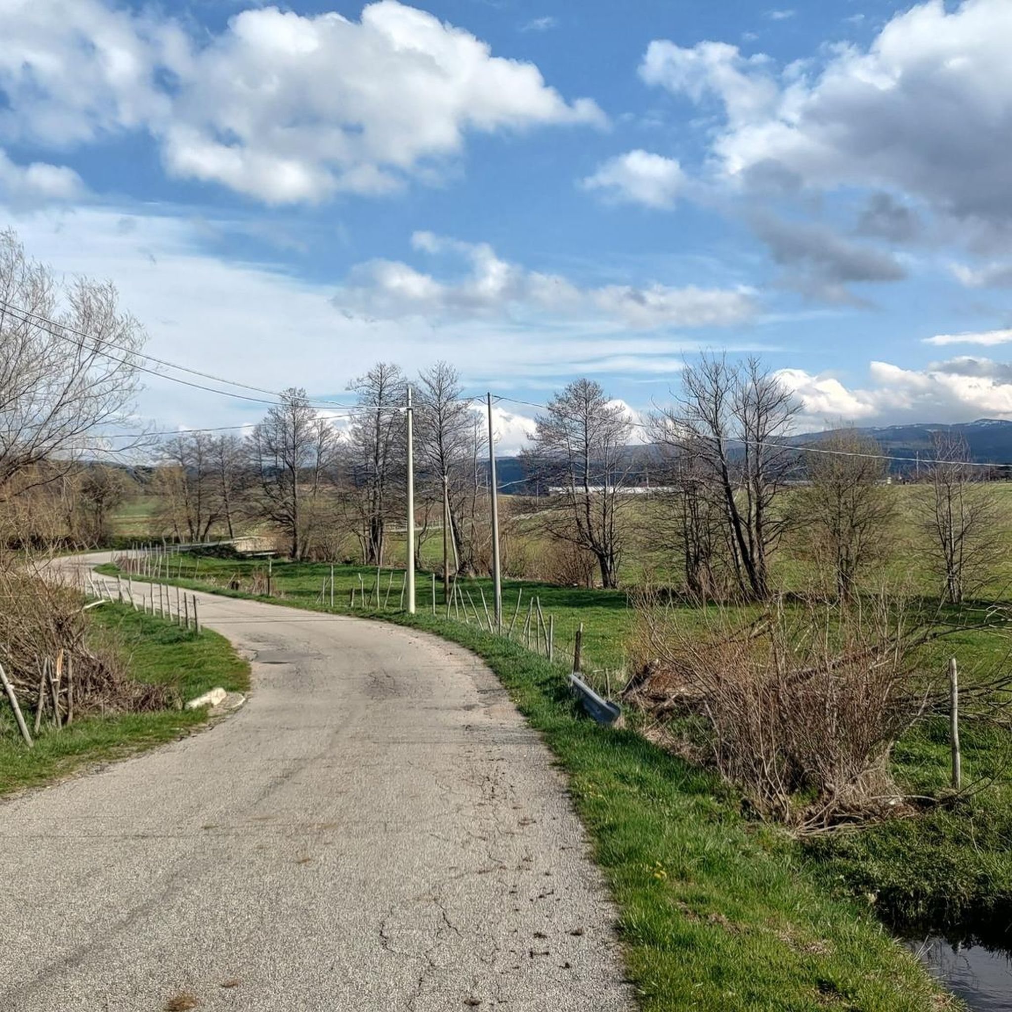
The Ciclovia dei Parchi della Calabria runs around the lake. Although the entire Ciclovia is considered a route for experienced cyclists due to the significant elevation gain, the lake section is characterized by a more accessible profile. The sections are dominated by flat or gentle climbs, making it suitable for cyclists with average physical fitness. The surface is mixed, alternating between asphalt and gravel sections (natural surfaces and dirt roads), typical of cycle routes immersed in nature. For this reason, a trekking, gravel or mountain bike is most suitable.
1
0
Photos from this place best reflect the natural and wild character of Lago di Cecita, whose surface is located at 1,143 meters above sea level. The forest not only does not end at the water line, but actually penetrates it. Tall conifers and lower shrubs create a dense wall of greenery, the lowest parts of which grow out of the lake's depths. It looks as if nature perfectly incorporated the body of water into the existing forest, creating a harmonious, forest-water scenery.
1
0
The Transumanza has been part of the daily lives of shepherds in Calabria for centuries – now a thing of the past, but one that can still be seen, felt and walked. The old trails that they used to take their sheep from the Ionian plains to the mountain pastures of the Sila have now been transformed into walking and cycling routes. In towns like Longobucco, San Giovanni in Fiore and Camigliatello Silano, annual Transumanza festivals are held: with grazing demonstrations, local food, music and crafts. It’s a chance to see the real Calabria – unfiltered and unhurried.
0
0
The Mucone Valley, surrounded by the forests of the Sila Grande, was for centuries a key part of the so-called transumanza, the seasonal migration of shepherds and their flocks between the warm valleys of Calabria and the cool mountain pastures. In summer, shepherds would travel to the mountains, where the Sila plateau had lower temperatures and higher humidity, providing fresh, lush grass, ideal for grazing. In winter, they would descend to the lower areas by the Ionian Sea, where the milder climate and warmer conditions allowed them to survive the cold winter months.
0
0
Geography is clear: the Mucone Valley lies in the Sila Grande massif, at an altitude of around 1,100 to 1,500 m above sea level. It is crossed by the Mucone River, which not only carved out the valley but also inspired man to dam its waters, creating today the impressive Lago di Cecita, the largest artificial reservoir in Calabria. It has a surface area of around 12 km² and its presence has changed the local microclimate, fauna and landscape. Some say for the better. Others say simply “differently”.
0
0
Frequently Asked Questions
How many touring cycling routes are available around Celico?
There are over 130 touring cycling routes in and around Celico. These routes offer a diverse range of experiences, from challenging mountain climbs to scenic loops around Lake Cecita.
What are the general difficulty levels for touring cycling routes in Celico?
The routes around Celico cater to various skill levels, though many are quite challenging. You'll find approximately 7 easy routes, 29 moderate routes, and over 100 difficult routes, often featuring significant elevation changes characteristic of the mountainous Sila plateau.
What kind of terrain can I expect on touring cycling routes around Celico?
Touring cycling in Celico is defined by its diverse terrain. You can expect mountainous roads, sections traversing the Sila plateau with its dense forests, and picturesque routes circling Lake Cecita. The region's average altitude of 800 meters means many routes include notable climbs and descents.
Are there any circular touring cycling routes around Celico?
Yes, many routes in the Celico area are designed as loops, offering a complete circular journey. For example, the popular Lake Cecita – Lago di Cecita loop from Fiume Mucone and the more challenging Lake Cecita – Lake Cecita loop from Campo San Lorenzo both provide extensive views of the lake and its surroundings.
What natural features can I see along touring cycling routes in Celico?
The region is rich in natural beauty. Many routes will take you past stunning natural features such as Lake Cecita, the vast I Giganti della Sila Nature Reserve with its ancient trees, and various viewpoints offering panoramic vistas, including a high-altitude section in the Sila park. You might also encounter other lakes like Lago Ariamacina and Macchialonga Pond.
Are there any historical landmarks or cultural sites accessible by touring bike in Celico?
Yes, while cycling, you can encounter several historical and cultural sites. Within Celico itself, you might pass the San Michele Parish Church (dating back to the ninth century) and the Mother Church of S. Nicola di Bari (from the 16th century). The Church of the Assumption, built on the birthplace of Abbot Gioacchino da Fiore, is also noteworthy. The Museum of Rural Traditions of the Silano Plateau offers insight into the area's heritage.
What is the best time of year for touring cycling in Celico?
Celico's mountainous location means that spring, summer, and early autumn generally offer the most pleasant conditions for touring cycling. These seasons provide milder temperatures and less chance of snow, allowing full access to the Sila plateau and its diverse routes. Always check local weather forecasts before heading out.
Are there any easy touring cycling routes suitable for beginners in Celico?
While many routes are challenging, there are a few easier options. Approximately 7 routes are classified as easy, offering less demanding terrain and elevation. These are ideal for those new to touring cycling or looking for a more relaxed ride through the scenic landscapes.
What do other touring cyclists enjoy the most about touring cycling in Celico?
The area is highly rated by the komoot community, with an average score of 4.5 stars from over 150 reviews. Reviewers often praise the diverse landscapes, from the serene lake views to the challenging mountain passes, and the immersive experience within the Sila plateau's natural beauty.
Are there any challenging touring cycling routes for experienced riders?
Absolutely. Celico is known for its challenging routes, with over 100 classified as difficult. An example is the Spezzano della Sila – Montescuro Pass loop from Spezzano della Sila, which covers over 50 km with significant elevation gain, leading through mountainous terrain. Another demanding option is the Montescuro Pass – Water!! loop from Rovito, offering over 66 km and substantial climbing.
Are there routes that connect Celico with nearby towns and villages?
Yes, many touring cycling routes in the region connect Celico with charming nearby towns and villages. These include places like Camigliatello Silano, Spezzano della Sila, Spezzano Piccolo, Pedace, Serra Pedace, and Rovito, allowing cyclists to experience local culture and architecture as part of their ride.
Can I find routes with significant elevation changes for a good workout?
Celico is situated in a mountainous region, so routes with significant elevation changes are common. For instance, the Spezzano della Sila – Montescuro Pass loop from Spezzano della Sila features over 1600 meters of ascent, providing an excellent challenge for those seeking a strenuous workout amidst beautiful scenery.
Most popular attractions around Celico

Get inspired with the komoot mobile app


Explore more
Browse the best Cycling routes in other regions.
