The best walks and hikes around Armento
4.4
(18)
50
hikers
2
hikes
Hiking around Armento offers diverse opportunities to explore the natural landscapes of Basilicata, Italy. The region is characterized by the prominent Monte Raparo, which provides panoramic views of the Val d'Agri, and the protected ecosystem around Lake Pertusillo. Hikers can also experience the unique geological formations of the Lucan Gullies, particularly near the village of Aliano. This area combines mountainous terrain with river valleys, offering varied hiking terrain.
Best hiking trails around Armento
- The most popular hiking route is Monte…
Last updated: June 24, 2026
4.3
(3)
8
hikers
11.1km
03:58
510m
510m
Moderate hike. Good fitness required. Mostly accessible paths. Sure-footedness required.
4.0
(11)
21
hikers
8.42km
02:41
360m
360m
Moderate hike. Good fitness required. Easily-accessible paths. Suitable for all skill levels.

Sign up for free
4.5
(2)
16
hikers
9.57km
03:18
530m
530m
Moderate hike. Good fitness required. Easily-accessible paths. Suitable for all skill levels.
5.0
(1)
3
hikers
10.4km
03:19
420m
420m
Moderate hike. Good fitness required. Easily-accessible paths. Suitable for all skill levels.
4.0
(1)
2
hikers
19.3km
05:51
640m
640m
Hard hike. Very good fitness required. Easily-accessible paths. Suitable for all skill levels.
Our route recommendations are based on thousands of hikes, rides, and runs completed by other people on komoot.
Start today with a free account
Your next adventure awaits.
Login or Signup
Popular around Armento
Tips from the Community

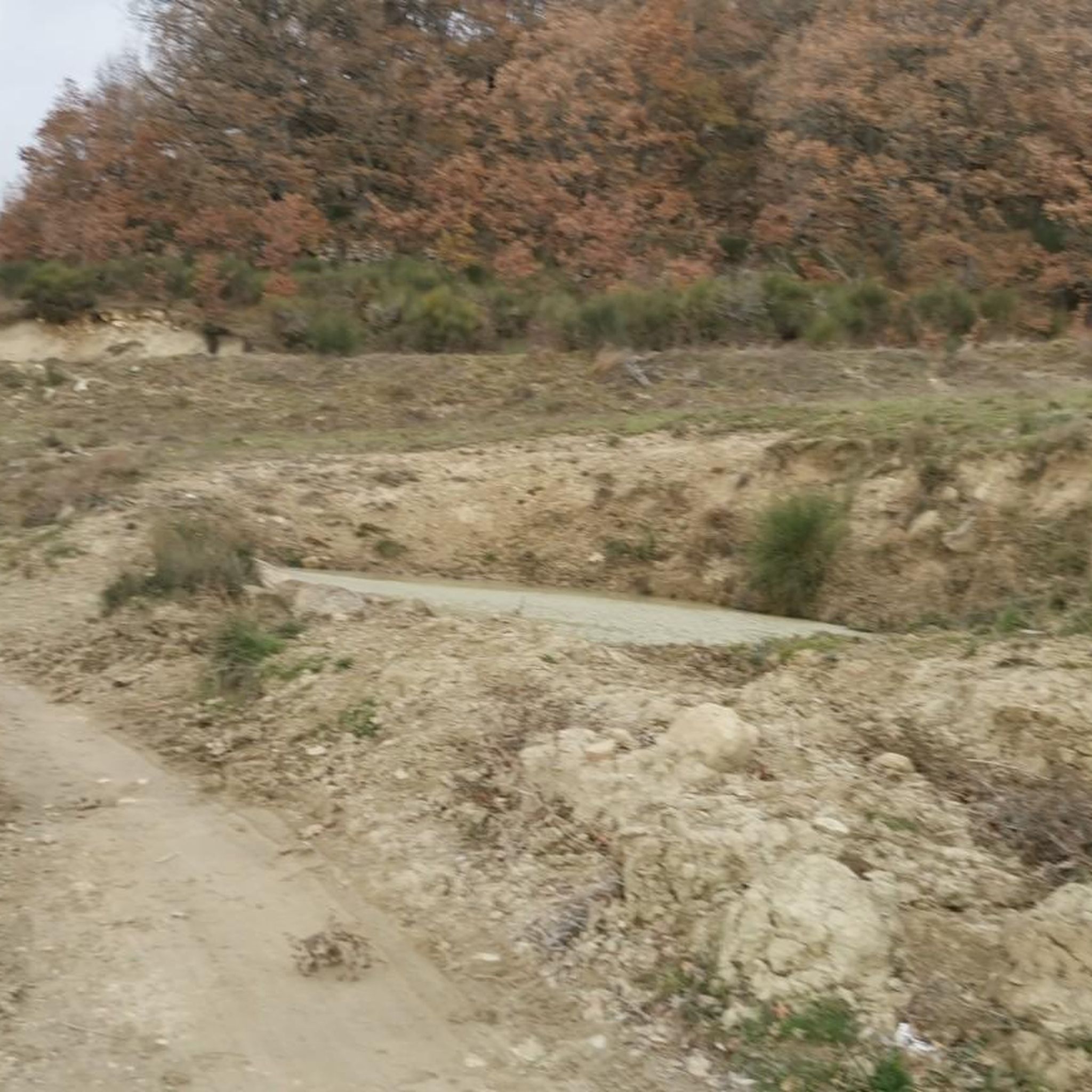
There's no longer a definite path here. When it rains, everything floods, and it was also a bit muddy and sticky. Just follow the animal tracks. But a few meters further on, the path continues uphill again, along a small trail.
0
0
You can also explore the abandoned part of the village. Super interesting.
0
0
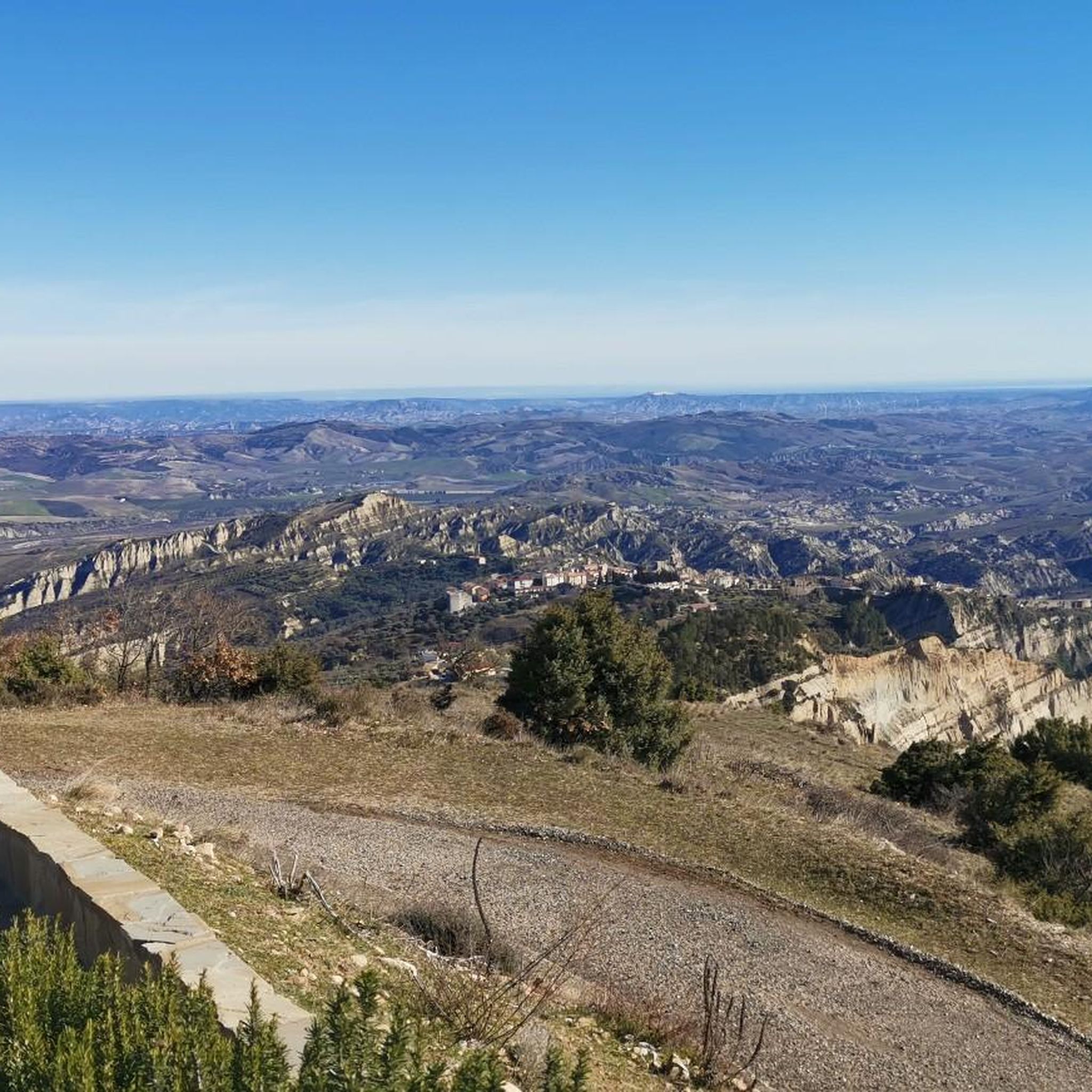
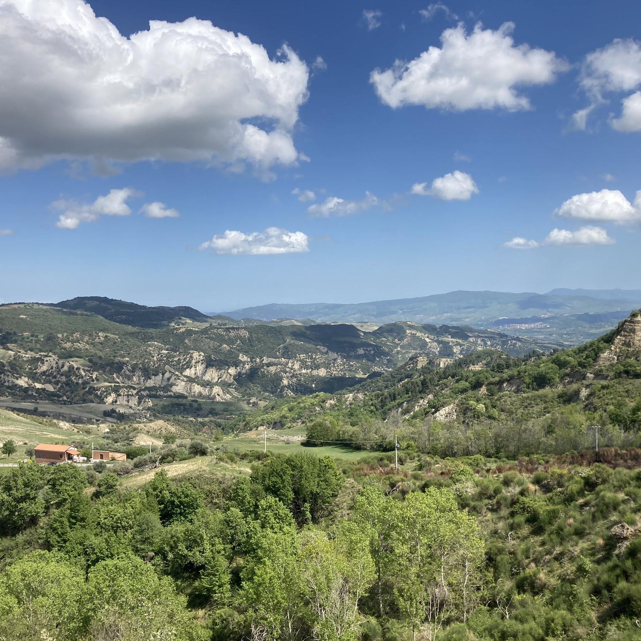
A great village with spectacular views of the Calanchi.
0
0

One of the most fascinating peaks of Basilicata: Monte Raparo, starting from the Croce di Raparo Refuge. A walk immersed in the wild beauty of the SIC Monte Raparo, among woods, deep silences and breathtaking views.
0
0

Fairly easy route to reach the summit by bike, incredible 360° panorama.
0
0

From the summit, located at 1764 meters above sea level, you can admire a panorama of the Val d'Agri.
1
1
Summit located after Monte Raparo (1764 meters) and slightly lower (1672 meters). The path to reach it after Monte Raparo is not always clear and could be confusing, however there are no exposed sections.
1
0
Frequently Asked Questions
What are the typical difficulty levels for hiking trails around Armento?
The hiking trails around Armento generally range from easy to moderate. For example, the ascent to Monte Raparo and Verro Croce from Rifugio Forestale Croce di Raparo is considered moderate, offering a rewarding experience without extreme challenges. There are no difficult trails listed directly from Armento in this guide, making the area accessible for a wide range of hikers.
What natural landmarks or viewpoints can I discover on hikes near Armento?
The Armento area is rich in natural beauty and significant viewpoints. You can hike to the Monte Raparo Summit, which offers breathtaking 360° panoramic views of the Val d'Agri. Another notable spot is the Viewpoint over the Bersagliere Ravine, providing expansive vistas over the Fosso del Bersagliere in Aliano, a landscape famously described in Carlo Levi's 'Christ Stopped at Eboli'. Additionally, Lake Pertusillo, an artificial lake, offers scenic trails amidst diverse local fauna and flora.
Are there family-friendly hiking options around Armento?
Yes, the region offers trails suitable for families. While specific 'easy' routes are not detailed in this guide, the general accessibility of trails around Lake Pertusillo and the fairly easy ascent to Monte Raparo Summit suggest that many paths can be enjoyed by families looking for outdoor adventures. Always check the route details for distance and elevation to ensure it matches your family's capabilities.
Can I bring my dog on hikes in Armento?
Generally, dogs are welcome on hiking trails in the Armento region, especially in natural areas like Monte Raparo and around Lake Pertusillo. However, it's always recommended to keep your dog on a leash, especially in protected areas or when encountering wildlife or other hikers, to ensure safety and respect for the environment. Specific leash rules for individual trails might vary, so always be prepared.
Are there any good circular hiking routes in the Armento area?
Yes, there are several excellent circular routes available. For instance, you can explore the Monte Raparo Summit loop from Serra dell'Isca, which offers a rewarding climb and descent. Another option is the Narrow alleys in Aliano – View of the Badlands loop from Aliano, which combines cultural exploration with scenic views of the unique Lucan gullies.
Where can I park when hiking near Armento?
Parking availability often depends on the specific trailhead. For routes like the Monte Raparo and Verro Croce from Rifugio Forestale Croce di Raparo, you would typically find parking near the Rifugio Forestale Croce di Raparo. For trails starting in villages like Aliano, designated parking areas are usually available within or on the outskirts of the town. It's advisable to check the starting point of your chosen route for specific parking recommendations.
Is it possible to reach hiking trails near Armento by public transport?
While Armento itself is a small town, public transport options to specific trailheads can be limited. Major towns in the Val d'Agri region might have bus services, but direct connections to remote hiking starting points are rare. For most trails, especially those in more natural and less populated areas like Monte Raparo or Lake Pertusillo, personal transportation is often the most convenient way to access the trailheads. Always check local bus schedules for the nearest towns if you plan to rely on public transport.
What is the best time of year to go hiking around Armento?
The best time for hiking around Armento is typically during the spring (April to June) and autumn (September to October). During these seasons, the weather is generally mild and pleasant, with comfortable temperatures for outdoor activities. Spring brings blooming wildflowers, while autumn offers beautiful foliage. Summer can be quite hot, especially at lower elevations, so early morning or late afternoon hikes are recommended if visiting then. Winter can bring colder temperatures and potential snow at higher altitudes like Monte Raparo.
What do other hikers enjoy the most about hiking in Armento?
The Armento area is highly rated by the komoot community, with an average score of 4.4 stars. Reviewers often praise the profound tranquility and wild beauty of the landscapes, particularly the immersive natural experience offered by the panoramic views from Monte Raparo Summit. The unique geological formations of the Lucan Gullies and the cultural significance of Aliano also receive high acclaim for providing diverse and engaging experiences.
Are there any cultural or historical sites to explore while hiking near Armento?
Absolutely. The village of Aliano, famously associated with Carlo Levi's novel 'Christ Stopped at Eboli', is a significant cultural highlight. You can explore its narrow alleys and dramatic setting overlooking the Lucan gullies, as seen on the Narrow alleys in Aliano – View of the Badlands loop from Aliano. Additionally, the Madonna della Grotta Shrine offers a spiritual and historical point of interest within the natural landscape.
What kind of terrain can I expect on the hiking trails around Armento?
The terrain around Armento is quite varied, reflecting the region's diverse landscapes. You can expect well-trodden paths and forest trails, especially on routes leading to Monte Raparo Summit. Around Lake Pertusillo, trails are generally flatter and suitable for cycling as well as hiking. In areas like Aliano and the Lucan Gullies, you'll encounter paths winding through unique badlands formations and potentially some uneven, eroded surfaces. Always wear appropriate hiking footwear for varied conditions.
Most popular attractions around Armento

Get inspired with the komoot mobile app


Explore more
Browse the best Hikes in other regions.
