The best cycling routes around Montemurro
30
riders
16
rides
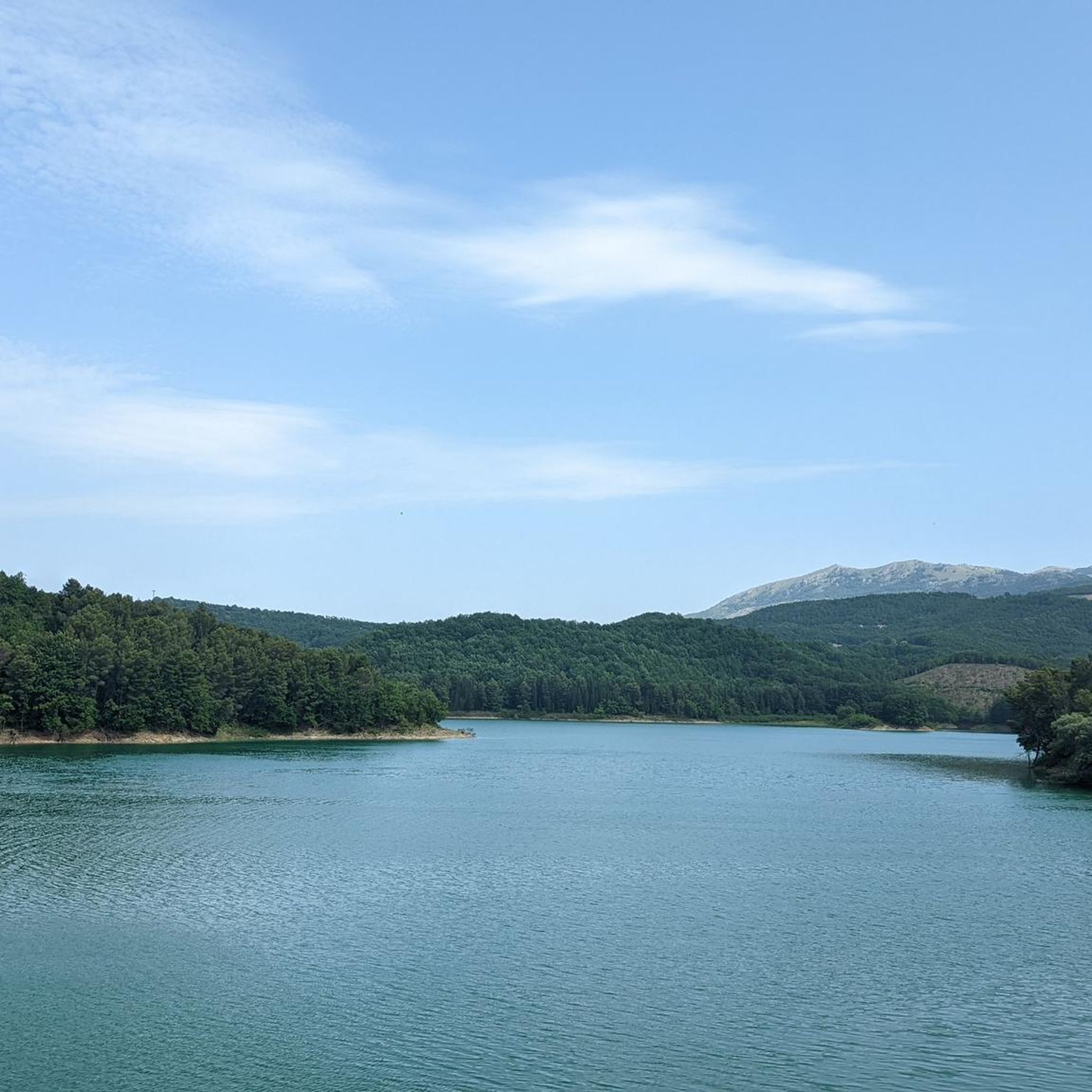
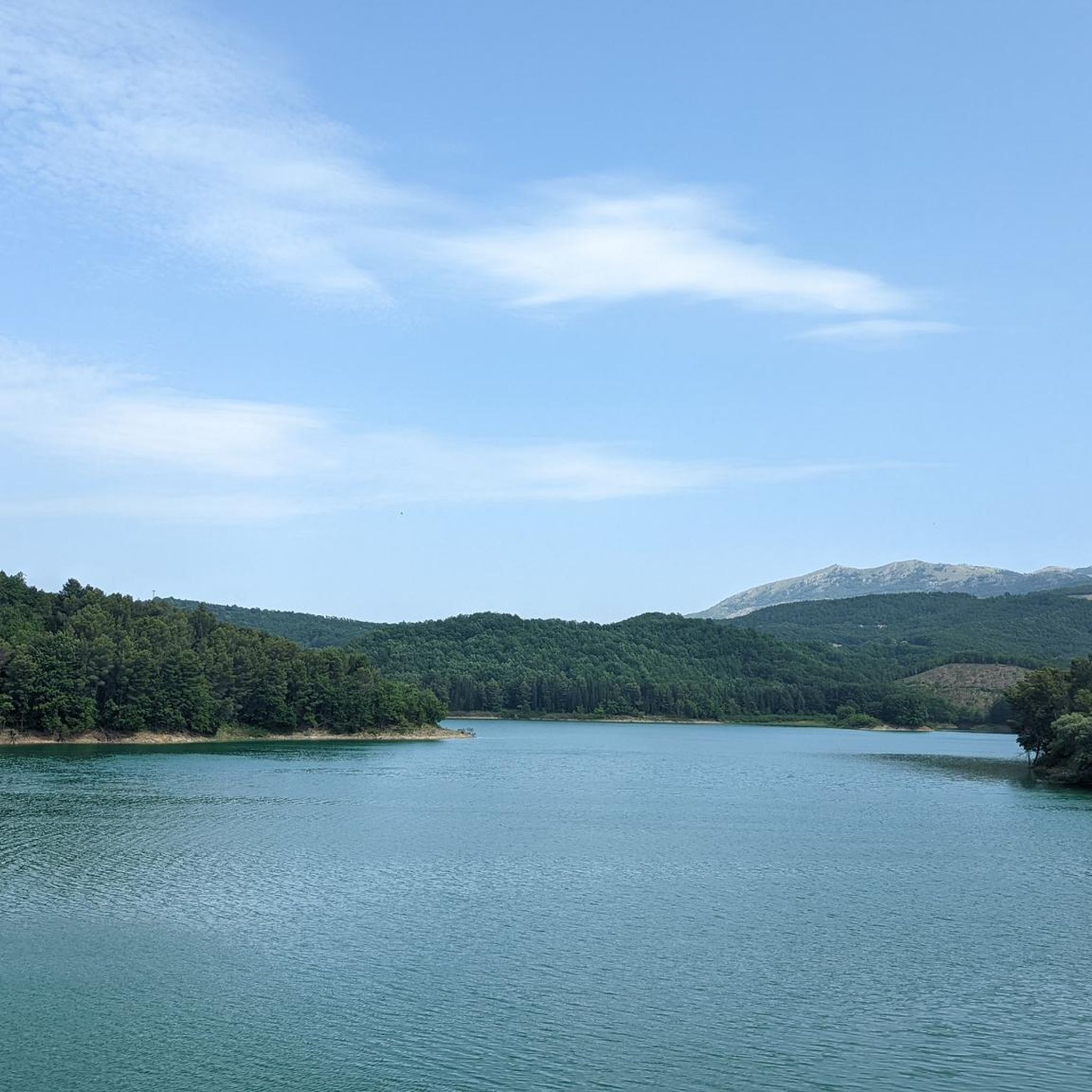
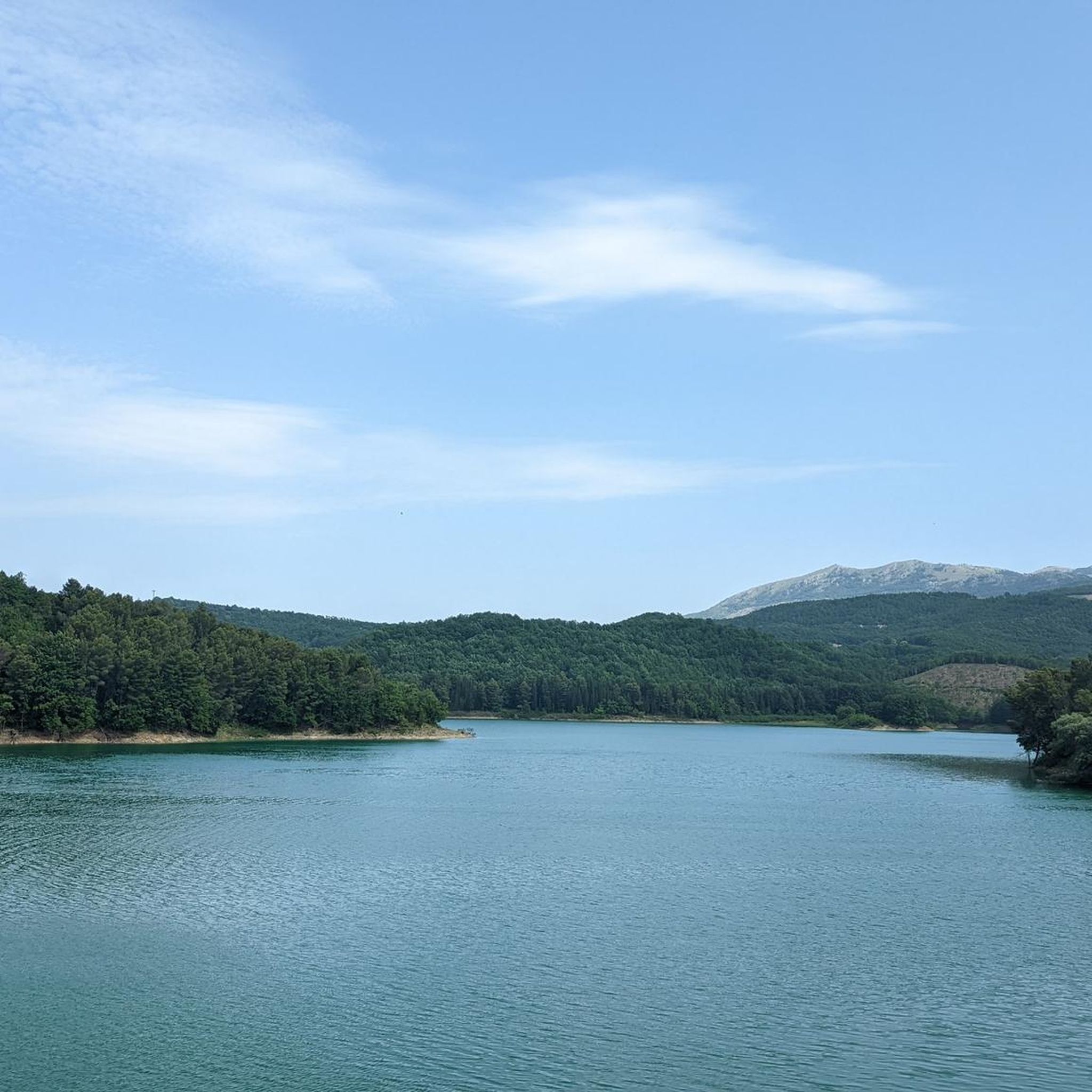
Touring cycling around Montemurro offers varied terrain within the Val d'Agri National Park, characterized by its diverse orography. The landscape ranges from the 532-meter elevation of Pietra del Pertusillo Lake to the 1,300-meter peak of Mount Santo Iaso. This region provides a mix of lakeside circuits, agricultural landscapes, and challenging mountain climbs.
Best touring cycling routes around Montemurro
- The most popular touring cycling route is Lake Pertusillo and Grumentum Loop, a 26.3 miles (42.4 km) trail that takes 2 hours 53 minutes to complete, offering views of the lake and passing by the Grumentum Archaeological Park.
- Another top favourite among local touring cyclists is Lucanian Dolomites Loop from Corleto Perticara, a difficult 40.3 miles (64.9 km) path. This route features significant elevation gain through mountainous terrain.
- Local touring cyclists also love the Parco Archeologico di Grumentum — ring tour, an 8.4 miles (13.5 km) trail leading through the historical archaeological park, often completed in about 49 minutes.
- Touring cycling around Montemurro is defined by the Val d'Agri National Park, Pietra del Pertusillo Lake, and Mount Santo Iaso, offering routes for various ability levels.
- The guide includes highly-rated routes that showcase the best of the region's landscape. More than 40 touring cyclists have used komoot to explore Montemurro's varied terrain.
Last updated: July 4, 2026
1
riders
42.4km
02:54
710m
710m
Embark on the Lake Pertusillo and Grumentum Loop, a challenging touring cycling adventure that spans 26.3 miles (42.4 km). You will climb a significant 2315 feet (705 metres) in elevation, making this a difficult route best suited for experienced riders. The journey, which typically takes around 2 hours and 53 minutes, offers a captivating blend of ancient history and wild nature as you cycle through the scenic Basilicata region.
Before you set out, be aware that this is a hard bike ride requiring very good fitness due to its substantial elevation gain and demanding terrain. While much of the route is paved, some segments may be unpaved and could be difficult to navigate on a touring bicycle. Plan your visit accordingly, ensuring you are prepared for a physically demanding but ultimately rewarding experience.
This route takes you through the stunning Parco Nazionale dell'Appennino Lucano Val d'Agri Lagonegrese, where you can explore the impressive Grumentum Archaeological Park. Here, ancient Roman ruins, including the Roman Amphitheater of Grumentum, stand majestically overlooking the serene Lake Pertusillo. The surrounding area is characterized by its wild natural beauty, with quiet roads offering diverse scenery and panoramic views throughout your ride.
2
riders
64.9km
05:12
1,830m
1,830m
Prepare for a difficult touring cycling adventure on the Lucanian Dolomites Loop from Corleto Perticara, covering 40.3 miles (64.9 km) with a significant 6020 feet (1835 metres) of elevation gain. This challenging route typically takes around 5 hours and 11 minutes to complete, winding through the dramatic Lucanian Dolomites. You will experience diverse landscapes, from lush forests of oak and beech to expansive vistas between Castelmezzano and Pietrapertosa. Imagine cycling past ancient rock formations and through charming villages nestled into the mountainside.
To start your journey, head to Corleto Perticara where parking is generally available. While the route is primarily on paved surfaces, be aware that some segments might be unpaved and difficult, potentially requiring you to push your touring bicycle. Given the significant elevation gain and duration, ensure you are well-prepared with appropriate gear and supplies for this demanding ride. This loop is best suited for cyclists with a very good fitness level.
This route takes you through the heart of the Parco Regionale Gallipoli Cognato Piccole Dolomiti Lucane, showcasing the unique geology of the Lucanian Apennine Park. You will pass through Castelmezzano, an enchanting village famous for its houses carved directly into the rock formations and its picturesque narrow alleys. The trail offers a deep dive into the natural beauty and cultural heritage of this distinct Italian region.

Sign up for free
13.5km
00:49
90m
80m
Easy bike ride. Great for any fitness level. Mostly paved surfaces. Suitable for all skill levels.
4
riders
63.8km
04:14
920m
920m
Hard bike ride. Very good fitness required. Mostly paved surfaces. Suitable for all skill levels.
5
riders
76.3km
05:00
1,070m
1,070m
Hard bike ride. Very good fitness required. Mostly paved surfaces. Suitable for all skill levels.
Get access to more routes and recommendations from other explorers.
Sign up for free
Already have an account?
Our route recommendations are based on thousands of hikes, rides, and runs completed by other people on komoot.
Start today with a free account
Your next adventure awaits.
Login or Signup

Tips from the Community

descent that leads to the shore of the lake
0
0

After the narrow alleys and steps through the old town, the climb to the rocks is worthwhile. Even in rainy weather, the rocks are easily accessible via iron stairs. In heavy rain, every small alley becomes a rushing stream.
3
0

The Grumentum Archaeological Park preserves, within an exceptionally suggestive landscape, the remains of one of the major Roman cities of Regio III: Lucania et Bruttii. Initially a small Lucanian center allied with Rome, settled since the beginning of the 3rd century BC, it was crossed by Hannibal during the Second Punic War, when he took the side of the Carthaginians, and was the scene of a battle narrated by Livy. Following a slow process of Romanization, which provided for land assignments to the Romans through the centuriation system, the center was monumentalized starting from the middle of the 1st century BC, when it was refounded as a Roman colony. From this period onwards, it was equipped with all the typical monuments of Roman cities, in imitation of the Urbe. Today the site, a unique example in Basilicata of a Roman urban plan that is clearly legible as a whole, allows a visit through the public and private spaces of the Roman city, still delineated by the regularity of the ancient road axes. From the theater you can reach the Italic temple, the domus with mosaics and, along the paving of the main plateia, the area of the Forum with public, civil and religious buildings (Capitolium, Augusteo, Porticus, Curia, Basilica, Forensic Baths). The route then continues to the Terme Maggiori, an extraordinarily preserved thermal complex, rich in luxurious decorative apparatus (mosaics, imported marbles...), to the Basilica of Santa Maria Assunta, which represents the first cathedral when the center became the seat of a bishop. The route ends near the monumental amphitheater, one of the oldest masonry amphitheaters known to us. Strategically positioned on the eastern edge of the hill, it is located overlooking the Pietra del Pertusillo Lake, in the heart of the Appennino Lucano National Park. A visit to Grumentum allows you to fully appreciate the close relationship between archaeology and nature, between landscape and culture. Source Ministry of Culture Discover all our routes on www.viaggiatorelento.com
0
0
Viggiano is today the capital of Italian oil. Twenty of the 27 wells in the Agri Valley fall within its municipality, as well as the Oil Center where the gas is separated from the liquid part (as well as the sulfur), compressed and fed into the Snam distribution network. The crude oil, stabilized and stored, is instead shipped to Taranto, through a 136-kilometer long pipeline, from where it mainly heads towards Turkey. The town is crossed by an underground network of pipes that flow from the wells towards the Oil Center: every day in the bowels of the Lucanian town, 3.4 million cubic meters of gas and the equivalent of 81,868 barrels of oil travel (each barrel contains 159 liters). These figures make this valley "the largest onshore field in Western Europe", as Eni defines it. Unfortunately, we are also talking about a land repeatedly violated and extremely high levels of pollution. Eni is on trial in two cases for the environmental disasters of 2016 and 2017: 400 tons of oil leaked from the storage tanks of the Oil Center, polluting the land and water for about 26 thousand square meters. Eni initially denied and then admitted the accidents. In the land of the Black Madonna of Viggiano, Patron Saint of Basilicata, the problem is real: the Acqua dell’abete, in the woods of nearby Calvello at 1,200 meters above sea level, was found to be polluted, and even this may not be as clear as it appears. "But the faithful drink it anyway because they think it is the water of the Madonna and it cannot do any harm".... The Black Madonna of the Sacred Mount of Viggiano could be black with oil.... Too bad.... because this territory with its mountains is truly worthy of a cycling tour
0
0

Steep stairs, narrow streets, some chapels and churches are waiting to be explored. There are beautiful views from the Piazza Emilio Caizzo of the village and the surrounding countryside.
2
0

Archaeological area of the ancient Roman Grumentum.
0
0
Ancient remains of an amphitheater of Roman origin.
0
0
the archaeological park deserves a greater enhancement, difficult to visit as it is almost always closed.
0
0
Frequently Asked Questions
How many touring cycling routes are available around Montemurro?
There are over 15 touring cycling routes around Montemurro, offering a variety of experiences within the Val d'Agri National Park. These routes cater to different skill levels, from easy loops to challenging mountain climbs.
What kind of terrain and difficulty can I expect on touring cycling routes in Montemurro?
The region offers diverse terrain, from lakeside circuits to challenging mountain climbs. Most routes are considered difficult, with significant elevation gains, reflecting the rugged landscape of the Val d'Agri National Park. However, there are also easier options, such as the Parco Archeologico di Grumentum — ring tour, which is an easy 8.4-mile path.
What natural features and historical landmarks can I discover along the cycling routes?
Montemurro's routes are rich in natural beauty and history. You can cycle past the picturesque Lake Pertusillo, explore the ancient Grumentum Archaeological Park, or even see the majestic Monte Viggiano. The region also features the Sanctuary of the Black Madonna of Viggiano, a significant religious site.
Are there any circular touring cycling routes in Montemurro?
Yes, many routes around Montemurro are circular, allowing you to start and end at the same point. Examples include the popular Lake Pertusillo and Grumentum Loop, which offers views of the lake and passes the archaeological park, and the Parco Archeologico di Grumentum — ring tour.
What do other touring cyclists enjoy the most about touring cycling in Montemurro?
The area is highly rated by the komoot community, with an average score of 5.0 stars. Reviewers often praise the stunning natural spectacles, the insights into ancient history provided by sites like Grumentum, and the diverse landscapes within the Val d'Agri National Park.
Are there family-friendly touring cycling routes in Montemurro?
While many routes in Montemurro are challenging, there are options suitable for families looking for an easier ride. The Parco Archeologico di Grumentum — ring tour is an easy route that takes you through the historical archaeological park, making it a good choice for a family outing.
What is the best time of year for touring cycling in Montemurro?
The Val d'Agri region, where Montemurro is located, experiences varied weather. Spring and autumn generally offer the most pleasant temperatures for cycling, avoiding the heat of summer and the colder, potentially snowy conditions of winter in the higher elevations. Always check local weather forecasts before heading out.
Are there any very challenging routes for experienced touring cyclists?
Absolutely. Montemurro is known for its demanding routes. The Lucanian Dolomites Loop from Corleto Perticara is a difficult 40.3-mile path with significant elevation gain, perfect for experienced cyclists seeking a rigorous challenge. Another demanding option is the Grumentum – Sarconi loop from Viggiano.
Where can I find parking for cycling routes in Montemurro?
Specific parking information for each trailhead is often available on individual route pages on komoot. Given the area's rural nature, parking is typically available near village centers or designated starting points for popular routes, such as those around Lake Pertusillo or the Grumentum Archaeological Park.
Can I access cycling routes in Montemurro using public transport?
Public transport options in the Montemurro area, particularly for reaching specific trailheads with a bike, can be limited. It's advisable to research local bus schedules and their bike-carrying policies in advance. Many cyclists opt to drive to a starting point or base themselves in a nearby town with better transport links.
Are there any routes that offer views of Lake Pertusillo?
Yes, several routes provide stunning views of Lake Pertusillo. The Lake Pertusillo and Grumentum Loop is a prime example, offering panoramic vistas of the lake. Another route, the View of Lake Pertusillo – Cavour Aqueduct loop from Spinoso, also highlights the lake's beauty.
Most popular attractions around Montemurro

Get inspired with the komoot mobile app


Explore more
Browse the best Cycling routes in other regions.
