The best walks and hikes around Baia E Latina
4.1
(43)
221
hikers
44
hikes
Hiking around Baia E Latina offers diverse terrain within the Caserta province, characterized by rolling hills, forested slopes, and the proximity to the Parco Regionale del Matese. The landscape includes elevated areas like Monte Friento and Monte Caievola, providing varied elevation changes for hikers. Trails often traverse agricultural lands and lead to panoramic viewpoints over the surrounding countryside.
Best hiking trails around Baia E Latina
- The most popular hiking route is Fontana Lazzaro to Monte Friento Trail, a 5.7…
Last updated: July 8, 2026
7
hikers
9.18km
02:47
310m
310m
Hike the moderate 5.7-mile Fontana Lazzaro to Monte Friento Trail, gaining 1005 feet for panoramic views of the Volturno plain and Mount Ves
3.7
(3)
3
hikers
Moderate hike. Good fitness required. Easily-accessible paths. Suitable for all skill levels.

Sign up for free
9.89km
03:13
390m
390m
Moderate hike. Good fitness required. Mostly accessible paths. Sure-footedness required.
4.5
(6)
24
hikers
29.4km
08:33
700m
690m
Hard hike. Very good fitness required. Easily-accessible paths. Suitable for all skill levels.
4.2
(6)
15
hikers
26.2km
06:48
160m
160m
Hard hike. Very good fitness required. Easily-accessible paths. Suitable for all skill levels.
Get access to more routes and recommendations from other explorers.
Sign up for free
Already have an account?
Our route recommendations are based on thousands of hikes, rides, and runs completed by other people on komoot.
Start today with a free account
Your next adventure awaits.
Login or Signup

Tips from the Community


Alife boasts an ecclesiastical history dating back to 499. Located in Sannio, at the foot of the Matese, it is known as the "city of the onion" for the historic cultivation of this vegetable since Roman times.
0
0
Alife boasts an ecclesiastical history dating back to 499. Located in Sannio, at the foot of the Matese, it is known as the "city of the onion" for the historic cultivation of this vegetable since Roman times.
1
0

The fortress of Ravecanina (as it was later called) or Rupe Canina, an ancient medieval tower, was renovated by Frederick II, who assigned it to the Teutonic Knights. Today it is unfortunately abandoned.
0
0

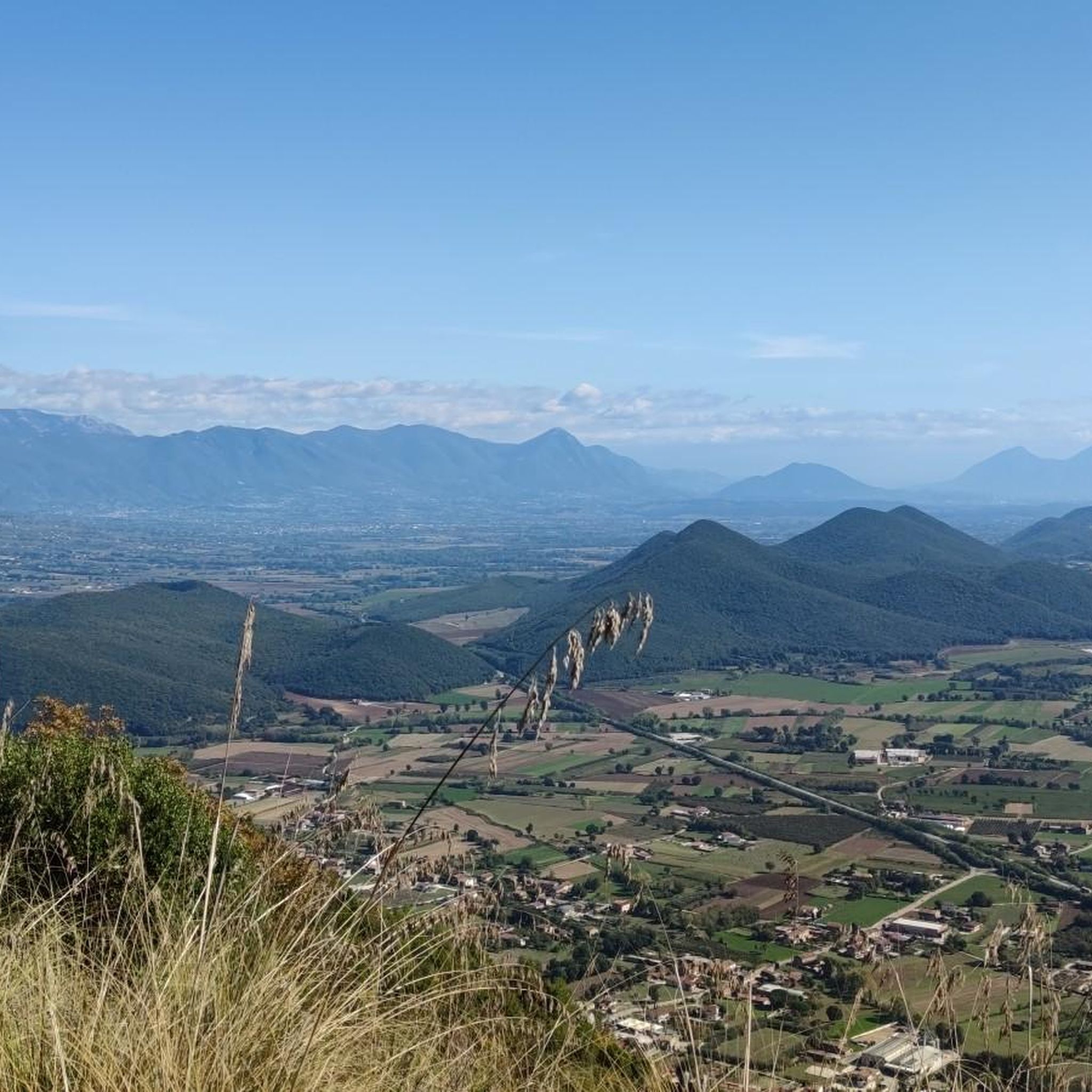
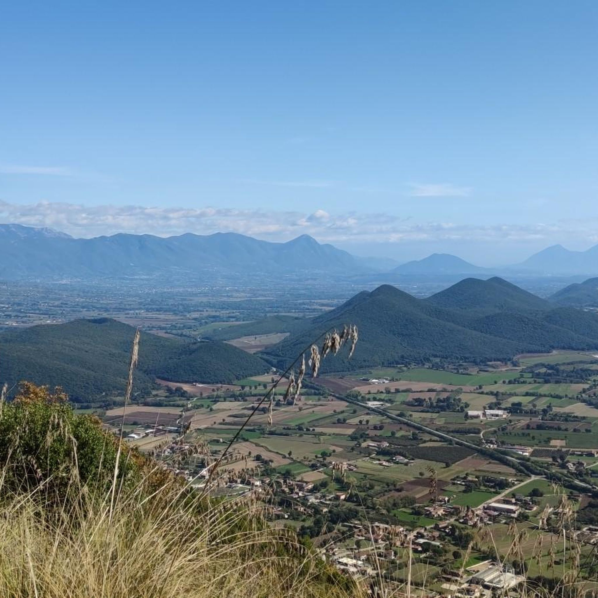
Mount Friento has breathtaking views of the Trebulani mountains and with its 770 meters it dominates the Volturno plain.
0
0

Mount Friento which with its 770 meters dominates the Volturno plain and offers excellent views of the Trebulani mountains.
1
0
An ancient castle located on top of a hill in a panoramic position. Unfortunately at the moment it is in a state of neglect despite being well preserved.
0
0

Piedimonte Matese is the starting point for many excursions. The Campania section of the Sentiero Italia also passes through here. This city offers all the primary services needed on a long-distance journey.
1
0
Frequently Asked Questions
How many hiking trails are available around Baia E Latina?
There are over 30 hiking routes in the Baia E Latina area, offering a diverse range of experiences. You'll find options for all skill levels, including 10 easy, 17 moderate, and 4 difficult trails.
Are there any easy, beginner-friendly hiking paths in Baia E Latina?
Yes, Baia E Latina offers several easy trails perfect for beginners. These routes typically traverse gentler terrain, often through agricultural lands or along the lower slopes of the hills. You can find 10 easy routes in the area.
What are some challenging day hikes in the Baia E Latina region?
For those seeking a challenge, Baia E Latina has 4 difficult routes with significant elevation gain. A notable option is the From Vairano Patenora to Monte Caievola and Pietravairano – ring tour, which covers nearly 10 miles (16 km) and includes substantial ascents around Monte Caievola. Another challenging option is the Castello di Alife loop from Parco, an 18.3-mile (29.5 km) route.
Are there any circular walks available in Baia E Latina?
Yes, many routes in the region are designed as circular walks, allowing you to start and end at the same point. An example is the Raviscanina and Torre du Rupecanina – loop tour in the Parco Regionale del Matese, which offers a scenic loop through the regional park.
What kind of panoramic views can I expect on hikes in Baia E Latina?
Hiking trails in Baia E Latina often lead to elevated areas like Monte Friento and Monte Caievola, providing expansive panoramic views. You can expect to see rolling hills, agricultural landscapes, and glimpses of the surrounding countryside, including parts of the Parco Regionale del Matese. The Fontana Lazzaro to Monte Friento Trail is known for its views.
What interesting landmarks or places can I explore near the hiking trails?
The Baia E Latina area is rich in historical and cultural points of interest. You can explore the town of Piedimonte Matese, visit the impressive Aragonese Castle of Vairano Patenora, or see the ancient Porta Romana of Alife. Many trails pass close to these historical sites, offering a blend of nature and culture.
What do other hikers enjoy most about hiking in Baia E Latina?
The hiking routes in Baia E Latina are highly rated by the komoot community, with an average score of 4.1 stars from over 30 reviews. Hikers often praise the varied terrain, from rolling hills to forested slopes, and the opportunities for panoramic views. The proximity to the Parco Regionale del Matese is also a highlight for many.
Is Baia E Latina suitable for winter hikes?
While the region generally experiences mild winters compared to more mountainous areas, trails can become muddy or slippery after rain. Higher elevations, especially closer to the Matese mountains, might see occasional snow. It's always advisable to check local weather conditions and trail reports before heading out for a winter hike and to wear appropriate waterproof footwear.
What is the best time of year for hiking in Baia E Latina?
The spring (April-June) and autumn (September-October) months are generally considered the best for hiking in Baia E Latina. During these periods, the weather is typically pleasant with comfortable temperatures, and the landscape is vibrant with spring blooms or autumn colors. Summers can be hot, making early morning or late afternoon hikes more enjoyable.
Are there any cafes or places to eat near the hiking trails in Baia E Latina?
While specific cafes directly on every trail might be limited, many routes pass through or near small towns and villages in the Caserta province. These settlements, such as Piedimonte Matese or Vairano Patenora, often offer local eateries, trattorias, or cafes where you can refuel after your hike. It's a good idea to plan your route to include a stop in one of these villages.
Is public transport accessible for reaching hiking trails in Baia E Latina?
Public transport options in the Baia E Latina area are generally focused on connecting the main towns. While some villages that serve as trailheads might be reachable by local bus services, direct access to all hiking starting points via public transport can be limited. It's recommended to check local bus schedules in advance or consider driving to trailheads for more flexibility.
Where can I find parking for hiking trails in Baia E Latina?
Parking availability varies by trailhead. In smaller villages or near popular starting points, you can often find designated parking areas or roadside parking. For routes that begin in more remote areas, parking might be less formal. It's advisable to check the specific route details on komoot, as users often provide tips on parking in the tour descriptions or comments.
Most popular attractions around Baia E Latina

Get inspired with the komoot mobile app


Explore more
Browse the best Hikes in other regions.
