The best walks and hikes around Zagarolo
4.3
(912)
3,383
hikers
147
hikes
Hiking around Zagarolo offers a variety of routes through the Lazio region's varied terrain. The area is characterized by rolling hills, agricultural landscapes, and views across valleys like the Lepini. Trails often connect historic towns and natural features, providing diverse hiking experiences. The network includes paths suitable for different fitness levels, from gentle walks to more challenging ascents.
Best hiking trails around Zagarolo
- The most popular hiking route is Acea Water Refill Station – View of Lepini Valley loop from…
Last updated: July 9, 2026
4.5
(21)
71
hikers
7.81km
02:49
300m
300m
Moderate hike. Good fitness required. Mostly accessible paths. Sure-footedness required.
4.1
(21)
34
hikers
Moderate hike. Good fitness required. Easily-accessible paths. Suitable for all skill levels.

Sign up for free
4.6
(5)
19
hikers
Moderate hike. Good fitness required. Easily-accessible paths. Suitable for all skill levels.
3.8
(4)
18
hikers
5.88km
02:00
270m
270m
Moderate hike. Great for any fitness level. Mostly accessible paths. Sure-footedness required.
5.0
(2)
8
hikers
10.8km
04:07
550m
550m
Moderate hike. Good fitness required. Mostly accessible paths. Sure-footedness required.
Get access to more routes and recommendations from other explorers.
Sign up for free
Already have an account?
Our route recommendations are based on thousands of hikes, rides, and runs completed by other people on komoot.
Start today with a free account
Your next adventure awaits.
Login or Signup

Tips from the Community


The "Oak of Pierluigi da Palestrina" is a monumental downy oak located in the Cannuccete Valley, in the Prenestini Mountains, not far from Palestrina. This centuries-old tree, over 20 meters tall and with a circumference of over six meters, is considered one of the oldest and most impressive trees in Lazio. It is estimated to be between 500 and 700 years old. According to local tradition, the famous musician Giovanni Pierluigi da Palestrina loved to go to the foot of this oak tree to find inspiration and moments of reflection. Legend has it that the composer meditated and perhaps composed some of his works in the shade of this tree, although these details are not confirmed by historical sources.
0
0
The Madonna della Tivora (or Madonna of the Snow) usually refers to the venerated image of the Madonna present in the small sanctuary, also known as the Madonna della Neve, located in the Rocca Priora area, near Colle di Fuori, in the Castelli Romani region. Rocca Priora has supplied Rome with snow and ice since imperial times, and the population prayed to the Madonna for good snowfall, essential to the local economy. The August festival in honor of the Madonna is still deeply felt today, culminating in a nighttime procession and a suggestive artificial snowfall.
1
0

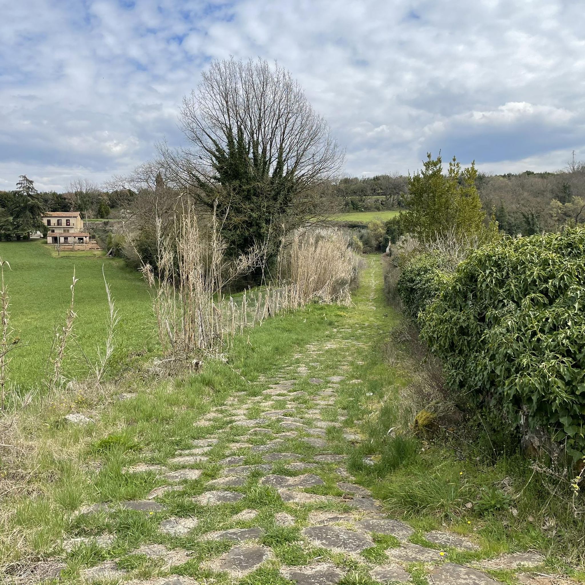
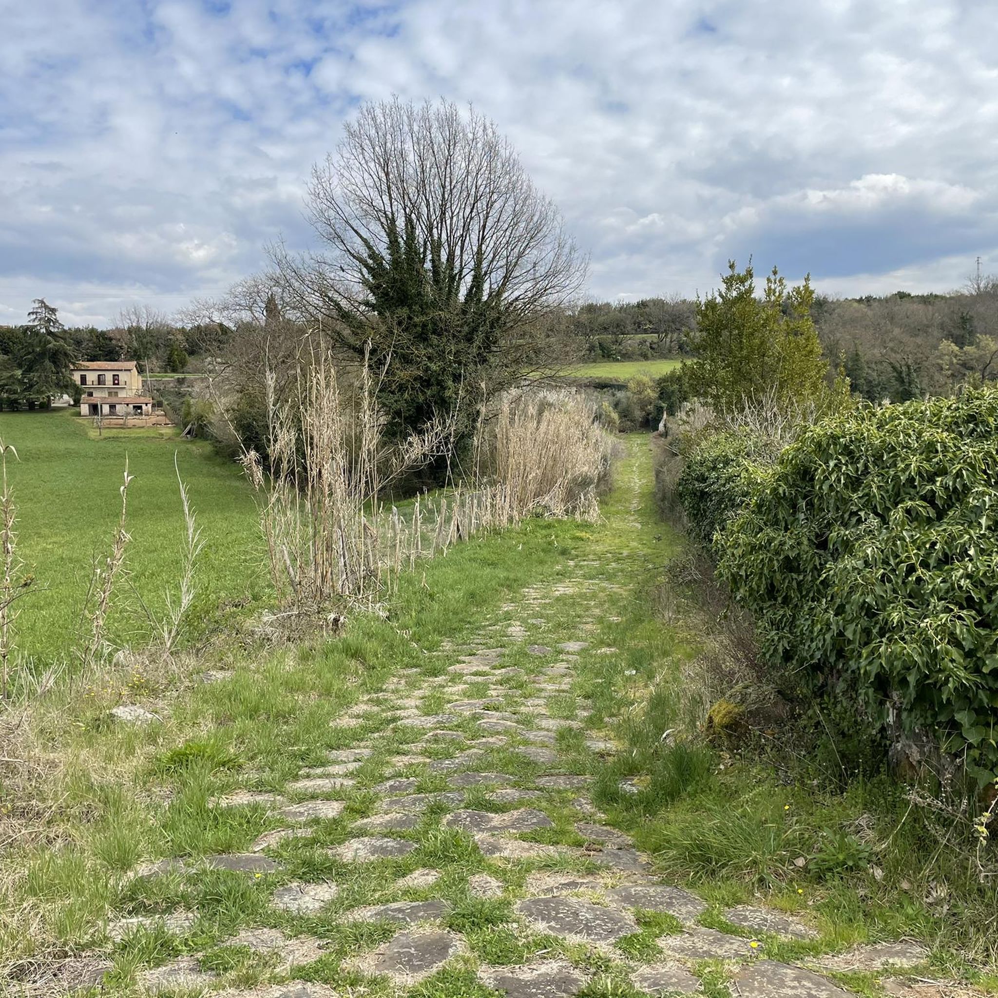
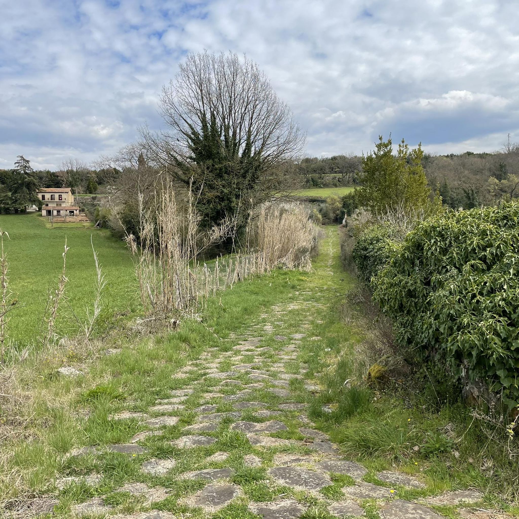
Walk among the remains of Roman aqueducts
0
0

The Rocca dei Colonna was erected on the highest point of the acropolis in 970 AD. The initial building had a square plan with corner towers also with a square base, and housed a cylindrical tower used as a prison. Some famous people were imprisoned there, including San Berardo, bishop of the Marsi, Jacopone da Todi and Corradino di Svevia. Over the centuries, the fortress was destroyed several times; in 1482, the fortress was renovated and the event is remembered by the inscription on the turret of the small bridge "magnificus dominus Stephanus Columna readificavit civitatem cum monte et arte MCDLXXXII".
0
0

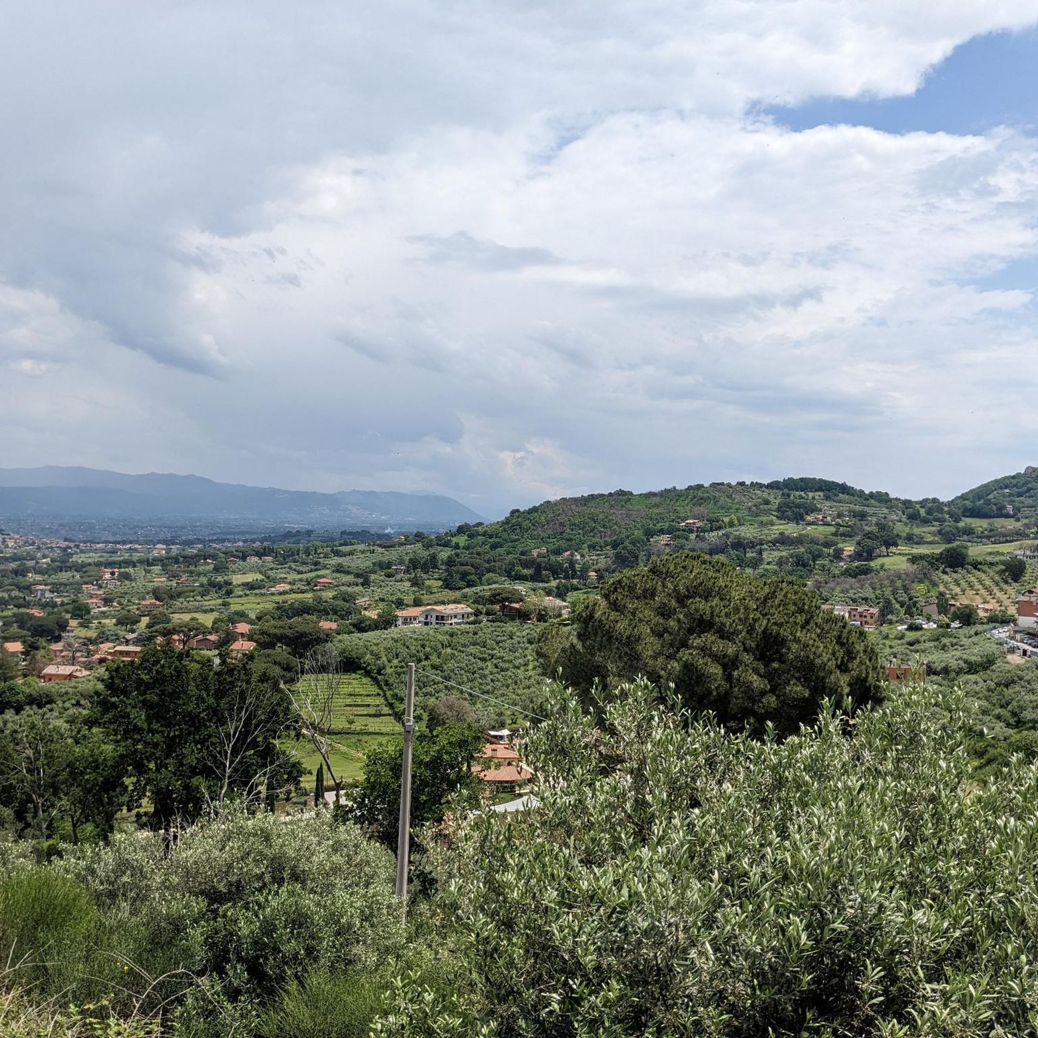
After crossing the ‘Via della Zingarella’, the old communal road that connected the village with the spring area, and an area of scrubland, you arrive at a plain. This is a good place to rest after the climb and to admire the view. Towards the west, on the left the view of Monte Guadagnolo
0
0
You can hike down off the path to see the bridge and infrastructure from below. The aqueduct bridge allows you to cross the aqueduct but is also a connection point between the Folignano ditch and Fosso delle Forme.
0
0
Frequently Asked Questions
How many hiking trails are available around Zagarolo?
There are over 130 hiking routes in the Zagarolo area, offering a wide range of options for different skill levels and preferences. This includes 45 easy, 78 moderate, and 8 difficult trails.
Are there easy or beginner-friendly hiking routes in Zagarolo?
Yes, Zagarolo offers 45 easy hiking routes suitable for beginners or those looking for a relaxed walk. These trails typically feature gentle terrain through rolling hills and agricultural landscapes.
What kind of terrain can I expect on hikes around Zagarolo?
The terrain around Zagarolo is characterized by rolling hills, agricultural landscapes, and scenic valleys. Trails often connect historic towns and natural features, providing diverse experiences from gentle paths to more challenging ascents.
Are there any circular or loop trails in the Zagarolo area?
Many of the trails around Zagarolo are circular routes, allowing you to start and end in the same location. An example is the moderate Acea Water Refill Station – View of Lepini Valley loop from Palestrina, which offers panoramic views.
What can I see along the hiking trails around Zagarolo?
Hikers can explore a variety of sights, including historic towns, natural features, and panoramic views. Nearby attractions include impressive castles like Brancaccio Castle in San Gregorio da Sassola and historical sites such as the Ruins of Tusculum.
Are there family-friendly hiking options in Zagarolo?
Yes, many of the easy and moderate trails are suitable for families. These routes often pass through pleasant landscapes and offer opportunities for picnics. Look for shorter, less strenuous paths that explore the local countryside.
Can I bring my dog on the hiking trails in Zagarolo?
Many trails in the Zagarolo region are dog-friendly, especially those through open countryside and less populated areas. It's always advisable to keep dogs on a leash, especially near agricultural land or wildlife, and to check local regulations for specific routes.
What is the best time of year to hike in Zagarolo?
Spring and autumn are generally the best times for hiking in Zagarolo. The weather is mild, and the landscapes are vibrant with blooming flowers or rich autumn colors. Summer can be hot, so early morning or late afternoon hikes are recommended, while winter offers cooler, often quieter, conditions.
Are there any trails that pass by cafes or picnic spots?
Some routes, particularly those near towns or through popular recreational areas, may have cafes or designated picnic spots. For example, the Picnic Area with Fountain – Madonna della Tegola Shrine loop from Rocca Priora specifically highlights a picnic area with a fountain.
What do other hikers enjoy most about hiking in Zagarolo?
The komoot community highly rates the hiking experience in Zagarolo, with an average score of 4.4 stars from over 700 reviews. Hikers often praise the diverse landscapes, the blend of natural beauty with historical elements, and the variety of routes suitable for all abilities.
Are there any challenging or difficult hikes in Zagarolo?
For experienced hikers seeking a challenge, there are 8 difficult routes available. One such demanding trail is the Trail Signpost – Piazza Pietro Baccelli loop from Palestrina, which covers 18 km with significant elevation changes.
Where can I find parking for hiking trails in Zagarolo?
Parking is generally available near trailheads, especially in or around the towns and villages that serve as starting points for many routes. It's recommended to check specific route details for information on designated parking areas.
Most popular attractions around Zagarolo

Get inspired with the komoot mobile app


Explore more
Browse the best Hikes in other regions.
