The best walks and hikes around Ateleta
4.4
(308)
1,826
hikers
109
hikes
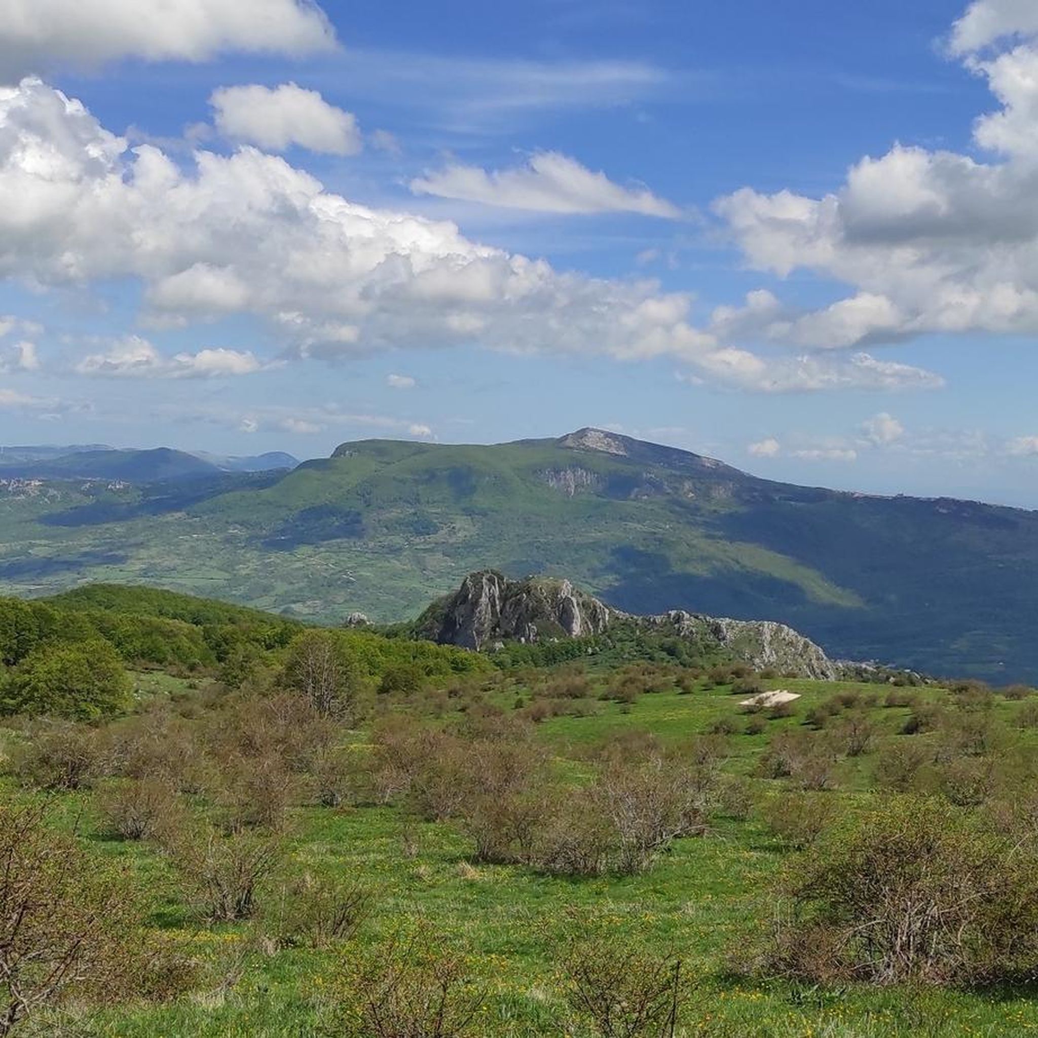
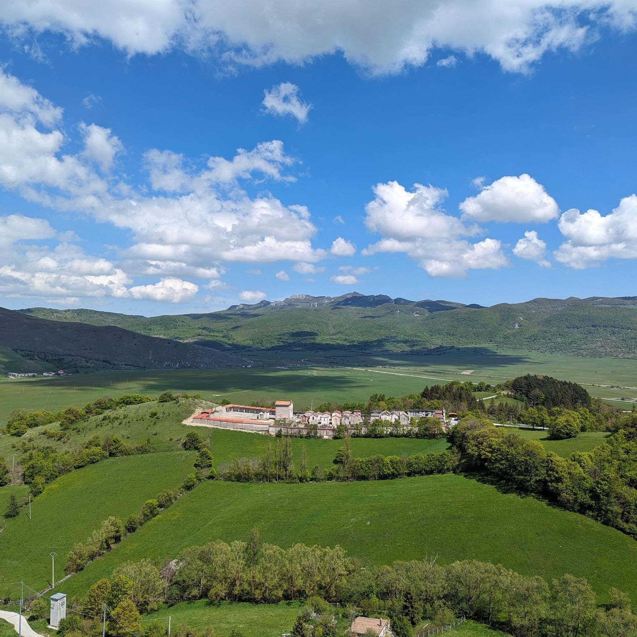
Hiking around Ateleta offers access to diverse landscapes within the Abruzzo region of Italy. The area is characterized by wooded peaks, lush forests, and green valleys, situated at the foot of Mount Secine. Ateleta is an integral part of the Majella National Park, which preserves its natural environment and biodiversity. Notable features include the ancient Bosco di Sant'Antonio, a 550-hectare beech forest, and the Cervid Wildlife Area.
Best hiking trails around Ateleta
- The most popular hiking route is View of…
Last updated: July 5, 2026
3.5
(4)
24
hikers
9.49km
02:59
380m
380m
Moderate hike. Good fitness required. Easily-accessible paths. Suitable for all skill levels.
4.9
(8)
33
hikers
9.23km
02:52
350m
350m
Moderate hike. Good fitness required. Easily-accessible paths. Suitable for all skill levels.

Sign up for free
4.0
(4)
16
hikers
8.29km
02:49
440m
440m
Moderate hike. Good fitness required. Easily-accessible paths. Suitable for all skill levels.
5.0
(2)
6
hikers
Moderate hike. Good fitness required. Easily-accessible paths. Suitable for all skill levels.
5
hikers
11.6km
03:57
600m
600m
Moderate hike. Good fitness required. Easily-accessible paths. Suitable for all skill levels.
Get access to more routes and recommendations from other explorers.
Sign up for free
Already have an account?
Our route recommendations are based on thousands of hikes, rides, and runs completed by other people on komoot.
Start today with a free account
Your next adventure awaits.
Login or Signup
Tips from the Community

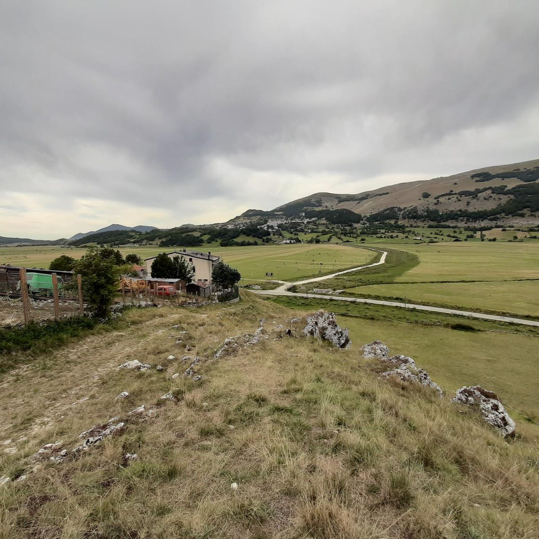
The Deer Wildlife Area is a magical place in the Majella National Park. Despite its name, it's possible to spot deer, but it's a bit rare.
0
0
The Piatra Cernaia makes a fantastic tour for those who want to explore a lesser known part of the Majella National Park, either by bike or on foot.
0
0

Pietra Cernaia is located at 1785m immersed in the fabulous scenery of the Maiella Park.
0
0

Here is the "Monte Secine" regional state forest, managed by the Castel di Sangro Regional State Forestry Office. Walking in this forest it is possible to come across beech and Turkey oaks.
1
0
Frequently Asked Questions
How many hiking trails are available around Ateleta?
Ateleta offers a wide selection of hiking opportunities, with over 90 routes available. These trails cater to various skill levels, including 30 easy, 43 moderate, and 20 difficult options, ensuring there's something for every hiker.
What kind of landscapes can I expect to see while hiking in Ateleta?
Hiking around Ateleta immerses you in the diverse landscapes of the Abruzzo region. You'll encounter wooded peaks, lush forests, and green valleys, all set against the backdrop of Mount Secine. The area is part of the Majella National Park, known for its rich biodiversity and preserved natural environment.
Are there any family-friendly hiking options in Ateleta?
Yes, Ateleta offers several easy trails suitable for families. While specific family-focused routes aren't detailed, the presence of 30 easy routes suggests options for less strenuous walks. The Bosco di Sant'Antonio, with its ancient forest paths, could be a pleasant area for a family stroll.
Can I bring my dog on the hiking trails in Ateleta?
Many trails within the Majella National Park, where Ateleta is located, are generally dog-friendly, though it's always best to keep dogs on a leash, especially in wildlife areas. The diverse terrain offers plenty of opportunities for you and your canine companion to explore the natural beauty.
What are some notable natural features or landmarks to look out for?
Ateleta is rich in natural beauty. You can explore the ancient Bosco di Sant'Antonio, a 550-hectare beech forest, or try to spot deer in the Cervid Wildlife Area. Other points of interest include the Mount Porrara and the Panoramic Ridge of Monte Porrara, offering stunning views.
Are there any circular hiking routes available?
Yes, there are several circular routes. For example, the moderate View of Pietransieri – Rifugio Posta Grossa loop from Pietransieri is a popular choice, covering 9.9 km. Another option is the Cervid Wildlife Area – Pietra Cernaia loop from Area Faunistica del Cervo, which is 9.5 km and also moderate.
What is the best time of year to go hiking in Ateleta?
Ateleta offers hiking opportunities throughout the year. Spring and autumn provide pleasant temperatures and vibrant scenery, ideal for most trails. In winter, the Bosco di Sant'Antonio transforms into a cross-country skiing destination, offering a different kind of outdoor experience.
Are there any challenging hikes for experienced trekkers?
Absolutely. For experienced hikers seeking a challenge, there are 20 difficult routes. A notable option is the Pietra Cernaia – View of Pietransieri loop from Pietransieri, a 16.4 km trail through mountainous terrain that typically takes over 5 hours to complete.
What do other hikers say about the trails in Ateleta?
The hiking trails in Ateleta are highly regarded by the komoot community, with an average rating of 4.6 stars from over 260 reviews. Hikers often praise the diverse terrain, the beauty of the Majella National Park, and the well-marked paths that lead through ancient forests and offer stunning views.
Are there places to rest or eat along the trails?
Yes, many trails in the Ateleta area lead to cozy refuges where hikers can take a break, enjoy local cuisine, and even spend the night amidst the tranquility of the mountains. The View of Pietransieri – Rifugio Posta Grossa loop, for instance, passes by Rifugio Posta Grossa.
Can I spot any wildlife while hiking in Ateleta?
Yes, the Ateleta area, particularly within the Majella National Park, is known for its wildlife. The Cervid Wildlife Area is a special place where you might occasionally spot deer. The diverse forests also host various bird species and other local fauna.
What is the longest moderate hike I can do?
Among the moderate options, the Pietra Cernaia loop from Masseria Cerasella is a good choice, covering 8.3 km and typically taking around 2 hours and 49 minutes to complete, offering varied terrain and scenic views.
Most popular attractions around Ateleta

Get inspired with the komoot mobile app


Explore more
Browse the best Hikes in other regions.
