The best walks and hikes around Lecce Nei Marsi
4.5
(479)
1,902
hikers
106
hikes
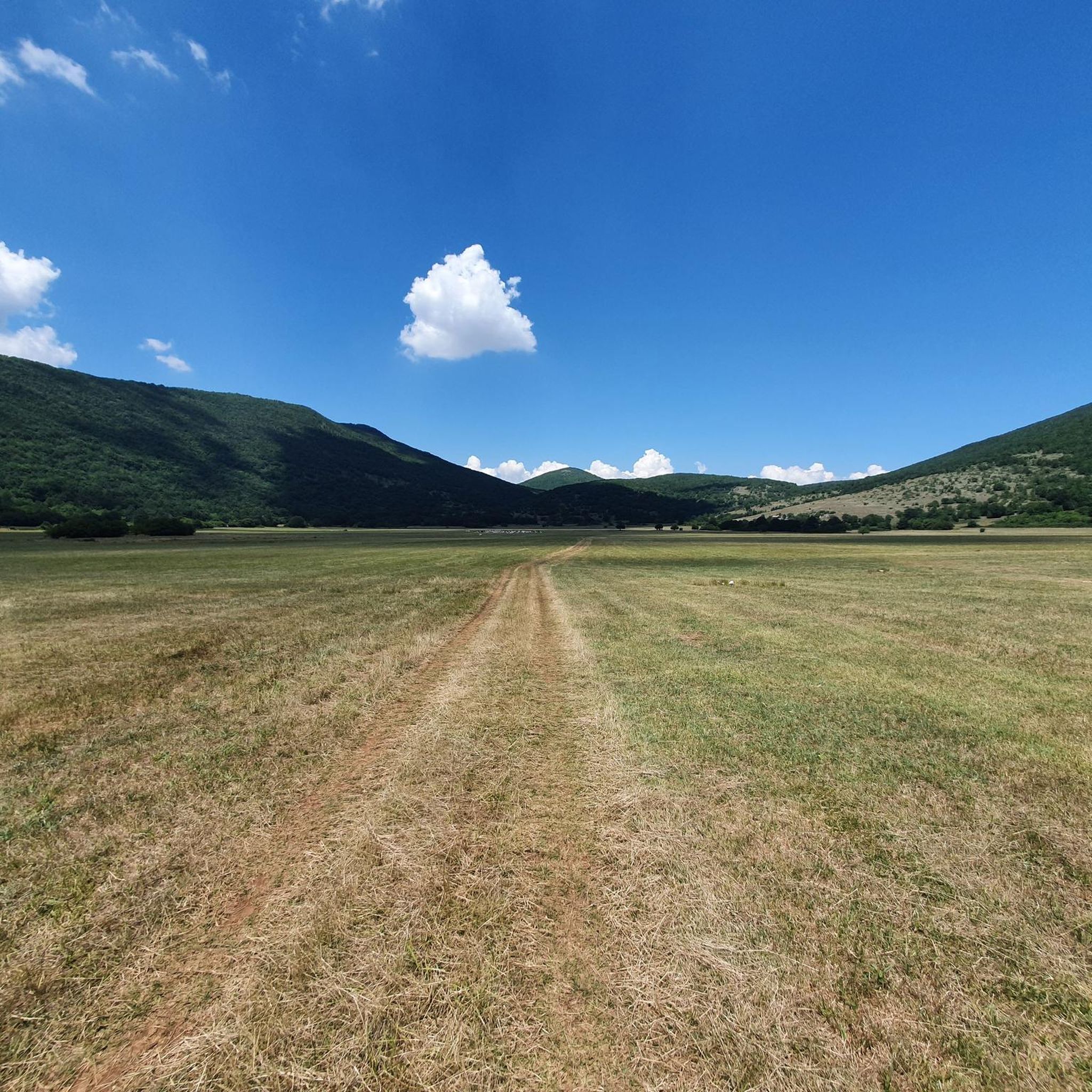
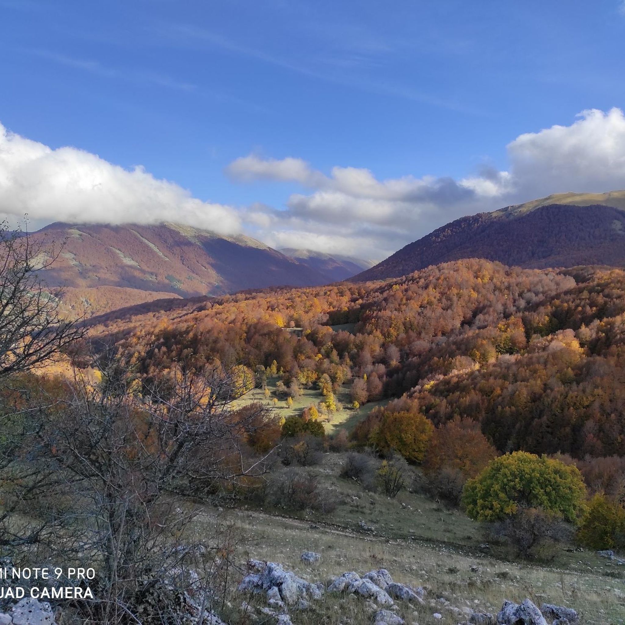
Hiking around Lecce Nei Marsi reveals a landscape characterized by the central Apennine mountains. The region features diverse terrain, including dense forests, high-altitude pastures, and rocky peaks. Elevation changes are common, offering varied experiences for hikers. This area provides numerous opportunities for exploring the natural environment on foot.
Best hiking trails around Lecce Nei Marsi
- The most popular hiking route is Rifugio Coppo dell'Orso – Monte Cornacchia loop from Madonna della Lanna, a 9.7 miles (15.6 km) trail that takes 6 hours 23 minutes to complete. This difficult route features significant elevation gain and mountain views.
- Another top favourite among local hikers is Monte Marcolano loop from Passo del Diavolo, a moderate 9.4 miles (15.2 km) path. This trail offers varied terrain through mountain landscapes.
- Local hikers also love the Iorio Hut – Monte Ceraso Summit (1,820 m) loop from Fontana Aceretta, a 6.6 miles (10.6 km) trail leading through mountain forests and towards a summit, often completed in about 4 hours 11 minutes.
- Hiking around Lecce Nei Marsi is defined by mountainous terrain, dense forests, and high-altitude pastures. The network of hiking trails around Lecce Nei Marsi offers options for easy, moderate, and challenging hikes.
- The routes in Lecce Nei Marsi are highly rated by the komoot community with an average score of 4.6 stars from over 400 reviews. More than 1,700 hikers have used komoot to explore Lecce Nei Marsi's varied terrain.
Last updated: October 8, 2026
4.8
(13)
57
hikers
15.2km
04:37
510m
510m
Moderate hike. Good fitness required. Easily-accessible paths. Suitable for all skill levels.
5.0
(5)
25
hikers
17.2km
05:40
590m
590m
Hard hike. Very good fitness required. Sure-footedness, sturdy shoes and alpine experience required.

5.0
(2)
22
hikers
15.3km
05:02
660m
660m
Hard hike. Very good fitness required. Easily-accessible paths. Suitable for all skill levels.
4.7
(3)
7
hikers
13.2km
04:29
630m
630m
Moderate hike. Good fitness required. Easily-accessible paths. Suitable for all skill levels.
4.8
(4)
13
hikers
13.5km
03:47
270m
270m
Moderate hike. Good fitness required. Easily-accessible paths. Suitable for all skill levels.
Get access to more routes and recommendations from other explorers.
Already have an account?
Our route recommendations are based on thousands of hikes, rides, and runs completed by other people on komoot.
Start today with a free account
Your next adventure awaits.
Tips from the Community


This peak is located in the park's integral reserve area and cannot be reached.
0
0

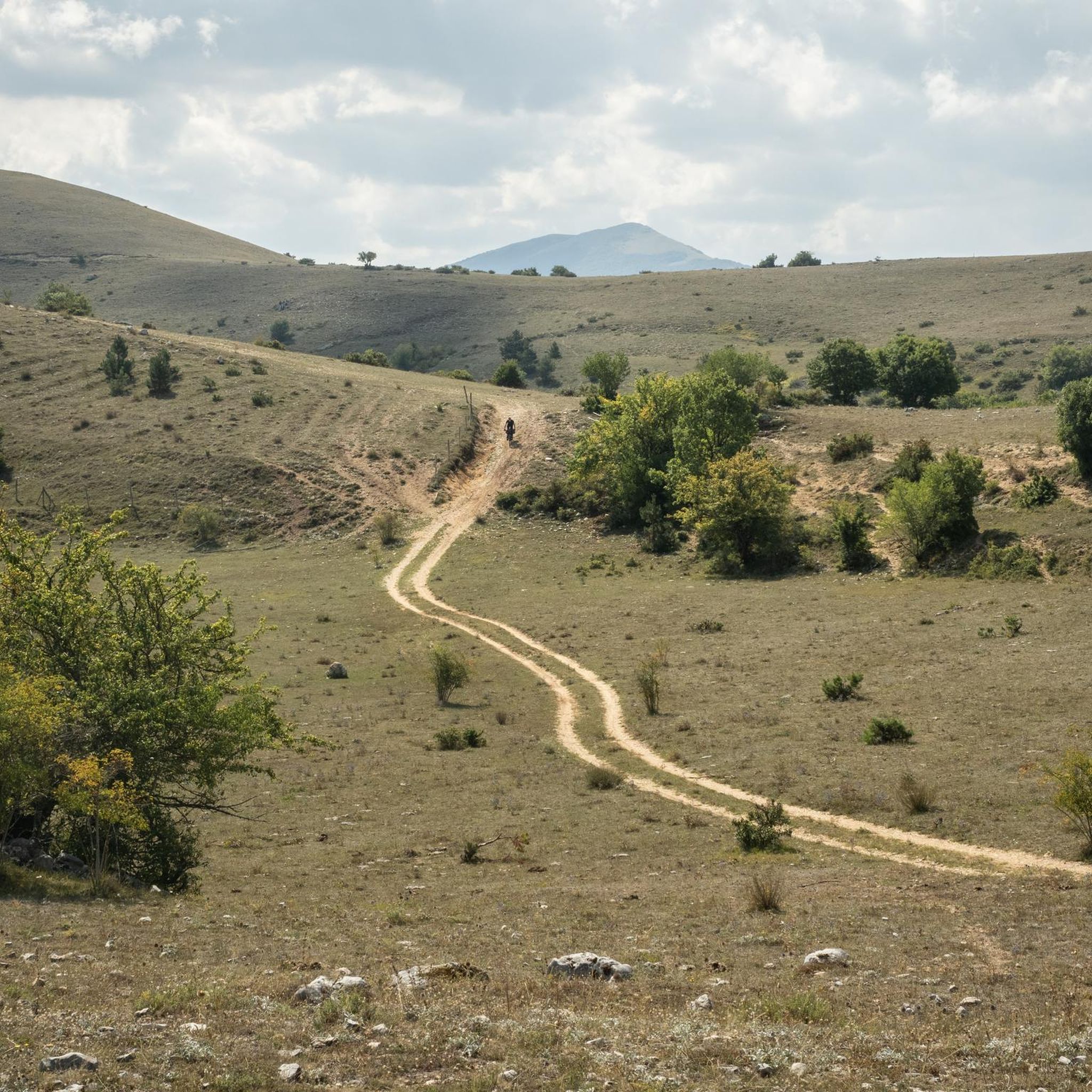
Great MTB trail to try
0
0


a nice place to eat and if you want you can also sleep by booking of course
0
0

"The Cicerana Refuge is located at 1560 m above sea level, in the territory of the municipality of Lecce nei Marsi"
0
0

For more info: https://www.ecotur.org/it/ecorifugio_cicerana.xhtml
1
0
Frequently Asked Questions
How many hiking trails are available around Lecce Nei Marsi?
There are over 90 hiking trails in the Lecce Nei Marsi area, offering a wide range of options for different skill levels and preferences.
What kind of terrain can I expect on hikes in Lecce Nei Marsi?
The region is characterized by the central Apennine mountains, so you can expect diverse terrain including dense forests, high-altitude pastures, and rocky peaks. Elevation changes are common, providing varied experiences.
Are there easy hiking trails suitable for beginners or casual walkers?
Yes, there are 15 easy trails around Lecce Nei Marsi. These routes typically feature less elevation gain and shorter distances, perfect for a relaxed outdoor experience.
Can I find challenging hikes for experienced hikers in the area?
Absolutely. For experienced hikers seeking a challenge, there are 21 difficult trails. An example is the Rifugio Coppo dell'Orso – Monte Cornacchia loop from Madonna della Lanna, which covers 9.7 miles (15.6 km) with significant elevation gain.
Are there circular hiking routes around Lecce Nei Marsi?
Many of the trails in Lecce Nei Marsi are designed as loops, allowing you to start and end at the same point. For instance, the Monte Marcolano loop from Passo del Diavolo is a popular moderate circular path.
What do other hikers enjoy most about hiking in Lecce Nei Marsi?
The area is highly rated by the komoot community, with an average score of 4.6 stars from over 400 reviews. Hikers often praise the varied mountainous terrain, the beauty of the dense forests, and the rewarding views from high-altitude pastures.
Are there any hikes that lead to viewpoints or summits?
Yes, many trails offer excellent viewpoints and lead to summits. The Iorio Hut – Monte Ceraso Summit (1,820 m) loop from Fontana Aceretta is a great example, leading through mountain forests towards a prominent summit with panoramic views.
Is it possible to access hiking trails using public transport?
While Lecce Nei Marsi is primarily accessed by car, some local bus services connect the town to nearby villages. However, direct public transport access to specific trailheads can be limited, so planning ahead is recommended.
Where can I park my car when hiking in Lecce Nei Marsi?
Parking is generally available near popular trailheads and in the town of Lecce Nei Marsi. Specific parking information is often detailed on individual route pages on komoot, such as for the starting points like Madonna della Lanna or Passo del Diavolo.
Are the hiking trails around Lecce Nei Marsi suitable for families with children?
Yes, with 15 easy trails available, there are options suitable for families. These routes are typically shorter and have less demanding elevation changes, making them enjoyable for children. Always check the specific trail details for suitability.
Can I hike with my dog on the trails in Lecce Nei Marsi?
Many trails in the Lecce Nei Marsi area are dog-friendly, especially those outside of protected wildlife zones where specific restrictions might apply. It's always best to keep your dog on a leash and check local regulations for each specific trail you plan to hike.
What is the best time of year to go hiking in Lecce Nei Marsi?
Spring and autumn generally offer the most pleasant hiking conditions with mild temperatures and vibrant scenery. Summer can be warm, especially at lower elevations, while winter brings snow to higher peaks, offering opportunities for snowshoeing or more challenging winter hikes.
Are there any longer, multi-day hiking options in the region?
While most listed routes are day hikes, the extensive network of trails in the Apennines around Lecce Nei Marsi allows for combining routes or planning longer excursions. You can explore options like the Macchia Petrosa – Monte Marcolano loop from Passo del Diavolo for a longer day out, or link multiple trails for an extended adventure.
Most popular attractions around Lecce Nei Marsi

Get inspired with the komoot mobile app


Explore more
Browse the best Hikes in other regions.
