The best road cycling routes around Rocca Pia
4.5
(71)
1,622
riders
38
rides
Road cycling routes around Rocca Pia traverse a landscape characterized by mountainous terrain, including sections of the Majella National Park, and scenic valleys. The region features significant elevation changes, with routes often climbing through forested areas and past historical sites. Road cyclists can expect a mix of challenging ascents and descents, with views of natural parks and lakes.
Best road cycling routes around Rocca Pia
- The most popular road cycling route is Cycling through the Majella from Roccaraso – Loop…
Last updated: October 9, 2026
4.6
(9)
137
riders
56.0km
02:58
940m
940m
Hard road ride. Very good fitness required. Some segments of this route may be unpaved and difficult to ride.
4.5
(11)
242
riders
93.7km
05:10
1,800m
1,800m
Hard road ride. Very good fitness required. Mostly well-paved surfaces and easy to ride.

4.7
(7)
168
riders
134km
07:05
2,470m
2,470m
Hard road ride. Very good fitness required. Some segments of this route may be unpaved and difficult to ride.
5.0
(1)
47
riders
79.8km
04:05
1,190m
1,190m
Hard road ride. Very good fitness required. Some segments of this route may be unpaved and difficult to ride.
5.0
(1)
49
riders
57.0km
02:58
1,020m
1,020m
Hard road ride. Very good fitness required. Mostly well-paved surfaces and easy to ride.
Get access to more routes and recommendations from other explorers.
Already have an account?
Our route recommendations are based on thousands of hikes, rides, and runs completed by other people on komoot.
Start today with a free account
Your next adventure awaits.
Tips from the Community

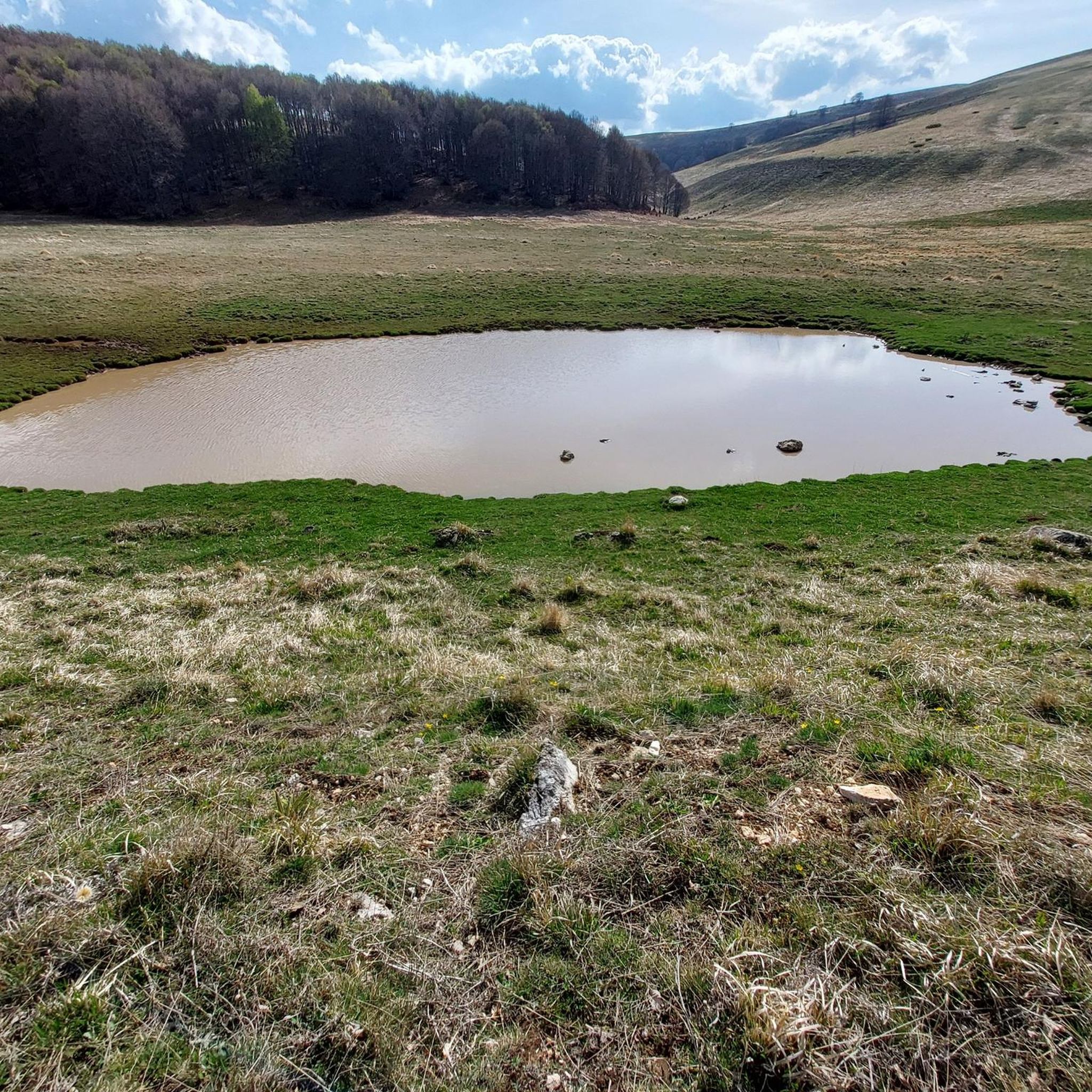
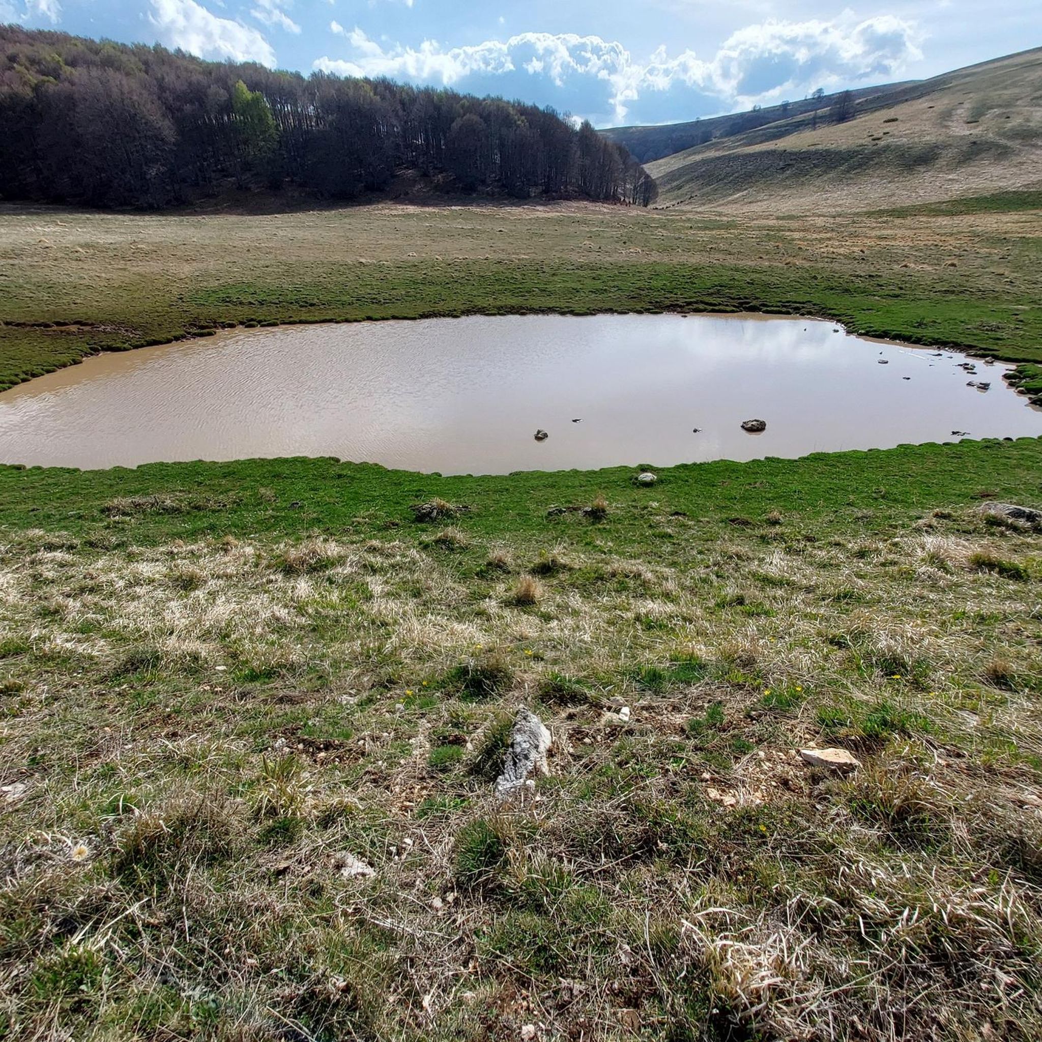
Beautiful climb from both sides. From the center of Villetta Barrea there are a couple of hairpin bends that climb quite a bit. Then the road climbs more gently, initially shaded and then treeless up to the clearing with the refuges and lifts. The actual pass is about 1.5km further on. From the Scanno side, however, once you leave the town, there are some hairpin bends that still climb quite gently, then the road settles on the mountainside offering a wonderful panorama of the valley. The climb is not hard to do by bicycle. From the refuges, various paths start, a simple and recommended one is the one that goes towards the Tasso springs.
0
0

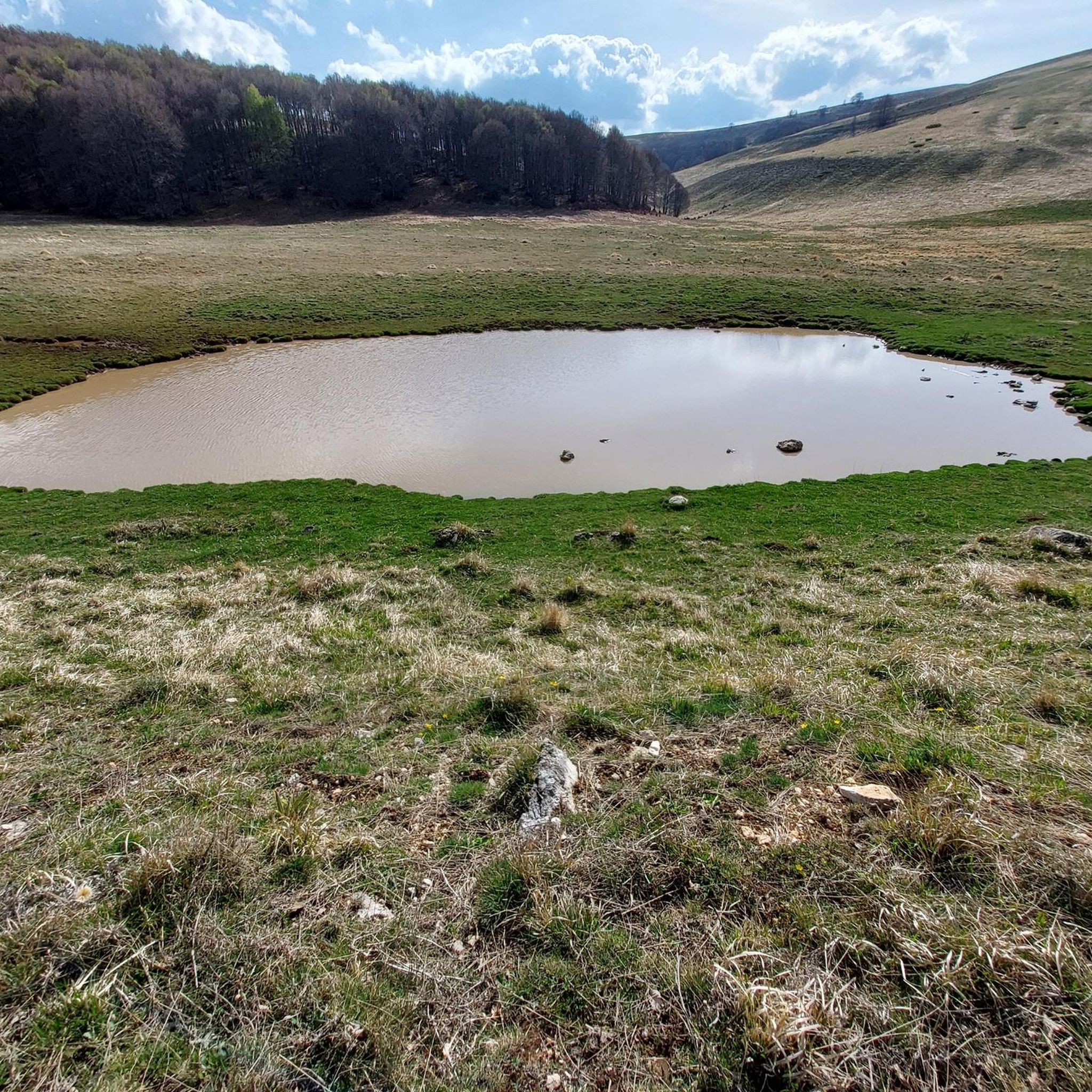
Lake San Domenico is a picturesque artificial basin created around 1920 with the construction of a dam on the Sagittario river, built for hydroelectric power generation. Located near the Hermitage of San Domenico, it strikes with the extraordinary color of its waters, which vary from emerald green to intense blue.
1
0

Yes, it is just arriving from Scanno passing through Passo Godi going towards Villetta Barrea
0
0

In reality it is not the Sagittario valley but the entrance to the Pnalm from Scanno to Passo Godi
0
0

Interesting, well-restored castle complex with worthwhile views from the tower of the entire old town of the medieval village of Pacentro and the beautiful surroundings.
0
0

Artificial lake in the municipality of Villalago, the San Domenico basin has as its main tributary the Sagittario river, which is also the waterway that emerges from the dam. Not far from this point stands the hermitage of San Domenico.
0
0


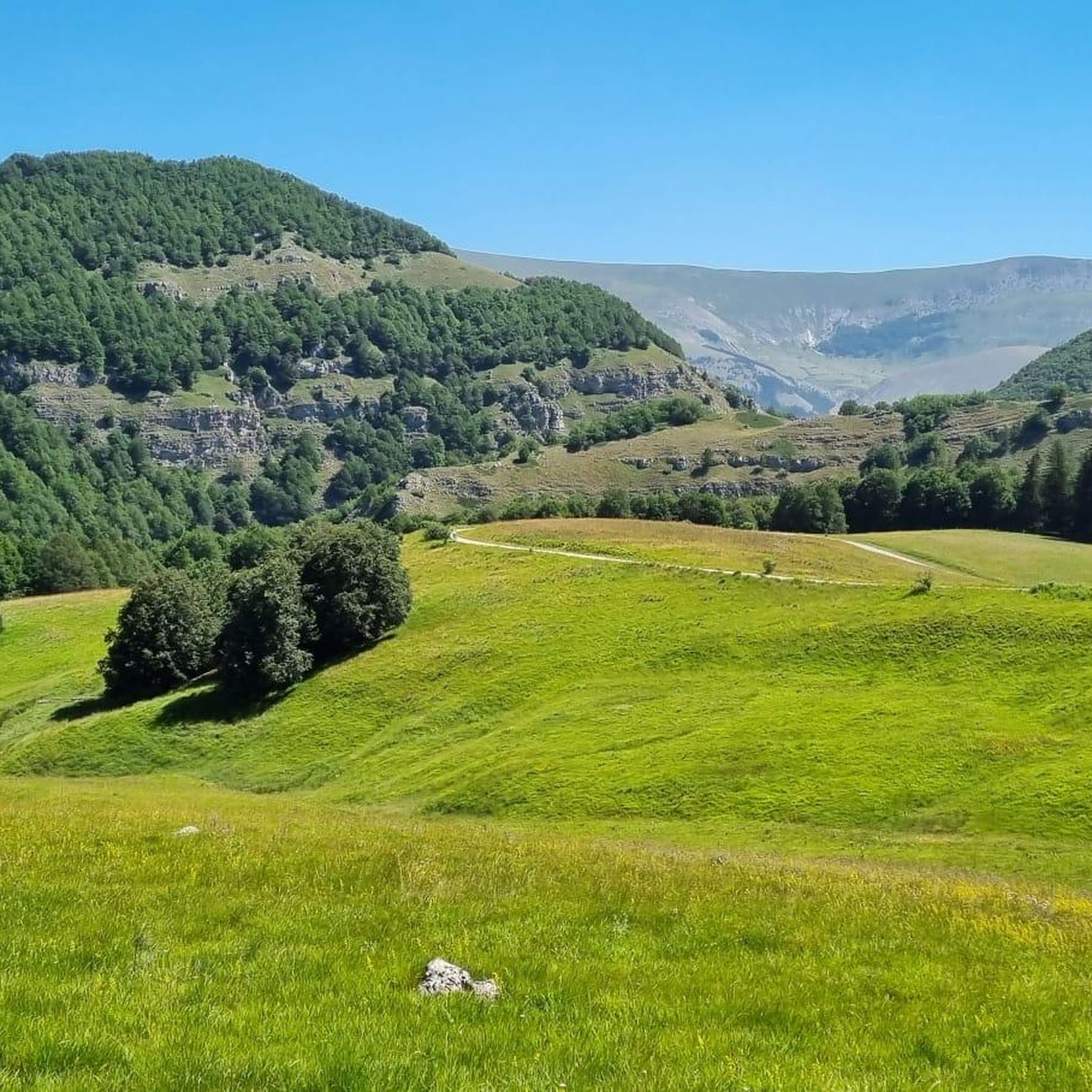
The road rises gently always in the shade and the view is a continuum of emotions.
0
0
Frequently Asked Questions
How many road cycling routes are available around Rocca Pia?
There are over 40 road cycling routes around Rocca Pia, offering a diverse range of experiences. These routes are highly rated by the komoot community, with an average score of 4.7 stars.
What is the typical difficulty level of road cycling routes in Rocca Pia?
The road cycling routes in Rocca Pia cater to various skill levels. You'll find 7 easy routes, 17 moderate routes, and 17 difficult routes, ensuring options for beginners to advanced cyclists.
Are there easy road cycling routes suitable for beginners in Rocca Pia?
Yes, Rocca Pia offers 7 easy road cycling routes perfect for beginners. These routes typically feature less elevation gain and shorter distances, allowing for a more relaxed ride through the scenic landscape.
What are some challenging road cycling routes for experienced riders in Rocca Pia?
For experienced riders seeking a challenge, Rocca Pia has 17 difficult road cycling routes. Routes like Pacentro Castle – Majella National Park loop from Roccaraso, which covers 58.2 miles with significant climbing, or the Lake San Domenico – Lake San Domenico loop from Cansano (83.3 miles), offer extensive elevation changes and stunning views through mountainous terrain.
What is the typical length of road cycling routes around Rocca Pia?
Road cycling routes around Rocca Pia vary significantly in length. You can find shorter routes, but many popular options range from approximately 30 miles to over 80 miles, such as the Cycling through the Majella from Roccaraso – Loop tour at 34.8 miles, or the longer Lake San Domenico – Lake San Domenico loop from Cansano at 83.3 miles.
What can I see along the road cycling routes in Rocca Pia?
Road cycling routes in Rocca Pia often traverse beautiful natural and historical sites. You can expect to pass through sections of the Majella National Park, see picturesque Lake Scanno, or encounter mountain passes like Passo Forchetta and Monte Godi Pass. The region is rich in natural monuments and scenic landscapes.
Are there any loop road bike routes around Rocca Pia?
Yes, many road cycling routes around Rocca Pia are designed as loops, offering a convenient way to explore the region without retracing your path. Examples include the popular Cycling through the Majella from Roccaraso – Loop tour and the Majella National Park – Passo Forchetta loop from Cansano.
What do other road cyclists enjoy the most about road cycling in Rocca Pia?
The komoot community highly rates road cycling in Rocca Pia, with an average score of 4.7 stars from over 40 reviews. Cyclists frequently praise the challenging ascents, the stunning views of the Majella National Park, and the serene experience of riding past scenic lakes and historical landmarks.
What kind of terrain can I expect on road cycling routes in Rocca Pia?
Road cycling routes around Rocca Pia are characterized by mountainous terrain with significant elevation changes. You'll encounter a mix of challenging ascents and descents, often through forested areas and past national park sections, providing a dynamic and rewarding cycling experience.
Where can I find parking for road cycling routes in Rocca Pia?
Specific parking details often depend on the starting point of individual routes. For detailed information on parking facilities, it's best to check the specific route page on komoot for the tour you plan to undertake, as many routes start from towns like Roccaraso or Cansano which offer parking options.
Are there any hidden gem road bike routes in Rocca Pia?
While many routes are well-known, exploring less-trafficked roads can reveal hidden gems. The region's extensive network of routes, including those passing through areas like Bosco di Sant'Antonio or near the Sagittario Gorges, often provides unique and quieter cycling experiences away from the main tourist paths.
Most popular attractions around Rocca Pia

Get inspired with the komoot mobile app


Explore more
Browse the best Road cycling routes in other regions.
