The best running trails around Pizzoferrato
52
runners
11
runs
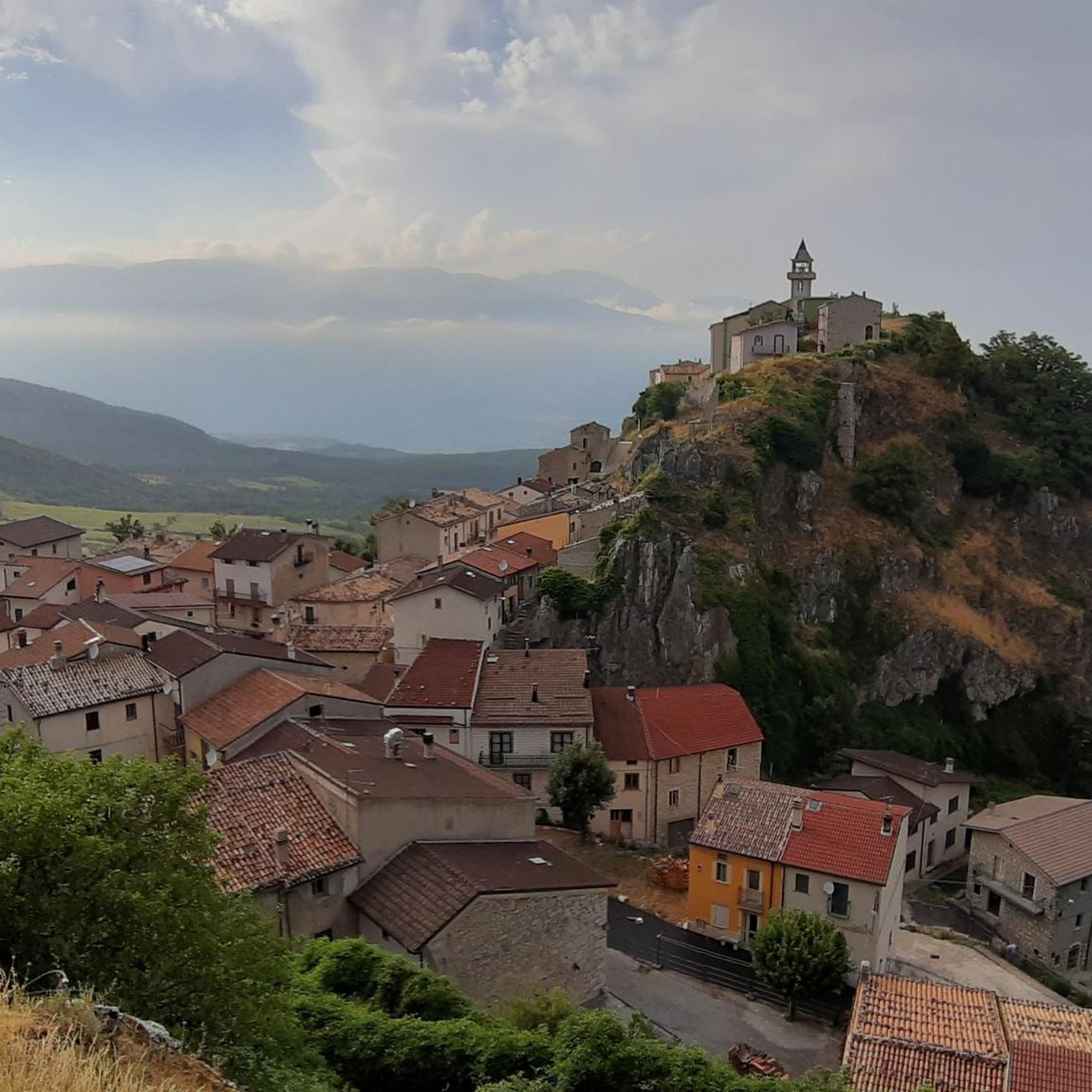
Jogging routes around Pizzoferrato are characterized by the mountainous terrain of the Abruzzo region, featuring significant elevation changes and panoramic views. The landscape includes a mix of forested areas and open mountain slopes, providing varied running surfaces. Many trails offer circular paths, often starting from historical or scenic points. The area is defined by its natural beauty, with routes leading to prominent peaks and through valleys.
Best jogging routes around Pizzoferrato
- The most popular jogging route is Ascent to CIME…
Last updated: July 5, 2026
3
runners
21.4km
03:53
1,270m
1,250m
Hard run. Very good fitness required. Sure-footedness, sturdy shoes and alpine experience required.
1
runners
9.37km
01:20
380m
380m
Jogging the Monte Campo and Monte Ciglione Loop is a difficult 5.8-mile route with 1253 feet of gain, offering panoramic views.

Sign up for free
1
runners
5.27km
00:53
370m
370m
This difficult 3.3-mile jogging route in Maiella National Park climbs 1228 feet to the Hermitage of Madonna dell'Altare.
17
runners
8.59km
00:59
220m
220m
Moderate run. Good fitness required. Mostly paved surfaces. Suitable for all skill levels.
10
runners
Hard run. Very good fitness required. Sure-footedness, sturdy shoes and alpine experience required.
Get access to more routes and recommendations from other explorers.
Sign up for free
Already have an account?
Our route recommendations are based on thousands of hikes, rides, and runs completed by other people on komoot.
Start today with a free account
Your next adventure awaits.
Login or Signup
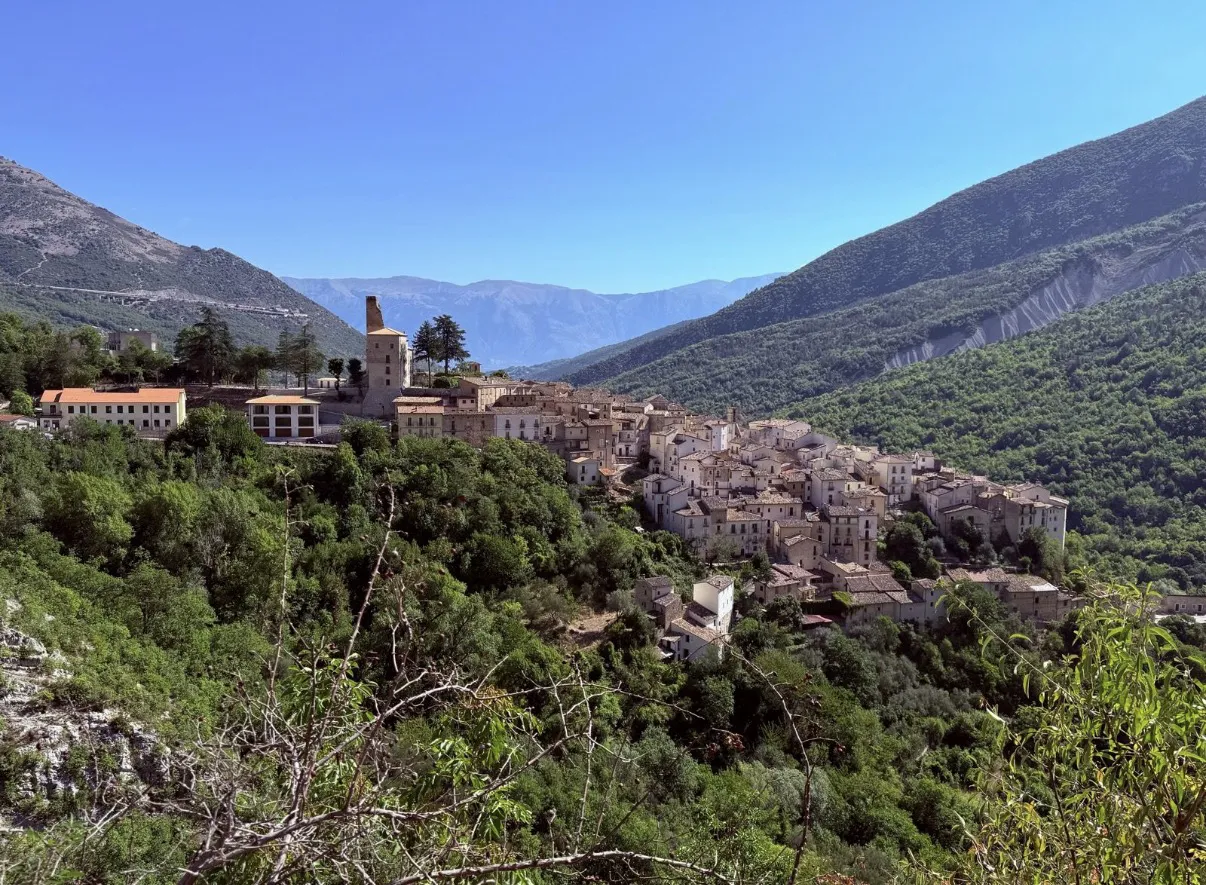
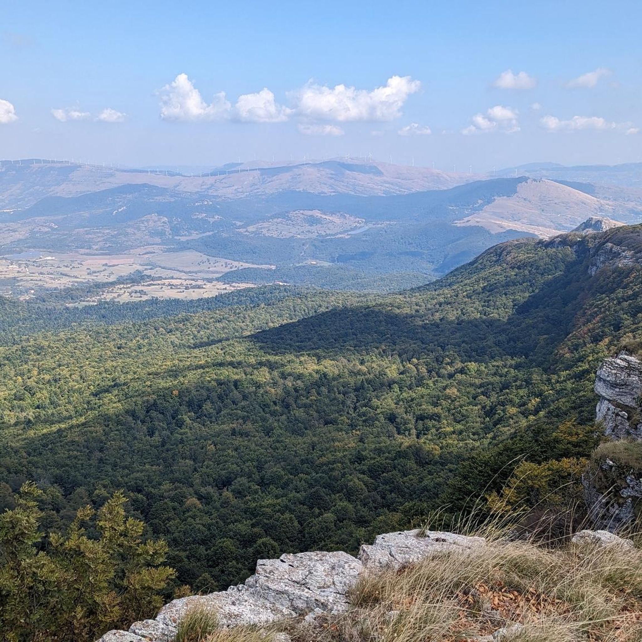
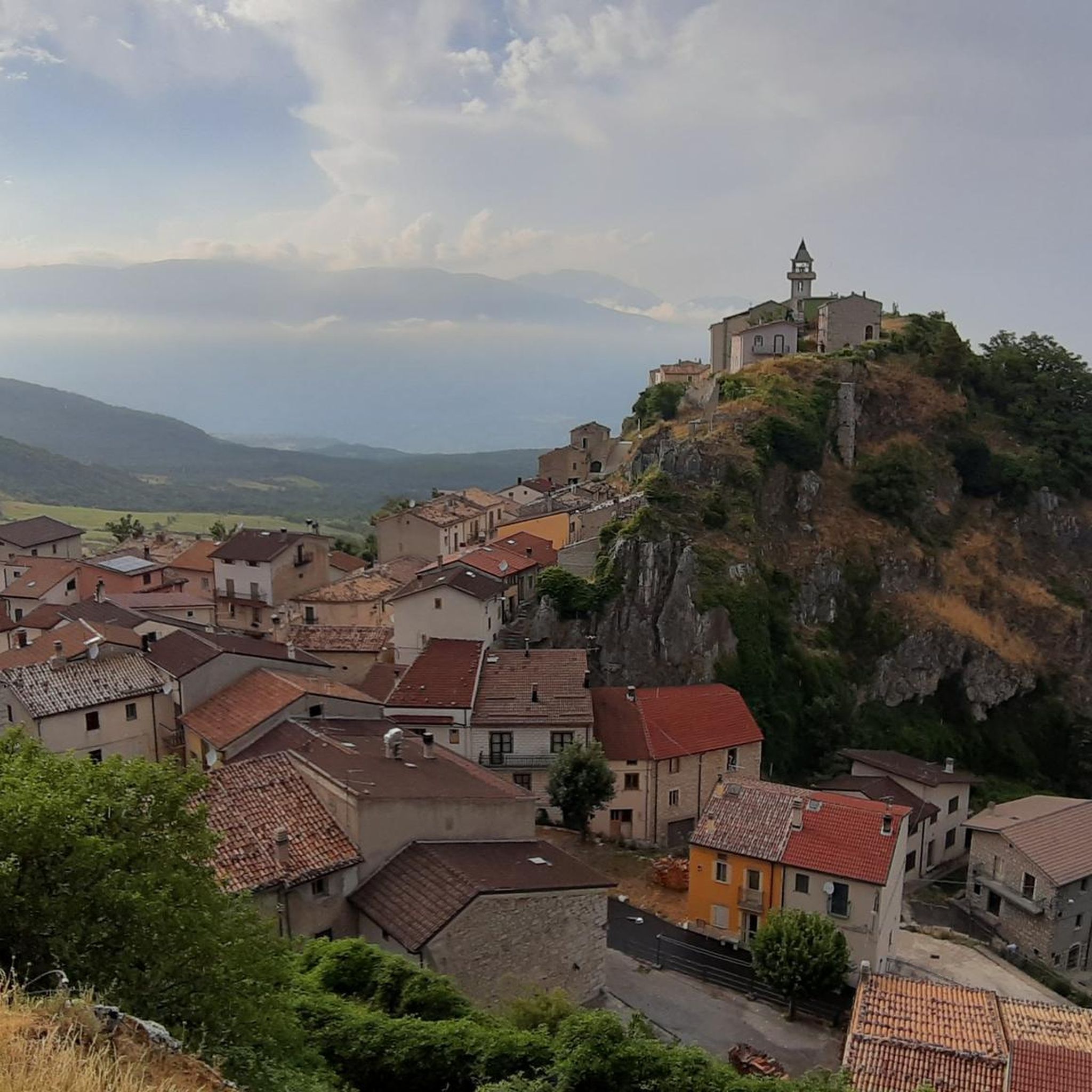
Other adventures around Pizzoferrato

Tips from the Community

This stretch of trail, very scenic and relatively simple but requiring a lot of attention, leads to the top of Mount Porrara, along the ridge.
0
0
This stretch of trail, very scenic and relatively simple but requiring a lot of attention and prudence, leads from Cima Ogniquota to La Paradina, along the ridge.
0
0


The Deer Wildlife Area is a magical place in the Majella National Park. Despite its name, it's possible to spot deer, but it's a bit rare.
0
0

This complex of cross-country ski trails is located at an altitude of almost 1600 meters in Piano Gentile and has a total length of about 15 kilometres. The slopes are approved by the F.I.S.I. and in summer they become hiking trails. They are almost all within a forest of beech and fir trees and are divided into three rings.
1
0
The Refuge and the Baita Prato Gentile are accommodation facilities in a panoramic area surrounded by nature, close to the cross-country ski runs and hiking trails of Prato Gentile. Various services are available with a bar and restaurant serving typical Molise cuisine, as well as having an area equipped for outdoor picnics.
1
0
Along the path that connects Portella Ceca and Piano Gentile there is this natural water fountain that allows you to take a break to quench your thirst. Be careful because there is not always running water, but it depends on the season and the period.
1
0
Between the summit of Monte Campo at 1746 meters and the Portella Ceca at 1670 meters, the path follows the ridge of the mountain, it is exposed at times and often proceeds on blocks of stone. Pay attention.
1
0
Frequently Asked Questions
How many running routes are available around Pizzoferrato?
There are 9 running routes documented on komoot for the Pizzoferrato area. These routes offer a variety of experiences, primarily catering to those seeking challenging mountain runs.
What is the typical difficulty level of running trails in Pizzoferrato?
The running trails around Pizzoferrato are predominantly challenging due to the mountainous terrain. Out of the 9 routes, 6 are classified as difficult and 3 as moderate. There are no easy routes listed, indicating a focus on more experienced runners.
What kind of terrain can I expect on the jogging routes near Pizzoferrato?
Jogging routes in Pizzoferrato feature the mountainous terrain of the Abruzzo region, with significant elevation changes. You'll encounter a mix of forested areas and open mountain slopes, providing varied running surfaces. Many routes lead to prominent peaks and through scenic valleys.
Are there circular running routes in Pizzoferrato?
Yes, many of the running routes in Pizzoferrato are circular paths, often starting from historical or scenic points. For example, the challenging Ascent to CIME Porrara and Paradina – loop run from Eremo Madonna dell'Altare and the Monte Campo and Monte Ciglione Loop are both excellent circular options.
Can I find scenic views on the running trails around Pizzoferrato?
Absolutely. The Pizzoferrato area is known for its natural beauty and panoramic views. Many routes offer stunning vistas from mountain peaks and open slopes. Highlights like Panoramic Ridge of Monte Porrara and Mount Porrara itself provide exceptional scenic points along the trails.
What are some points of interest or landmarks I can see while running near Pizzoferrato?
Several interesting landmarks and natural features can be found near the running routes. You might encounter the historic Hermitage of Madonna dell'Altare, or pass through mountain passes like Passo Forchetta. The region also features prominent peaks such as Mount Porrara and Peak Ogniquota.
Are there any family-friendly jogging routes in Pizzoferrato?
Given the predominantly difficult and moderate ratings, most running routes in Pizzoferrato are better suited for experienced runners. There are no easy routes listed, so families with young children or those seeking very gentle paths might find options limited. It's advisable to check individual route details for elevation and terrain before setting out with family.
Are dogs allowed on the running trails in Pizzoferrato?
Generally, dogs are welcome on trails in the Abruzzo region, especially in less populated mountain areas, but it's always best to keep them on a leash, especially near wildlife or livestock. Always check local signage for specific restrictions, particularly within protected areas or nature reserves.
What is the best time of year to go jogging in Pizzoferrato?
The best time for jogging in Pizzoferrato is typically from late spring to early autumn (May to October). During these months, the weather is generally milder, and trails are more accessible. Winter can bring snow and ice, making many routes challenging or impassable without specialized gear.
Are there options for winter jogging in Pizzoferrato?
Winter jogging in Pizzoferrato is possible but requires caution and appropriate gear due to snow and ice, especially at higher elevations. Some lower-lying or well-maintained paths might be accessible, but many mountain trails become suitable only for snowshoeing or ski mountaineering. Always check weather and trail conditions before heading out.
Where can I find parking for the running routes in Pizzoferrato?
Parking availability varies by trailhead. Many routes, especially those starting from villages or popular attractions like the Hermitage of Madonna dell'Altare, often have designated parking areas nearby. For routes starting in more remote locations, roadside parking might be an option. It's recommended to check the starting point of your chosen route on komoot for specific parking information.
Are there any cafes or refreshment points along the jogging routes?
While some routes might pass through or near small villages where cafes or shops are available, many of the mountain trails in Pizzoferrato are remote. It's advisable to carry sufficient water and snacks, especially for longer runs. The Prato Gentile Hut is one potential refreshment point, but its opening hours should be verified.
What should I wear for jogging in Pizzoferrato's mountainous terrain?
Given the significant elevation changes and varied terrain, layered clothing is recommended for jogging in Pizzoferrato. Technical fabrics that wick moisture, sturdy trail running shoes with good grip, and protection from sun and wind are essential. Depending on the season, consider bringing a lightweight waterproof jacket and extra layers for higher altitudes where temperatures can drop quickly.
Most popular attractions around Pizzoferrato

Get inspired with the komoot mobile app


Explore more
Browse the best Running Trails & Routes in other regions.
