The best walks and hikes around Montelapiano
3.6
(39)
187
hikers
15
hikes
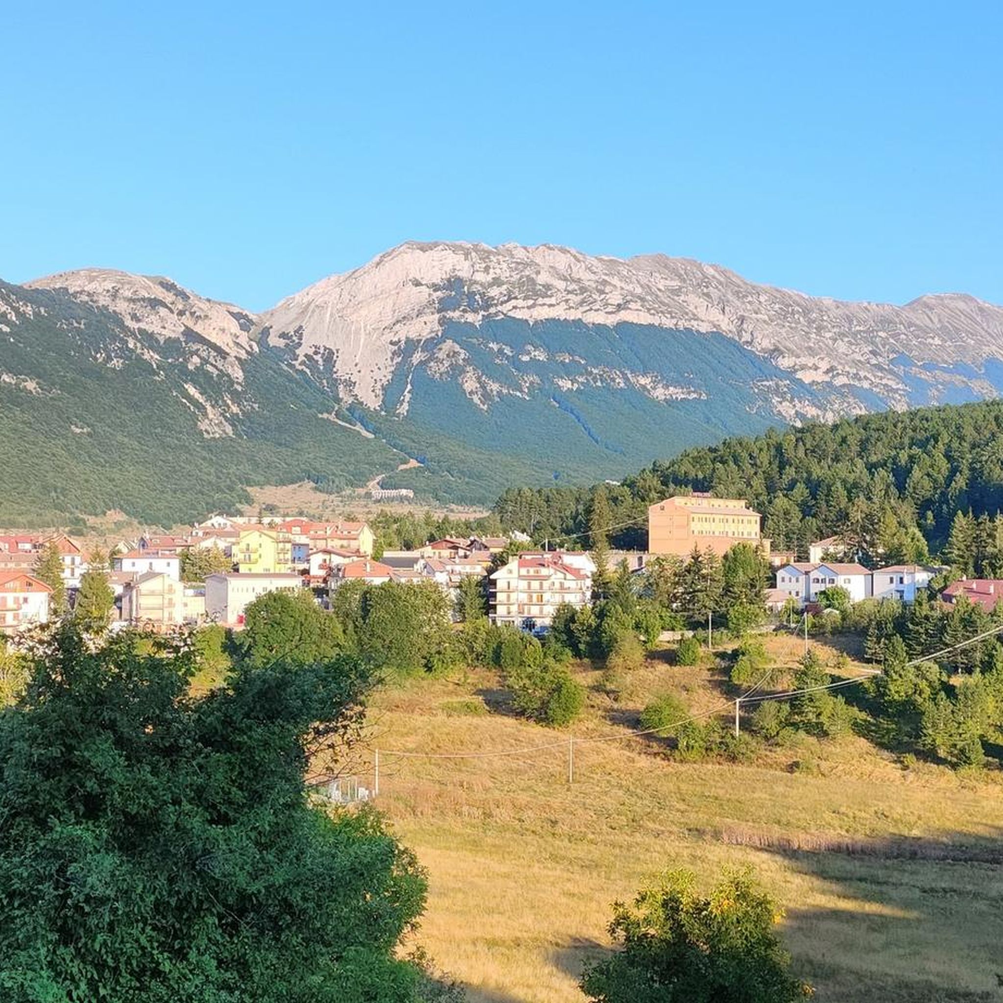
Hiking around Montelapiano offers access to diverse landscapes within Italy's Abruzzo region, characterized by green hills, mountainous terrain, and panoramic views. The area features forests, gorges, and waterfalls, providing varied natural scenery. Situated between the mountains of Roccaraso and the Adriatic Sea, Montelapiano serves as a base for exploring the Sangro Valley, with trails offering views of the Maiella and Mainarde massifs. The elevation changes cater to different hiking preferences and skill levels.
Best hiking trails around Montelapiano
- The most…
Last updated: July 5, 2026
4.3
(3)
7
hikers
4.66km
01:22
120m
120m
Easy hike. Great for any fitness level. Easily-accessible paths. Suitable for all skill levels.
3.9
(9)
63
hikers
4.94km
01:29
150m
150m
Easy hike. Great for any fitness level. Easily-accessible paths. Suitable for all skill levels.

Sign up for free
4.0
(4)
14
hikers
9.05km
02:51
340m
340m
Moderate hike. Good fitness required. Easily-accessible paths. Suitable for all skill levels.
3.0
(5)
9
hikers
7.76km
02:23
270m
270m
Moderate hike. Good fitness required. Easily-accessible paths. Suitable for all skill levels.
7
hikers
10.8km
03:12
310m
320m
Moderate hike. Good fitness required. Easily-accessible paths. Suitable for all skill levels.
Get access to more routes and recommendations from other explorers.
Sign up for free
Already have an account?
Our route recommendations are based on thousands of hikes, rides, and runs completed by other people on komoot.
Start today with a free account
Your next adventure awaits.
Login or Signup



Tips from the Community

The excursion was done on June 16, 2024 and there was a total lack of water!
1
0

"The archaeological park of Iuvanum is one of those hidden places to discover. In the middle of the Abruzzo countryside, you don't expect to find a vast area rich in history, and you have the impression of entering a painting, a window about the past, where the important ruins stand out, surrounded by nature".
0
0

The Green Falls are located within a Special Area of Conservation (SAC), with the falls originating from the Rio Verde. The organic quality is remarkable, there are crayfish and river crab, the dipper and the yellow wagtail, as well as the peregrine falcon and the red kite.
2
0
The green waterfalls are the highest perennial natural waterfalls in the Apennines. In total they fall for over 200 meters before joining the Sangro River.
2
0

In addition to numerous small frogs and fish, this small water snake also lives in the Gola and presumably feeds on the former. Now, at the beginning of October, the waterfall is more of a small trickle. To do this, it can be easily reached from the parking lot at the entrance to the gorge after a few minutes of walking over round stones and mini climbing inserts over two slightly larger rocks with dry feet. Sturdy footwear is still advisable and, especially in bad weather, you should take the notice at the entrance to the gorge that you should only enter it with a helmet because of the risk of falling rocks.
0
0
Frequently Asked Questions
How many hiking trails are available around Montelapiano?
There are over 10 hiking routes around Montelapiano, offering a variety of experiences from easy walks to more moderate challenges. These trails explore diverse landscapes, including lake views, forests, and gorges.
What kind of landscapes can I expect to see while hiking near Montelapiano?
Hiking around Montelapiano offers access to diverse landscapes within the green hills of Abruzzo. You can expect picturesque lake views, especially around Lago di Bomba, and mountainous terrain. Trails often wind through forests, gorges, and areas featuring waterfalls, providing varied natural scenery.
Are there any hikes that feature waterfalls near Montelapiano?
Yes, the area is known for its waterfalls. You can explore the Regional Natural Reserve Cascate del Verde, which is specifically known for its waterfalls. Another option is the View of the Cascate del Verde – View of the Cascate del Verde loop from Borrello, offering views of the Cascate del Verde. Additionally, the Gole di Pennadomo, approximately 4.5 km from Montelapiano, features the Waterfall in Gola di Pennadomo.
Can I find trails with panoramic views of Lago di Bomba?
Absolutely. Montelapiano offers spectacular viewpoints that provide incredible vistas of Lago di Bomba and the surrounding peaks. While specific routes are not listed, many trails in the region will lead to rewarding panoramic spots overlooking the lake, which is a central hub for outdoor enthusiasts.
Are there historical landmarks or other attractions I can visit while hiking?
Yes, the region combines natural beauty with cultural elements. The Castello di Roccascalegna, a medieval castle, is a notable landmark nearby that could be incorporated into a hiking itinerary. You can also find viewpoints like the View of the Pescopennataro Crags, offering enchanting views of surrounding valleys.
Are there any family-friendly hiking options in the area?
Yes, Montelapiano offers several easy trails suitable for families. For example, the Regional Natural Reserve Cascate del Verde is an easy 4.7 km trail. Another accessible option is the View of the Cascate del Verde loop from Borrello, which is also an easy route.
Can I bring my dog on the hiking trails around Montelapiano?
Many trails in the Montelapiano region are generally dog-friendly, allowing you to enjoy the natural beauty with your canine companion. However, it's always advisable to keep dogs on a leash, especially in nature reserves or areas with wildlife, and to check for any specific local regulations or signage on individual trails.
Are there circular hiking routes available?
Yes, there are several circular hiking routes. Examples include the View of the Cascate del Verde – View of the Cascate del Verde loop from Borrello and the Mixed Deciduous Oak Woodland – Megalithic Walls loop from Tornareccio. These loops provide varied scenery without retracing your steps.
What is the general difficulty level of hikes around Montelapiano?
The hikes around Montelapiano cater to various ability levels. The majority of routes are classified as easy or moderate. There are 4 easy trails and 6 moderate trails, making it accessible for both casual walkers and those looking for a bit more challenge. There are no difficult trails listed in the immediate vicinity.
What do other hikers enjoy the most about hiking in Montelapiano?
The area is highly rated by the komoot community, with an average score of 3.6 stars from over 30 reviews. Hikers often praise the diverse terrain, from lake views to forested hills and gorges, and appreciate the options available for different ability levels. Over 160 hikers have used komoot to explore Montelapiano's varied landscape.
When is the best time of year to go hiking in Montelapiano?
Montelapiano, nestled in the green hills of Abruzzo, is beautiful throughout much of the year. Spring and autumn generally offer the most pleasant hiking conditions with mild temperatures and vibrant natural colors. Summer can also be enjoyable, especially in the mornings or late afternoons, though it can get warm. Winter hiking is possible, but some higher elevation trails might be affected by snow or colder conditions.
What are the parking options for hikers in Montelapiano?
While specific parking facilities for every trailhead are not detailed, Montelapiano is a small town, and parking is generally available within or near the village center. For trails further afield, it's common to find designated parking areas at popular starting points or near key attractions like Lago di Bomba or the Cascate del Verde. Always look for local signage.
Is public transport available to reach hiking trailheads near Montelapiano?
Public transport options directly to specific trailheads around Montelapiano may be limited, given its rural setting. It's generally recommended to have a car for maximum flexibility when exploring the hiking routes in the Abruzzo region. However, local bus services might connect Montelapiano to larger towns, from which you could potentially access some trail starting points.
Most popular attractions around Montelapiano

Get inspired with the komoot mobile app


Explore more
Browse the best Hikes in other regions.
