The best running trails around Cervara Di Roma
4.3
(4)
588
runners
45
runs
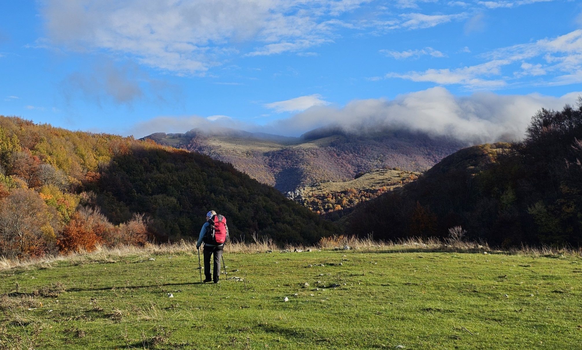
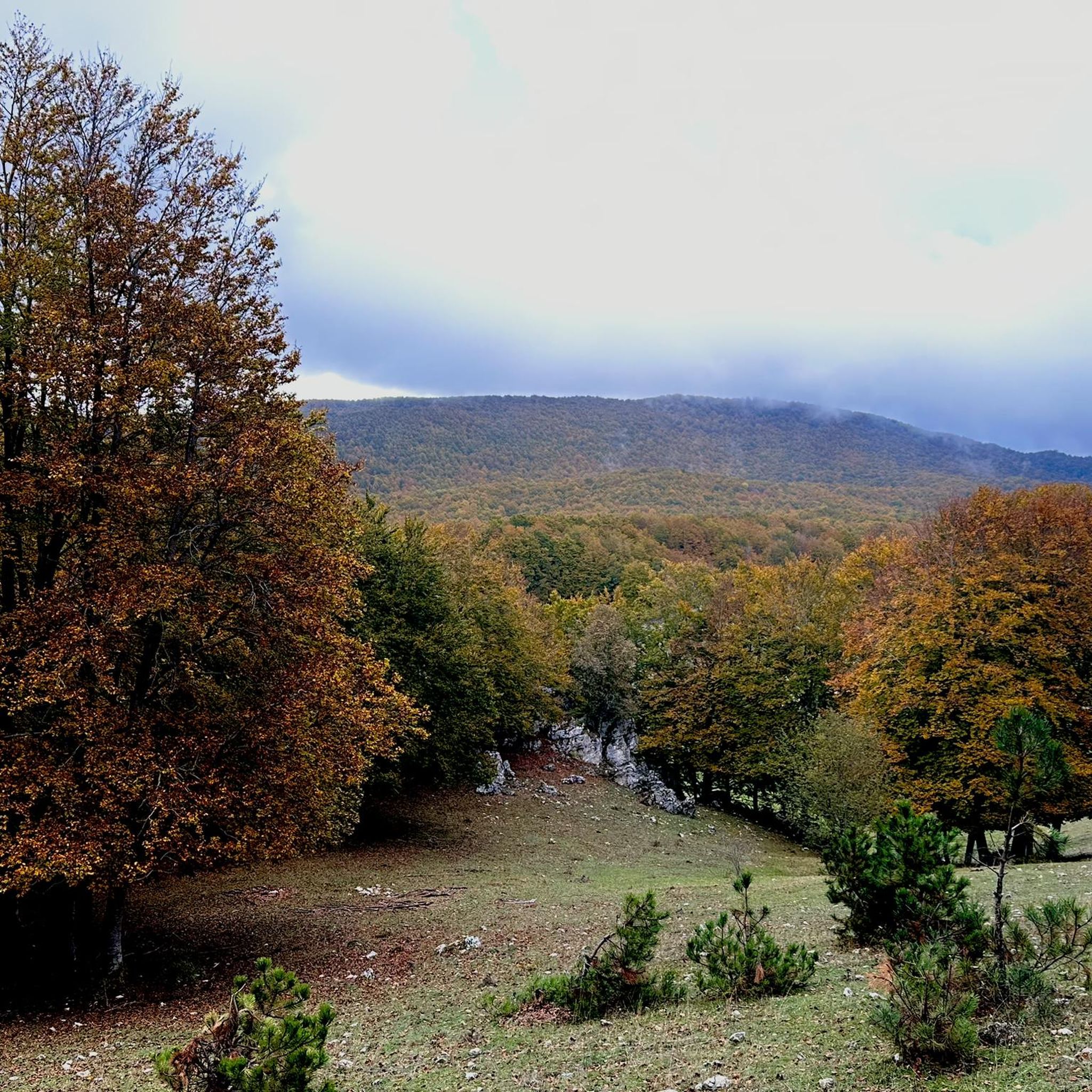
Jogging around Cervara Di Roma reveals a landscape characterized by significant elevation changes, with routes often leading to prominent summits and viewpoints. The terrain includes challenging ascents and descents, indicative of mountainous or hilly regions. Dense woodlands and open areas with panoramic vistas are common features along the running routes. The area offers a demanding environment for runners seeking long-distance challenges and substantial elevation gain.
Best jogging routes around Cervara Di Roma
- The most popular jogging route is Monte Autore Viewpoints – Monte Autore Summit loop from Farmacia, a 15.5 miles (24.9 km) trail that takes 3 hours 35 minutes to complete. This difficult route offers extensive views from Monte Autore's summit.
- Another top favourite among local runners is Monte Calvo Summit Cross – Passo delle Pecore loop from Farmacia, a difficult 8.6 miles (13.9 km) path. This route features a summit cross and varied terrain with notable elevation changes.
- Local runners also love the Le Vedute – Locanda dell'Orso loop from Farmacia, a 26.6 miles (42.8 km) trail leading through areas with significant elevation gain, often completed in about 5 hours 56 minutes.
- Jogging around Cervara Di Roma is defined by challenging ascents, panoramic viewpoints, and varied mountain terrain. The network offers options primarily for experienced runners seeking difficult and moderate routes.
- The routes in Cervara Di Roma are rated by the komoot community with an average score of 4.0 stars from 2 reviews. More than 400 runners have used komoot to explore Cervara Di Roma's varied terrain.
Last updated: October 8, 2026
84
runners
13.9km
01:54
490m
490m
Hard run. Very good fitness required. Sure-footedness, sturdy shoes and alpine experience required.
62
runners
47.8km
07:30
2,460m
2,460m
Hard run. Very good fitness required. Sure-footedness, sturdy shoes and alpine experience required.

51
runners
9.24km
01:05
220m
220m
Moderate run. Good fitness required. Mostly paved surfaces. Suitable for all skill levels.
15
runners
42.9km
05:57
1,560m
1,560m
Hard run. Very good fitness required. Sure-footedness, sturdy shoes and alpine experience required.
11
runners
13.8km
01:32
340m
340m
Hard run. Very good fitness required. Mostly paved surfaces. Suitable for all skill levels.
Get access to more routes and recommendations from other explorers.
Already have an account?
Our route recommendations are based on thousands of hikes, rides, and runs completed by other people on komoot.
Start today with a free account
Your next adventure awaits.

Other adventures around Cervara Di Roma

Tips from the Community

Simple walk but with a wonderful view!!
0
0

Panoramic point at about 1750 meters above sea level, important crossroads for singletrack
0
0

Very beautiful, but be careful with the loose gravel base.
0
0

Vallepietra is a small village nestled in the Simbrivio River valley. The view from the village is exceptional: the wooded peak of Mount Autore, the rocky walls of the Santissima Trinità sanctuary, and the narrow valley carved out by the river.
0
0

Hello everyone, I can only tell you that it was a lucky excursion for a great running event on all the paths of Campo dell'Osso up to Monte Autoro, a beautiful trial marathon with many participants. Just the day, cool and sunny, perfect day
0
0

At the end of the dirt road that starts from Campo Minnio you arrive at the panoramic point Le Vedute with a view of Monte Tarino, Monte Viglio and the Santissima Trinità
0
0

Monna dell'Orso is a mountain located in the Monte Livata district, in the Simbruini Mountains. With a height of 1,745 meters above sea level, it is one of the most emblematic peaks in the area. The mountain is famous for its ski resort, which includes a four-seater chairlift that allows you to easily reach the top and enjoy spectacular views of the surrounding valley. In addition to winter, Monna dell'Orso is also a popular destination during the summer season, thanks to its trails that lead to panoramic excursions in the heart of the Simbruini Mountains Regional Natural Park.
2
0

Beautiful panoramic place also reachable by bike especially MTB.
0
0
Frequently Asked Questions
What is the general difficulty level of running routes in Cervara Di Roma?
Running routes around Cervara Di Roma are predominantly challenging, featuring significant elevation changes and varied mountain terrain. The area offers options primarily for experienced runners, with 29 difficult routes and 12 moderate routes out of a total of 41. There are no easy routes available.
Are there any long-distance running trails available in Cervara Di Roma?
Yes, Cervara Di Roma is known for its demanding long-distance running challenges. For example, the Le Vedute – Passo Procoio loop from Farmacia is a difficult 45.5 km (28.3 miles) trail with over 2300 meters of elevation gain, typically taking around 7 hours to complete.
Can I find circular running routes in Cervara Di Roma?
Many of the running routes in Cervara Di Roma are designed as loops, allowing you to start and finish at the same point. A notable example is the Le Vedute loop from Campo dell'Osso, which is a difficult 7.9 km (4.9 miles) trail.
What kind of scenery can I expect on the running trails?
The running trails in Cervara Di Roma offer stunning panoramic vistas, especially from prominent summits like Monte Autore. You'll encounter dense woodlands and open areas, characteristic of a mountainous region. The Monte Autore Viewpoints – Monte Autore Summit loop from Farmacia is particularly known for its extensive views.
Are there any family-friendly running paths in Cervara Di Roma?
Given the significant elevation changes and the prevalence of difficult and moderate routes, Cervara Di Roma is generally not considered ideal for family-friendly running paths. Most trails are better suited for experienced runners seeking a challenge.
What do other runners say about the trails in Cervara Di Roma?
The running routes in Cervara Di Roma are highly regarded by the komoot community, with an average rating of 4.0 stars from 2 reviews. Over 400 runners have used komoot to explore the varied and challenging terrain, often praising the demanding ascents and panoramic viewpoints.
Are there any points of interest or landmarks along the running routes?
While the routes themselves focus on natural beauty, the region around Cervara Di Roma features several historical and natural highlights. You might find yourself near settlements like Cineto Romano or castles such as Massimo Castle of Arsoli. Some trails also pass by significant viewpoints like the View of Castello di Alvito.
What is the best season for running in Cervara Di Roma?
Due to its mountainous character, the best seasons for running in Cervara Di Roma are typically spring and autumn when temperatures are milder. Summer can be very warm, especially on exposed sections, while winter may bring snow and ice, making some trails more challenging or inaccessible.
Are there any running routes that offer a summit experience?
Yes, several routes lead to prominent summits, offering rewarding views. The Monte Calvo Summit Cross – Passo delle Pecore loop from Farmacia is a difficult 13.9 km (8.6 miles) path that features a summit cross and varied terrain with notable elevation changes.
How many running routes are available in the Cervara Di Roma area?
There are over 40 distinct running routes documented around Cervara Di Roma, offering a wide range of options for runners seeking challenging terrain and scenic views.
Are there any shorter, yet still challenging, running options?
While most routes are long, there are some shorter, difficult options for a quicker but intense workout. The Le Vedute loop from Campo dell'Osso, at 7.9 km (4.9 miles), provides a significant challenge in a more compact distance.
Most popular routes around Cervara Di Roma
Most popular attractions around Cervara Di Roma

Get inspired with the komoot mobile app


Explore more
Browse the best Running Trails & Routes in other regions.
