The best road cycling routes around Campo Di Giove
4.1
(230)
2,148
riders
55
rides
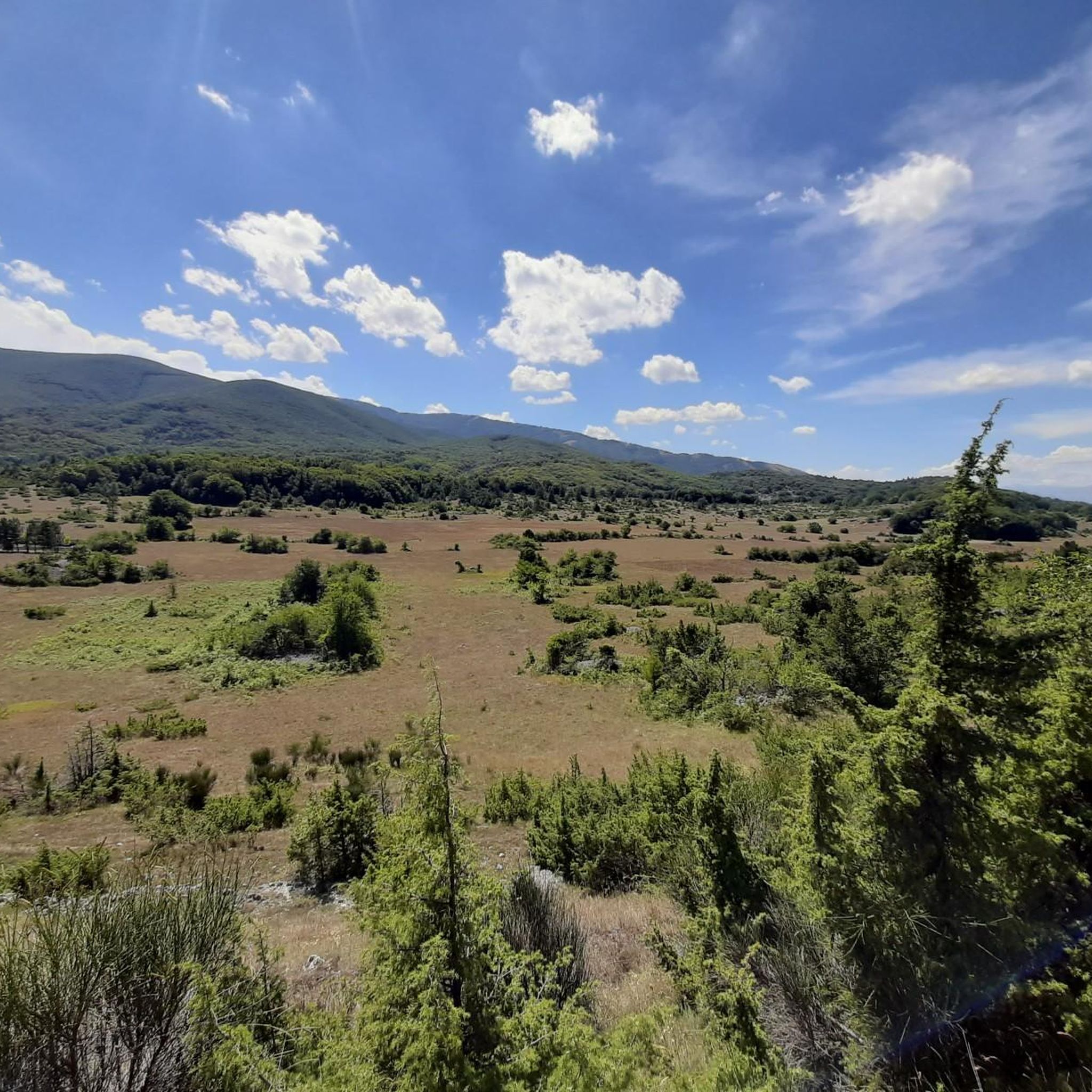
Road cycling around Campo Di Giove, nestled within Italy's Majella National Park, offers diverse and challenging terrain. The region is situated at over 1,000 meters altitude, surrounded by the Majella Mountains and the Altipiani Maggiori, featuring green slopes, vast pine and beech forests, and numerous valleys. This mountainous environment provides demanding routes with significant elevation changes, making it suitable for well-trained cyclists seeking a challenge.
Best road cycling routes around Campo Di Giove
- The most popular road cycling route is…
Last updated: October 28, 2026
4.5
(4)
57
riders
36.0km
02:06
840m
840m
Moderate road ride. Good fitness required. Mostly well-paved surfaces and easy to ride.
4.7
(7)
168
riders
134km
07:05
2,470m
2,470m
Hard road ride. Very good fitness required. Some segments of this route may be unpaved and difficult to ride.

5.0
(1)
49
riders
57.0km
02:58
1,020m
1,020m
Hard road ride. Very good fitness required. Mostly well-paved surfaces and easy to ride.
4.3
(3)
30
riders
55.8km
02:54
940m
940m
Hard road ride. Very good fitness required. Mostly well-paved surfaces and easy to ride.
29
riders
44.2km
02:16
790m
790m
Moderate road ride. Good fitness required. Mostly well-paved surfaces and easy to ride.
Get access to more routes and recommendations from other explorers.
Already have an account?
Our route recommendations are based on thousands of hikes, rides, and runs completed by other people on komoot.
Start today with a free account
Your next adventure awaits.
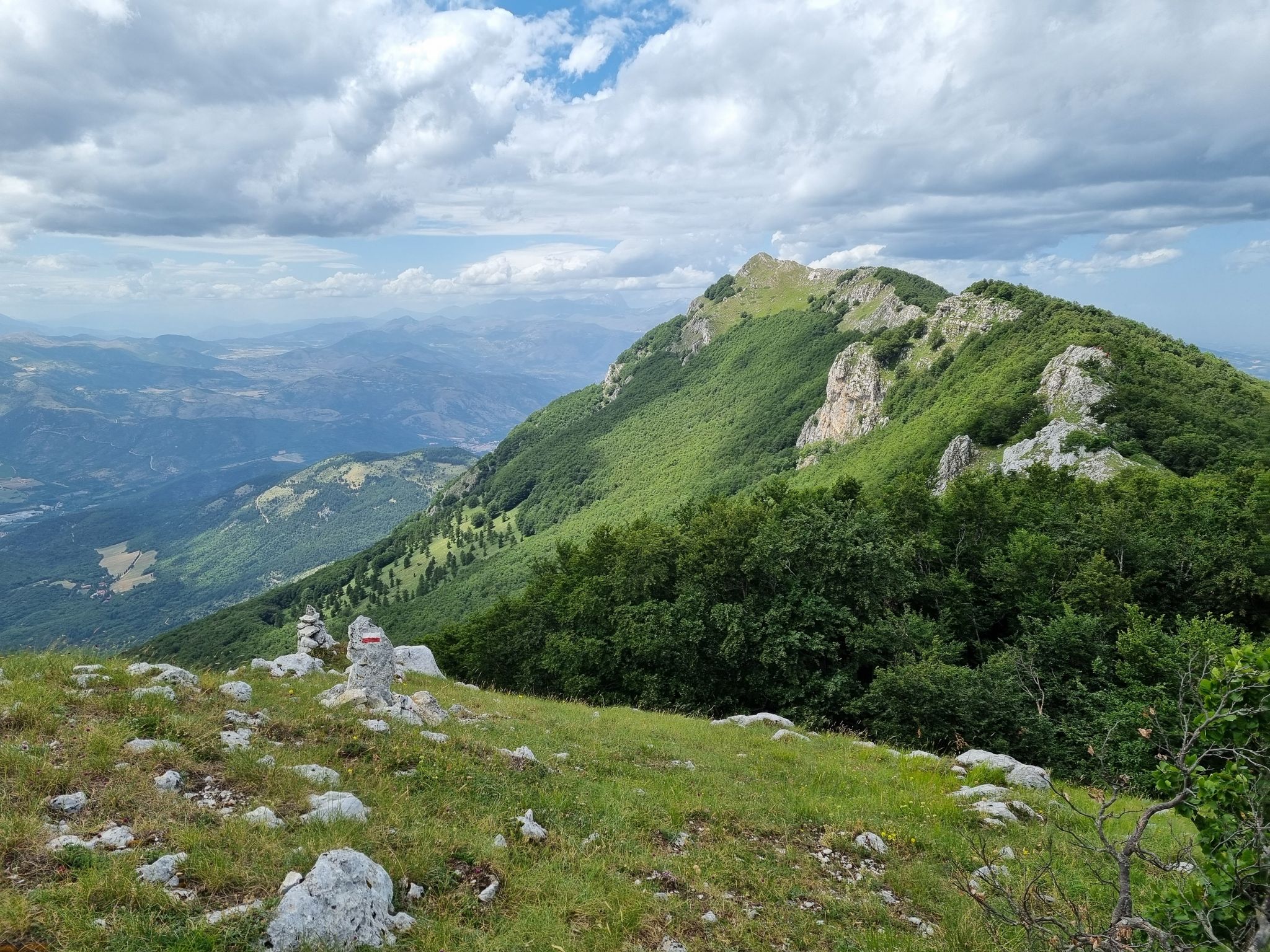
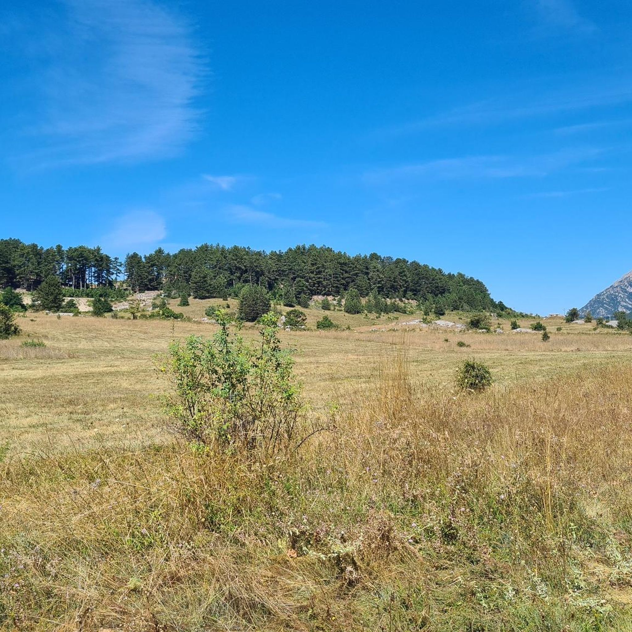
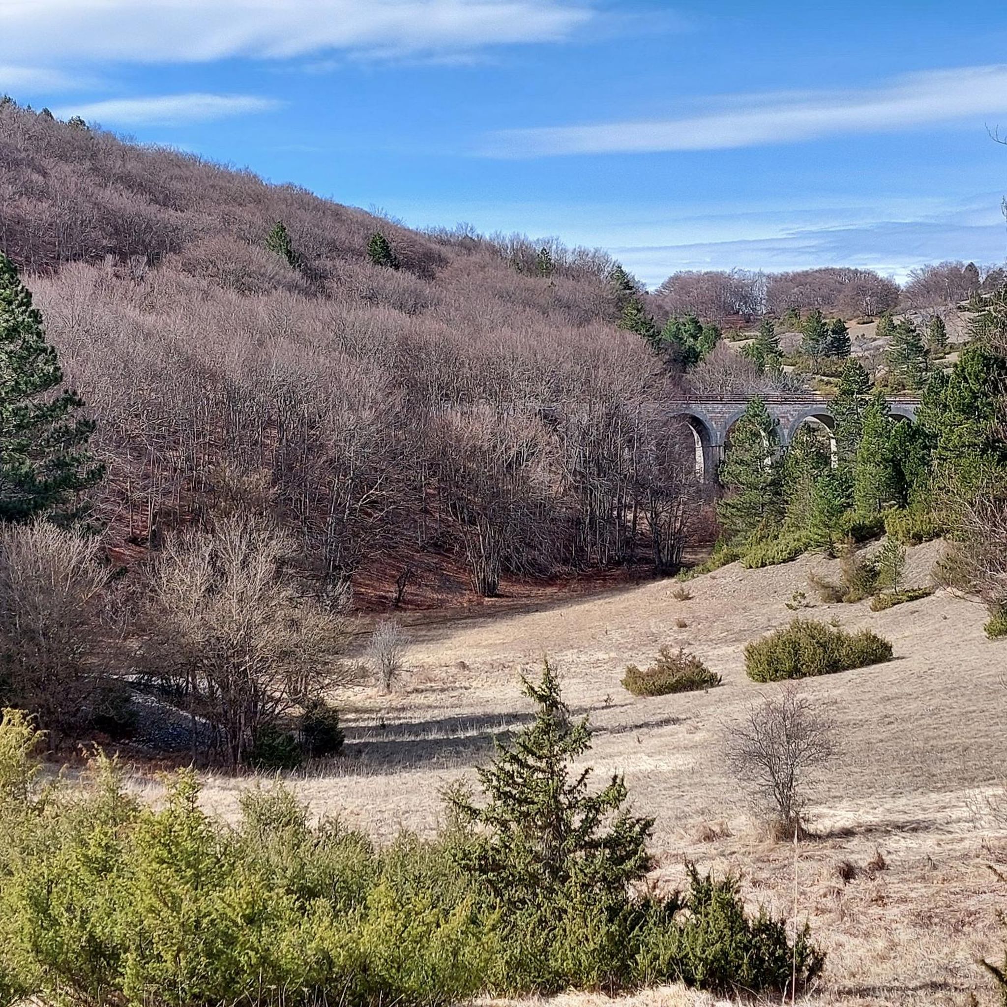
Other adventures around Campo Di Giove

Tips from the Community

Beautiful climb from both sides. From the center of Villetta Barrea there are a couple of hairpin bends that climb quite a bit. Then the road climbs more gently, initially shaded and then treeless up to the clearing with the refuges and lifts. The actual pass is about 1.5km further on. From the Scanno side, however, once you leave the town, there are some hairpin bends that still climb quite gently, then the road settles on the mountainside offering a wonderful panorama of the valley. The climb is not hard to do by bicycle. From the refuges, various paths start, a simple and recommended one is the one that goes towards the Tasso springs.
0
0

Lake San Domenico is a picturesque artificial basin created around 1920 with the construction of a dam on the Sagittario river, built for hydroelectric power generation. Located near the Hermitage of San Domenico, it strikes with the extraordinary color of its waters, which vary from emerald green to intense blue.
1
0

the view is magnificent
0
0

Yes, it is just arriving from Scanno passing through Passo Godi going towards Villetta Barrea
0
0

In reality it is not the Sagittario valley but the entrance to the Pnalm from Scanno to Passo Godi
0
0

Interesting, well-restored castle complex with worthwhile views from the tower of the entire old town of the medieval village of Pacentro and the beautiful surroundings.
0
0

Artificial lake in the municipality of Villalago, the San Domenico basin has as its main tributary the Sagittario river, which is also the waterway that emerges from the dam. Not far from this point stands the hermitage of San Domenico.
0
0

Frequently Asked Questions
How many road cycling routes are available around Campo Di Giove?
There are over 60 road cycling routes in the Campo Di Giove area, offering a wide range of options for cyclists. These routes are highly rated by the komoot community, with an average score of 4.2 stars.
What is the best time of year for road cycling in Campo Di Giove?
Campo Di Giove, situated at over 1,000 meters altitude, offers a refreshing experience. While the region is known for snow-covered peaks in winter, summer provides lush greenery and ideal conditions for road cycling. The crisp, refreshing air makes it particularly enjoyable during the warmer months.
Are there any family-friendly road cycling routes in Campo Di Giove?
While many routes in Campo Di Giove feature significant elevation changes, making them challenging, there are options for various skill levels. The guide lists 5 easy routes that could be more suitable for families or those seeking a less strenuous ride. For example, the Cansano e Pacentro – loop from Campo di Giove is a moderate route that offers varied landscapes through charming towns, which might be enjoyable for older children or more experienced family cyclists.
What kind of terrain can I expect on road cycling routes in Campo Di Giove?
Road cycling around Campo Di Giove is characterized by the majestic Majella Mountains and the Altipiani Maggiori. You can expect diverse and challenging terrain, including green slopes, vast pine and beech forests, and numerous valleys. Many routes feature demanding climbs and descents, making it ideal for well-trained cyclists seeking a challenge.
Are there any circular road cycling routes available?
Yes, many of the road cycling routes around Campo Di Giove are designed as loops, allowing you to start and finish in the same location. Examples include the popular Cansano e Pacentro – loop from Campo di Giove and the Majella National Park loop from Campo di Giove.
What are some notable natural attractions or viewpoints along the road cycling routes?
The routes offer breathtaking views of the Majella National Park. You might pass by significant natural features such as Passo San Leonardo, which is part of the Majella National Park – Passo San Leonardo loop from Campo di Giove Maiella. The region also boasts extensive pine and beech forests, including the ancient Bosco di Sant'Antonio.
Are there historical landmarks or cultural sites to see while cycling?
Absolutely. The charming historic center of Campo Di Giove itself features medieval and Renaissance architecture. Along some routes, especially those passing through nearby towns like Pacentro, you might encounter historical castles such as Pacentro Castle or the Fortified Village of Pacentro. The historic Sulmona-Carpinone Railway, also known as the Transiberiana d'Italia, also passes through the area, offering scenic train journeys.
What are the difficulty levels of road cycling routes in Campo Di Giove?
The routes in Campo Di Giove cater to various cycling preferences, with options for easy, moderate, and difficult ability levels. The mountainous environment means many routes involve significant elevation changes. There are 5 easy routes, 27 moderate routes, and 29 difficult routes available, ensuring something for every skill level.
Is public transport available to reach starting points for cycling routes?
Campo Di Giove is a well-known resort, and while specific public transport options for bikes can vary, the village itself serves as a common starting point for many routes. For detailed information on public transport connections to Campo Di Giove, you might find resources on the official Italian tourism website: italia.it.
Where can I find parking for road cycling in Campo Di Giove?
As a popular resort town and a gateway to the Majella National Park, Campo Di Giove typically offers parking facilities for visitors. Many routes start directly from the village, making it convenient to park your vehicle and begin your ride. Specific parking areas might be indicated locally.
Are there any specific permits required for cycling within Majella National Park?
The Majella National Park is a protected area. While general cycling on established roads typically doesn't require specific permits, it's always advisable to check the official park regulations for any specific requirements or restricted areas, especially if you plan to venture off paved roads or into more remote sections. The ground floor of Palazzo Nanni in Campo Di Giove houses the park's Information Centre, which can provide up-to-date details.
What do other road cyclists enjoy most about cycling in Campo Di Giove?
The area is highly rated by the komoot community, with an average score of 4.2 stars from over 200 reviews. Cyclists often praise the challenging yet rewarding terrain, the stunning panoramas of the Majella Mountains, and the diverse landscapes that include charming towns and dense forests. The sense of accomplishment after tackling the significant elevation gains is frequently highlighted.
Most popular attractions around Campo Di Giove

Get inspired with the komoot mobile app


Explore more
Browse the best Road cycling routes in other regions.
