The best walks and hikes around Introdacqua
4.5
(1169)
5,375
hikers
169
hikes
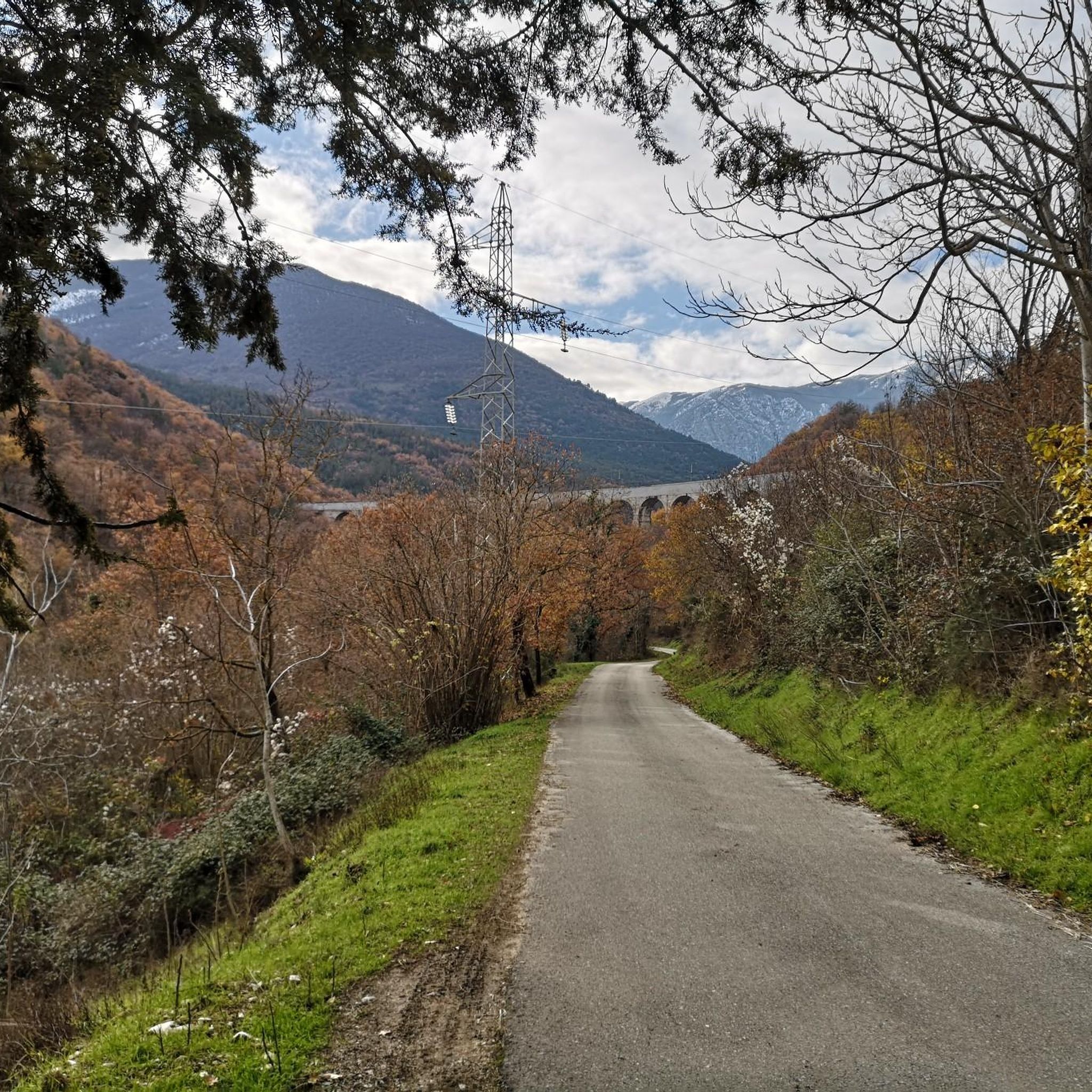
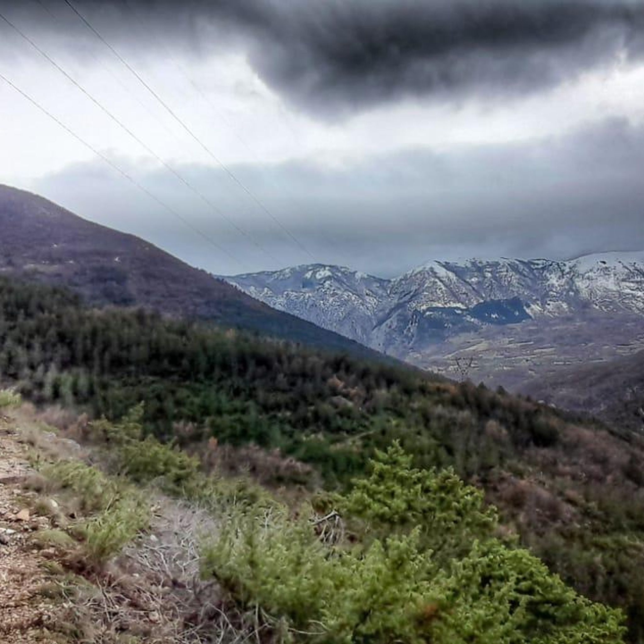
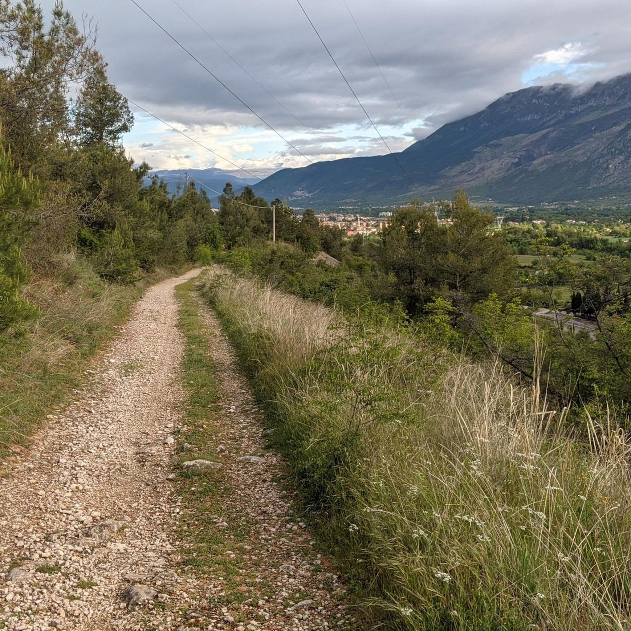
Hiking around Introdacqua offers diverse landscapes in Italy's Abruzzo region, situated within the Peligna Valley. The area is characterized by mountainous terrain, including views of the Majella Massif and Gran Sasso, alongside extensive wooded and pine forests. Numerous natural springs contribute to the lushness of the valleys, providing varied environments for outdoor activities. This region provides a range of hiking experiences, from valley strolls to challenging mountain ascents.
Best hiking trails around Introdacqua
- The most popular hiking route is Crocetta…
Last updated: September 28, 2026
4.6
(5)
52
hikers
11.7km
04:06
640m
640m
Moderate hike. Good fitness required. Easily-accessible paths. Suitable for all skill levels.
5.0
(2)
37
hikers
3.32km
00:53
40m
40m
Easy hike. Great for any fitness level. Easily-accessible paths. Suitable for all skill levels.

3.7
(3)
13
hikers
15.9km
05:17
760m
760m
Hard hike. Very good fitness required. Easily-accessible paths. Suitable for all skill levels.
4.0
(2)
13
hikers
Moderate hike. Good fitness required. Easily-accessible paths. Suitable for all skill levels.
15
hikers
10.9km
04:15
810m
810m
Moderate hike. Good fitness required. Easily-accessible paths. Suitable for all skill levels.
Get access to more routes and recommendations from other explorers.
Already have an account?
Our route recommendations are based on thousands of hikes, rides, and runs completed by other people on komoot.
Start today with a free account
Your next adventure awaits.
Tips from the Community


The medieval aqueduct of Sulmona runs alongside the central Piazza Garibaldi and is one of the symbols of the city of Sulmona.
0
0
The Medieval Aqueduct is one of the symbols of the city of Sulmona. It runs alongside the central Piazza Garibaldi and was built in 1256 during the reign of Manfred of Swabia.
0
0

A surprising relief along the dreary eastern bypass (Circonvallazione Orientale) of the old town. At the same time, in good weather, fascinating views to the north of the Gran Sasso mountains open up.
1
0
To the north there are excellent views of the Gran Sasso.
1
0
San Panfilo is the cathedral or dome of Sulmona. It dates back to the 8th or 10th century. It was declared a national monument in 1902.
1
0
To the southeast there are excellent views of the mountain ranges in the Majella National Park.
1
0
Corso Ovidio is the main street in Sulmona's old town. This section is particularly architecturally interesting. The famous Annunziata complex, considered "the most precious jewel of the city's architectural wealth," consists of the Palazzo dell'Annunziata and the 15th-century Chiesa della Santa Annunziata, located directly to the left. Nearby stands the monument to the poet Ovid, who was born in the city and who also gave the street its name.
1
0
Frequently Asked Questions
How many hiking trails are available around Introdacqua?
There are over 150 hiking routes around Introdacqua, catering to various skill levels. You'll find a good mix, with 42 easy routes, 65 moderate routes, and 44 challenging trails to explore.
What kind of terrain can I expect on hikes near Introdacqua?
The terrain around Introdacqua is quite diverse. You can expect mountainous landscapes with views of the Majella Massif and Gran Sasso, extensive wooded and pine forests (like the "Genzana Snow-Covered Forest"), and lush valleys fed by natural springs. Trails range from gentle valley strolls to more strenuous mountain ascents.
Are there any easy, family-friendly hikes in the area?
Yes, Introdacqua offers several easy routes suitable for families. For a pleasant, shorter walk, consider the Sulmona Roman Aqueduct – Sulmona Confetti Flowers loop from Zappannotte, which is an easy 5.8 km trail. The region's fertile valleys also provide gentler paths.
Where can I find circular hiking routes around Introdacqua?
Many of the trails around Introdacqua are designed as loops. For a moderate circular hike through dense woodlands, try the Genzana Snow-Covered Forest loop from Introdacqua. If you're looking for mountain views, the Crocetta di Sulmona – Monte Mitra Summit Cross loop from Sulmona offers panoramic vistas on a moderate 11.6 km circuit.
What are some notable natural features or landmarks to see while hiking?
The region is rich in natural beauty and historical sites. You can hike to see the majestic Majella Massif, explore the extensive wooded areas, or discover natural springs. Nearby, you can visit Lake Scanno or Lake San Domenico. For a unique forest experience, the Bosco di Sant'Antonio is also within reach.
Are there any challenging hikes for experienced trekkers?
Absolutely. For experienced hikers, the Monte Mitra Summit Cross – Crocetta di Sulmona loop from Sulmona is a difficult 15.9 km path with significant elevation gain, offering expansive vistas of the surrounding mountains. The proximity to Majella National Park also means more extensive and challenging routes are accessible.
What do other hikers say about the trails in Introdacqua?
The trails around Introdacqua are highly regarded by the komoot community, with an average rating of 4.6 stars from over 900 reviews. Hikers often praise the diverse landscapes, from challenging mountain paths to serene forest loops, and the rewarding panoramic views.
Can I combine hiking with cultural or historical exploration?
Yes, Introdacqua and its surroundings offer a rich historical context. The village itself features a medieval tower and charming historic streets. Just a short drive away, Sulmona boasts a medieval aqueduct and the Cathedral of San Panfilo. You can also visit historical sites like Pacentro Castle or the Hermitage of Sant'Onofrio al Morrone.
What is the best time of year to go hiking in Introdacqua?
The region offers great hiking opportunities across multiple seasons. Spring and autumn are particularly beautiful, with pleasant temperatures and vibrant foliage. Autumn is known for stunning colors in the centenary forests. Even winter can be unique, especially in areas like the "Genzana Snow-Covered Forest," though some higher routes may require appropriate gear.
Are there any hikes that offer panoramic views?
Many trails in the mountainous terrain around Introdacqua provide stunning panoramic views. Ascending to points like Monte Mitra or Monte Playa will reward you with sweeping vistas of the Peligna Valley, the town of Introdacqua, and neighboring Sulmona and Pacentro. The View of the Majella Massif – Cathedral of San Panfilo loop from Sulmona also offers scenic outlooks.
Are there any specific attractions or points of interest along the trails?
Beyond the natural beauty, you might encounter historical structures or unique natural formations. For instance, the Sagittario Gorges offer dramatic scenery. Many routes also pass through charming villages or near ancient towers, providing a blend of nature and history.
Most popular attractions around Introdacqua

Get inspired with the komoot mobile app


Explore more
Browse the best Hikes in other regions.
