The best running trails around Gessopalena
5.0
(2)
107
runners
10
runs
Jogging around Gessopalena offers diverse running routes through a distinctive gypsum landscape and the Majella National Park. The region features wooded slopes, gypsum hills, and deep gorges, providing varied terrain for runners. From elevated positions, trails offer panoramic views of the Aventino Valley and distant mountains. The area's geological features and natural beauty create an engaging environment for outdoor activities.
Best jogging routes around Gessopalena
- The most popular jogging route is Race from Fara San Martino to Vallone di Santo…
Last updated: July 5, 2026
5.0
(1)
8
runners
5.50km
01:54
670m
670m
Hard run. Very good fitness required. Sure-footedness, sturdy shoes and alpine experience required.
8
runners
11.2km
01:12
180m
180m
Moderate run. Good fitness required. Mostly paved surfaces. Suitable for all skill levels.

Sign up for free
6
runners
11.9km
01:15
80m
80m
Moderate run. Good fitness required. Mostly paved surfaces. Suitable for all skill levels.
6
runners
16.9km
03:45
1,510m
1,510m
Hard run. Very good fitness required. Sure-footedness, sturdy shoes and alpine experience required.
7
runners
10.7km
02:01
890m
890m
Hard run. Very good fitness required. Sure-footedness, sturdy shoes and alpine experience required.
Get access to more routes and recommendations from other explorers.
Sign up for free
Already have an account?
Our route recommendations are based on thousands of hikes, rides, and runs completed by other people on komoot.
Start today with a free account
Your next adventure awaits.
Login or Signup
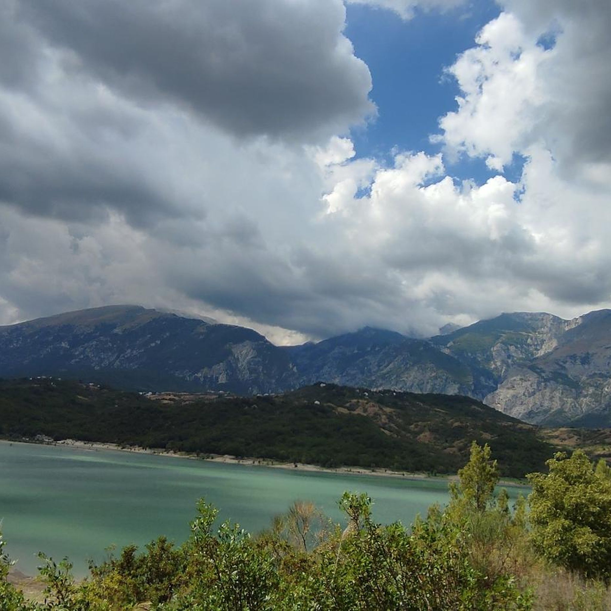
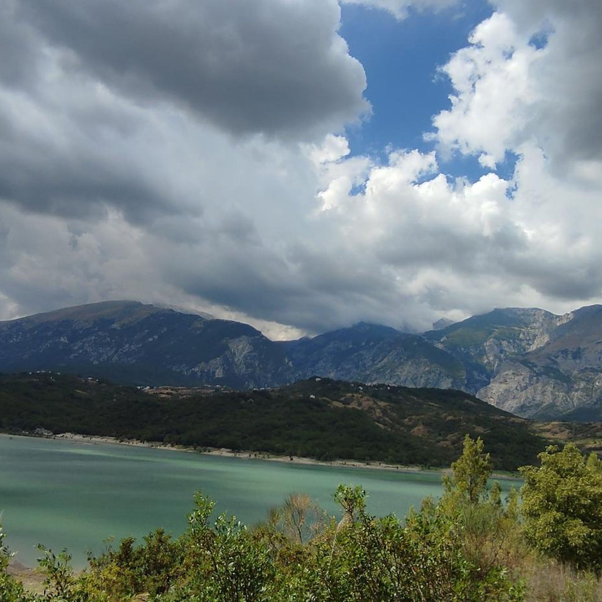
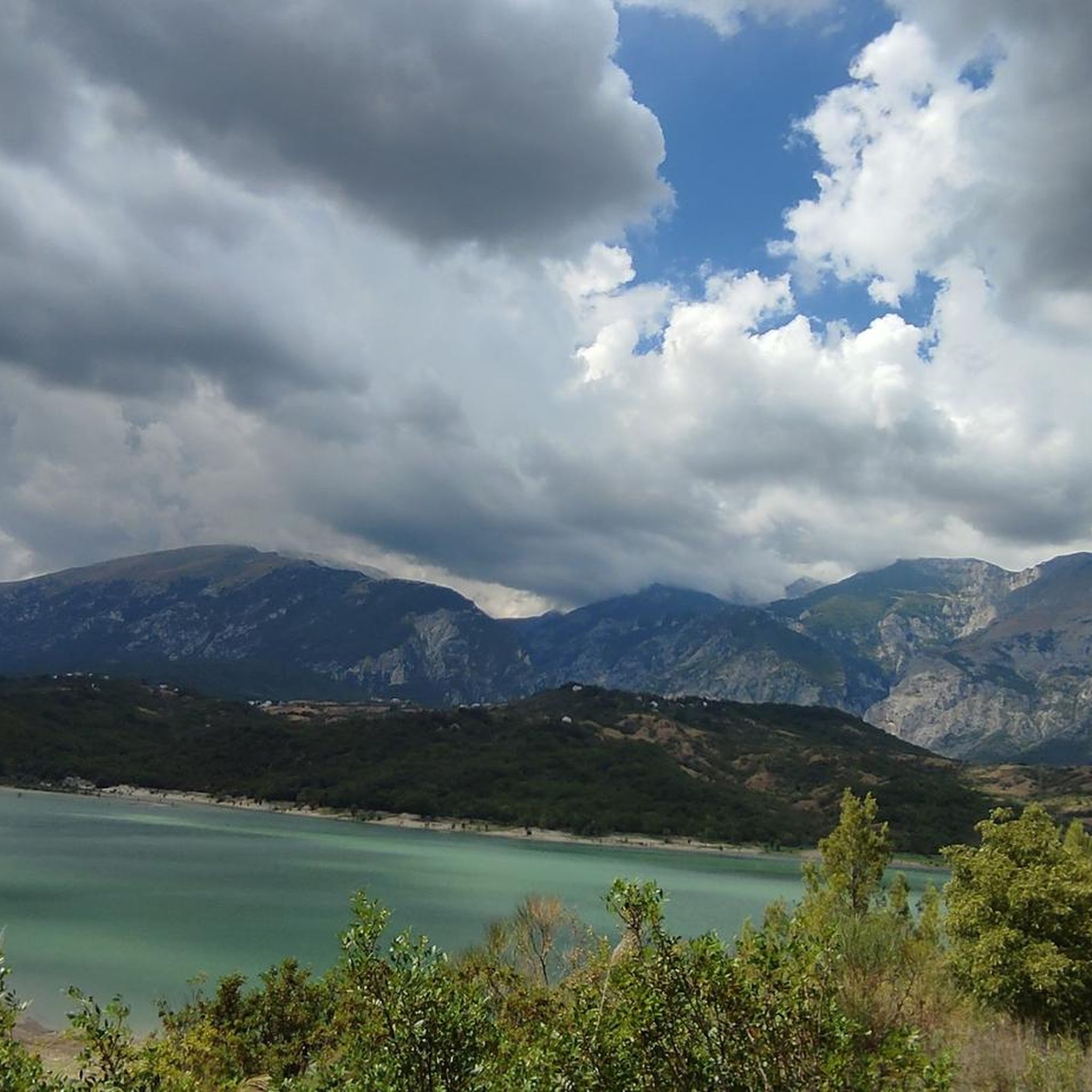
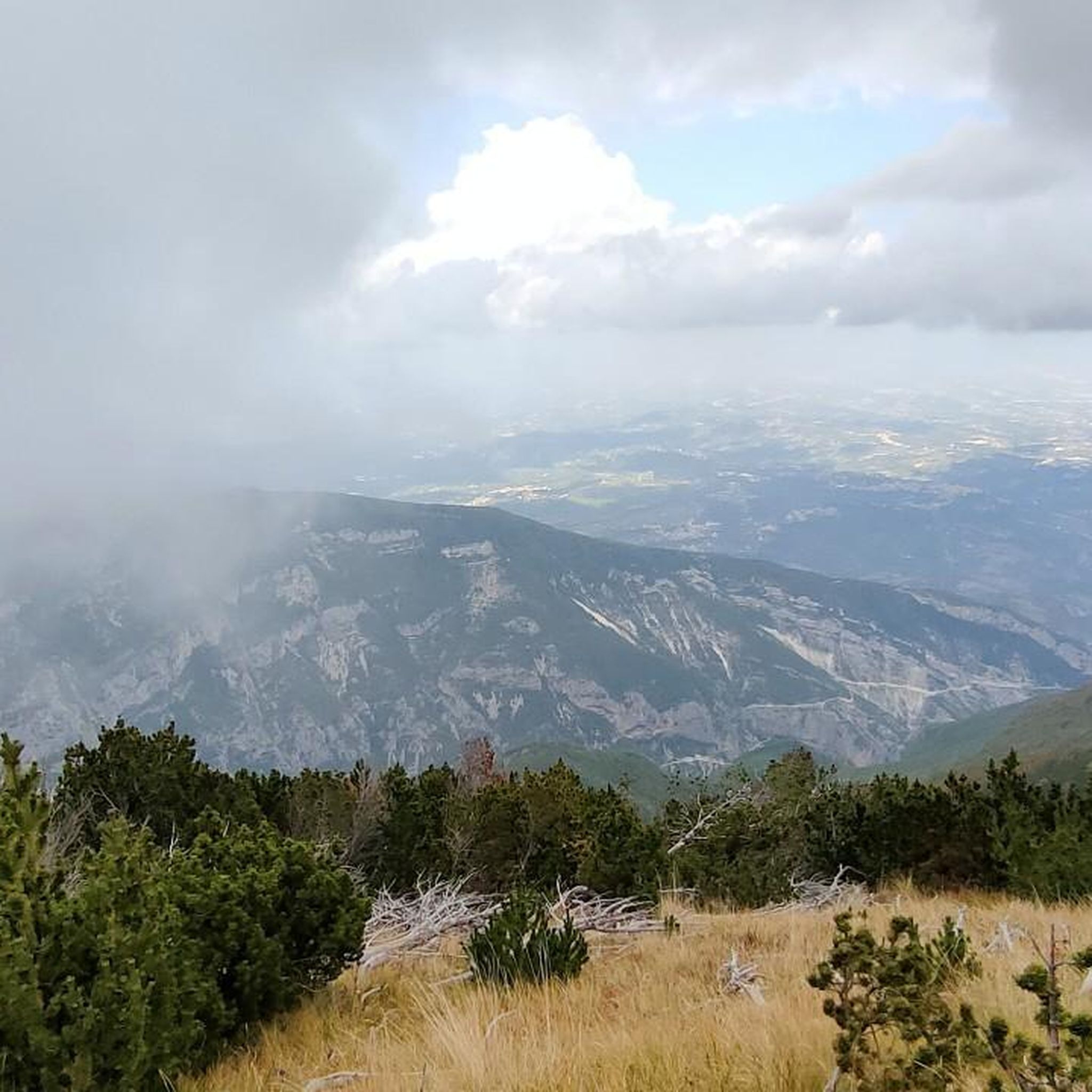
Tips from the Community


Coming from the Fara San Martino gorges, the route becomes less narrow, even if it requires concentration and caution. We then arrive at the Vallone di Santo Spirito, where we find an area with tables and water fountains for resting.
0
0
The Fara San Martino Gorges are one of the most fascinating places in the Majella, with a network of easy-to-follow paths.
0
0

After passing the narrow gorges of Fara San Martino the path widens and opens onto the Santo Spirito Valley. Along the route there are wooden tables and frozen water fountains. Legend has it that Fra Martino opened the mountain with his elbows to create an opening and allow the local inhabitants to reach the grassy clearings at the top of the mountain. Walking in these places you perfectly understand the origin of the legend. Magical places!
2
0
The gorges of Fara San Martino are among the most evocative and accessible places of the Majella. The route inside the gorges is easy and suitable for families. It allows you to get to know the mountain from the inside, through its very high rocks. For those who love challenges, from here they can undertake the climb to the summit of Mount Amaro and face the highest altitude difference in the Apennines!
3
0

Anyway worth a visit to see an old ruin in the middle of Abruzzo. Take enough water with you on hot days. On the way to this place you can see a waterfall and linger in the park at the De Cecco (noodles) company.
1
0

Panoramic road in the Majella park.
10
1

Between Palena and Lama dei Peligni the road is very scenic. South of the Majella National Park, slightly uphill (slightly downhill from Palena) with a view of the upper Aventine Valley.
3
0
Frequently Asked Questions
How many running routes are available around Gessopalena?
There are several dedicated running routes around Gessopalena, offering diverse experiences. The komoot community has mapped 7 routes in the area, ranging from moderate loops to challenging climbs through the region's unique landscapes.
What kind of terrain can I expect on the jogging trails near Gessopalena?
The terrain around Gessopalena is quite varied and distinctive. You'll encounter gypsum hills, wooded slopes, and deep gorges, particularly within the Majella National Park. Many routes offer panoramic views of the Aventino Valley and distant mountains, providing a visually engaging experience.
Are there running routes suitable for beginners or those looking for an easier run?
While many routes in the Gessopalena area are challenging, there is at least one moderate option available. For a less strenuous run, consider the Lago di Serranella loop from Archi, which offers a scenic path around the lake.
What natural features or landmarks can I see along the running routes?
The region is rich in natural beauty and historical sites. You can explore the dramatic Gorges of Fara San Martino, the evocative Vallone di Santo Spirito, and the serene Sources of the Verde River. Some trails also pass by the historic Castello di Roccascalegna or offer views of the unique 'ghost village' of Gessopalena's old town.
Are there any challenging running trails for experienced runners?
Yes, Gessopalena is well-suited for experienced runners seeking a challenge. Most of the routes in the area are graded as difficult, featuring significant elevation gain and varied terrain. A popular choice is the Race from Fara San Martino to Vallone di Santo Spirito, which winds through dramatic gorges and involves substantial climbing.
What do other runners enjoy most about jogging in Gessopalena?
The running routes around Gessopalena are highly rated by the komoot community, with an average score of 5.0 stars. Runners often praise the unique gypsum landscape, the stunning panoramic views of the Aventino Valley, and the diverse terrain that makes for engaging and memorable runs.
Can I find circular jogging routes in the Gessopalena area?
Yes, there are several circular jogging routes available. For example, the Lago di Serranella loop from Archi offers a moderate circular path around the lake. Another option is the Running loop from Lama dei Peligni, which provides a longer, more challenging circular experience.
Are there any waterfalls or caves to discover near the running trails?
Absolutely! The region boasts natural wonders like the Waterfall in Gola di Pennadomo, which can be a refreshing sight. You might also encounter the Sant'Angelo Cave, adding an element of exploration to your run.
What is the best time of year to go running in Gessopalena?
Gessopalena, being part of the Majella National Park, offers beautiful conditions for running during spring, summer, and early autumn. These seasons provide pleasant temperatures and vibrant natural scenery. Always check local weather conditions, especially for higher elevation routes, as conditions can change.
Are there any routes that pass through the historic old town of Gessopalena?
While specific routes directly through the 'ghost village' of Gessopalena's old town are not detailed in the provided data, the unique historical and cultural elements of the old town are a significant feature of the area. Jogging in the vicinity offers a distinctive historical backdrop, and local paths often provide views of these ancient ruins.
What is the longest running route available in the area?
The longest running route listed is the Gole di Fara San Martino loop from Fara San Martino. This challenging trail spans approximately 20.7 miles (33.3 km) and features significant elevation changes, making it suitable for endurance runners.
Most popular attractions around Gessopalena

Get inspired with the komoot mobile app


Explore more
Browse the best Running Trails & Routes in other regions.
