The best walks and hikes around Collarmele
4.5
(379)
1,888
hikers
59
hikes
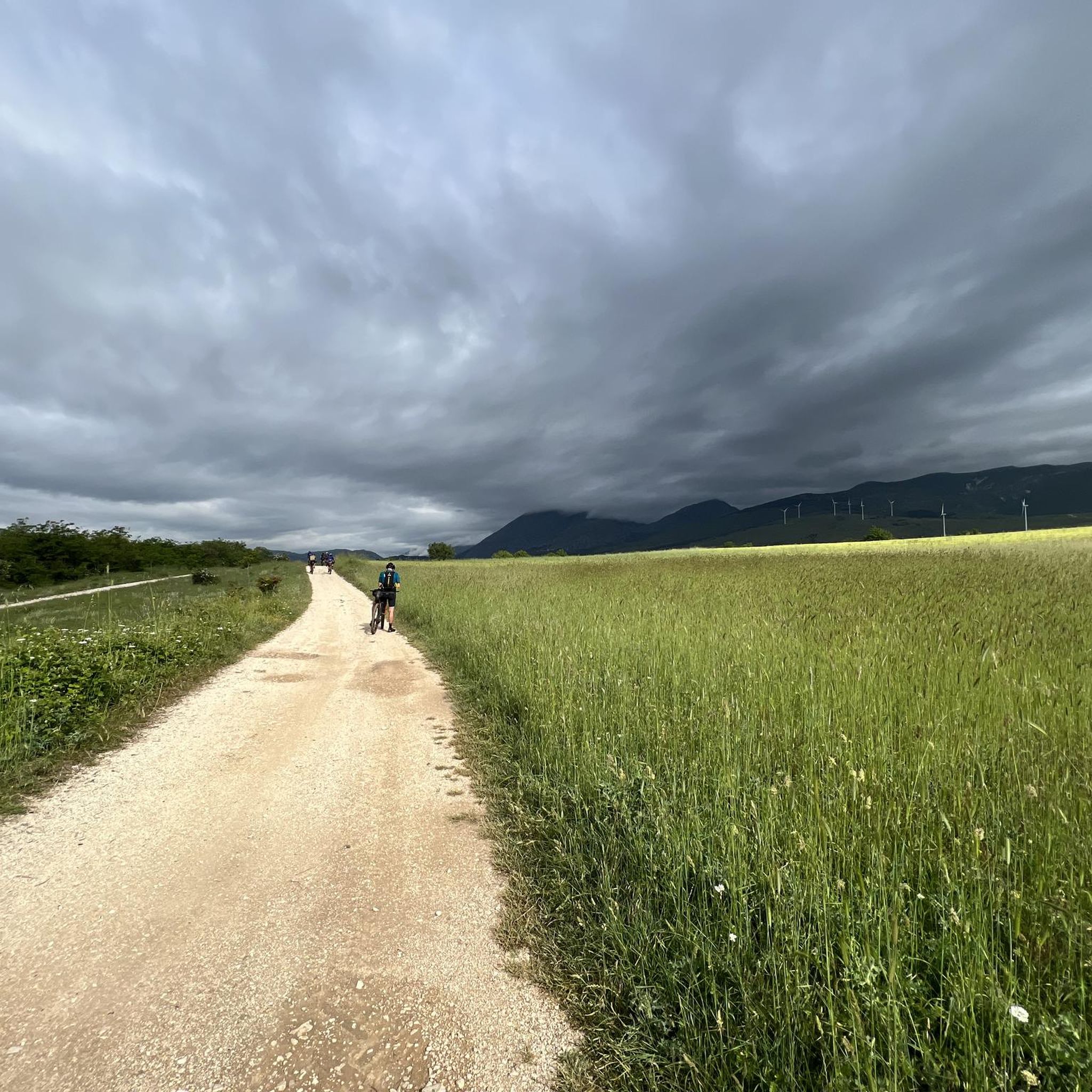
Hiking trails around Collarmele are situated in Italy's Abruzzo region, characterized by Apennine valleys, mountains, and a landscape of woods, rolling hills, and streams. The area is located near the Sirente Velino Regional Park, Majella Park, Monte Salviano Nature Reserve, and Abruzzo, Lazio and Molise National Park. This position offers access to diverse natural features and mountain vistas.
Best hiking trails around Collarmele
- The most popular hiking route is Monte Etra Summit Cross loop from Aielli, a 6.5 miles…
Last updated: July 5, 2026
4.7
(102)
403
hikers
9.12km
03:08
480m
480m
Moderate hike. Good fitness required. Mostly accessible paths. Sure-footedness required.
4.1
(9)
36
hikers
19.2km
07:30
1,180m
1,180m
Hard hike. Very good fitness required. Mostly accessible paths. Sure-footedness required.

Sign up for free
4.3
(10)
69
hikers
4.69km
01:42
280m
280m
Moderate hike. Great for any fitness level. Mostly accessible paths. Sure-footedness required.
4.5
(13)
66
hikers
17.7km
05:53
770m
770m
Hard hike. Very good fitness required. Mostly accessible paths. Sure-footedness required.
5.0
(1)
10
hikers
21.4km
07:50
1,200m
1,210m
Hard hike. Very good fitness required. Mostly accessible paths. Sure-footedness required.
Get access to more routes and recommendations from other explorers.
Sign up for free
Already have an account?
Our route recommendations are based on thousands of hikes, rides, and runs completed by other people on komoot.
Start today with a free account
Your next adventure awaits.
Login or Signup
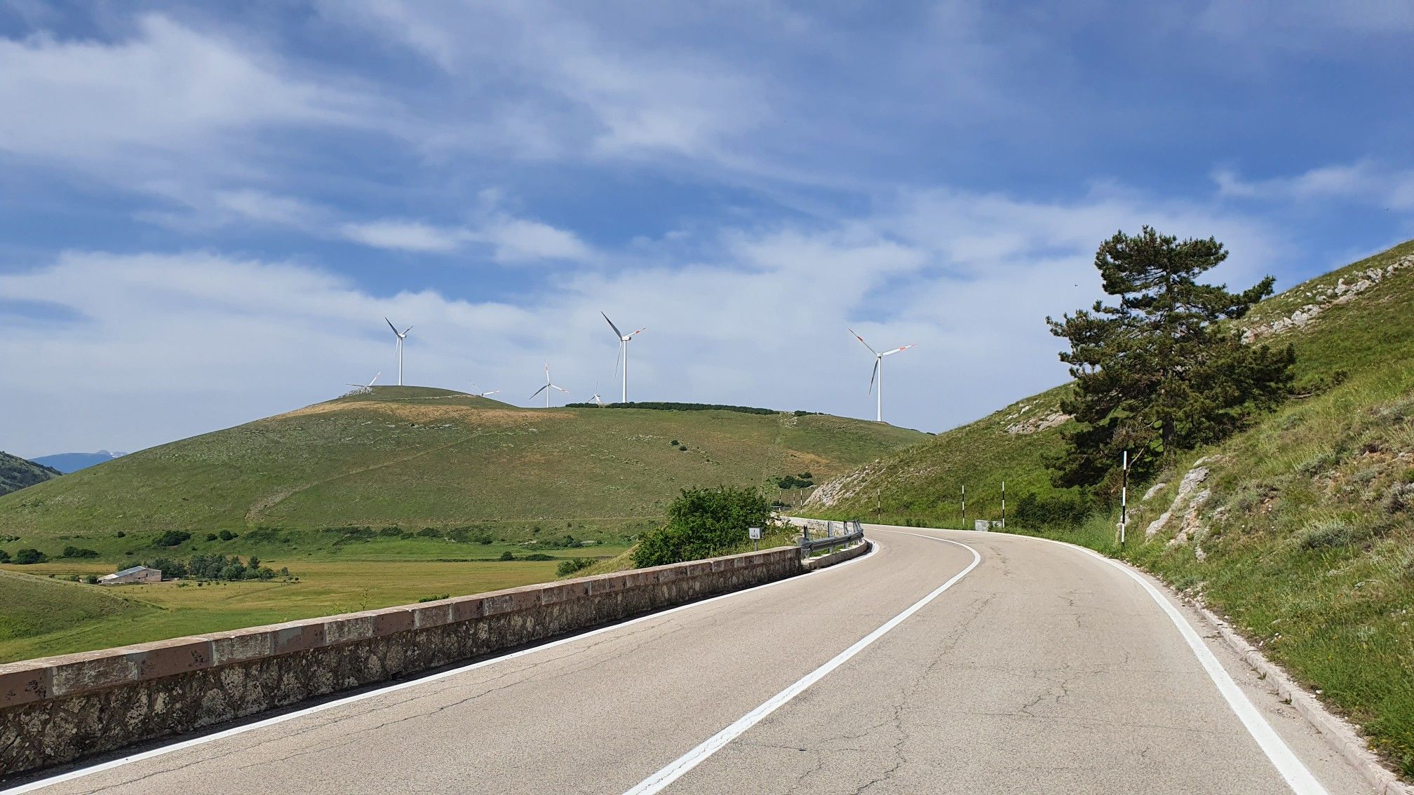
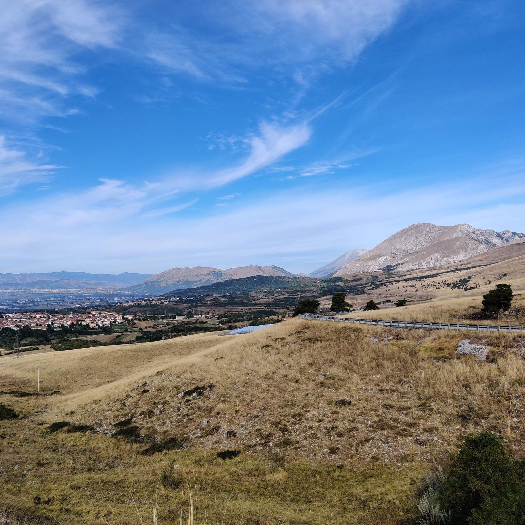
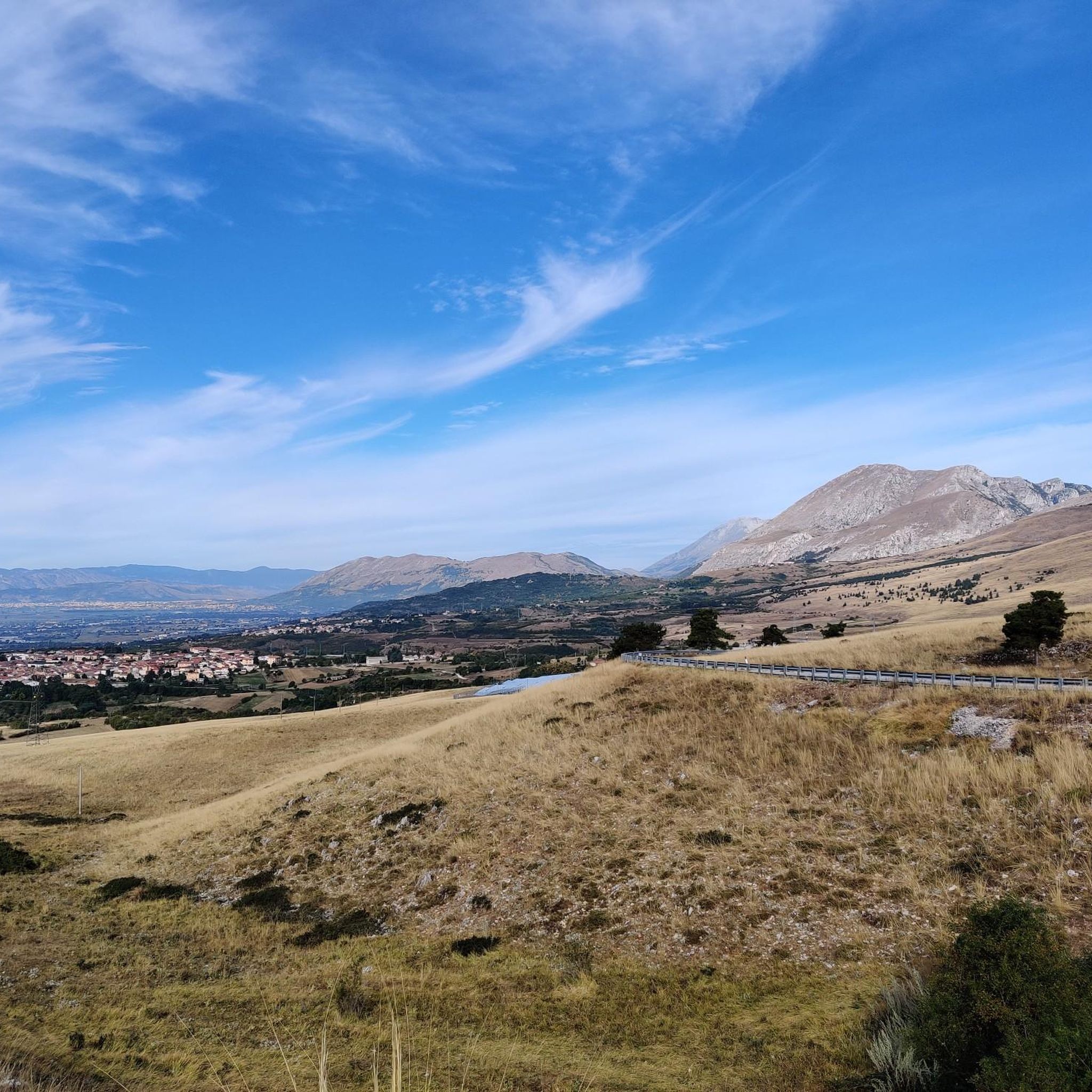
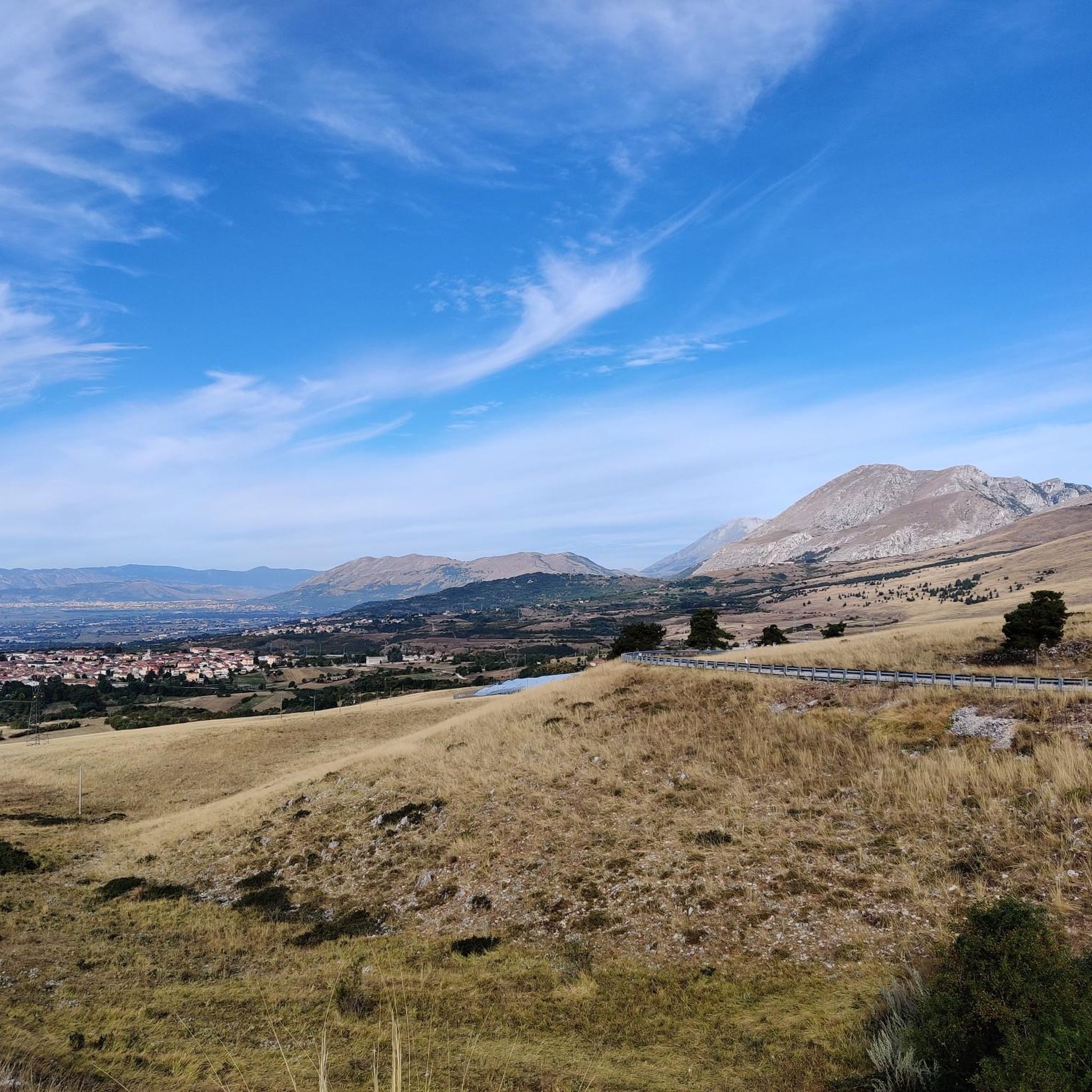
Other adventures around Collarmele

Tips from the Community

Access is limited to 80 people per day. Book slots at https://www.parcosirentevelino.it/gole_celano.php. The sign is only very small and clearly written in English. Hiking boots are required; children under 8 are not permitted.
0
0

The hike through the gorge isn't entirely easy. There are shoulder-high, polished rocks to overcome. Combined with water, it's a challenging undertaking.
0
0

Celeste68 - in fact, contrary to what Martina indicated, the stretch of the Celano gorges cannot be covered by mountain bike but only on foot
0
0

Quite big parking lot after a narrow road of a few kilometers. Panels with information & safety requirements. Avoid this trail in case of rain. It seems to be forbidden for children below 8.
0
0


The real Gorges are far ahead, but that's already a lot of stuff!
0
1

Monte Etra is a mountain in the Sirente-Velino group, inside the Regional Park. It is located between the Gole di Aielli-Celano and the Piani di Pezza, and is a rocky and sharp peak. You can go up from Ovindoli or from Aielli, following the marked paths.
1
0

Done today July 2, 2023 everything is fine ... a question and something changed between the throats of celano? Since we weren't able to pedal, we did everything on the shoulder
0
0
Frequently Asked Questions
How many hiking trails are available around Collarmele?
Collarmele offers a diverse network of over 50 hiking trails. These routes traverse the picturesque Apennine valleys, dense woodlands, and rolling hills of the Abruzzo region, providing a wide range of options for all skill levels.
What types of terrain and difficulty levels can I expect on Collarmele's hiking trails?
The trails around Collarmele feature varied terrain, from rolling hills and woodlands to more imposing mountain paths. You'll find options ranging from easy walks, with 11 routes categorized as such, to moderate treks (24 routes), and more challenging hikes (20 routes) that require good fitness and sure-footedness.
Are there any circular hiking routes in the Collarmele area?
Yes, many of the trails around Collarmele are designed as loops, allowing you to start and end at the same point. For example, the Mountain Water Trough loop from Aielli is a moderate 10.7 km route, and the more challenging Van Gogh Mural – Mountain Water Trough loop from Aielli covers 21.2 km.
What natural features or landmarks can I see while hiking near Collarmele?
The region is rich in natural beauty and historical sites. You can explore significant natural monuments like the Gorges of Celano and the beautiful Fonte degli Innamorati Waterfall. The trails also offer views towards historic sites such as Pescina Castle.
What is the best time of year to go hiking in Collarmele?
Collarmele is suitable for hiking across multiple seasons. Spring and autumn offer pleasant temperatures and vibrant landscapes, ideal for exploring. Summer provides warmer weather, perfect for higher altitude treks, while winter can offer unique snowshoeing opportunities, especially in the surrounding mountain parks.
Are there any family-friendly hiking options around Collarmele?
Yes, Collarmele offers several easy walks suitable for families. These trails typically have less elevation gain and shorter distances, allowing for an enjoyable outdoor experience with children. The region's diverse landscape ensures scenic routes for all ages.
Can I bring my dog on the hiking trails in Collarmele?
Many trails in the Collarmele area are dog-friendly, allowing you to enjoy the natural surroundings with your canine companion. However, it's always advisable to check specific trail regulations, especially within protected areas like the Sirente Velino Regional Park, and to keep dogs on a leash for their safety and to protect local wildlife.
What do other hikers say about the trails in Collarmele?
The hiking trails around Collarmele are highly regarded by the komoot community, boasting an average rating of 4.5 stars from over 250 reviews. Hikers frequently praise the diverse landscapes, from serene woodlands to impressive mountain vistas, and the variety of routes available for different skill levels.
Are there any challenging hikes for experienced trekkers near Collarmele?
Absolutely. For experienced hikers seeking a challenge, Collarmele offers 20 difficult routes. An example is the Start of the Real Gorges – Gorges of Celano loop from Cerchio, a demanding 22.2 km trail with significant elevation gain, providing a rewarding experience amidst rugged landscapes.
Are there opportunities for public transport to reach trailheads around Collarmele?
While some trailheads might be accessible by local public transport, many routes in the more remote parts of the Abruzzo region are best reached by car. It's recommended to check local bus schedules or consider car rental for maximum flexibility when planning your hikes around Collarmele.
Where can I find amenities like cafes or accommodation near the hiking trails?
Collarmele and nearby villages offer various amenities. You can find cafes and local eateries in the historic centers, perfect for a post-hike refreshment. Accommodation options, including guesthouses and B&Bs, are also available in the area, providing a comfortable base for exploring the region.
What is the typical duration and distance of hikes around Collarmele?
Hikes around Collarmele vary significantly in duration and distance. Shorter, easier walks might take 1-2 hours, while moderate trails like the Pescina Castle loop from Pescina typically take around 4 hours to complete 11 km. More challenging routes, such as the Van Gogh Mural – Mountain Water Trough loop from Aielli, can extend to 7 hours or more for 21.2 km.
Most popular attractions around Collarmele

Get inspired with the komoot mobile app


Explore more
Browse the best Hikes in other regions.
