The best walks and hikes around Licenza
4.3
(1221)
4,122
hikers
124
hikes
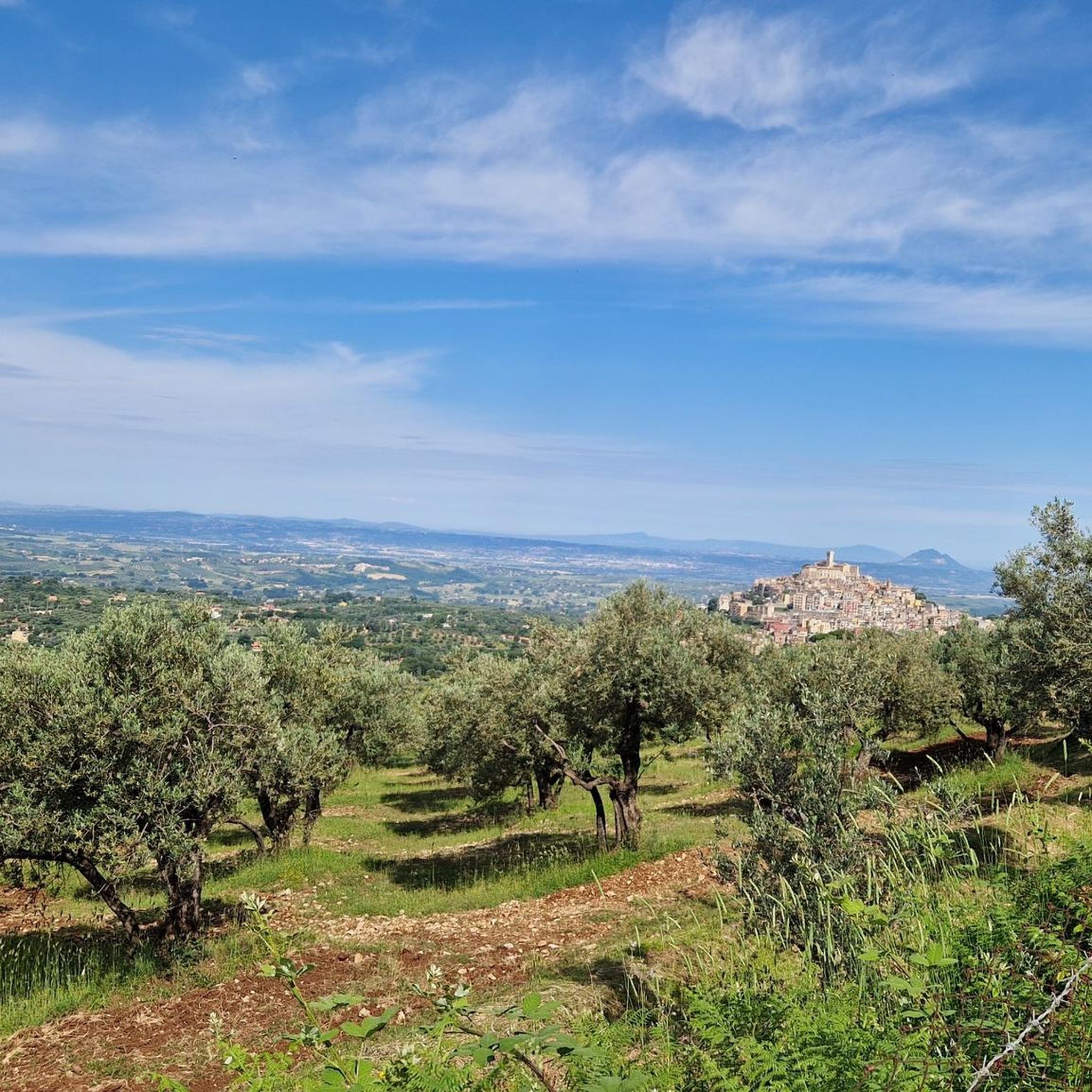
Hiking around Licenza offers a diverse landscape characterized by the foothills of the Monti Lucretili, featuring a mix of woodlands, streams, and open hillsides. The terrain includes varied elevations, from gentle valley paths to more challenging ascents towards peaks like Monte Guardia. This area provides a network of trails that traverse natural springs and offer views of the surrounding countryside.
Best hiking trails around Licenza
- The most popular hiking route is Licenza to the ring of Monte Guardia, a 12.1 miles (19.5 km) trail that takes 6 hours 35 minutes to complete. This difficult route features significant elevation gain and leads to the Monte Guardia ring.
- Another top favourite among local hikers is Lagustelli di Percile – Fontanile of the Monti Lucretili loop from Licenza, a moderate 9.1 miles (14.7 km) path. This trail explores the natural springs and forested areas of the Monti Lucretili.
- Local hikers also love the Pisciarello Stream – Maricella Stream Waterfall loop from Licenza, a 3.1 miles (5.0 km) trail leading through stream valleys and past waterfalls, often completed in about 1 hour 40 minutes.
- Hiking around Licenza is defined by its stream-fed valleys, forested slopes, and the hills of the Monti Lucretili. The network offers options for easy family friendly hikes as well as more challenging ascents.
- The routes in Licenza are highly rated by the komoot community with an average score of 4.3 stars from over 1,100 reviews. More than 4,000 hikers have used komoot to explore Licenza's varied terrain.
Last updated: July 5, 2026
4.4
(107)
335
hikers
12.1km
03:32
310m
310m
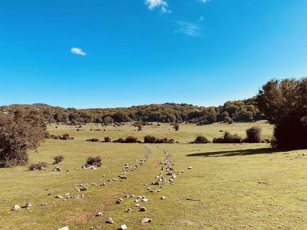
Embark on a moderate hike from the charming village of Percile to the unique Lagustelli, covering 7.5 miles (12.1 km) with an elevation gain of 1026 feet (313 metres). This route typically takes around 3 hours and 31 minutes to complete, leading you through diverse woodlands of oak and hornbeam, open meadows, and areas of marsh vegetation. You will encounter varied terrain, including paved, unpaved, gravel, and natural surfaces, all while enjoying panoramic views of the Lazio Apennines and potentially spotting grazing cows and horses.
Planning your visit is straightforward, as the paths within the Monti Lucretili Regional Natural Park are generally well-signposted. Look for clear white and red markings and arrows that often include estimated times to various destinations, helping you navigate with ease. Starting your journey from Percile offers a convenient access point to this picturesque natural area.
The highlight of this trail is undoubtedly the Lagustelli themselves: two distinctive karst lakes, Fraturno and Marraone, formed by natural sinkholes. These lakes are known for their clear, sometimes turquoise waters and are surrounded by trees, creating a serene atmosphere. The area boasts a rich biodiversity, with opportunities for birdwatching and the presence of indicator species like crayfish and spectacled salamanders in the clear lake waters, showcasing a healthy ecosystem. Furthermore, Percile, your starting point, is recognized as one of "Italy's Most Beautiful Villages," adding a cultural dimension to your outdoor adventure.
4.5
(6)
19
hikers
Hard hike. Very good fitness required. Mostly accessible paths. Sure-footedness required.

Sign up for free
3.9
(7)
12
hikers
19.5km
06:35
790m
780m
Hard hike. Very good fitness required. Sure-footedness, sturdy shoes and alpine experience required.
4.6
(25)
84
hikers
8.56km
02:45
380m
380m
Moderate hike. Good fitness required. Easily-accessible paths. Suitable for all skill levels.
4.2
(12)
40
hikers
Moderate hike. Good fitness required. Easily-accessible paths. Suitable for all skill levels.
Get access to more routes and recommendations from other explorers.
Sign up for free
Already have an account?
Our route recommendations are based on thousands of hikes, rides, and runs completed by other people on komoot.
Start today with a free account
Your next adventure awaits.
Login or Signup
Other adventures around Licenza

Tips from the Community

View of Lake Marraone, not reachable because the path is closed due to dangerous banks.
0
0

Beautiful meadow on the slopes of Mount Follettoso
0
0
Beautiful source of drinking water
1
0


Be careful that to proceed you have to cross a ford without a bridge
1
0
beautiful lawn and fountain
1
1
Frequently Asked Questions
How many hiking trails are available in Licenza?
Licenza offers a network of over 10 hiking routes, catering to various skill levels. These trails explore the diverse landscape of the Monti Lucretili foothills, including woodlands, streams, and open hillsides.
Are there easy hiking options suitable for beginners or casual walkers in Licenza?
Yes, Licenza has easy hiking options. For instance, the Pisciarello Stream – Maricella Stream Waterfall loop from Licenza is an easy 3.1-mile (5.0 km) trail that takes about 1 hour 40 minutes, leading through stream valleys and past waterfalls.
Can families with children find suitable hikes in Licenza?
Absolutely. The area offers options for family-friendly hikes, particularly those that are shorter and have less elevation gain. The natural springs and stream-fed valleys provide engaging features for children to explore.
Are there any circular hiking routes around Licenza?
Many trails in Licenza are designed as loops, offering varied scenery without retracing your steps. An example is the Lagustelli di Percile – Fontanile of the Monti Lucretili loop from Licenza, a moderate 9.1-mile (14.7 km) path exploring natural springs and forested areas.
Where can I find waterfalls or natural springs on hikes in Licenza?
The region is characterized by its stream-fed valleys and natural springs. You can find waterfalls along routes like the Pisciarello Stream – Maricella Stream Waterfall loop. The Rioscuro Stream Waterfalls are another notable natural monument in the area.
What kind of terrain can I expect on hikes in Licenza?
Hiking around Licenza features a diverse landscape, from gentle valley paths to more challenging ascents. You'll encounter woodlands, streams, open hillsides, and varied elevations as you traverse the foothills of the Monti Lucretili.
Are there any historical sites or landmarks to see while hiking in Licenza?
Yes, the area around Licenza offers several points of interest. You can explore historical sites such as the Ruins of Stazzano Vecchio or the Morella Ruins. The region also features charming settlements like Cineto Romano and Orvinio.
What is the best time of year to go hiking in Licenza?
The best time to hike in Licenza is typically during spring and autumn when the weather is mild and the natural scenery is vibrant. These seasons offer comfortable temperatures for exploring the woodlands and open hillsides, avoiding the summer heat or potential winter snow at higher elevations.
Are dogs allowed on the hiking trails in Licenza?
While many trails in Italy are dog-friendly, it's always recommended to check specific local regulations or park rules for each route. Generally, dogs should be kept on a leash, especially in protected areas or when encountering wildlife.
How long do hikes in Licenza typically take?
Hike durations in Licenza vary significantly. Shorter, easy trails like the Pisciarello Stream loop can be completed in under 2 hours, while more challenging routes such as Licenza to the ring of Monte Guardia can take over 6 hours due to their length and elevation gain.
What do other hikers say about the trails in Licenza?
The hiking routes in Licenza are highly rated by the komoot community, with an average score of 4.3 stars from over 1,100 reviews. Hikers often praise the varied terrain, the beauty of the natural springs, and the well-maintained paths through the Monti Lucretili.
Are there options for more challenging hikes in the Licenza area?
Yes, Licenza offers several difficult routes for experienced hikers. For example, the Pizzo Pellecchia – Summit of Monte Pellecchia loop from Licenza is a challenging 13.9-mile (22.4 km) trail with over 1000 meters of elevation gain, leading to significant summits.
Is public transport available to reach trailheads in Licenza?
Public transport options to specific trailheads in rural areas like Licenza can be limited. It's advisable to check local bus schedules or consider driving to access the starting points of many hikes. Some routes might be accessible from the town center itself.
Can I find places to explore beyond just hiking trails in Licenza?
Beyond the hiking trails, the region around Licenza offers natural and historical attractions. You can visit the Lagustelli di Percile, a beautiful lake, or explore the Pizzo Pellecchia summit for panoramic views. The area also features various castles and historical settlements.
Most popular attractions around Licenza

Get inspired with the komoot mobile app


Explore more
Browse the best Hikes in other regions.
