The best running trails around Monteflavio
4.5
(13)
701
runners
28
runs
Jogging routes around Monteflavio are set within the Monti Lucretili Regional Nature Park, offering diverse terrain for runners. The region is characterized by its elevation at 900 meters above sea level, featuring dense beech and conifer forests, and prominent karst reliefs. Trails often traverse rolling hills and lead towards higher elevations like Monte Pellecchia, the highest peak in the Lucretili Mountains. Expansive clearings such as the Monte Gennaro Meadow also provide open spaces for running.
Best jogging routes around Monteflavio
…Last updated: July 5, 2026
4.3
(4)
121
runners
11.2km
01:47
730m
730m
Hard run. Very good fitness required. Mostly paved surfaces. Suitable for all skill levels.
4.2
(5)
139
runners
Hard run. Very good fitness required. Mostly paved surfaces. Suitable for all skill levels.

Sign up for free
106
runners
18.7km
03:00
1,160m
1,160m
Hard run. Very good fitness required. Sure-footedness, sturdy shoes and alpine experience required.
6
runners
Hard run. Very good fitness required. Mostly paved surfaces. Suitable for all skill levels.
21
runners
7.32km
01:15
520m
520m
Hard run. Very good fitness required. Mostly paved surfaces. Suitable for all skill levels.
Get access to more routes and recommendations from other explorers.
Sign up for free
Already have an account?
Our route recommendations are based on thousands of hikes, rides, and runs completed by other people on komoot.
Start today with a free account
Your next adventure awaits.
Login or Signup
Other adventures around Monteflavio

Tips from the Community

Flat spot before the ascent of Monte Gennaro
0
0

Suggestive to say the least, very low grass and populated by cows and horses. An excellent refreshment point before the summit!
0
1
Pratone landmark. Unfortunately for the conditions in which it concerns, full of manure and plastic.
0
0
Visible from miles away, and far from ancient, it represents one of the symbols of the mountain. For the more athletic and risk-takers there is also an iron staircase planted inside which would allow you to climb to the top of the tower. It is strongly not recommended judging by the stability of the structure.
0
0

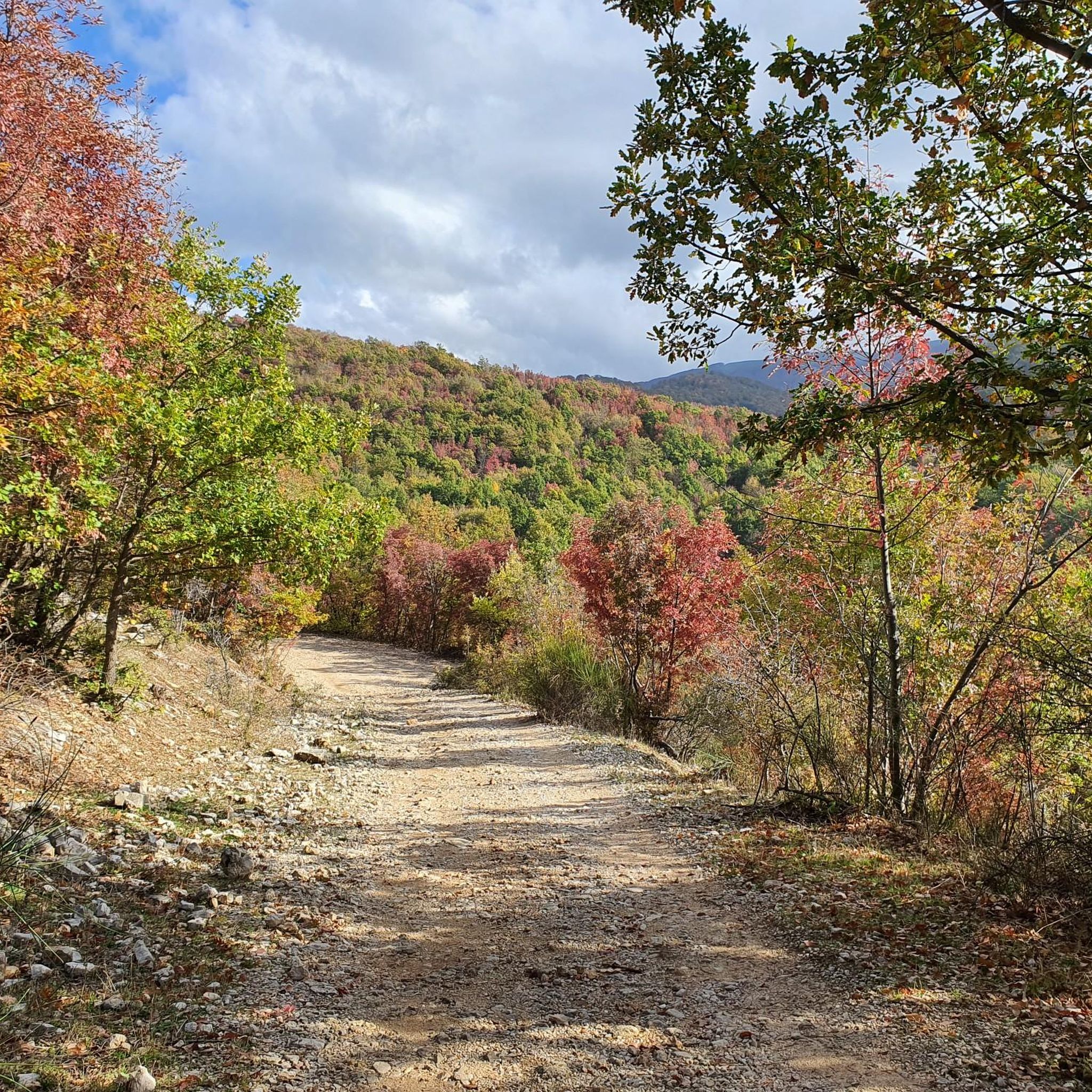
Fantastic high altitude trail
0
0

This refuge is an excellent shelter and a good stopping point before tackling the uphill stretch to Mount Pellecchia. The portico and the tables are always accessible, while the indoor part is managed by the Municipality of Monteflavio and to stay overnight inside you have to ask them for the key.
1
0

More than a trail marker, this ancient beech tree is a timepiece! Perhaps this is why some of its protruding roots protect a small improvised nativity scene. The "troscia" indicates the puddle of water that you come across on the path just south of the beech tree.
0
0
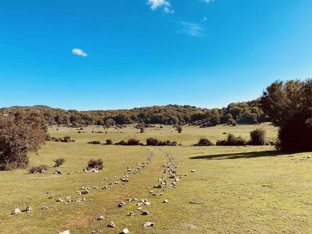
Large grassy clearing of karst nature, one kilometer long and about 500 meters wide. For hundreds of years it has been the destination of the transhumance of local shepherds. Today you can admire horses and cows grazing in the wild.
1
0
Frequently Asked Questions
How many running trails are available around Monteflavio?
The Monti Lucretili Regional Nature Park, which encompasses Monteflavio, offers an extensive network of trails. Specifically for jogging, komoot lists over 25 routes in the area, providing diverse options for runners.
What kind of terrain can I expect on the running trails near Monteflavio?
You can expect a varied landscape, from dense beech and conifer forests to open clearings like the Monte Gennaro Meadow. Many routes feature karst reliefs and lead towards higher elevations, offering a mix of challenging ascents and scenic paths. The village itself is nestled on the slopes of Monte Pellecchia, so mountain views are common.
Are there easy jogging routes suitable for beginners in Monteflavio?
While many routes in Monteflavio are classified as difficult due to significant elevation changes, there are some moderate options available. For example, routes with up to 1,000 ft of elevation gain and easily accessible paths are well-suited for a steady pace. It's advisable to check individual route details for specific difficulty ratings.
Are there any circular running routes available?
Yes, many of the running trails around Monteflavio are designed as loops. For instance, the challenging Monte Gennaro – Rifugio M. Gennaro loop from Palombara Sabina is a popular circular option, as is the Monte Morrone della Croce loop from Palombara Sabina, which takes you through forested areas.
What natural features or landmarks can I see while jogging?
Joggers can encounter a variety of natural and historical points of interest. You might pass by the expansive Monte Gennaro Meadow, or the picturesque Lagustelli di Percile. Higher routes, such as those near Pizzo Pellecchia, offer panoramic views. Historical remnants like the ruins of the Castle of Montefalco or the Church of Maria SS. Assunta also add cultural interest.
Are the running trails around Monteflavio dog-friendly?
The Monti Lucretili Regional Nature Park generally welcomes dogs on its trails, but it's always recommended to keep them on a leash, especially in areas where livestock (like the horses and cows in Monte Gennaro Meadow) graze freely or where wildlife is present. Always check specific park regulations before heading out.
Are there any mountain huts or rest stops along the routes?
Yes, the Casa del Pastore Mountain Hut serves as an excellent refuge and a convenient stopping point along some routes, including an 8.0 km loop through forested areas starting from Monteflavio.
What is the typical length of running trails in the area?
The running trails around Monteflavio vary significantly in length. You can find shorter routes like the Monte Morrone della Croce loop from Palombara Sabina, which is about 7.4 km (4.6 miles), up to longer, more challenging trails like the Monte le Ferule – Colle dei Ciociari loop from Palombara Sabina, spanning over 20 km (12.4 miles).
What do other runners say about the trails in Monteflavio?
The running routes in Monteflavio are highly rated by the komoot community, with an average score of 4.3 stars from 9 reviews. Over 655 runners have used komoot to explore the varied terrain, often praising the diverse landscapes, challenging ascents, and the natural beauty of the Monti Lucretili Regional Nature Park.
Is there public transport to Monteflavio?
Monteflavio is located about 55 km from Rome. While there are local bus services in the Lazio region, direct public transport options to Monteflavio can be limited. For detailed and up-to-date information on bus schedules and connections, it's best to consult local transport providers or the official tourism website for the Lazio region: visitlazio.com.
Are there parking options near the trailheads in Monteflavio?
Yes, Monteflavio and surrounding areas typically offer parking facilities, especially near popular trailheads or village centers. Given its nature as an outdoor activity hub, you can usually find suitable parking to access the running routes. It's always a good idea to check specific starting points for designated parking areas.
What is the best time of year for jogging in Monteflavio?
Monteflavio, situated at 900 meters above sea level, offers pleasant conditions for jogging during spring, early summer, and autumn. The dense forests provide shade during warmer months, while the cooler temperatures of spring and autumn are ideal for longer runs. Winter jogging is possible but may require appropriate gear due to snow or colder conditions at higher elevations.
Most popular attractions around Monteflavio

Get inspired with the komoot mobile app


Explore more
Browse the best Running Trails & Routes in other regions.
