The best running trails around Massa D'Albe
4.4
(22)
1,722
runners
232
runs
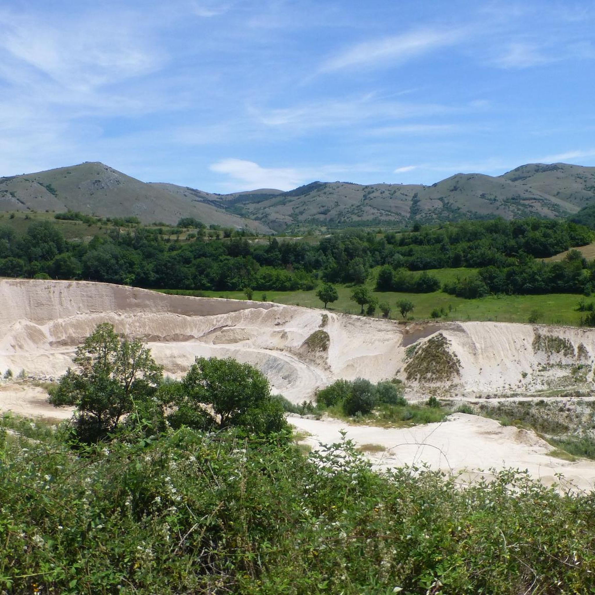
Jogging around Massa D'Albe offers a diverse landscape characterized by mountainous terrain, including prominent peaks like Monte Velino and Monte Cafornia. The region features high-altitude paths and routes through natural parks, providing varied challenges for runners. Ancient historical sites, such as those near Alba Fucens, also form part of the running experience.
Best jogging routes around Massa D'Albe
- The most popular jogging route is Monte Velino and Monte Cafornia Loop, a 8.3 miles (13.3 km) trail that takes 4…
Last updated: July 7, 2026
10
runners
13.3km
04:23
1,330m
1,330m
Embark on the Monte Velino and Monte Cafornia Loop, a difficult jogging route spanning 8.3 miles (13.3 km) with a significant elevation gain of 4364 feet (1330 metres). You can…
5
runners
Hard run. Very good fitness required. Sure-footedness, sturdy shoes and alpine experience required.

Sign up for free
2
runners
12.3km
04:17
1,260m
1,270m
This difficult 7.6-mile jogging loop on Monte Velino offers panoramic views and a challenging ascent with 4149 feet of elevation gain.
4.0
(1)
1
runners
19.1km
03:54
1,250m
1,250m
Hard run. Very good fitness required. Sure-footedness, sturdy shoes and alpine experience required.
81
runners
Hard run. Very good fitness required. Mostly paved surfaces. Suitable for all skill levels.
Get access to more routes and recommendations from other explorers.
Sign up for free
Already have an account?
Our route recommendations are based on thousands of hikes, rides, and runs completed by other people on komoot.
Start today with a free account
Your next adventure awaits.
Login or Signup

Other adventures around Massa D'Albe

Tips from the Community

Crazy view and excellent refreshment
0
0

beautiful recently renovated refuge
1
1

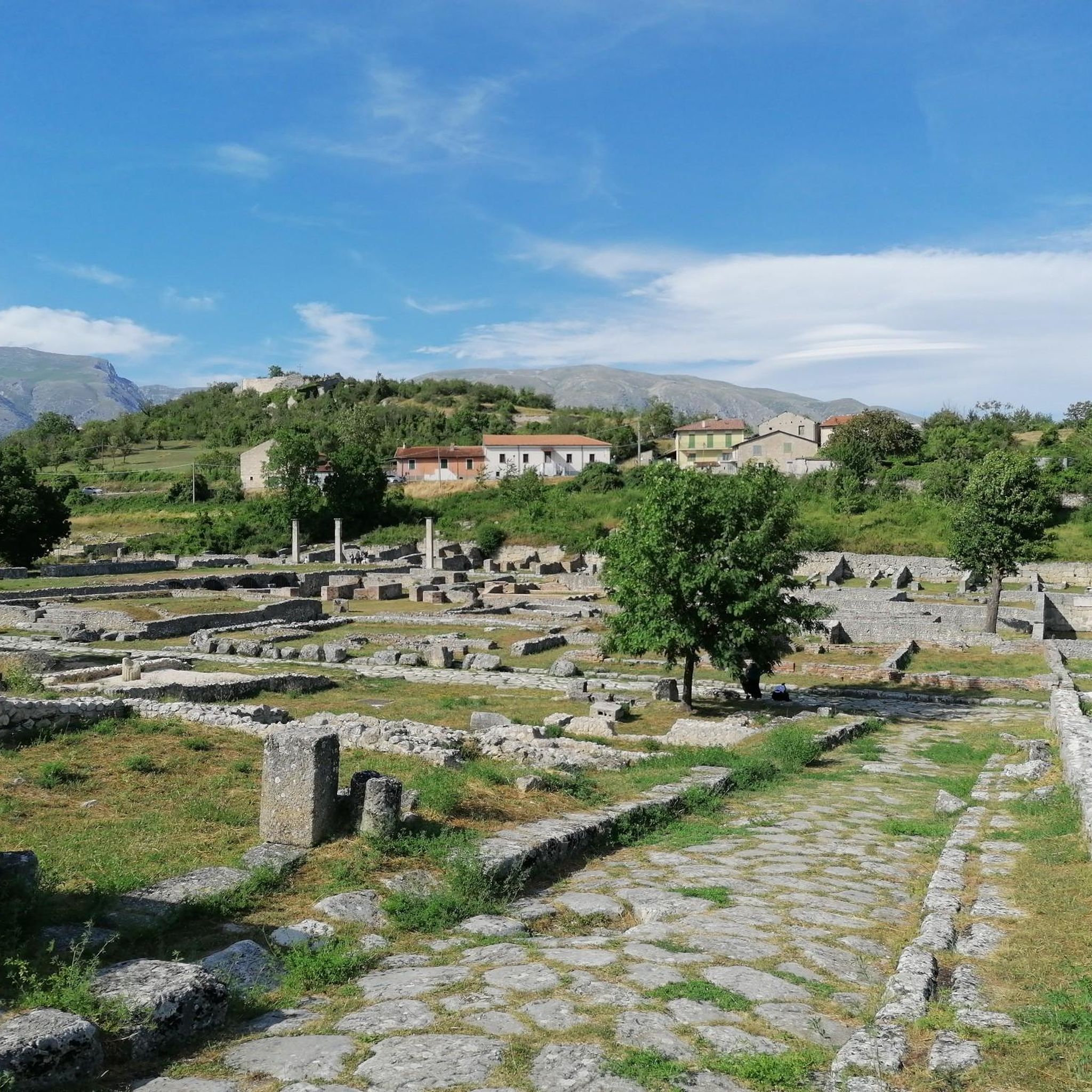
"Alba Fucens is an ancient Roman colony located in the Abruzzo region of Italy. It was founded in the 4th century BC as a Latin colony and was located on a well-fortified hill of approximately 34 hectares at an altitude of 966 meters above sea level."
0
0

Crossroads of clearly visible paths, but with outdated and unclear information panels. Pay attention to the map to understand where to go.
0
0
Monte Magnola is a mountain of 2220 meters, in the Sirente-Velino Regional Natural Park, in Abruzzo. It is located near the town of Ovindoli, and is a favorite destination for winter sports and trekking enthusiasts. It offers breathtaking views of the Rocche plateau and Mount Sirente.
0
0
The Panei Magrini refuge is a mountain refuge located at 2178 meters above sea level, in the Sirente-Velino Regional Natural Park. It is located in a panoramic and suggestive position, between the peaks of Monte Magnola and Monte Sirente.
0
0
Capo Pezza is a locality in Piani di Pezza, near Rovere, in the Sirente-Velino Regional Natural Park. It is a starting point for various excursions, including the one that leads to the Sebastiani refuge and to the peaks of Punta Trento and Punta Trieste, along the crest of Monte Sirente.
0
0
Punta Trieste is a peak in the Abruzzo Apennines, in the Sirente-Velino Regional Natural Park. It has a height of 2230 meters, and forms a ridge with Punta Trento to the north.
0
0
Frequently Asked Questions
How many running routes are available around Massa D'Albe?
There are nearly 200 running routes documented on komoot for the Massa D'Albe region. These routes cater to various difficulty levels, from moderate to difficult, offering diverse experiences across the mountainous terrain.
Are there any easy jogging routes in Massa D'Albe for beginners?
While many routes in Massa D'Albe are rated moderate to difficult due to the mountainous terrain, there are 12 routes specifically categorized as easy. These are ideal for beginners or those looking for a less strenuous run. You can filter routes by difficulty on komoot to find them.
What kind of terrain can I expect on jogging trails in Massa D'Albe?
Jogging trails in Massa D'Albe are characterized by diverse mountainous terrain, including prominent peaks like Monte Velino and Monte Cafornia. You'll find high-altitude paths, challenging ascents, and scenic trails within natural parks, offering a true mountain running experience.
Are there any circular running routes in Massa D'Albe?
Yes, many of the running routes in Massa D'Albe are circular, allowing you to start and finish at the same point. For example, the Monte Velino and Monte Cafornia Loop is a challenging 13.3 km circular route, and the Punta Trento e Punta Trieste – loop run from Rifugio Sebastiani also offers a high-altitude loop.
What historical sites or landmarks can I see while running in Massa D'Albe?
The region around Massa D'Albe is rich in history. You can explore ancient historical sites, such as those near Alba Fucens. Consider the Ancient Road of Alba Fucens – Amphitheater of Alba Fucens loop from Antrosano, which takes you past significant archaeological remains.
Are there any natural attractions or points of interest along the running routes?
Absolutely! The area boasts several natural attractions. You might encounter the stunning Fonte degli Innamorati Waterfall or the dramatic Gorges of Celano. Other notable natural spots include Duchess Lake and the expansive Piani di Pezza.
What do other runners say about the jogging routes in Massa D'Albe?
The running routes in Massa D'Albe are highly rated by the komoot community, with an average score of 4.6 stars from over 20 reviews. Runners often praise the challenging ascents, panoramic views, and the opportunity to explore natural parks and high mountain peaks.
Are there any long-distance running options for experienced runners?
Yes, for experienced runners seeking longer distances, routes like the Rifugio Panei-Magrini and Monte Magnola loop offer a challenging 19.1 km run with significant elevation gain, perfect for endurance training in a stunning mountain environment.
What is the best time of year for jogging in Massa D'Albe?
Given the mountainous terrain and high-altitude paths, late spring, summer, and early autumn generally offer the most favorable conditions for jogging in Massa D'Albe. During these seasons, trails are typically clear of snow, and the weather is more stable, providing pleasant temperatures for outdoor activity. Winter can be challenging due to snow and ice at higher elevations.
Are there any routes that pass by mountain refuges or places to rest?
Yes, some routes incorporate mountain refuges, which can be great spots for a rest or a refreshment. For instance, the Punta Trento e Punta Trieste loop starts from Rifugio Sebastiani, and the Rifugio Panei-Magrini and Monte Magnola loop begins from Rifugio Casale da Monte, offering convenient starting points with facilities.
What should I wear for jogging in the Massa D'Albe region?
Due to the mountainous and high-altitude nature of the routes, it's advisable to wear layers, even in warmer months, as weather conditions can change rapidly. Sturdy trail running shoes with good grip are essential for the varied terrain. Always carry water, sun protection, and a light waterproof jacket.
Are there any specific safety considerations for running in Massa D'Albe?
Given the challenging and high-altitude nature of many routes, it's important to be prepared. Always check weather forecasts, inform someone of your route, and carry essential supplies. Some trails are remote, so navigation skills and a fully charged phone are recommended. Be aware of wildlife, especially in natural park areas.
Most popular attractions around Massa D'Albe

Get inspired with the komoot mobile app


Explore more
Browse the best Running Trails & Routes in other regions.
