The best road cycling routes around Pennapiedimonte
4.5
(97)
2,132
riders
70
rides
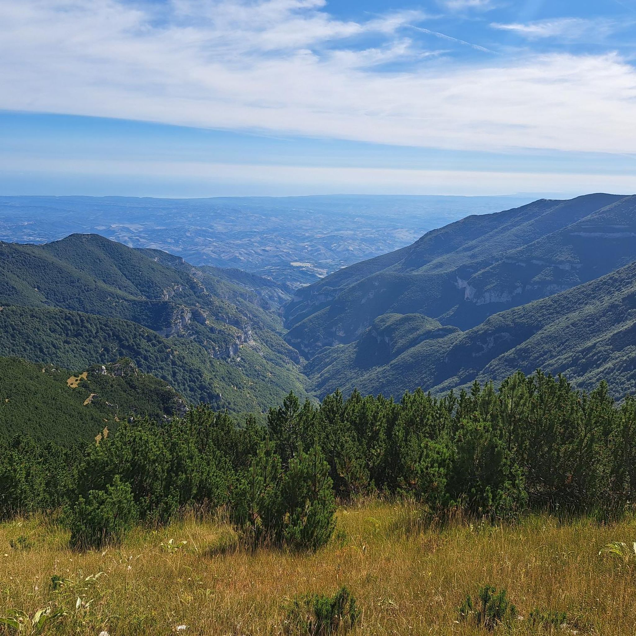
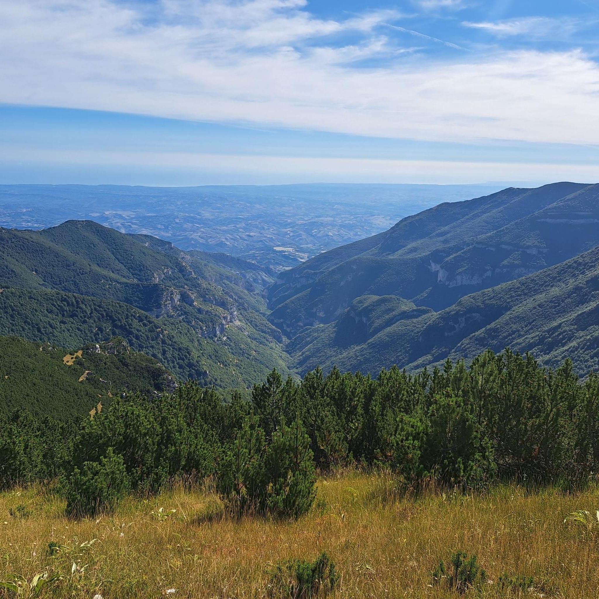
Road cycling routes around Pennapiedimonte are characterized by the mountainous terrain of the Majella National Park, featuring significant elevation changes and challenging climbs. The region offers a landscape of rugged peaks, deep valleys, and forested slopes, providing a demanding environment for road cyclists. Routes often ascend towards high-altitude passes and mountain plateaus, with some extending towards the Adriatic coast. This area is known for its sustained ascents and panoramic views across the Abruzzo landscape.
Best road cycling routes around Pennapiedimonte
…Last updated: September 25, 2026
4.8
(9)
166
riders
61.2km
04:00
1,940m
1,940m
Conquer the legendary Blockhaus da Bocca di Valle via Passo Lanciano, a difficult 38.0 miles (61.2 km) road cycling route with 6363 feet (19
5.0
(2)
54
riders
84.0km
04:06
1,120m
1,120m
Hard road ride. Very good fitness required. Mostly well-paved surfaces and easy to ride.

5.0
(2)
119
riders
75.4km
03:28
910m
900m
Hard road ride. Very good fitness required. Mostly well-paved surfaces and easy to ride.
5.0
(1)
41
riders
26.6km
02:03
1,120m
1,120m
Hard road ride. Very good fitness required. Mostly well-paved surfaces and easy to ride.
22
riders
130km
07:53
2,360m
2,360m
Hard road ride. Very good fitness required. Mostly well-paved surfaces and easy to ride.
Get access to more routes and recommendations from other explorers.
Already have an account?
Our route recommendations are based on thousands of hikes, rides, and runs completed by other people on komoot.
Start today with a free account
Your next adventure awaits.
Tips from the Community

Suitable for Gravel or MTB, less so for road bikes on the dirt sections
0
0

Abbey of San Giovanni in Venere – The divine balcony of Abruzzo. Resolutely hit the brakes and swap the coastline for a short, sporty climb up the hill for a moment. Atop the Promontorio di Venere awaits one of Italy's most magical and spiritual places. The Abbey of San Giovanni in Venere. This impressive 12th-century abbey was built on the foundations of an ancient Roman temple dedicated to the goddess of love, Venus. Surrounded by ancient olive groves, this place exudes a serene tranquility that contrasts beautifully with the lively beaches below. Why is this an absolute top highlight? The ultimate Belvedere! Next to the abbey is a beautiful viewing platform. From this 'balcony', you look down in bird's-eye view on the perfect crescent bay of the Golfo di Venere and see the trabocchi like small wooden spiders lying in the turquoise sea. The hidden monastery garden: step inside for free and wander through the idyllic cloister (chiostro). The inner courtyard full of flowers and the graceful arched windows offer welcome coolness on a warm summer day. The mysterious crypt: descend the stairs under the altar. In the crypt, you can admire beautiful, well-preserved 13th-century frescoes. Komoot tip: the climb from the Via Verde in Fossacesia Marina to the abbey is short but steep. With an e-bike, you'll be there in no time, but even under your own power, this panorama is truly worth every drop of sweat. An unforgettable cultural and photo stop!
3
0
Costa dei Trabocchi – Cycling between ‘giant wooden spiders’. The Via Verde dei Trabocchi is without a doubt one of the most spectacular cycle paths in Europe! This smoothly asphalted and largely flat path is over 50 kilometers long and reuses an old, abandoned railway line. You literally cycle a stone's throw from the Adriatic Sea, right through cooling historic railway tunnels, past hidden pebble coves (calette) and idyllic little harbors. The absolute stars of this route are the trabocchi. These unique, monumental wooden fishing huts on stilts rise above the turquoise water like gigantic spiders. In the past, they were used by resourceful farming families to fish safely from dry land, and today they house the most exclusive fish restaurants in the Abruzzo region. Why you must cycle this route: 🌊 Continuous sea view: No cars, no stress, just the sound of the surf and the smell of the sea. 🐟 Culinary stops: From a quick espresso in an authentic little harbor to a lavish lunch on a wooden platform floating above the waves. 🛠️ Unique heritage: The route breathes history and brings you face to face with centuries-old fishing traditions. 💡 Komoot tip! Rent an e-bike, bring your swimwear for a refreshing dip in one of the hidden bays, and don't forget to book your fish lunch on a trabocco weeks in advance!
5
0
Castello Aragonese – Historic viewpoint above the Adriatic Sea The Castello Aragonese is the impressive northern starting point of the Costa dei Trabocchi. This 15th-century fortress stands high on a steep cliff and offers you a magnificent view over the Adriatic Sea, the port of Ortona, and the coastline of the Via Verde dei Trabocchi. The massive round towers and thick fortress walls are reminiscent of a turbulent past. The castle withstood heavy fighting during World War II, after which part of the complex was lost. As if that were not enough, in 1946, a landslide caused almost half of the fortress to disappear into the sea. Today, it is one of the most beautiful viewpoints in Ortona and an ideal stop during your cycling or hiking tour. The castle ruins and inner courtyard are freely accessible. A short, steep climb awaits from the port, but it is amply rewarded with beautiful panoramas. Around the castle, you will also find cozy terraces and shady benches to catch your breath.
1
0
The stretch around San Vito Chietino and Marina di San Vito is considered the absolute highlight of the route. Here, spectacular views, historic railway tunnels, and the largest concentration of trabocchi alternate. An unforgettable coastal tour not to be missed.
5
0
Interesting facts about the location: Family heirloom: this specific trabocco was built in 1887 by the Verì family. To this day, the structure is still in the hands of their great-grandchildren. Floating restaurant: Nowadays, the platform serves as a unique fish restaurant. You literally dine on a wooden platform above the waves. In the middle of the restaurant, there is even a section of transparent glass floor that allows you to see the Adriatic Sea splashing beneath your feet while you eat. Marathon lunch: If you want to eat here, you need to significantly adjust your Komoot planning. They work with an extensive fixed fish menu (approx. €60 - €70 p.p.) of no less than 11 courses. Lunch starts punctually at 1:00 PM for all guests simultaneously and lasts at least 3 hours. Plan your time and enjoy !
5
0
Imagine: the Adriatic Sea shimmering beside you, a fresh sea breeze on your face, and an endless cycle path winding along the coast. The Via Verde dei Trabocchi is one of those routes where you don't really want the ride to end. This cycle path, over 50 kilometers long and largely flat, follows a former railway line and takes you along one of the most beautiful coastal stretches of Abruzzo. Along the way, you'll pass the iconic trabocchi: impressive wooden fishing platforms that seem to float on the sea on stilts. With their long arms and nets, they stand out against the horizon like gigantic wooden works of art. Thanks to the flat course, this route is suitable for almost everyone, from recreational cyclists to avid mileage eaters. Along the way, charming beaches, atmospheric villages, and countless spots beckon where you can stop for an espresso, an ice cream, or a fresh fish lunch with a sea view. The Via Verde dei Trabocchi is not just a cycle path, but an experience that effortlessly combines nature, culture, and relaxation. A route you must cycle at least once.
5
0
Even a short stop? Absolutely worth it. At Trabocco Punta Torre, a special fishing structure from 1850, time almost seems to stand still. The enormous wooden arms, cables, and nets are still used today for traditional net fishing, exactly as it happened generations ago. What makes this place extra special is the warm welcome from manager Claudio. Passers-by and cyclists are regularly spontaneously invited to take a look. With visible enthusiasm, he explains how the ingenious system works and how the nets are lowered into the Adriatic Sea via a mechanical lifting mechanism. A short stop that not only lets you experience a piece of history but also provides an encounter that you will remember for a long time.
5
0
Frequently Asked Questions
How many road cycling routes are available around Pennapiedimonte?
There are over 60 road cycling routes around Pennapiedimonte, offering a wide range of options for cyclists looking to explore the Majella National Park.
Are there any easy or beginner-friendly road cycling routes in Pennapiedimonte?
Pennapiedimonte's terrain, situated within the mountainous Majella National Park, is characterized by significant elevation changes. While there are no routes classified as 'easy', you can find 23 routes of 'moderate' difficulty. The remaining 38 routes are considered 'difficult', featuring substantial climbs.
What are the most challenging road bike climbs in the Pennapiedimonte area?
The region is renowned for its challenging climbs. Routes like Blockhaus da Bocca di Valle via Passo Lanciano and Monte Blockhaus – Pretoro loop from Comino feature significant elevation gains towards high-altitude passes and mountain plateaus, making them popular choices for experienced climbers.
What is the best time of year for road cycling around Pennapiedimonte?
Given the mountainous terrain of the Majella National Park, the best time for road cycling is typically from late spring through early autumn (May to October). During these months, you'll generally find more favorable weather conditions and accessible mountain passes. Winter can bring snow and ice, making many routes impassable.
Are there circular road cycling routes available?
Yes, many routes around Pennapiedimonte are designed as loops. For example, the Monte Blockhaus – Pretoro loop from Comino and the Francavilla al Mare Seafront – Pretoro loop from Guardiagrele are popular circular options that allow you to start and finish in the same location.
What kind of scenic viewpoints can I expect on road cycling routes in Pennapiedimonte?
The routes offer panoramic views across the Abruzzo landscape, including rugged peaks, deep valleys, and forested slopes. You'll encounter stunning vistas, especially on ascents towards mountain passes. Highlights such as Scenic Road to Passo Lanciano in Majella National Park provide exceptional photographic opportunities.
What are some interesting landmarks or attractions near the road cycling routes?
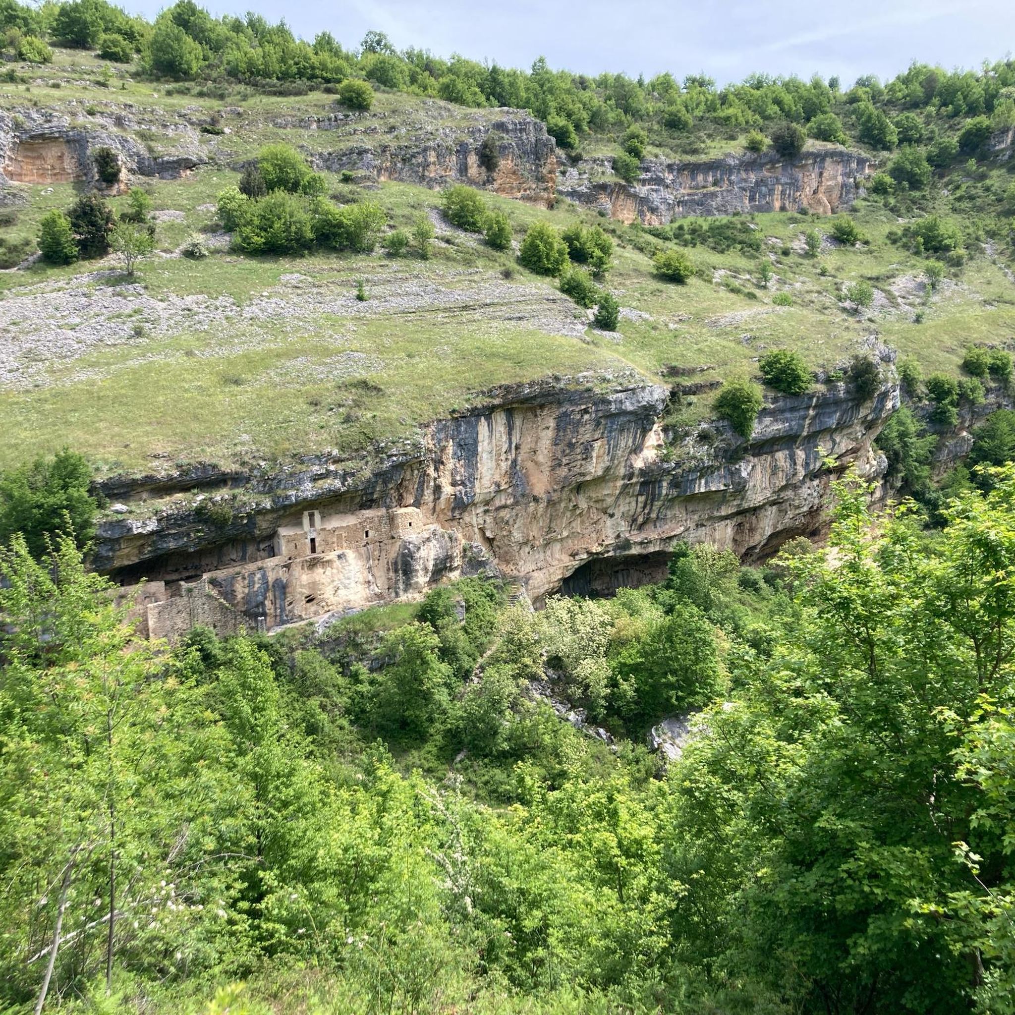
Beyond the natural beauty, you can explore various points of interest. The area features several mountain passes like Passo San Leonardo and Climb to Passo Lanciano. You might also encounter historical sites such as the Bocca di Valle Memorial or the ancient Hermitage of St. John at the Orfento.
What do other road cyclists enjoy most about cycling in Pennapiedimonte?
The area is highly rated by the komoot community, with an average score of 4.5 stars from over 70 reviews. Cyclists frequently praise the challenging mountain climbs, the rewarding panoramic views, and the diverse landscapes that connect the Majella massif with coastal areas.
Are there routes that combine mountain and coastal scenery?
Yes, some routes offer a unique blend of mountain and coastal landscapes. The Francavilla al Mare Seafront – Pretoro loop from Guardiagrele is a prime example, leading through varied scenery from the Adriatic coast to inland hills, providing a diverse cycling experience.
Where can I find parking for road cycling routes in Pennapiedimonte?
While specific parking information for each route is not detailed, Pennapiedimonte and surrounding towns like Guardiagrele or Comino typically offer public parking areas. It's advisable to check local maps or use navigation apps to locate suitable parking near your chosen starting point.
Are there any routes suitable for a shorter, intense climb?
For a shorter but intense climbing experience, consider routes like the Majelletta Summit – Blockhaus Climb loop from Cima Mammarosa. This route, though shorter in distance, still features significant elevation gain, making it a challenging option for those seeking a concentrated climb.
Most popular attractions around Pennapiedimonte

Get inspired with the komoot mobile app


Explore more
Browse the best Road cycling routes in other regions.
