The best walks and hikes around Rhede
4.5
(1156)
5,201
hikers
217
hikes
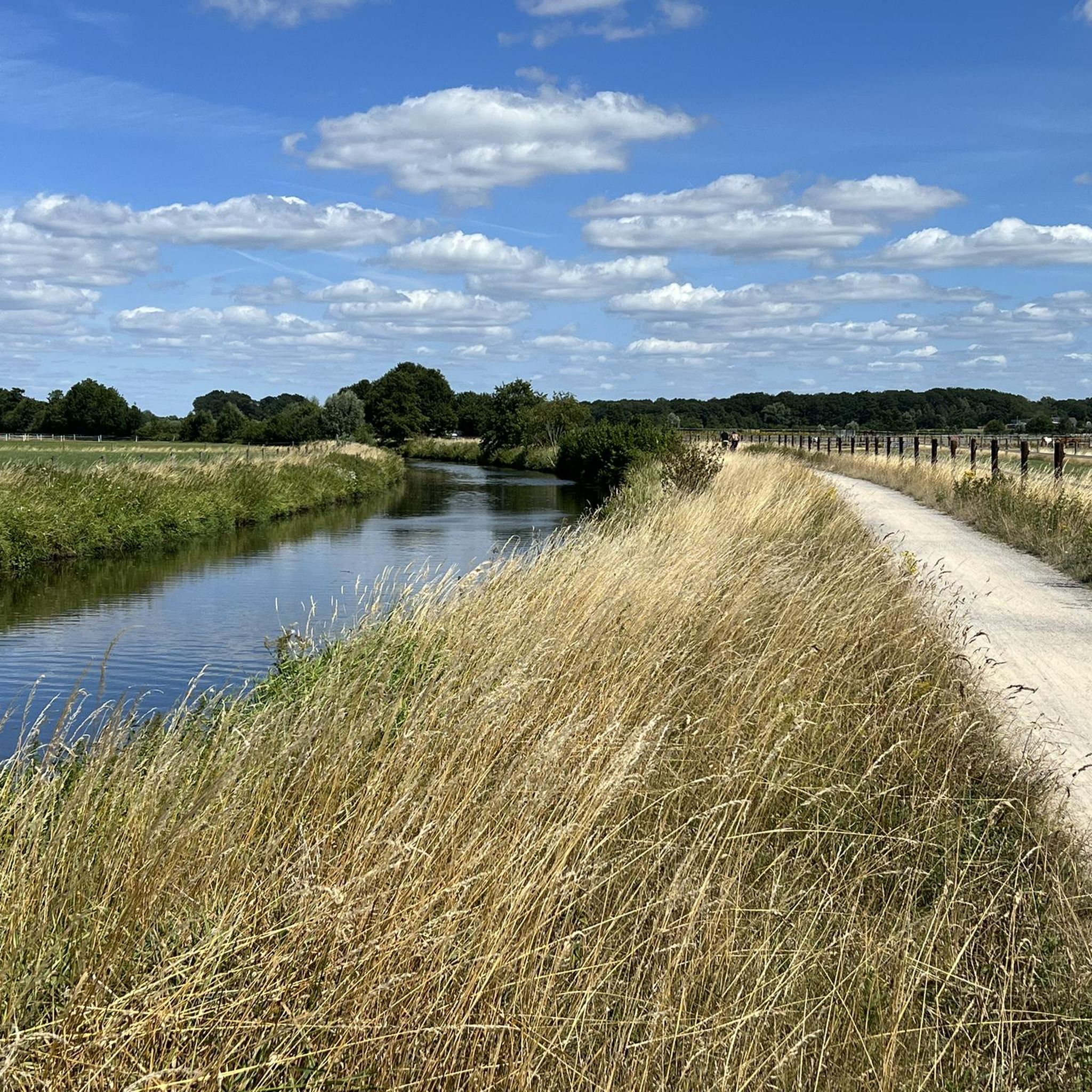
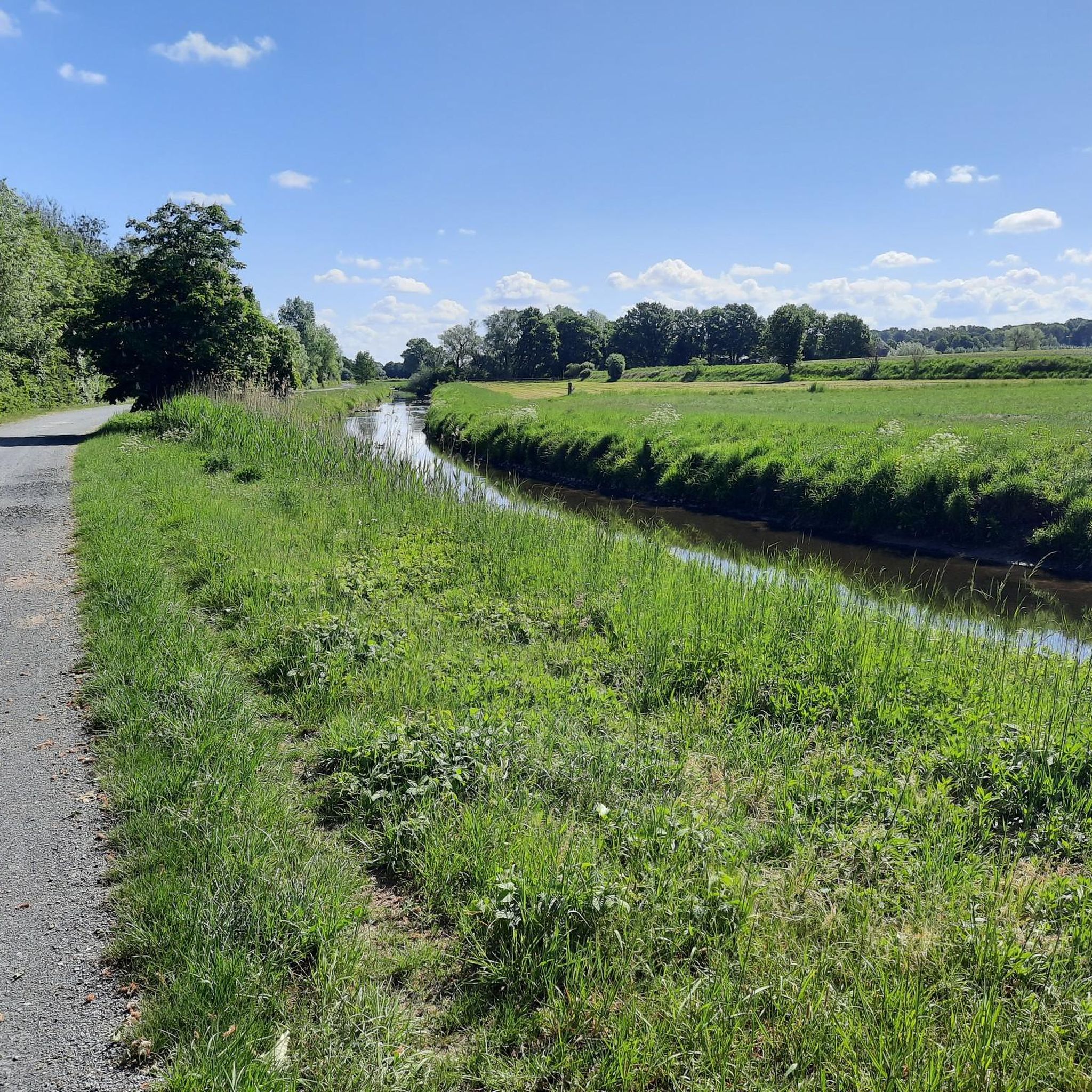
Hiking around Rhede offers diverse outdoor experiences across varied landscapes. The region features hilly terrain providing panoramic views of the surrounding countryside. Prominent natural elements include the Bocholter Aa river with its riverside paths and the cross-border Burlo-Vardingholter Venn und Entenschlatt nature reserve. Naturepark Hohe Mark also encompasses several hiking trails, contributing to the area's appeal for nature lovers.
Best hiking trails around Rhede
- The most popular hiking route is Wooldse Veen Boardwalk – Wooldse Veen Boardwalk loop from Wooldse…
Last updated: October 11, 2026
4.7
(404)
1,087
hikers
Moderate hike. Good fitness required. Easily-accessible paths. Suitable for all skill levels.
4.6
(35)
119
hikers
5.08km
01:17
10m
10m
Easy hike. Great for any fitness level. Easily-accessible paths. Suitable for all skill levels.

4.5
(10)
50
hikers
7.54km
01:55
20m
20m
Easy hike. Great for any fitness level. Easily-accessible paths. Suitable for all skill levels.
4.7
(18)
65
hikers
Easy hike. Great for any fitness level. Easily-accessible paths. Suitable for all skill levels.
4.7
(9)
27
hikers
14.4km
03:39
30m
30m
Moderate hike. Good fitness required. Easily-accessible paths. Suitable for all skill levels.
Get access to more routes and recommendations from other explorers.
Already have an account?
Our route recommendations are based on thousands of hikes, rides, and runs completed by other people on komoot.
Start today with a free account
Your next adventure awaits.



Tips from the Community

To the east of the (Bohlen) circular path, near the border, the wooden path turns into a soft peat path. You can walk comfortably and gently on the peat ground (if it hasn't rained for weeks). In this area of the circular path, rainwater still drains relatively well, as there are no clay layers/bedrock hindering water seepage. Partially, wooden railway sleepers lie underneath. I assume they are for securing, so you don't sink completely into the soft ground. The iron screws and nails of the railway sleepers are still clearly visible.
2
0
The raised bog between Woold (NL) and Burlo-Vardingholt (DE) was formed over the last 5000 years. During this time, undigested plant remains accumulated to form a peat layer several meters thick. The peat was removed in the 19th and 20th centuries. Little remained of the original raised bog. Today, "Natuurmonumenten" (NL) and the district of Borken (DE) are jointly working on the renaturation of the European Natura 2000 area. The first results are already visible. Frogs, toads, and salamanders live in the newly created ponds. Sphagnum moss is growing again, and sundew colors the ground reddish in places. There was a lot of smuggling in the border area between Germany and the Netherlands. Especially here in the lonely moor, the smuggler believed he would not be caught so easily by the "Kommies" (Low German for customs officer). Therefore, the customs officers patrolled. And such a historical "Kommiesenpatt" (control path) ran right through the moor here and sharply along the border. On this border path, you can see 3 historical boundary stones out of a total of 186.
2
0
This circular route, just under 2 km long, leads over wooden planks through the beautiful Wooldse Veen. The wooden planks are covered with a thin wire mesh so that you don't slip. The paths are very narrow (caution is advised if you suffer from vertigo!) and to allow for passing when meeting others, there are passing places at regular intervals.
2
0

At the summit of the Rodelberg, an official summit cross has stood since 2025. At 44.5 meters above sea level, it is said to be the lowest summit cross in NRW. From the top, you have a beautiful view.
0
0
Simply stay there for a while and relax.
0
0

Easily accessible from Dorsten without having to cycle through the city. Always nice for a coffee.
3
0
Just before the bridge, there is a small bay in the Aasee. The branches of a willow tree hang gently over the water. From here, you have an idyllic view of the lake. Ideal photo spot!
5
0

In the Bocholt city forest (approx. 69 hectares), you can enjoy walking or jogging on beautiful trails. These trails lead past forest and meadow enclosures where wild boar, fallow deer, and red deer live. Even the youngest visitors will find plenty to enjoy, as they can observe goats up close.
0
0
Frequently Asked Questions
How many hiking trails are available around Rhede?
Rhede offers a wide variety of hiking experiences, with over 200 routes available. These range from easy strolls to more challenging treks, ensuring options for all skill levels.
What kind of terrain can I expect on hikes in Rhede?
The region features diverse terrain, including hilly landscapes that provide panoramic views, riverside paths along the Bocholter Aa, and trails through nature reserves like the Burlo-Vardingholter Venn und Entenschlatt. You'll find a mix of woodlands, open fields, and wetland areas.
Are there any easy hiking trails suitable for beginners or families?
Yes, Rhede has many easy trails. For example, the Bench – Pensioner Hut loop from Rhede is an easy 5 km route through local woodlands. Another accessible option is the Hiking loop from Kleine Dingdener Heide, which is about 4.6 km long.
Where can I find panoramic views while hiking in Rhede?
Rhede's hilly terrain is known for offering numerous trails with panoramic views of the town and surrounding countryside. Many routes within the Naturepark Hohe Mark also provide elevated perspectives of the diverse landscape.
Are there any circular hiking routes in the Rhede area?
Yes, many trails in Rhede are designed as circular routes. A popular moderate option is the Wooldse Veen Boardwalk – Wooldse Veen Boardwalk loop from Wooldse Veen, which is 8.3 km long and explores a unique wetland landscape.
What natural features can I explore on a hike in Rhede?
You can explore the Bocholter Aa river with its scenic riverside paths, and the cross-border nature reserve Burlo-Vardingholter Venn und Entenschlatt, known for its idyllic and mysterious atmosphere. The Naturepark Hohe Mark also offers trails through varied natural settings.
What attractions or landmarks can I see near the hiking trails?
Beyond the trails, you can visit the Raesfeld Castle, explore the Pröbstingsee Recreation Area, or walk along the Bocholter Aa Riverside Trail. The Dämmer Forest and the Fairy Tale Forest on the Mumbecker Stream also offer unique natural experiences.
Are there dog-friendly hiking trails in Rhede?
Many of Rhede's natural trails are suitable for dogs, especially those through woodlands and open countryside. It's always recommended to keep dogs on a leash, particularly in nature reserves or near livestock, and to check local regulations for specific areas.
What do other hikers say about the trails in Rhede?
The komoot community highly rates the hiking experience in Rhede, with an average score of 4.6 stars from over 900 reviews. Hikers often praise the varied terrain, well-maintained paths, and the peaceful natural surroundings.
Are there any longer, more challenging hikes in the region?
While many trails are easy to moderate, there are options for longer hikes. For instance, the Roerdinkhof Camping and Café – Wooldse Veen Boardwalk loop from Burlo is a moderate 11.8 km path that offers an extended exploration of the Wooldse Veen area and its natural surroundings.
Can I access hiking trails in Rhede using public transport?
Rhede has local bus services that connect to various parts of the town and surrounding areas. While some trailheads might be directly accessible, it's advisable to check specific bus routes and schedules to plan your access to the desired hiking starting points.
Are there places to eat or rest near the hiking routes?
Yes, the region offers various cafes and guesthouses, particularly in and around Rhede town center and some of the larger villages. Some routes, like those near the Pröbstingsee Recreation Area, also have facilities where you can stop for refreshments.
Most popular routes around Rhede
Most popular attractions around Rhede

Get inspired with the komoot mobile app


Explore more
Browse the best Hikes in other regions.
