The best walks and hikes around Algua
4.4
(5219)
28,464
hikers
13
hikes
Hiking around Algua offers diverse landscapes within Italy's Lombardy region, nestled in the Val Seriana of the Bergamo Alps. The terrain features a mix of dense woodlands, green meadows, and rocky areas, transitioning from gentler lower valley paths to more alpine environments. The region is characterized by impressive mountain ranges and numerous alpine lakes, providing varied natural settings for outdoor activities.
Best hiking trails around Algua
- The most popular hiking route is From Frerola to Pizzo Rabbioso (via Route 593)…
Last updated: August 19, 2026
5.0
(1)
3
hikers
4.90km
02:00
250m
250m
Moderate hike. Good fitness required. Mostly accessible paths. Sure-footedness required.
8.23km
03:14
470m
470m
Moderate hike. Good fitness required. Mostly accessible paths. Sure-footedness required.

Sign up for free
5.0
(1)
13
hikers
5.30km
01:36
160m
160m
Easy hike. Great for any fitness level. Easily-accessible paths. Suitable for all skill levels.
4.2
(5)
17
hikers
Moderate hike. Great for any fitness level. Mostly accessible paths. Sure-footedness required.
5.0
(2)
10
hikers
6.69km
02:34
350m
350m
Moderate hike. Good fitness required. Mostly accessible paths. Sure-footedness required.
Get access to more routes and recommendations from other explorers.
Sign up for free
Already have an account?
Our route recommendations are based on thousands of hikes, rides, and runs completed by other people on komoot.
Start today with a free account
Your next adventure awaits.
Login or Signup


Tips from the Community

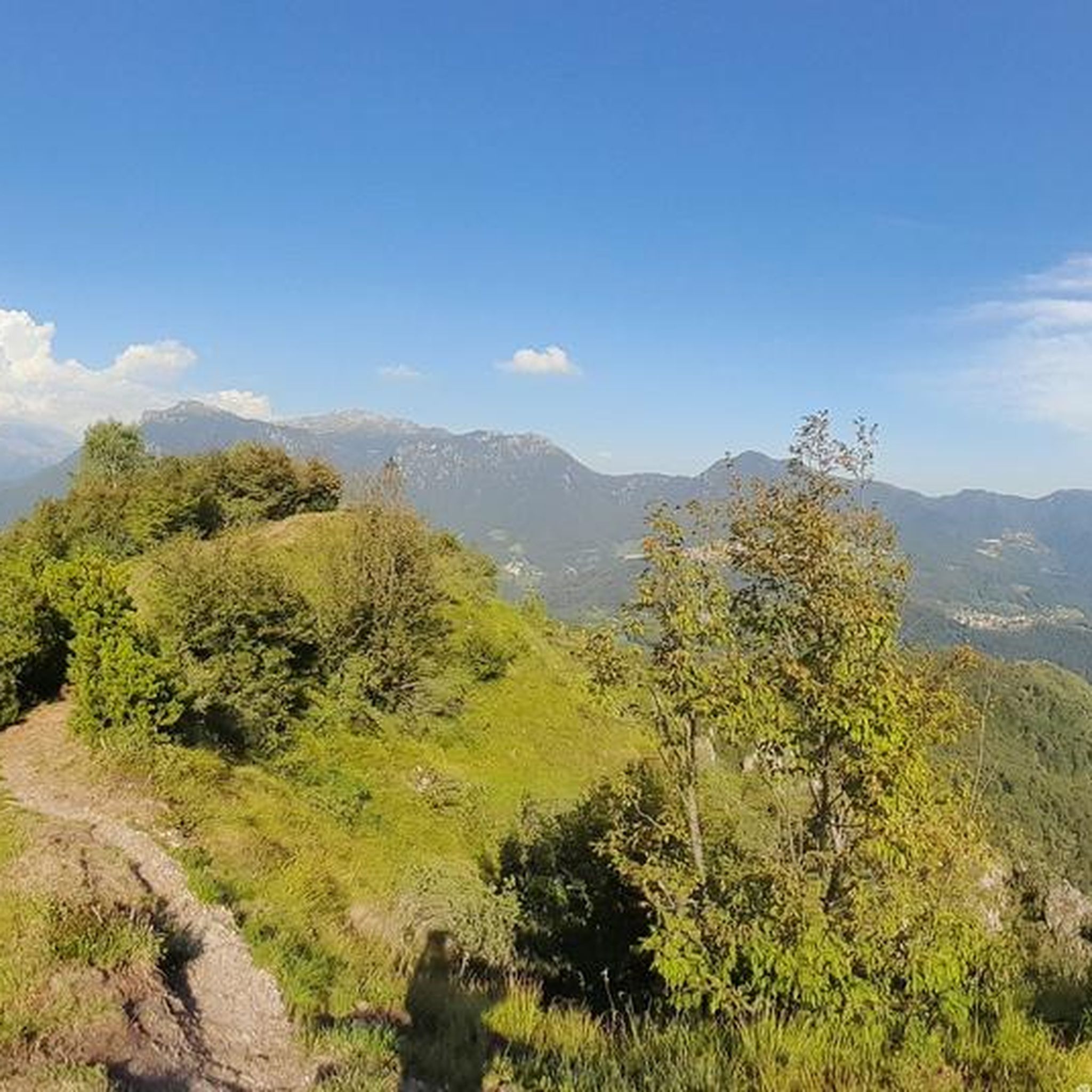
Moderately difficult via ferrata, not suitable for complete beginners. Amazing view from top.
0
0

circular tour in the woods
0
0

Fantastic valleys both on the Nembro side and on the Rigosa side, streams, waterfalls
0
0

Beautiful spring-summer panorama, very photographic point.
0
1
To start the trail I recommend boots and... water!
0
0
There is a monument to the Alpini. The view is beautiful. Be careful not to venture towards the via ferrata if you are not equipped with a helmet and harness.
0
0

Croce di Predai, located near the hut of the same name.
0
0

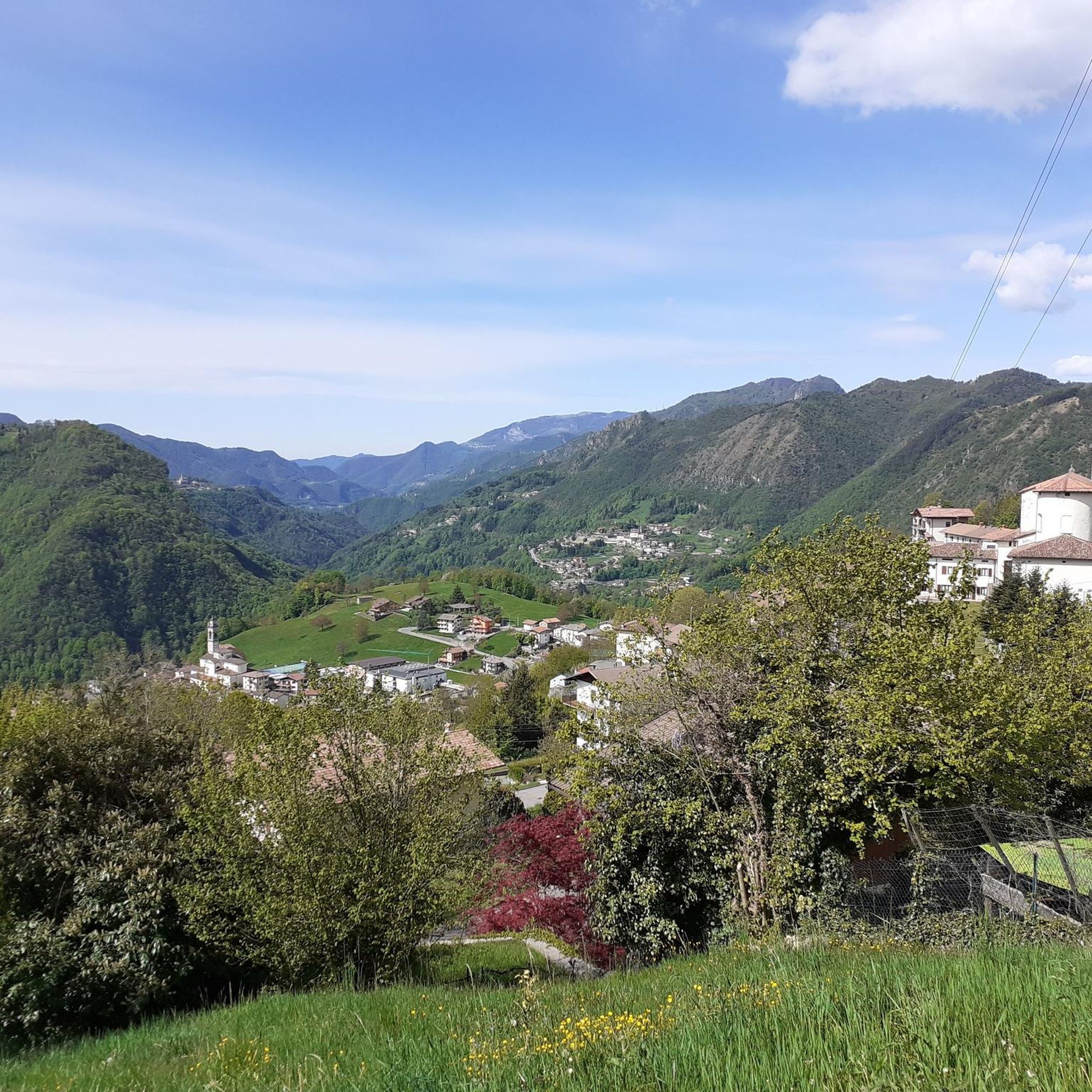
A small and remote hamlet, closer to the town of Selvino than to that of Nembro, at about 1000m above sea level: a few houses, a restaurant and a church
1
0
Frequently Asked Questions
What types of hiking trails can I expect around Algua?
Algua, nestled in the Val Seriana of the Bergamo Alps, offers a diverse range of hiking trails. You'll find paths traversing dense woodlands, green meadows, and rocky landscapes. The terrain transitions from gentler routes in the lower valley to more alpine environments in the upper regions, providing varied experiences for hikers.
Are there any family-friendly hiking options in Algua?
Yes, Algua and the broader Val Seriana offer trails suitable for families. While specific easy routes are available, many moderate trails can be enjoyed by families with some hiking experience. The region's diverse terrain means you can find paths that are less strenuous and focus on scenic beauty.
Can I bring my dog on the hiking trails in Algua?
Generally, dogs are welcome on many trails in the Algua region, but it's always best to keep them on a leash, especially in areas with wildlife or livestock. Be mindful of local regulations and ensure your dog is well-behaved and doesn't disturb other hikers or the natural environment.
What are some notable natural features or viewpoints to look out for on hikes around Algua?
The region is rich in natural beauty. You can find impressive mountain ranges like Pizzo di Coca and Presolana, alpine lakes such as those in Valgoglio, and the spectacular Serio Waterfalls (though these are a bit further afield in Val Seriana). For panoramic views closer to Algua, consider routes that ascend to higher points like Pizzo Rabbioso, or explore viewpoints such as the Canto Alto Summit.
Are there any circular hiking routes available in Algua?
Yes, there are several circular routes. For example, the Salmezza Pass Viewpoint – Salmezza Village loop from Algua is a moderate 15.2 km trail that takes you through scenic viewpoints and traditional villages, offering a great circular experience.
What is the best time of year to go hiking in Algua?
The best time for hiking in Algua is typically from late spring to early autumn (May to October). During these months, the weather is generally mild, and trails are clear of snow, making for pleasant conditions. Summer offers lush green landscapes, while autumn brings vibrant foliage. Always check local weather forecasts before heading out.
Are there places to eat or stay near the hiking trails in Algua?
Yes, the Val Seriana region, including areas around Algua, features charming traditional villages with various options for food and accommodation. You'll find mountain huts (rifugi) like La Baita del Giovanni or Rifugio Monte Alben that provide warm environments and local cuisine. There are also agriturismi, hotels, and cafes in nearby towns.
How can I get to the trailheads in Algua using public transport?
While some trailheads might be accessible by local bus services connecting smaller villages, public transport options can be limited in more remote alpine areas. It's advisable to research specific bus routes and schedules for your chosen trailhead in advance. For routes starting further afield, like the H53 trail from Bergamo to Val Serina, you might start from larger towns with better public transport connections.
Is parking available at the trailheads around Algua?
Parking availability varies by trailhead. In smaller villages or at popular starting points, you may find designated parking areas, though they can fill up quickly during peak season. For more remote trails, roadside parking might be an option, but always ensure you are parking legally and not obstructing access. It's recommended to check specific trailhead information if available.
What is the general difficulty level of hikes in Algua?
Hiking around Algua offers a range of difficulties. While there is a small number of easy routes, the majority of trails are considered moderate, suitable for hikers with a reasonable level of fitness. There are also challenging routes, such as the Canto Basso Viewpoint – Canto Alto Summit loop from Selvino, which involves significant elevation gain and is best for experienced hikers.
Are there any long-distance trails or multi-day hiking opportunities in the Algua region?
While Algua itself features day hikes, the broader Bergamo Alps are home to extensive networks like the Sentiero delle Orobie Orientali. This 90 km high-mountain path links seven mountain chalets across an eight-stage itinerary, offering a challenging multi-day experience for experienced hikers to explore the wild natural areas and protected species of the Orobie National Park.
Most popular attractions around Algua

Get inspired with the komoot mobile app


Explore more
Browse the best Hikes in other regions.
