The best mountain hikes around Algua
4.8
(12)
115
hikers
3
hikes
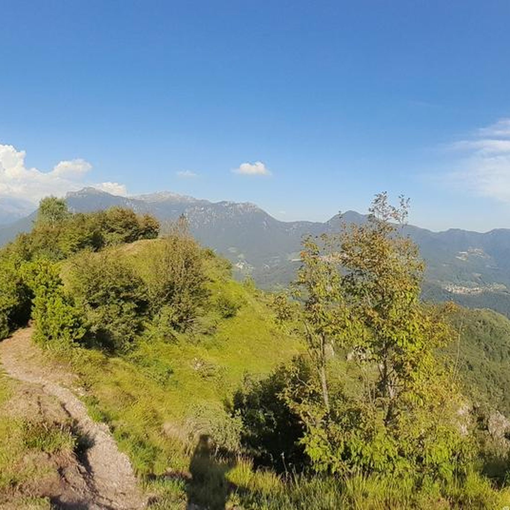
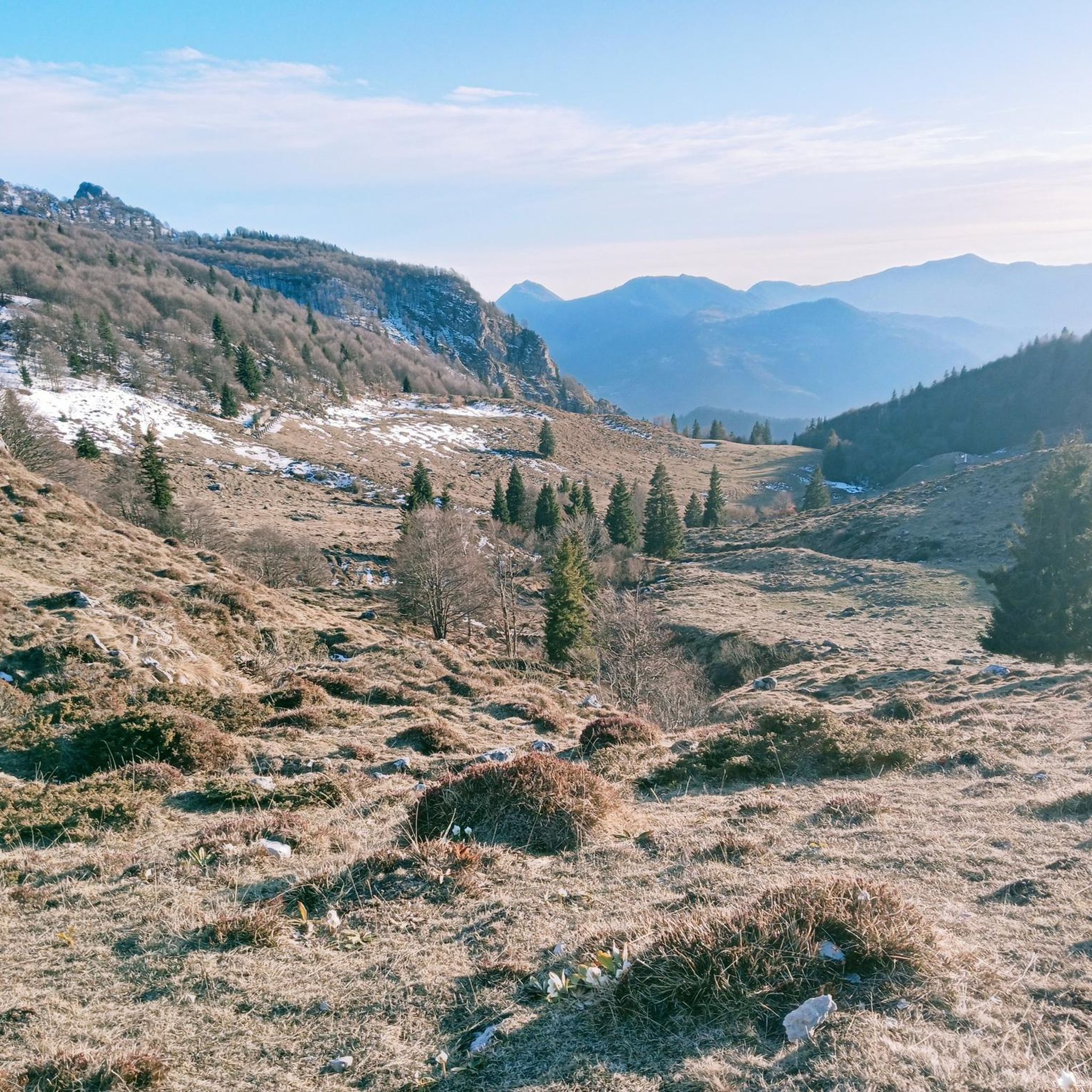
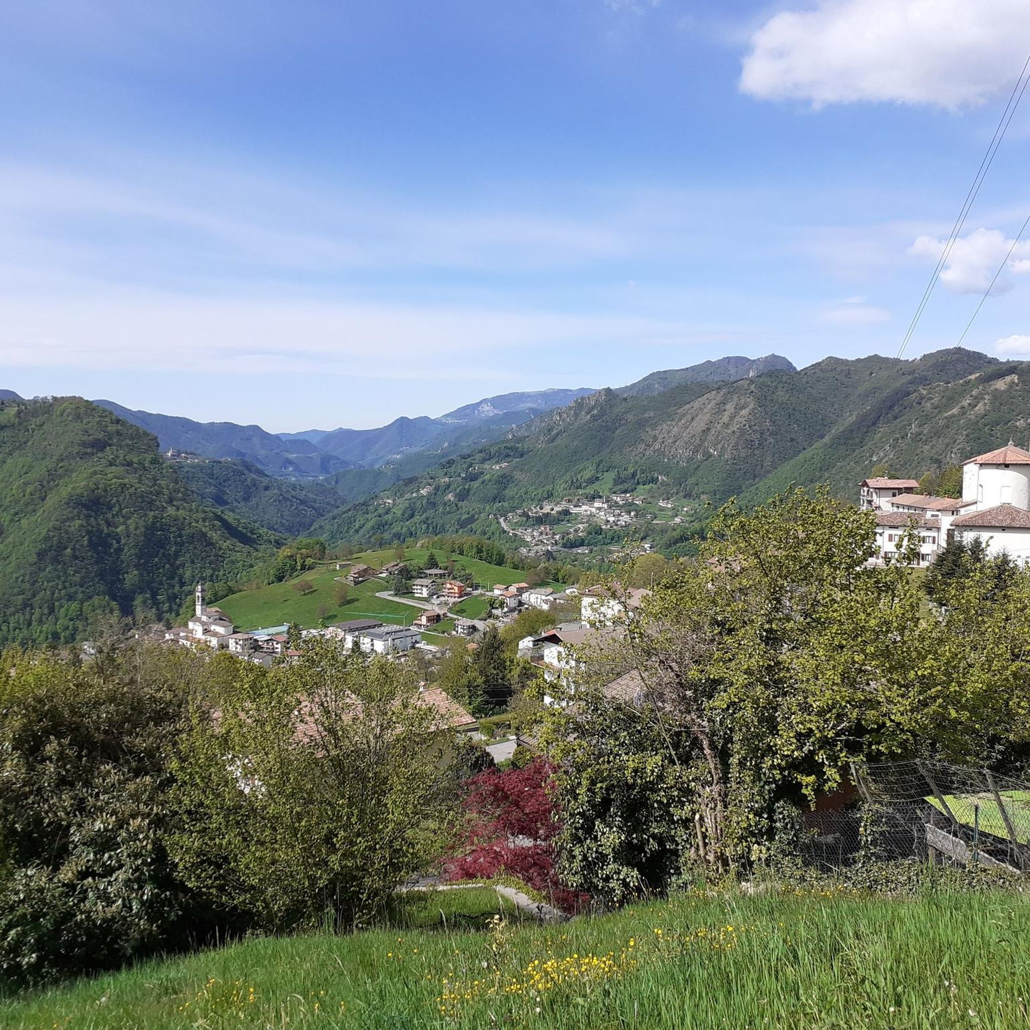
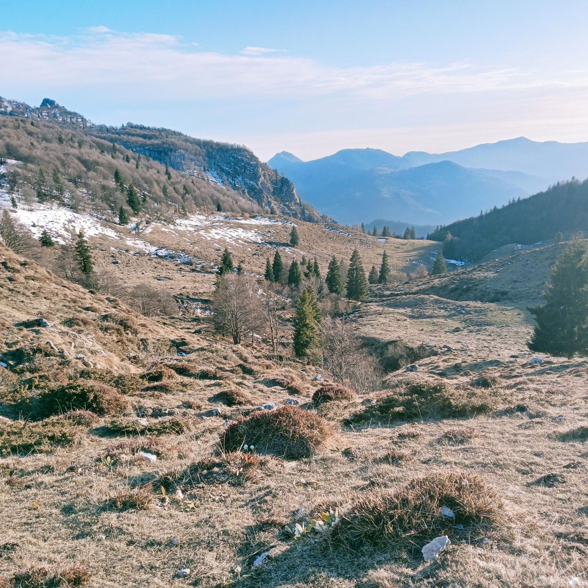
Mountaineering routes around Algua are situated within the Seriana Valley, part of Italy's Orobie Alps. This region features a diverse landscape, transitioning from gentle hills to imposing alpine peaks, characterized by dense woodlands, verdant meadows, and rocky terrain. Notable features include the Presolana Massif, known for its climbing routes, and high peaks such as Pizzo di Coca, the highest in the Bergamo Alps. The area also encompasses numerous alpine lakes and the Serio Waterfalls, providing varied environments for mountaineering.
Best…
Last updated: July 4, 2026
5.0
(1)
18
hikers
7.69km
03:29
660m
660m
Moderate mountaineering route. Good fitness required. Mostly accessible paths. Sure-footedness required.
4.5
(2)
28
hikers
5.42km
02:25
290m
290m
Hard mountaineering route. Good fitness required. Sure-footedness, sturdy shoes and alpine experience required.

Sign up for free
5
hikers
17.4km
06:09
830m
830m
Hard mountaineering route. Very good fitness required. Sure-footedness, sturdy shoes and alpine experience required.
5.0
(1)
5
hikers
15.5km
07:56
1,310m
1,310m
Hard mountaineering route. Very good fitness required. Sure-footedness, sturdy shoes and alpine experience required.
4
hikers
7.51km
03:03
480m
480m
Hard mountaineering route. Good fitness required. Sure-footedness, sturdy shoes and alpine experience required.
Our route recommendations are based on thousands of hikes, rides, and runs completed by other people on komoot.
Start today with a free account
Your next adventure awaits.
Login or Signup

Tips from the Community

nice cave, about ten meters long, beautiful concretions.
0
0

On the summit of Pizzo Arera there is a cast iron cross that stands out against the fantastic panorama of the Orobie.
0
0

From the ice cream shop/restaurant, you can access one of the most fun (and technical) trails in the area, the Agostini. It takes its name from the Bergamo motorcyclist champion, as at the end of the trail, on the right, you can see the racer's villa.
0
0
Salmezza path increasingly eroded and ruined
1
0
departure point for excursions, the most popular being the flower trail. Be careful to display the ticket that can be purchased at the start of the climb.
0
0

very nice trekking, from Capanna 2000 you go up to the summit cross, a route that is not impossible but not suitable for everyone.
0
1

Cà del Lacc is a hiking landmark located near Ponteranica, in the province of Bergamo. The name comes from the Bergamo dialect and means "House of Milk", probably linked to an ancient dairy production activity. It is a crossroads of paths that connect several locations, including Colle di Ranica, Canto Alto, Olera and Lonno. The route is immersed in the woods and offers beautiful views of the valley. It is a popular destination for hikers and nature lovers, with well-marked trails suitable for different levels of experience
0
0
Croce dei Morti is a landmark along trail 606, located in the Parco dei Colli di Bergamo. This trail connects several locations, including Torre Boldone and Colle di Ranica, offering splendid views of the Val Seriana and the Bergamo plain. The name "Croce dei Morti" may derive from historical events related to the area, but today it is mainly a point of passage for hikers and nature lovers. The trail is easy and accessible, with a length of about 2.9 km and a difference in altitude of 42 meters. If you want to explore the area, you can start from the trattoria in the Croce dei Morti area and follow the trail towards Colle di Ranica, passing by Croce del Boscone. It is a perfect excursion for a relaxing walk surrounded by greenery! 😊
0
0
Frequently Asked Questions
What kind of terrain can I expect on mountaineering routes near Algua?
Mountaineering routes around Algua are situated within the Seriana Valley, part of Italy's Orobie Alps. You'll encounter a diverse landscape, transitioning from dense woodlands and verdant meadows to challenging rocky terrain and imposing alpine peaks. Notable features include the Presolana Massif and high peaks like Pizzo di Coca, offering a true alpine environment.
Are there any equipped routes or Via Ferrata options in the Algua area?
Yes, the region around Algua offers equipped routes, also known as Via Ferrata, which provide opportunities for assisted climbing. These routes make challenging ascents accessible to a wider range of adventurers. Additionally, the Valgua cliff near Albino, a short distance from Algua, features six sectors with varying difficulties for climbers.
Are there any routes that pass by waterfalls or alpine lakes?
The Seriana Valley, where Algua is located, boasts panoramic views of beautiful alpine lakes. Further up the valley in Valbondione, you can admire Lake Barbellino and the impressive Cascate del Serio waterfalls, which are the highest in Italy. While specific routes listed here may not directly pass them, the region is rich with these natural features.
What landmarks or viewpoints can I see along the mountaineering routes?
The routes offer expansive views of the surrounding Orobie Alps. You can also find interesting points like the Zambla Pass or the Passo di Ganda. The area around the Sanctuary of Madonna del Perello in Algua also provides walking paths with alpine landscapes perfect for reflection.
Are there any circular mountaineering routes in Algua?
Yes, several mountaineering routes around Algua are designed as loops. For example, the Monte Alben Summit – Rifugio Monte Alben loop from Cornalba is a challenging 7.8-mile (12.5 km) trail. Another popular option is the Cima di Menna loop from Oltre il Colle, which is 6.4 miles (10.2 km) long and leads through high alpine terrain.
What is the best season for mountaineering in Algua?
The best season for mountaineering in Algua and the Seriana Valley is generally from late spring through early autumn. During these months, the weather is more stable, and trails are typically free of snow, making for safer and more enjoyable ascents. Always check local weather conditions before heading out.
Is parking available at trailheads for mountaineering routes?
While specific parking details vary by trailhead, areas like Cornalba, Oltre il Colle, and Sorisole, which serve as starting points for many routes, typically offer parking options. It's advisable to check local information or maps for designated parking areas before your trip, especially during peak seasons.
Are permits required for climbing or mountaineering in the Algua area?
Generally, permits are not required for hiking or mountaineering on established trails in the Seriana Valley. However, for specific technical climbing routes, especially on peaks like Mount Presolana or certain Via Ferrata, it's always best to consult local mountaineering clubs or guide services for any specific regulations or safety requirements.
Are the mountaineering routes suitable for families?
The mountaineering routes listed for Algua are generally rated as 'difficult' and are more suited for experienced mountaineers due to their elevation gain and rugged terrain. For families looking for less strenuous options, the Seriana Valley offers numerous hiking trails through woods, fields, and meadows that are more accessible and provide splendid views.
Can I bring my dog on the mountaineering routes?
Many trails in the Orobie Mountains are dog-friendly, but it's crucial to keep your dog on a leash, especially in areas with livestock or wildlife. Given the 'difficult' rating of these mountaineering routes, ensure your dog is fit for challenging terrain and long distances. Always carry enough water for both yourself and your pet.
What do other mountaineers say about the routes in Algua?
The mountaineering routes in Algua are highly rated by the komoot community, with an average score of 4.8 stars from over 15 reviews. Reviewers often praise the challenging ascents, expansive views of the Orobie Alps, and the diverse mountain landscapes encountered on trails like the Canto Alto – Pisgiù loop from Sorisole.
Are there any cafes or refuges along the mountaineering routes?
Some routes, like the Monte Alben Summit – Rifugio Monte Alben loop from Cornalba, pass by mountain refuges where you can find refreshments or even overnight accommodation. The wider Seriana Valley also has various cafes and restaurants in its towns and villages, perfect for before or after your mountaineering adventure.
How many mountaineering routes are available in Algua?
There are 6 mountaineering routes available around Algua, all rated as difficult. These routes offer challenging ascents and diverse mountain landscapes within the Orobie Alps, providing ample opportunities for experienced mountaineers.
Most popular attractions around Algua

Get inspired with the komoot mobile app


Explore more
Browse the best Mountain Hikes & Routes in other regions.
