The 7 Most Amazing Peaks around Montebello Di Bertona
Best mountain peaks around Montebello Di Bertona are found in the Gran Sasso d'Italia massif, offering diverse outdoor activities and expansive panoramas. This historic village, situated on a hill south of the Tavo river, provides access to a region with evidence of human settlements dating back to the Upper Paleolithic era. The area features a variety of peaks and passes, making it a destination for those seeking natural beauty and challenging terrain.
Best mountain peaks around Montebello Di Bertona
- The…
Last updated: November 1, 2026
Monte Camicia summit
Highlight • Summit
Translated by Google •
Tip by

Capo la Serra Pass
Highlight • Mountain Pass
Translated by Google •
Tip by

Sign up now to discover places like this
Get recommendations on the best single tracks, peaks, & plenty of other exciting outdoor places.
Mount Cappucciata
Highlight • Summit
Translated by Google •
Tip by

Monte Tremoggia
Highlight • Summit
Translated by Google •
Tip by
Monte Siella
Highlight • Summit
Translated by Google •
Tip by
Sign up for free to discover even more peaks around Montebello Di Bertona.
Already have an account?
Start today with a free account
Your next adventure awaits.
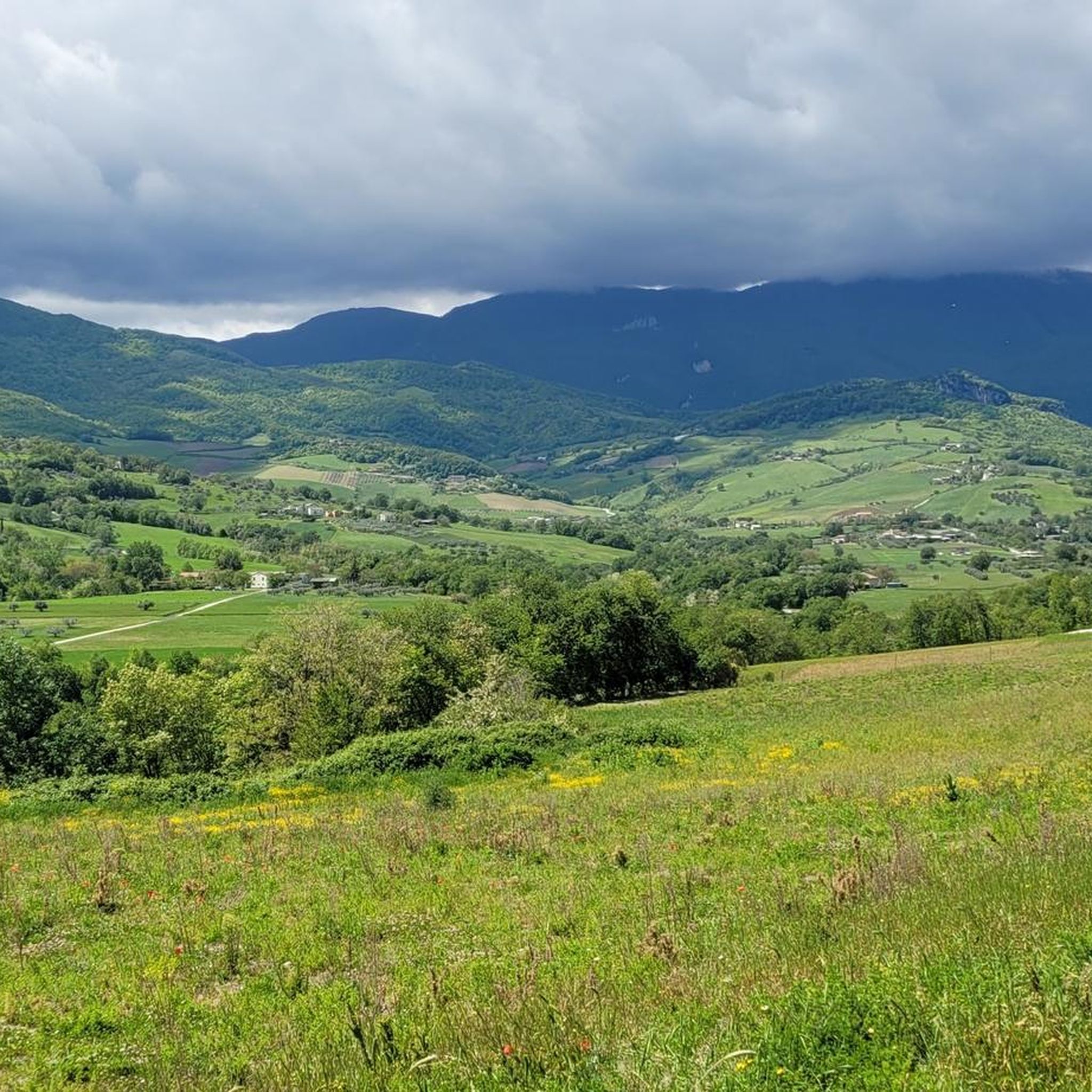
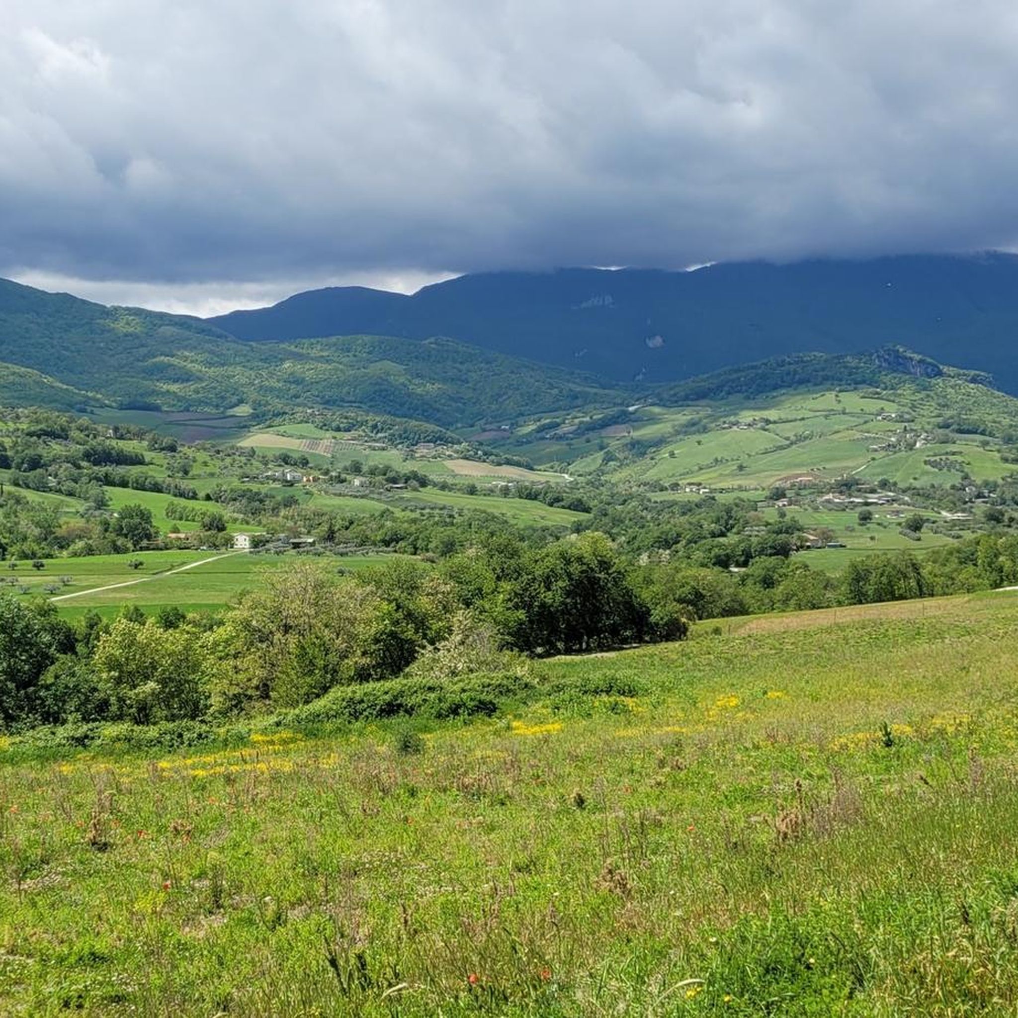
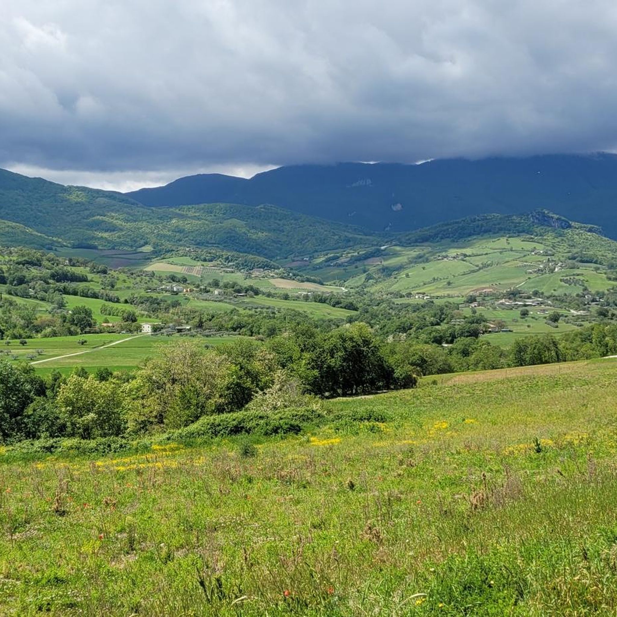
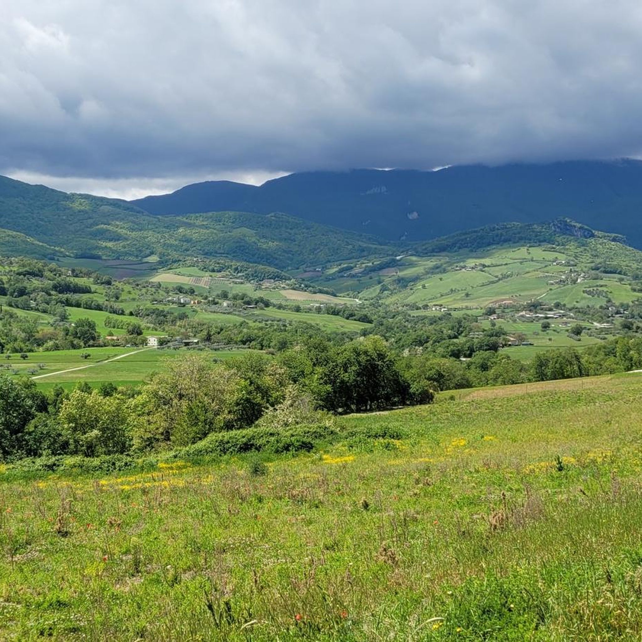
Tips from the Community

Given the steepness, trekking poles are recommended.
0
0

what beautiful places to cycle
0
0


Panoramic Peak life Adriatic and Piana di Campo Imperatore, recommended for those who are approaching the mountain in summer, attention in winter. Recommended path 252
0
0

It connects the Campo Imperatore plateau with the mountain centers of Castel del Monte, Calascio and Santo Stefano di Sessanio, and is dominated to the east by Monte Capo di Serre and to the west by Monte Bolza.
0
0

The Capo di Serre pass, located at 1,600 meters above sea level, is a mountain pass in the Abruzzo Apennines, overlooking the southern slope of the Gran Sasso massif of Italy. This pass connects the Campo Imperatore plateau to the mountain centers of Castel del Monte, Calascio and Santo Stefano di Sessanio. Its position is dominated to the east by Monte Capo di Serre and to the west by Monte Bolza. A breathtaking vantage point that offers the chance to explore the surrounding natural beauty.
1
0

Montr Shirt (2564 m) offers a vast panorama of the Adriatic Sea, the coast, the Corno Grande and a good part of the Central Apennines.
0
0
The foresummit of Monte Tremoggia is located at an altitude of 2331 m and offers a very beautiful view of the rest of the crest and of the Dente del Lupo.
0
0
Frequently Asked Questions
What are some of the most popular mountain peaks to explore around Montebello Di Bertona?
Based on community feedback, Monte Camicia summit is highly regarded for its impressive 360-degree views. Another popular spot is Capo la Serra Pass, which offers breathtaking views and connects to the Campo Imperatore plateau. Monte Tremoggia is also a favorite, providing beautiful views of the surrounding crest and the Dente del Lupo.
Are there challenging mountain climbs for experienced hikers in the Montebello Di Bertona region?
Yes, the region offers several challenging ascents. The hike to Monte Camicia summit is known for its steep and constant climb, often involving persistent snowfields even in late May, requiring appropriate winter gear. The area around Monte Brancastello also presents similar alpine characteristics with rapid weather changes.
What kind of panoramic views can I expect from the mountain peaks near Montebello Di Bertona?
The peaks in this region offer expansive and diverse panoramas. From Monte Bertona, you can see from the Marche region to the Frentane hills. Monte Camicia summit provides an impressive 360-degree view. From Mount Cappucciata, you can enjoy views of the Gran Sasso massif, Sirente-Velino, and La Majella. Peaks like Monte Bolza and Monte Capo di Serre near Capo di Serre Pass also offer breathtaking vistas.
Are there any historical or cultural sites to discover while exploring the mountain peaks?
Yes, the region around Montebello Di Bertona has a rich history. The village itself has evidence of human settlements dating back to the Upper Paleolithic era. When hiking the 'Anello del Monte Bertona' loop, you can encounter the ruins of an ancient castle, adding a cultural dimension to your outdoor experience.
What other outdoor activities can I do near the mountain peaks around Montebello Di Bertona?
Beyond hiking, the area offers various outdoor activities. For climbers, Pietra Rossa on Monte Bertona provides equipped climbing routes, and there's a re-equipped crag near Montebello Di Bertona with routes for different skill levels. You can also find numerous routes for running and cycling in the surrounding area.
Are there family-friendly mountain walks or easier trails available?
While many peaks offer challenging ascents, some areas are more accessible. Monte Siella is described as a panoramic peak recommended for those approaching the mountain in summer. For general hiking, you can explore various hiking trails, including easier options like the Penne Lake Loop Trail.
What is the best time to hike the mountains around Montebello Di Bertona?
The best time largely depends on your desired experience. Summer is generally recommended for those new to mountain hiking, especially for peaks like Monte Siella. However, be aware that snowfields can persist on higher peaks like Monte Camicia even in late May, requiring winter gear. Weather can change rapidly, with thunderstorms and hail possible, so always check forecasts.
What unique natural features can I observe in the mountain peaks region?
The region is rich in natural beauty. You can encounter the rocky walls of Pietra Rossa on Monte Bertona. The Campo Imperatore plateau, accessible via Capo la Serra Pass, offers a unique canyon landscape evoking a 'Far West' atmosphere. Wildlife, including chamois, can be spotted in areas like Monte Siella.
Are there circular hiking routes available for exploring the mountain peaks?
Yes, the 'Anello del Monte Bertona' (Monte Bertona Loop) is a well-known circular trail that leads to the summit of Monte Bertona, offering a comprehensive experience of the area's natural beauty and historical elements.
What do visitors enjoy most about the mountain peaks around Montebello Di Bertona?
Visitors frequently highlight the breathtaking and impressive panoramic views from the summits, such as the 360-degree vista from Monte Camicia. The challenging yet rewarding ascents, the diverse natural landscapes, and the opportunities for rock climbing also contribute to a highly appreciated outdoor experience.
What are the typical weather conditions to expect when hiking in this region?
Weather conditions in the Gran Sasso d'Italia massif can be variable and change rapidly. Even in late spring, snowfields can persist on higher peaks, and cold winds are common. Thunderstorms and hail are possible, especially on higher elevations like Monte Brancastello. It's always advisable to check the forecast and be prepared for sudden changes.
Where is <a href="https://www.komoot.com/highlight/5287081" target="_blank" rel="noopener">Mount Cappucciata</a> located and what does it offer?
Mount Cappucciata is one of the peaks within the Gran Sasso massif, located at 1800 meters high in the Gran Sasso and Monti della Laga National Park. It offers a beautiful panorama that includes the Gran Sasso massif, the Sirente-Velino, and La Majella.
What is the significance of <a href="https://www.komoot.com/highlight/4631632" target="_blank" rel="noopener">Capo la Serra Pass</a>?
Capo la Serra Pass is a mountain pass situated at 1,600 meters above sea level in the Abruzzo Apennines. It marks the watershed between the Campo Imperatore plateau and the town of Castel del Monte, connecting several mountain centers. It's a breathtaking vantage point ideal for exploring the surrounding natural beauty, dominated by Monte Capo di Serre to the east and Monte Bolza to the west.
Most popular routes around Montebello Di Bertona
Most popular attractions around Montebello Di Bertona

Get inspired with the komoot mobile app


Explore more
See even more amazing summits around Montebello Di Bertona with these guides:
