The best walks and hikes around Sutrio
4.4
(339)
1,467
hikers
47
hikes
Hiking around Sutrio offers access to the diverse landscapes of the Carnic Alps, situated in Italy's Friuli-Venezia Giulia region. The area is characterized by majestic peaks like Mount Zoncolan and Mount Tamai, alongside lush forests and alpine pastures. Trails often traverse picturesque valleys, providing varied terrain for outdoor activities. This region features a network of well-marked paths, including sections of the CAI network, suitable for different hiking experiences.
Best hiking trails around Sutrio
- The most popular hiking route is Monte…
Last updated: September 26, 2026
1
hikers
9.08km
03:41
480m
480m
Moderate hike. Good fitness required. Mostly accessible paths. Sure-footedness required.
3
hikers
8.39km
04:29
850m
850m
Moderate hike. Good fitness required. Mostly accessible paths. Sure-footedness required.

4.5
(32)
156
hikers
13.8km
04:54
750m
750m
Moderate hike. Good fitness required. Mostly accessible paths. Sure-footedness required.
4.7
(10)
76
hikers
11.5km
04:17
650m
650m
Moderate hike. Good fitness required. Mostly accessible paths. Sure-footedness required.
4.3
(29)
108
hikers
7.47km
02:35
370m
370m
Moderate hike. Good fitness required. Mostly accessible paths. Sure-footedness required.
Get access to more routes and recommendations from other explorers.
Already have an account?
Our route recommendations are based on thousands of hikes, rides, and runs completed by other people on komoot.
Start today with a free account
Your next adventure awaits.
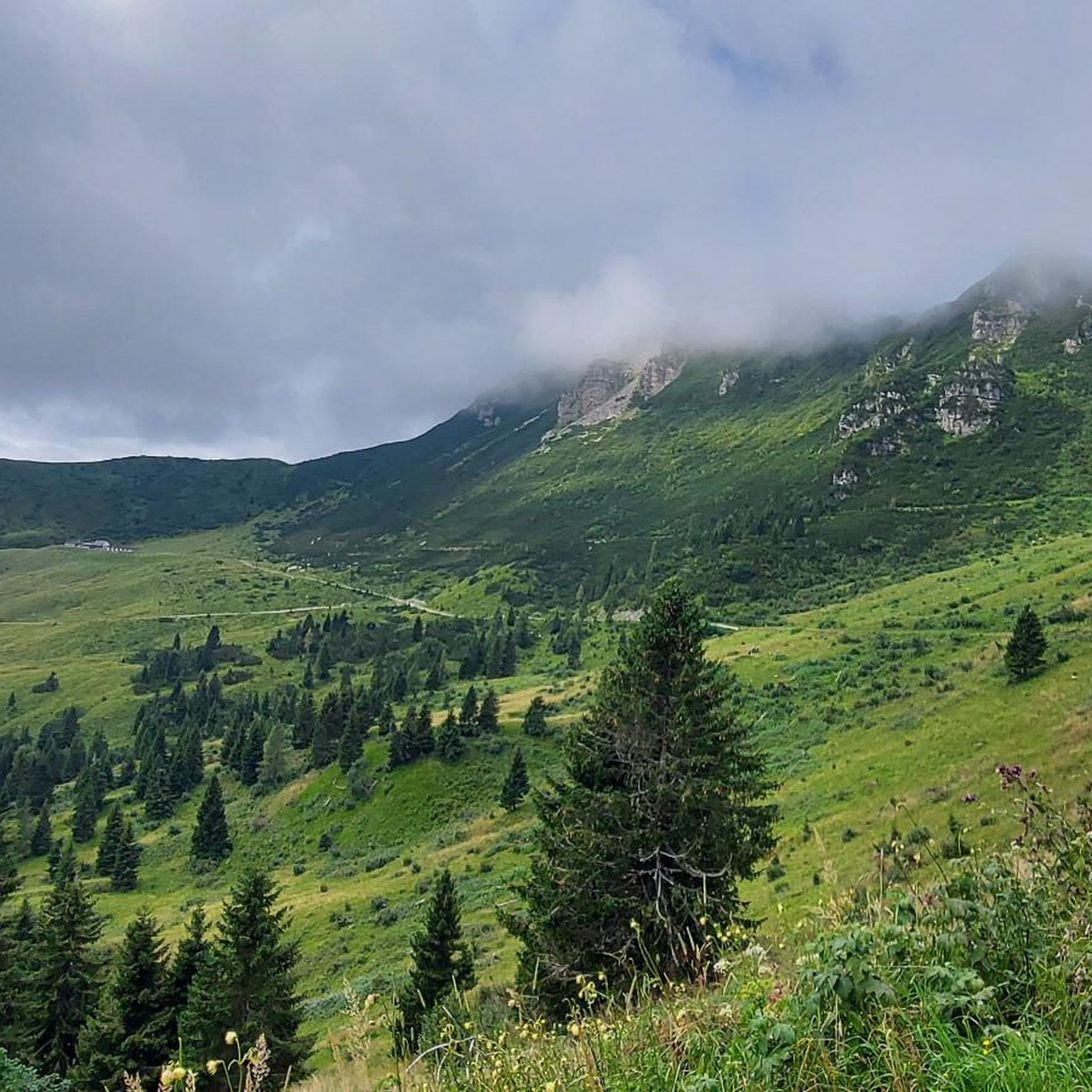
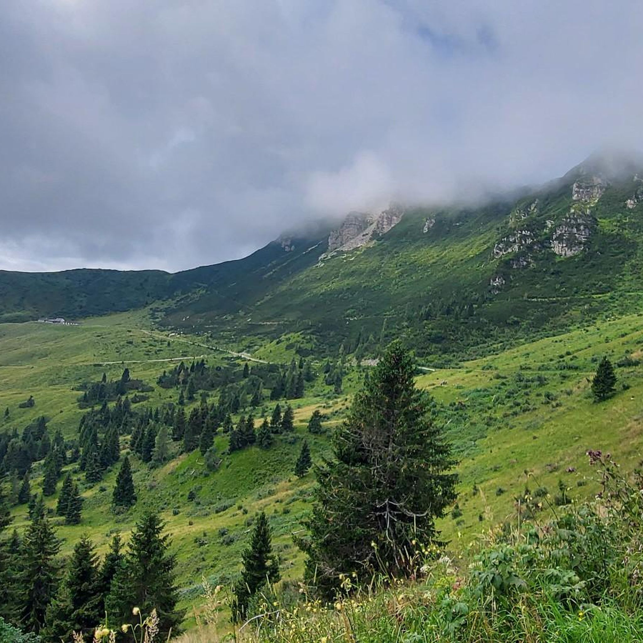
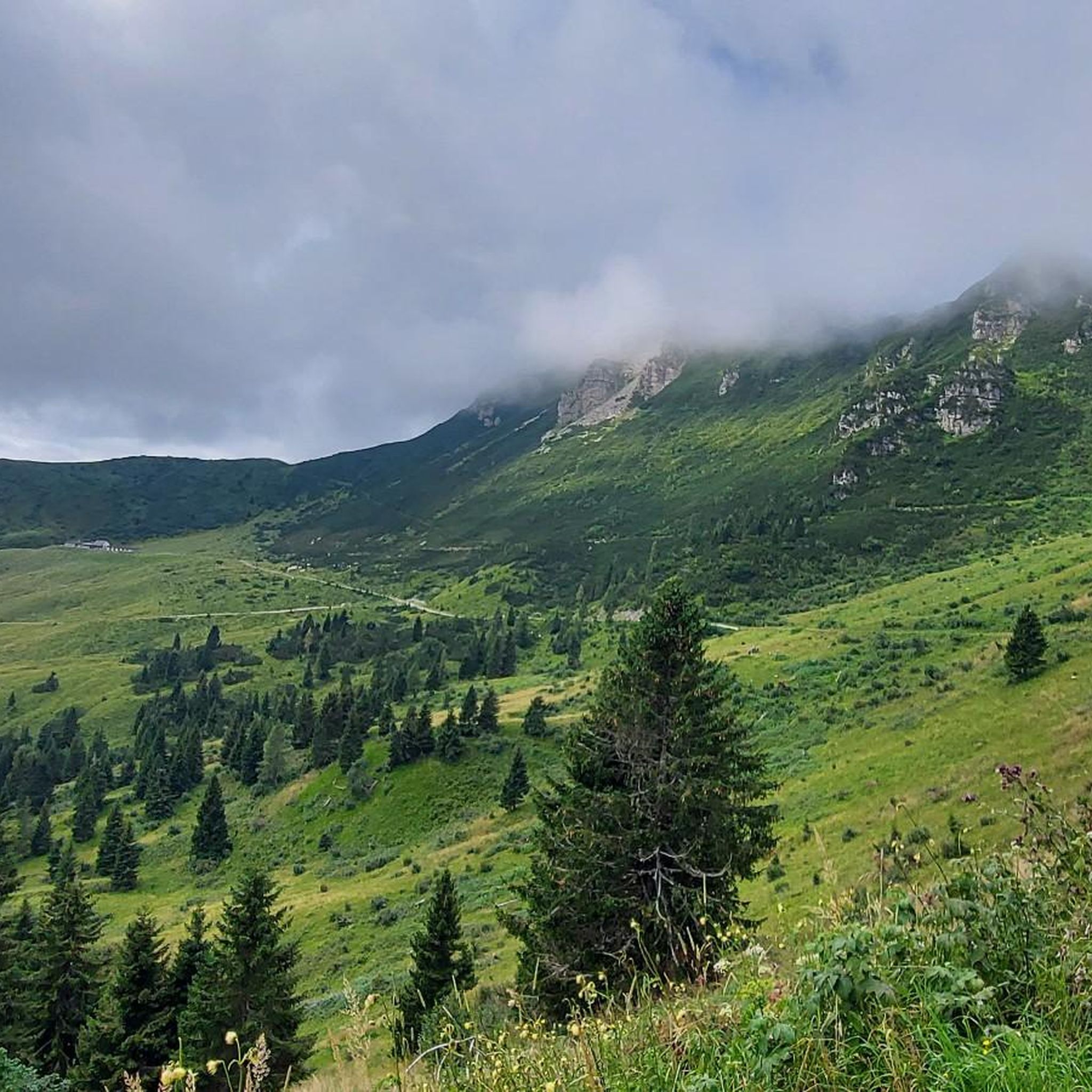

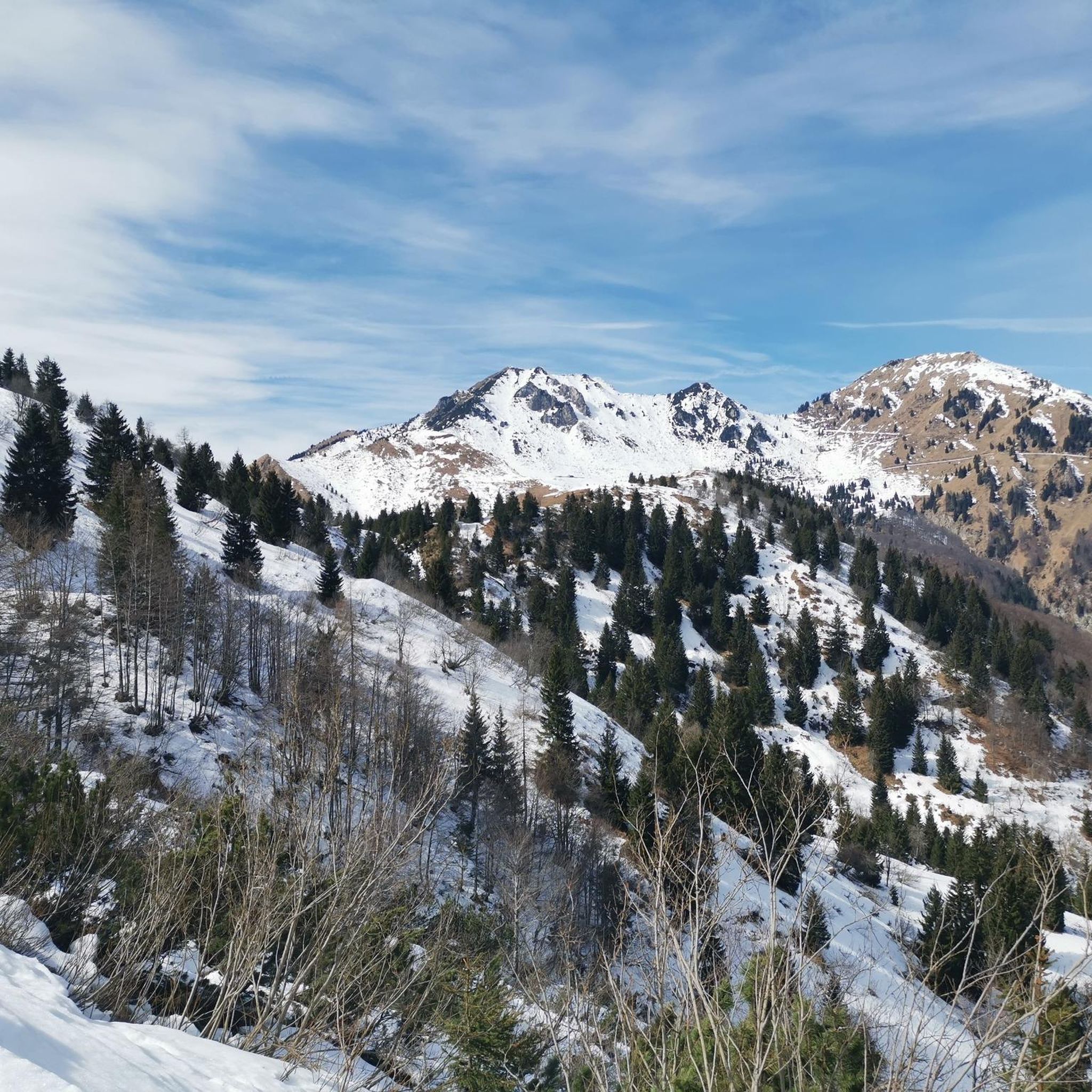

Tips from the Community

Even though I chose the relaxed option with the cable car, the great view is definitely worth it. Got lucky with the weather.
2
0

Even though it's always crowded, the Monte Zoncolan viewpoint is always worth a visit.
0
0

A great route for cyclists and hikers with the character of a forest path and mountain road. The ground is mostly rocky, concreted in exposed places. The partially managed mountain huts located directly on the route are suitable for breaks.
0
0
The "Malga Tamai" is located on the edge of a wide basin above the tree line along the mountain hut trail.
0
0
The "Malga Dauda" is a nice mountain hut with catering along the route. Definitely suitable for a short break with very friendly hosts.
0
0
Frequently Asked Questions
How many hiking trails are available around Sutrio?
There are over 35 hiking trails around Sutrio, offering a diverse range of experiences. This includes 16 easy routes, 18 moderate routes, and 4 more challenging trails, ensuring options for all skill levels.
What is the best time of year to go hiking in Sutrio?
The best time to hike around Sutrio is generally from late spring through early autumn (May to October). During these months, the weather is pleasant, and the alpine pastures are lush. Winter offers opportunities for snowshoeing and winter hiking, especially around Mount Zoncolan, which transforms into a ski district.
Are there easy hiking trails suitable for beginners or families in Sutrio?
Yes, Sutrio offers several easy hiking trails perfect for beginners or families. These routes typically have minimal elevation gain and are well-marked. For example, you can find 16 easy routes in the area, providing gentle walks through picturesque valleys and forests.
Can I find hikes that offer panoramic views around Sutrio?
Absolutely. Many trails in the Sutrio area lead to stunning panoramic viewpoints. Peaks like Mount Zoncolan, Mount Arvenis, Mount Tamai, and Monte Crostis offer expansive vistas of the Carnic Alps, Julian Alps, and even the Friulian Dolomites. The Tamai Hut – Mount Tamai loop from Località Zoncolan is known for its rewarding scenery.
Are there any circular hiking routes near Sutrio?
Yes, circular routes are a popular option around Sutrio. A great example is the Monte Arvenis Loop Trail, which is a moderate 9.1 km route offering rewarding scenery. Another option is the Mount Tamai – Monte Arvenis loop from Monte Zoncolan / Il Çoncolàn, which connects two significant mountains.
Are there any waterfalls to see on hikes around Sutrio?
Yes, the region around Sutrio features several beautiful waterfalls. You can explore highlights such as the Plera Waterfall, Salino Waterfall, and the Timavo Carnico Waterfall. These natural attractions often provide refreshing stops along your hiking routes.
Are there mountain huts or alpine pastures accessible on hikes around Sutrio?
The landscape around Sutrio is dotted with traditional alpine pastures (malghe) and mountain huts (rifugi). Popular destinations include Rifugio Tamai, Malga Dauda, Agareit, Meleit, and Marmoreana. The From Noiaris to Malga Dauda (via CAI Route 159) leads directly to Malga Dauda, offering a taste of local culture and hospitality.
What do other hikers enjoy most about hiking in Sutrio?
The hiking trails around Sutrio are highly rated by the komoot community, with an average score of 4.6 stars from over 275 reviews. Hikers often praise the diverse landscapes, from majestic peaks to serene alpine pastures, and the well-marked paths that cater to various abilities. The breathtaking panoramic views are also a frequently mentioned highlight.
Are the trails around Sutrio suitable for dogs?
Many trails in the Sutrio area are suitable for dogs, especially those through forests and alpine pastures. It's always recommended to keep dogs on a leash, especially when passing through grazing areas or near wildlife. Ensure you carry enough water for your pet, as natural water sources might not always be available, particularly during drier seasons.
Where can I park when hiking near Sutrio?
Parking is generally available at or near popular trailheads and villages in the Sutrio region. For routes starting from Mount Zoncolan, there are designated parking areas. When planning your hike, check the specific starting point of your chosen route for the most convenient parking options.
Are there any lakes or natural pools near Sutrio for swimming after a hike?
While the region is known for its mountains, there are some beautiful lakes nearby. You can find highlights like Lago Avostanis and Laghetto di Villa Santina. These offer serene spots to relax, though specific wild swimming regulations might apply, so it's best to check local guidelines.
Are there any long-distance hiking options or multi-day treks in the Sutrio area?
Yes, Sutrio is part of a larger network of trails, including sections of the Julius Kugy three-country trail and the Via Alpina. These routes offer opportunities for multi-day adventures, allowing experienced trekkers to explore the Carnic Alps more extensively and connect with trails in neighboring regions.
What kind of terrain can I expect on hikes around Sutrio?
The terrain around Sutrio is varied, reflecting the diverse landscape of the Carnic Alps. You can expect well-maintained paths through lush forests, rocky ascents to mountain peaks, and gentle trails across expansive alpine pastures. Some routes may involve steeper sections and require sure-footedness, while others are relatively flat and easy to navigate.
Most popular routes around Sutrio
Most popular attractions around Sutrio

Get inspired with the komoot mobile app


Explore more
Browse the best Hikes in other regions.
