Top 13 Mountain Passes around Erto E Casso
Mountain passes around Erto E Casso are situated within the Friulian Dolomites Natural Park, offering access to the Vajont Valley. The area features a landscape of peaks such as Borgà, Duranno, and Monte Toc. Erto itself is a mountain hamlet recognized as a National Monument. This region provides opportunities for trekking, climbing, and mountain biking.
Best mountain passes around Erto E Casso
- The most popular mountain passes is View of Conca dell'Alpago and Lake Santa Croce, a viewpoint and…
Last updated: June 26, 2026
Forcella del Duranno
Highlight • Mountain Pass
Translated by Google •
Tip by

Deona Pass – Copada Alta
Highlight • Mountain Pass
I will add comments and photos as well.
Translated by Google •
Tip by

Sign up now to discover places like this
Get recommendations on the best single tracks, peaks, & plenty of other exciting outdoor places.
Sign up for free
View of Conca dell'Alpago and Lake Santa Croce
Highlight • Viewpoint
Translated by Google •
Tip by

Valbona Pass
Highlight • Mountain Pass
Translated by Google •
Tip by
Càneva Pass
Highlight • Mountain Pass
Wide, grassy and gentle on the Belluno side, severe and stony on the Longaronese side; slope otherwise subject to possible stone discharges
Translated by Google •
Tip by

Sign up for free to discover even more mountain passes around Erto E Casso.
Sign up for free
Already have an account?
Start today with a free account
Your next adventure awaits.
Login or Signup
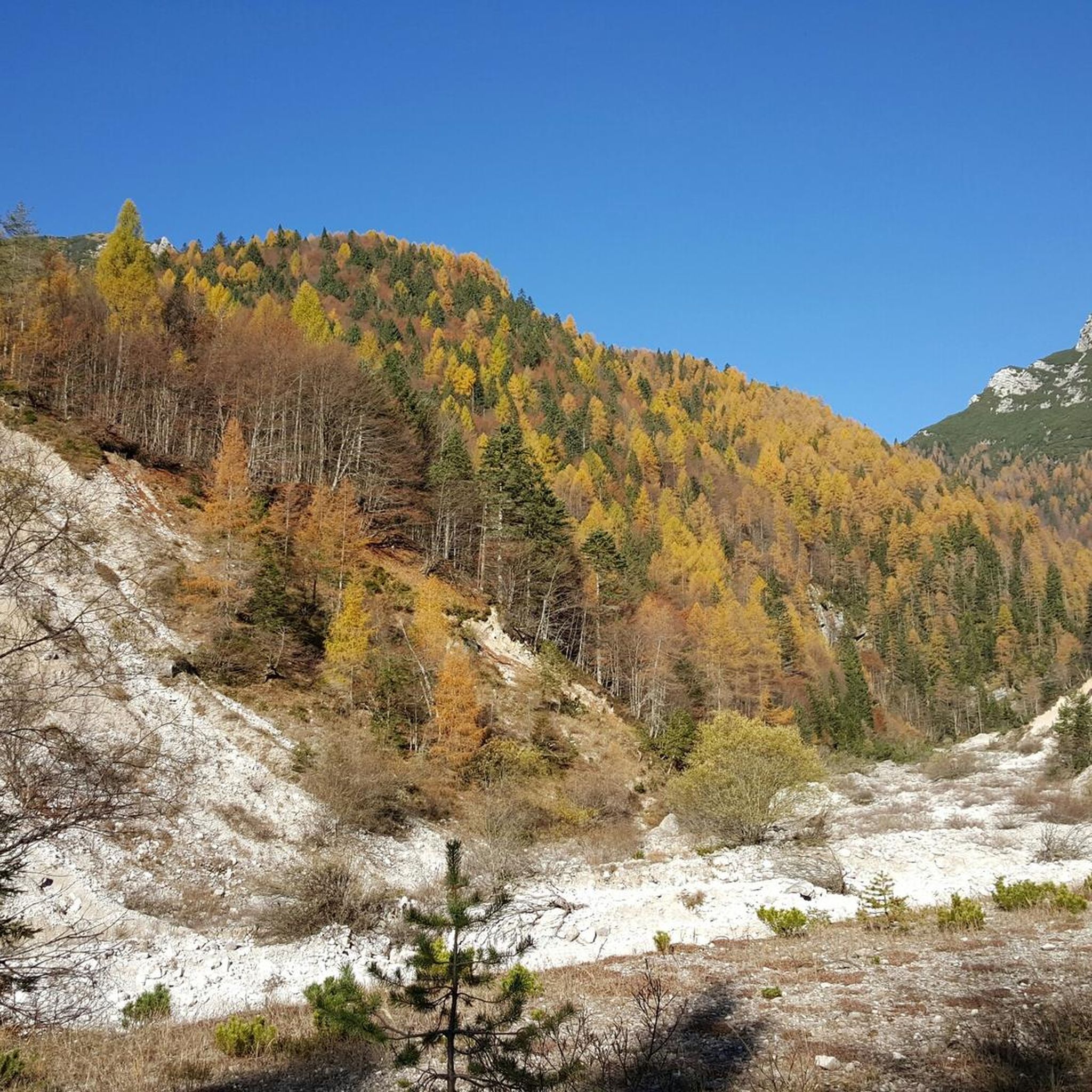


Tips from the Community


The Valbona pass is a pass located at 2,130 meters above sea level, along the Col Nudo e Cavallo chain, which connects the Chialedina valley, in Friuli-Venezia Giulia, with the Venál di Montanès, in Veneto. From here, it is possible to go up up to the ridge that joins the Lastei peak to Col Nudo, although the ridge itself may present some technical difficulties. Near the pass, the Col Nudo shelter offers a quite welcoming refuge for rest and shelter.
1
0
The Valbona pass is a pass located at 2,130 meters above sea level, along the Col Nudo e Cavallo chain, which connects the Chialedina valley, in Friuli-Venezia Giulia, with the Venál di Montanès, in Veneto. From here, it is possible to climb up to the ridge that joins the Lastei peak to Col Nudo, although the ridge itself may present some technical difficulties. Near the pass, the Col Nudo shelter offers a quite welcoming refuge for rest and shelter.
2
0
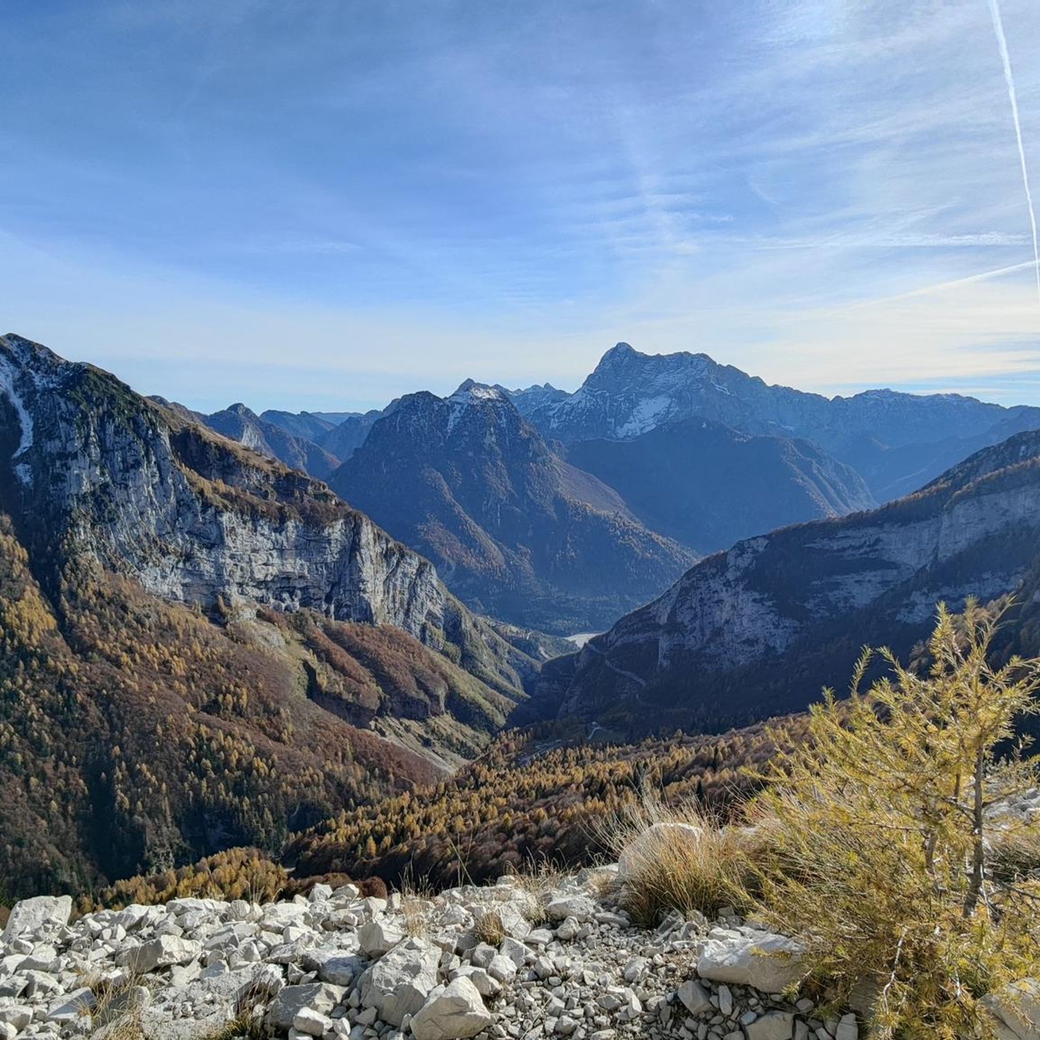
The Duranno fork separates the mountain of the same name from the Centenere peaks. The western side is characterized by rocks, while the eastern side is covered with grass. The view on the Preti peak is excellent. There is a natural cave, useful in case of bad weather, although not particularly comfortable, located at the base of the south-east face of Duranno. Ibex can often be spotted on the small plateau in front of the fork.
2
0

Fork that connects Pian de Cajada to the upper part of the Medassa valley. Wide, grassy and gentle on the Belluno side, severe and stony on the Longaronese side; slope otherwise subject to possible stone discharges
0
0

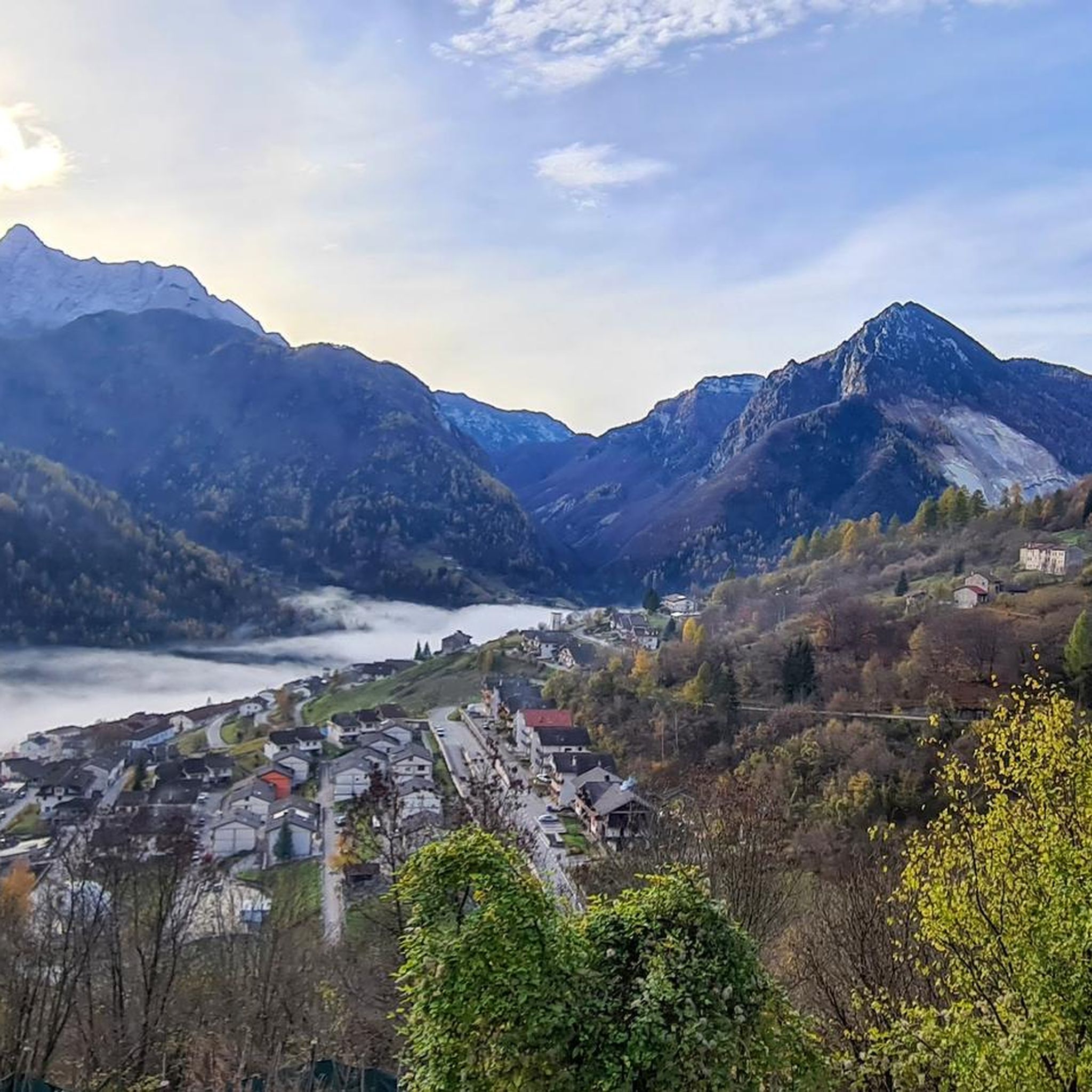
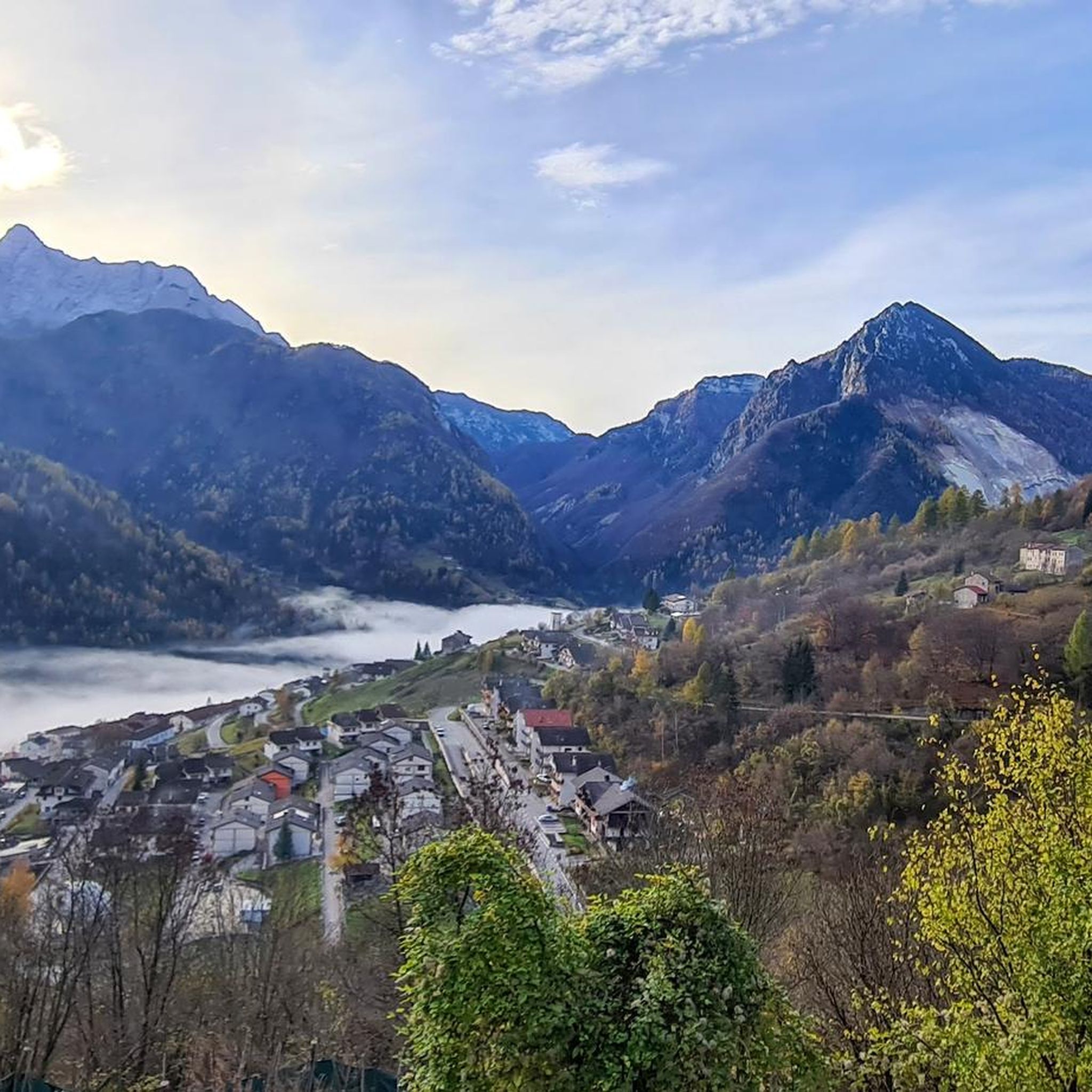
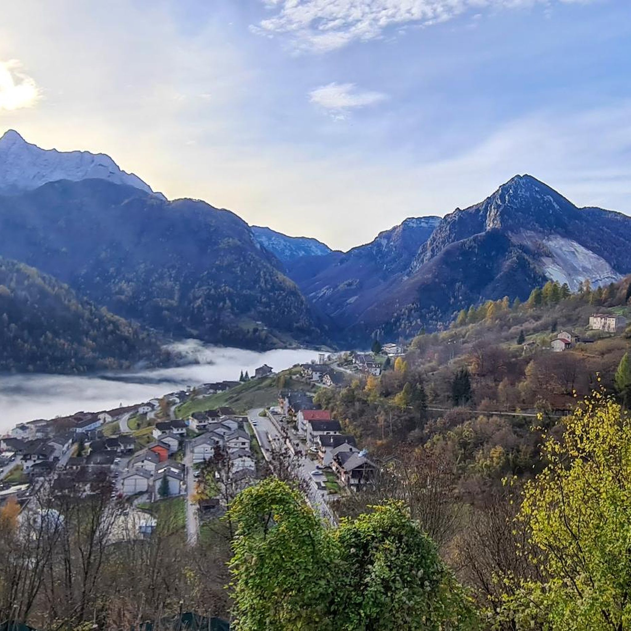
a panoramic glimpse from the piedmont road between S. Martino and Rif. Carota, at the foot of M. Teverone: the saddle of Passo Fadalto in the centre, with on the right. Mount Faverghera, on the left. the Cansiglio plateau and the lake of S. Croce. From this perspective, it is easy to understand how the massive prehistoric landslide of M. Millifret was able to divert the course of the Piave river towards Valbelluna, which in ancient times flowed in Val Lapisina through the Fadalto, determining the formation of the lake of S. Croce
0
0

The direct route towards Bivacco Greselin is blocked. Great view of Cima dei Preti. Below the Cime Centenere, spacious cave that could be suitable as a Noterstand. Ibex often on the plateau in front of the Forcella!
1
0

Highlight inserted to facilitate the Tour calculation algorithm. I will add comments and photos as well.
0
0
Frequently Asked Questions
What are some of the key mountain passes directly accessible from Erto e Casso?
Several significant passes are in the immediate vicinity. These include Forcella del Duranno, known for its views and wildlife, Valbona Pass, offering access to high alpine ridges, and Deona Pass – Copada Alta. Additionally, Passo di Sant'Osvaldo connects Erto e Casso to Val Cimoliana and holds historical significance related to the Vajont disaster.
Are there mountain passes near Erto e Casso that offer historical insights?
Yes, Passo di Sant'Osvaldo is particularly notable. After the 1963 Vajont disaster, a significant barrier known as 'Il Muro della vergogna' (The Wall of Shame) was built there. While a somber reminder, it offers scenic views and is a key access point to the Vajont Valley, an area rich in history and natural beauty. Erto itself is a mountain hamlet declared a National Monument in 1976.
Which mountain passes are recommended for cycling enthusiasts in the broader region?
For cyclists, Passo della Mauria is highly recommended due to its scenic and 'pedalable' route, connecting Lorenzago di Cadore with Forni di Sopra. Another challenging option is Passo Pura, known for its significant gradients and inclusion in the Giro d'Italia, offering a rewarding experience for experienced riders.
What kind of wildlife can I expect to see around the mountain passes?
Around Forcella del Duranno, visitors often spot ibex on the small plateau in front of the fork. The surrounding area, including trails in the Zemola Valley, is ideal for observing various alpine wildlife.
Are there any mountain passes suitable for families or those looking for easier routes?
While many passes in the Dolomites can be challenging, some areas offer more accessible experiences. For instance, the general vicinity of Erto e Casso provides opportunities for trekking and mountain biking that can be tailored to different skill levels. When planning, look for routes described as 'intermediate' or 'family-friendly' in the highlight details, though specific passes might involve more strenuous sections.
What are the best viewpoints among the mountain passes near Erto e Casso?
The View of Conca dell'Alpago and Lake Santa Croce offers a panoramic glimpse of the Conca dell'Alpago, Lake Santa Croce, and the Fadalto Pass. Forcella del Duranno provides excellent views of the Preti peak. Many passes, like Deona Pass – Copada Alta, are also noted for their scenic vistas.
What outdoor activities can I do near these mountain passes?
The region around Erto e Casso is excellent for various outdoor activities. You can find numerous mountain hikes, road cycling routes, and running trails. The area is particularly known for trekking, climbing, and mountain biking amidst impressive peaks like Borgà, Duranno, and Monte Toc.
Are there any refuges or shelters available near the mountain passes?
Yes, near Valbona Pass, the Col Nudo shelter offers a welcoming refuge for rest and shelter. Additionally, Deona Pass – Copada Alta is also associated with a hut, providing options for overnight stays or breaks during longer excursions.
What makes <a href="https://www.komoot.com/highlight/6327823" target="_blank" rel="noopener">Càneva Pass</a> unique?
Càneva Pass connects Pian de Cajada to the upper part of the Medassa valley. It is characterized by its contrasting landscapes: wide, grassy, and gentle on the Belluno side, yet severe and stony on the Longaronese side, with a slope prone to stone discharges.
What is the best time of year to visit the mountain passes around Erto e Casso?
The best time to visit generally depends on your planned activities. Summer and early autumn offer ideal conditions for hiking, cycling, and climbing, with pleasant temperatures and clear trails. In winter, some passes like Passo della Mauria offer opportunities for cross-country skiing, but many high alpine routes may be inaccessible due to snow.
Can I find information about the geological features of the area around the passes?
Yes, the region is rich in geological interest. For example, the View of Conca dell'Alpago and Lake Santa Croce reveals the geological impact of a massive prehistoric landslide from Monte Millifret, which diverted the course of the Piave river and led to the formation of Lake Santa Croce.
Are there any specific challenges or technical difficulties to be aware of on certain passes?
Some passes, like Valbona Pass, provide access to ridges that may present technical difficulties, particularly for those climbing towards peaks like Col Nudo. Always check route descriptions and conditions before embarking on challenging trails.
Most popular routes around Erto E Casso
Most popular attractions around Erto E Casso

Get inspired with the komoot mobile app


Explore more
See even more epic mountain passes by checking out these guides around Erto E Casso:
