The best walks and hikes around Lozio
4.4
(216)
1,450
hikers
29
hikes
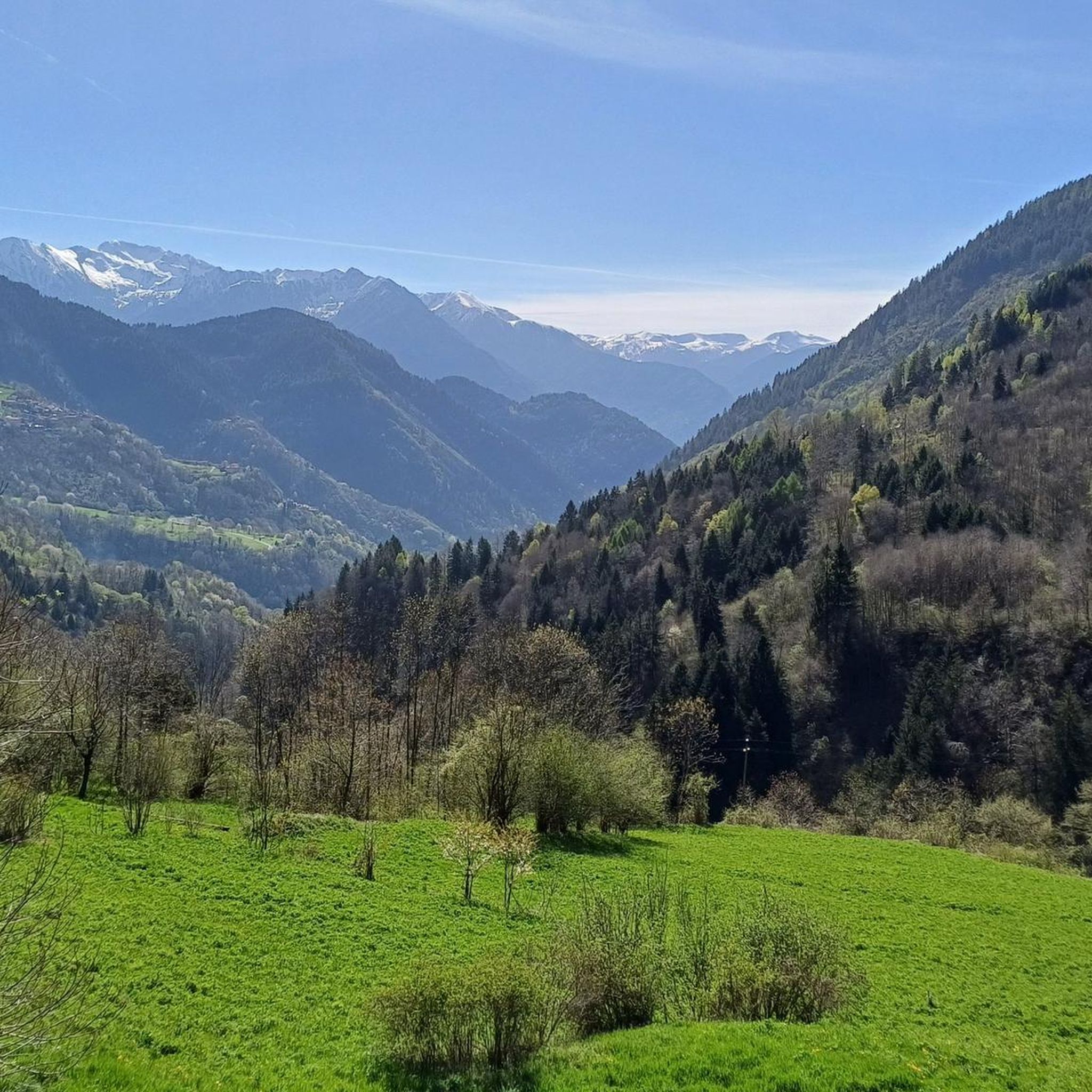
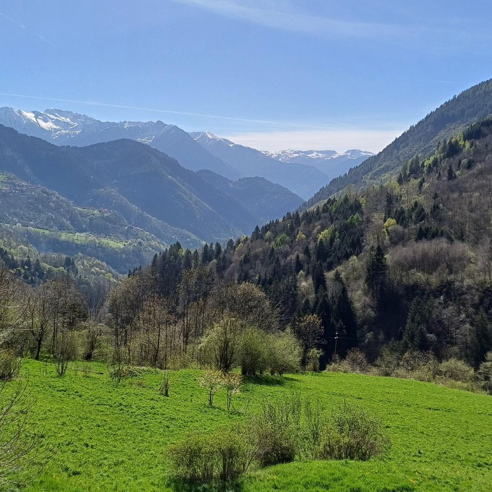
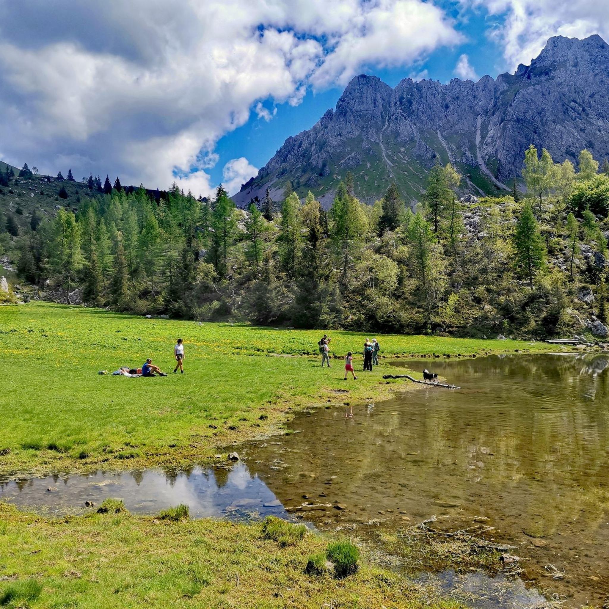
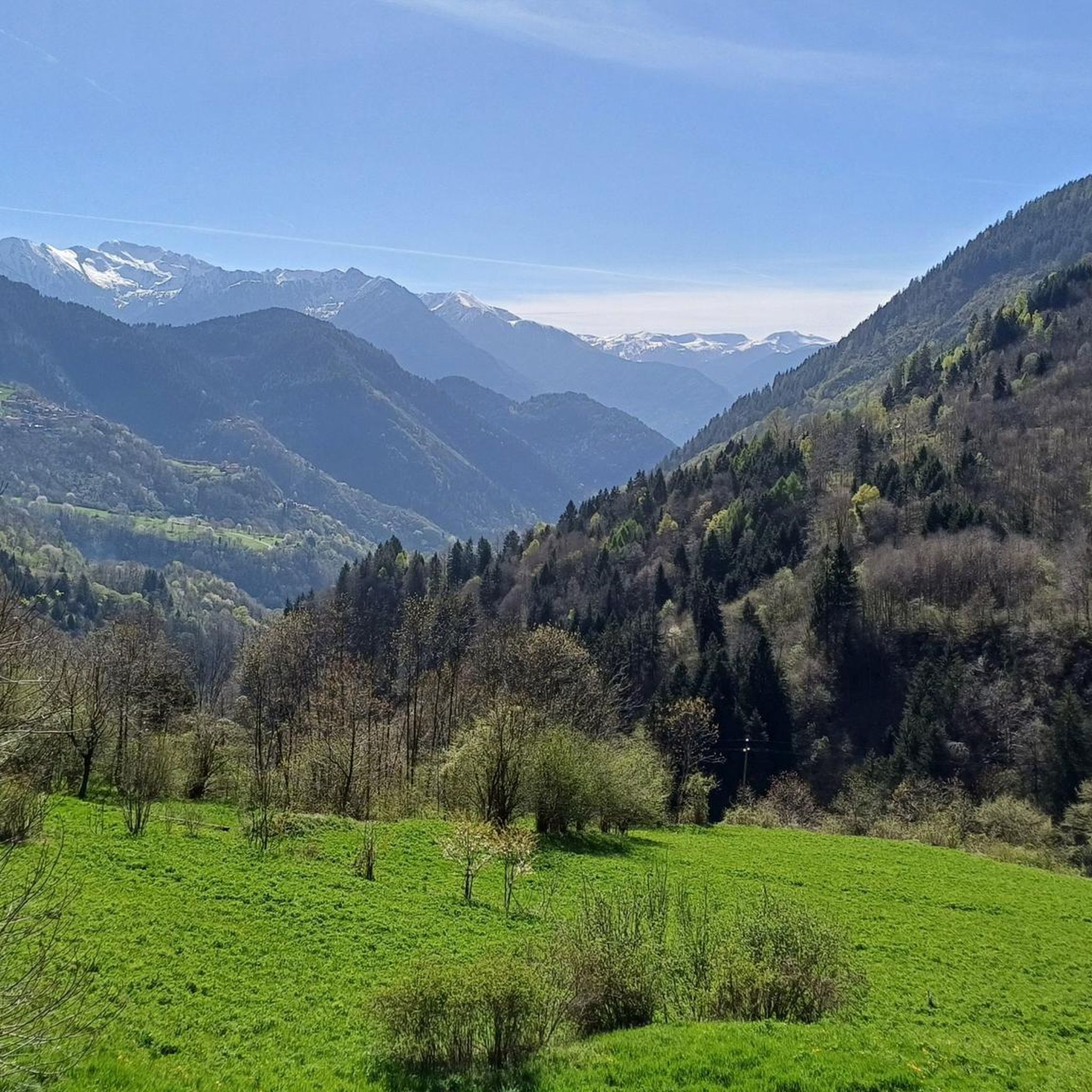
Hiking around Lozio offers access to diverse mountainous terrain within Val Camonica, Lombardy, Italy. Situated between 800 and 1000 meters above sea level, the region is characterized by rocky mountains, extensive pine and coniferous forests, and expansive valleys. Hikers can experience the slopes of the Concarena and the foot of Cimon della Bagozza mountains, providing panoramic views across the Central Alps.
Best hiking trails around Lozio
- The most popular hiking route is Brigata Fiamme Verdi Giacomo Cappellini Trail, a 4.4 miles (7.1 km) trail that takes 2 hours 18 minutes to complete. This moderate route offers varied terrain through the local landscape.
- Another top favourite among local hikers is Trekking tra malghe e menhir in Valle Camonica, a difficult 9.5 miles (15.3 km) path. This trail explores the wider Val Camonica, featuring high-altitude pastures and ancient megaliths.
- Local hikers also love the Malga Mignone – Rifugio Laeng loop from Castello di Lozio, a 8.0 miles (12.9 km) trail leading through mountain pastures and towards a mountain hut, often completed in about 4 hours 45 minutes.
- Hiking around Lozio is defined by rocky mountains, extensive forests, and panoramic views across the Central Alps. The network offers options for various ability levels, from moderate forest paths to challenging mountain ascents.
- The routes in Lozio are highly rated by the komoot community with an average score of 4.4 stars from over 170 reviews. More than 1,200 hikers have used komoot to explore Lozio's varied terrain.
Last updated: July 7, 2026
4.6
(7)
25
hikers
7.09km
02:18
310m
310m
Hike the moderate 4.4-mile Brigata Fiamme Verdi Giacomo Cappellini Trail, gaining 1012 feet through historic Val Camonica.
1
hikers
15.3km
05:46
860m
860m
Ancient menhir stones and traditional mountain farms blend history with alpine hospitality in UNESCO-listed Valle Camonica.

Sign up for free
4.8
(5)
58
hikers
12.8km
04:44
780m
780m
Moderate hike. Good fitness required. Mostly accessible paths. Sure-footedness required.
4.8
(6)
44
hikers
7.73km
05:04
900m
900m
Hard hike. Very good fitness required. Sure-footedness, sturdy shoes and alpine experience required.
4.6
(5)
27
hikers
15.5km
06:51
1,170m
1,170m
Hard hike. Very good fitness required. Sure-footedness, sturdy shoes and alpine experience required.
Get access to more routes and recommendations from other explorers.
Sign up for free
Already have an account?
Our route recommendations are based on thousands of hikes, rides, and runs completed by other people on komoot.
Start today with a free account
Your next adventure awaits.
Login or Signup


Tips from the Community

cross in memory of all wars in malga Vai Piane
0
0
To go up to the Lifretto pass or Vai Piane alpine hut, you can follow this path instead of the dirt road
0
0
Malga di Vai Piane is a mountain pasture hut in Val Camonica, located just below the ridge leading to Passo di Lifretto and Monte di Vai Piane. It is a key point if you are exploring the area between Borno – Ossimo – Lozio and the connections towards Val di Scalve. 📍 Where it is located Searches identify it as “Malga Valli Piane” in the territory of Lozio (BS), at an altitude of around 1,850–1,900 m. Coordinates found: 46.0043 N, 10.2122 E It is located on a very open grassy plateau, at the foot of Monte di Vai Piane (2,009 m). 🥾 How to get there 1) From Ossimo Superiore / Borno (Camunon side) This is the easier and more frequented side: Agro-silvo-pastoral road to Malga Val Piane (pay attention to seasonal restrictions). From there, a clear path climbs towards the upper malga. Wide environment, pastures and views of the Concarena group. 2) From Passo di Lifretto (Bergamo side) If you arrive from CAI 420 from Schilpario, you cross the Passo di Lifretto and descend towards the Camunon basin: Descent on grassy and stony terrain. The malga is located just below the ridge, clearly visible. 🏞️ Environment and characteristics Large high-altitude pastures, very open and bright. Quiet and less-trafficked area, especially compared to the nearby routes of Bivacco Valzer or Monte Pizzo Camino. Excellent point for: climbing Monte di Vai Piane (+40 min) traversing towards Passo di Lifretto connecting to the routes of Lozio – Laveno – Ossimo
0
0
Passo di Lifretto is a solitary and scenic pass at 1,997 m between Val di Scalve and Val Camonica, reachable mainly from the Schilpario side via CAI trail 420. 🏔️ What is Passo di Lifretto The Passo di Lifretto (1997 m) is a secondary but very evocative watershed between: Val di Scalve (BG) – Schilpario side Val Camonica (BS) – Malga Vai Piane area / former trail no. 6 now 106 It is an isolated, silent, very open place, with a wide view of the peaks of Val Camonica and the grassy basin at the foot of Monte di Vai Piane. The pass is a connecting point between the trail networks of Bergamo and Brescia. 🥾 How to reach it From the Bergamo side – Schilpario (Fondi) The most classic route is CAI Trail 420, described by CAI Bergamo. Main characteristics: Start: Fondi di Schilpario (parking at the small church of S. Barbara) Difficulty: E (hiking) Ascent time: 2h15 Elevation gain: ~900 m Exposure: North-west Recommended period: May–October Trail route (summary) Cross the Dezzo river and climb into the woods. Encounter trail 419 (“sintèr lónc”). Deviate towards Malga di Lifretto Superiore (1570 m). Enter the basin below Monte di Vai Piane. Face a steep section up to the Glera channel, with old, detached metal cables (unreliable). Cross the channel and ascend with a gentler slope to Passo di Lifretto. 🧭 Connections from the pass Trail 106 (former no. 6) towards Val Camonica Extra climb to Monte di Vai Piane: +50 min, difficulty E, very wide panorama 🧱 Terrain and difficulty The route is classified E, but features: a technical section in the Glera channel, with unstable terrain old, no longer safe cables sustained slopes in the central part 🌄 Why it's worth it Wild and little-frequented environment Open panorama over Val Camonica Very scenic grassy basin below Vai Piane Possibility to link longer itineraries (Vivione, Bagozza, 419, Vai Piane)
0
0
🐄 Malga Mignone — Borno (Valle Camonica) 📍 Location Malga Mignone is located above Lago di Lova, along the ridge that climbs towards: Colle Mignone, Monte Mignone, the junction for Rifugio Laeng, the panoramic trail towards Rifugio San Fermo. It is an important hub between trails 103, 104, 109, 110, 182 and the upper section of CAI 82. 🏞️ Environment The mountain hut is located in an area: grassy and open, with a view of Lago di Lova and the peaks of the Camino group, surrounded by huts and summer pastures. It is a perfect place for an intermediate break before climbing towards Varicla or towards the San Fermo ridge. 🚶♂️ How to get there From Borno – Navertino → Lago di Lova The most common route: Departure from Navertino. Climb through the woods to Lago di Lova (trail 109). Skirt the lake. Take the trail that climbs towards the hut: steep, suitable for hikers accustomed to elevation gain. From Lago di Lova → Colle Mignone → Malga Mignone Climb on steep grassy slopes, but with an intuitive direction. Possible loop with return on dirt roads. 🔗 Main connections From Malga Mignone, trails depart or pass towards: Rifugio Laeng (via trails 110 and 182) Rifugio San Fermo (continuing left, section not always marked) Monte Mignone (1743 m) Colle Mignone (1535 m), a crossroads of various itineraries ⭐ Why it's an important point It is the crossroads of almost all itineraries in the Lova–Varicla area. It offers wide views and a very bright environment. It is an excellent point for medium-difficulty hiking loops. It allows you to modulate the trip: more challenging climbs (Mignone, Arano, Laeng) or gentler ones (return to Lova).
0
0
🐄 Malga Mignone — Borno (Valle Camonica) 📍 Location Malga Mignone is located above Lago di Lova, along the ridge that climbs towards: Colle Mignone, Monte Mignone, the junction for Rifugio Laeng, the panoramic trail towards Rifugio San Fermo. It is an important hub between trails 103, 104, 109, 110, 182 and the upper section of CAI 82. 🏞️ Environment The malga is located in an area: grassy and open, with a view of Lago di Lova and the peaks of the Camino group, surrounded by huts and summer pastures. It is a perfect place for an intermediate break before climbing towards Varicla or the San Fermo ridge. 🚶♂️ How to get there From Borno – Navertino → Lago di Lova The most common route: Starting from Navertino. Climb through the woods up to Lago di Lova (trail 109). Skirt the lake. Take the path that climbs towards the malga: steep, suitable for hikers accustomed to elevation gain. From Lago di Lova → Colle Mignone → Malga Mignone Ascent on steep grassy slopes, but with an intuitive direction. Possible loop with return on dirt roads. 🔗 Main connections From Malga Mignone, trails depart or pass for: Rifugio Laeng (via trails 110 and 182) Rifugio San Fermo (continuing left, section not always marked) Monte Mignone (1743 m) Colle Mignone (1535 m), a crossroads of various itineraries ⭐ Why it's an important point It is the crossroads of almost all itineraries in the Lova–Varicla area. It offers wide views and a very bright environment. It is an excellent point for medium-difficulty hiking loops. It allows you to modulate the trip: more challenging climbs (Mignone, Arano, Laeng) or gentler ones (return to Lova).
1
0
Frequently Asked Questions
How many hiking trails are available around Lozio?
Lozio offers a wide variety of hiking experiences, with over 25 trails available. These routes cater to different skill levels, ranging from moderate forest paths to more challenging mountain ascents.
What kind of terrain can I expect on hikes around Lozio?
The terrain around Lozio is diverse and mountainous, characterized by rocky peaks, extensive pine and coniferous forests, and expansive valleys. You'll find paths winding through high-altitude pastures, alongside streams, and sometimes through karst landscapes with unique geological formations.
What is the best time of year to go hiking in Lozio?
The best time for hiking in Lozio is generally from late spring through early autumn (May to October), when the weather is mild and trails are clear of snow. During winter, some higher altitude routes become suitable for ski mountaineering or snowshoeing, but require appropriate gear and experience.
Are there challenging hikes for experienced trekkers in Lozio?
Yes, Lozio is an excellent base for challenging hikes. Routes like the Trekking tra malghe e menhir in Valle Camonica offer significant elevation gain and explore the wider Val Camonica. For expert hikers, the Concarena Massif, with trails leading towards Cima Bacchetta, presents strenuous options with sections of loose scree and mountaineering elements. The region also provides access to parts of the multi-day Adamello Trail number 1 for very experienced hikers.
Can I find easier, family-friendly hiking options near Lozio?
While many routes offer a challenge, there are also moderate trails suitable for families or those seeking a less strenuous walk. These often lead through the region's beautiful forests and offer gentle ascents. For example, the Brigata Fiamme Verdi Giacomo Cappellini Trail is a moderate option that provides varied terrain through the local landscape.
Are there any circular hiking routes available in Lozio?
Yes, several circular routes allow you to start and end in the same location. A popular option is the Malga Mignone – Rifugio Laeng loop from Castello di Lozio, which takes you through mountain pastures. Another is the Church of Santa Cristina – Bivacco Val Baione loop from Lozio, offering a more difficult but rewarding experience.
What natural features or landmarks can I discover while hiking in Lozio?
Lozio's hikes offer stunning natural beauty. You can encounter dramatic rocky mountains like the Concarena and Cimon della Bagozza, extensive pine forests, and panoramic viewpoints such as the Campelli Pass (Campelli Pass). The area is also home to unique karst formations and features like the Vò Waterfall and several alpine lakes, including Lova Lake and Lake Valbona.
Are there any historical sites or cultural attractions to visit near the trails?
Beyond its natural allure, Lozio holds historical interest. The main village of Villa in Lozio features a medieval castle with a tower, albeit in ruins, which can be a destination for excursions. Additionally, the Val Camonica itself is a UNESCO World Heritage site known for its ancient rock carvings, adding a cultural dimension to your visit.
What do other hikers enjoy the most about hiking in Lozio?
The hiking trails in Lozio are highly rated by the komoot community, with an average score of 4.4 stars from over 170 reviews. Hikers frequently praise the diverse mountainous terrain, the extensive forests, and the panoramic views across the Central Alps. The network of trails offers options for various ability levels, ensuring there's something for everyone.
Is public transport available to access hiking trails in Lozio?
While Lozio is nestled in a mountainous region, public transport options might be limited directly to all trailheads. It is advisable to research local bus services connecting to the main villages or consider driving to access a wider range of starting points for your hikes.
Where can I park my car when hiking in Lozio?
Parking is generally available in the main villages and hamlets of Lozio, such as Sommaprada or near Castello di Lozio, which serve as common starting points for many trails. Specific parking details can often be found on individual route descriptions on komoot.
Are dogs allowed on the hiking trails in Lozio?
Many trails in the Lozio area are dog-friendly, allowing you to enjoy the natural beauty with your canine companion. However, it's always recommended to keep dogs on a leash, especially in areas with wildlife or livestock, and to check specific trail regulations for any restrictions.
Can I find places to eat or drink near the hiking routes?
While the trails themselves are often in natural, undeveloped areas, you can find cafes, restaurants, or mountain huts (rifugi) in the villages of Lozio or at key points along longer routes, such as the Cimon della Bagozza Hut near the Campelli Pass. These provide opportunities for refreshments and meals.
Most popular attractions around Lozio

Get inspired with the komoot mobile app


Explore more
Browse the best Hikes in other regions.
