The best MTB trails around Lozio
4.5
(467)
3,473
riders
167
rides
Mountain biking around Lozio features a landscape characterized by deep valleys, mountain passes, and extensive gravel roads, providing varied terrain for cyclists. The region includes significant elevation changes, with routes traversing areas like Mount Mignone and offering views of Lake Lova. Riders can expect a mix of challenging climbs and scenic descents through forested areas and open mountain environments. This area provides a robust network of mountain bike trails suitable for different skill levels.
Best mountain bike trails around Lozio
…Last updated: July 6, 2026
4.2
(31)
190
riders
54.9km
03:11
320m
320m
Moderate mountain bike ride. Good fitness required. Suitable for all skill levels.
4.8
(6)
139
riders
43.8km
03:56
1,200m
1,200m
Hard mountain bike ride. Very good fitness required. Advanced riding skills necessary.

Sign up for free
4.4
(16)
55
riders
41.9km
04:16
1,710m
1,710m
Hard mountain bike ride. Very good fitness required. Suitable for all skill levels.
4.9
(7)
39
riders
41.1km
03:44
1,200m
1,200m
Hard mountain bike ride. Very good fitness required. Advanced riding skills necessary. Some portions of the route may require you to push your bike.
4.3
(7)
36
riders
50.7km
04:12
1,130m
1,130m
Hard mountain bike ride. Very good fitness required. Suitable for all skill levels.
Get access to more routes and recommendations from other explorers.
Sign up for free
Already have an account?
Our route recommendations are based on thousands of hikes, rides, and runs completed by other people on komoot.
Start today with a free account
Your next adventure awaits.
Login or Signup


Tips from the Community

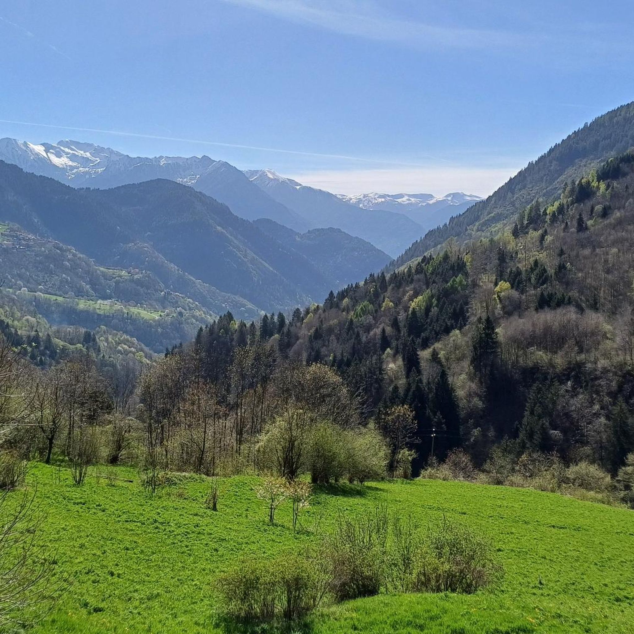
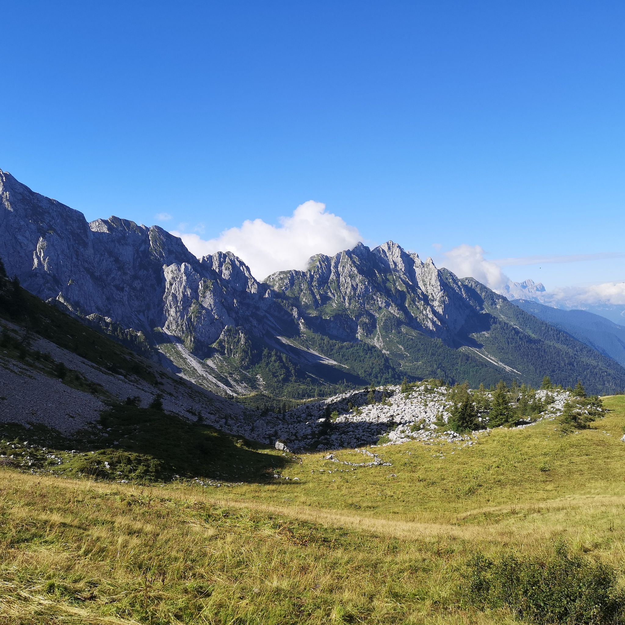
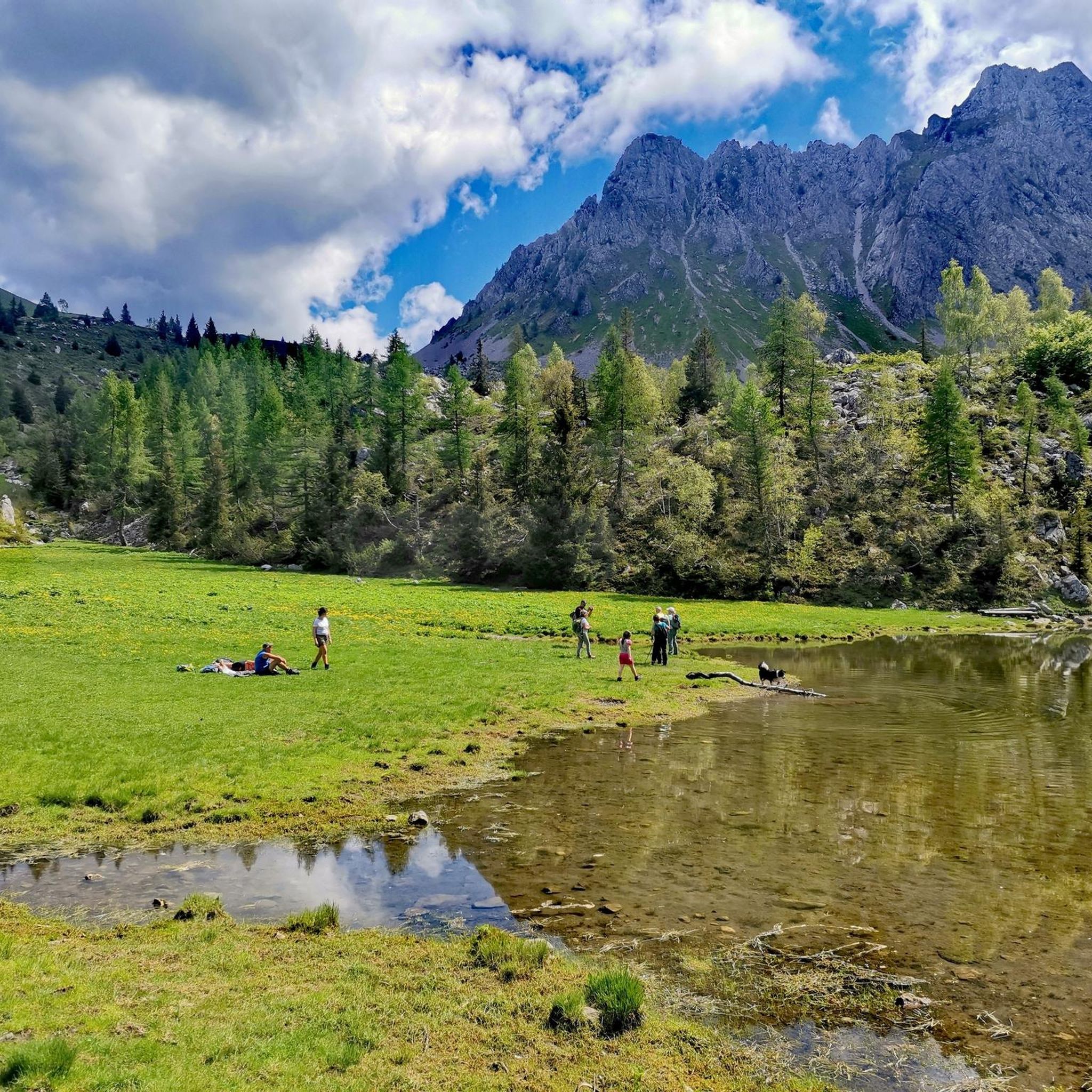
The Malga di Val Sorda is not a "classic" alpine pasture hut with grazing activities, but a hiking landmark located in the large meadow of Val Sorda, along the paths that lead from Croce di Salven towards Pratolungo, Malga Guccione, and finally Monte Altissimo. Online information describes it as part of the valley's pasture and pool system, crossed by CAI trails 186 and 187. 📍 Location The hut is located in the central pasture of Val Sorda, reached after about 1h10 of walking from Croce di Salven along trail 186. It is a junction point between: trail 186 (towards Pratolungo and Altissimo) trail 187 (steeper, climbs towards the Val Sorda refuge/structure)
0
0

To reach Montecchio di Darfo, starting from Boario, you cross the so-called "Roman Bridge," also known as the Montecchio Bridge. It is a scenic 24-meter, single-span bridge, built from blocks of granite and Simona stone in 1686, over the remains of an older bridge that connected the medieval castle on Monticolo to the opposite bank of the river. It has been recognized as a national monument. (from valcamonicaaccessibile.it)
0
0
Years of collaboration between organizations distributed along the Oglio River, the "backbone" of the route, have led to the development of a route approximately 280 km long that crosses Lombardy from north to south, crossing the provinces of Brescia, Bergamo, Cremona, and Mantua. The start is at the Tonale Pass, at an altitude of 1,883 meters in the heart of the Adamello Park mountains, while the finish is at an altitude of 21 meters, at the Ponte di Barche in San Matteo delle Chiaviche: the elevation gain is 1,862 meters along a route that is 80% asphalt and 20% dirt. The prestigious recognition of “most beautiful cycle path in Italy” for 2019 was awarded by the jury of experts of the Italian Green Road Award, presented in February 2019 during the Cosmobike Show event, held at the Verona Fair.
0
0
Along the Oglio cycle path there are many benches placed in strategic positions
0
0

A very pleasant climb from Val di Scalve to Borno. Beautiful and not particularly challenging. 😊
2
0

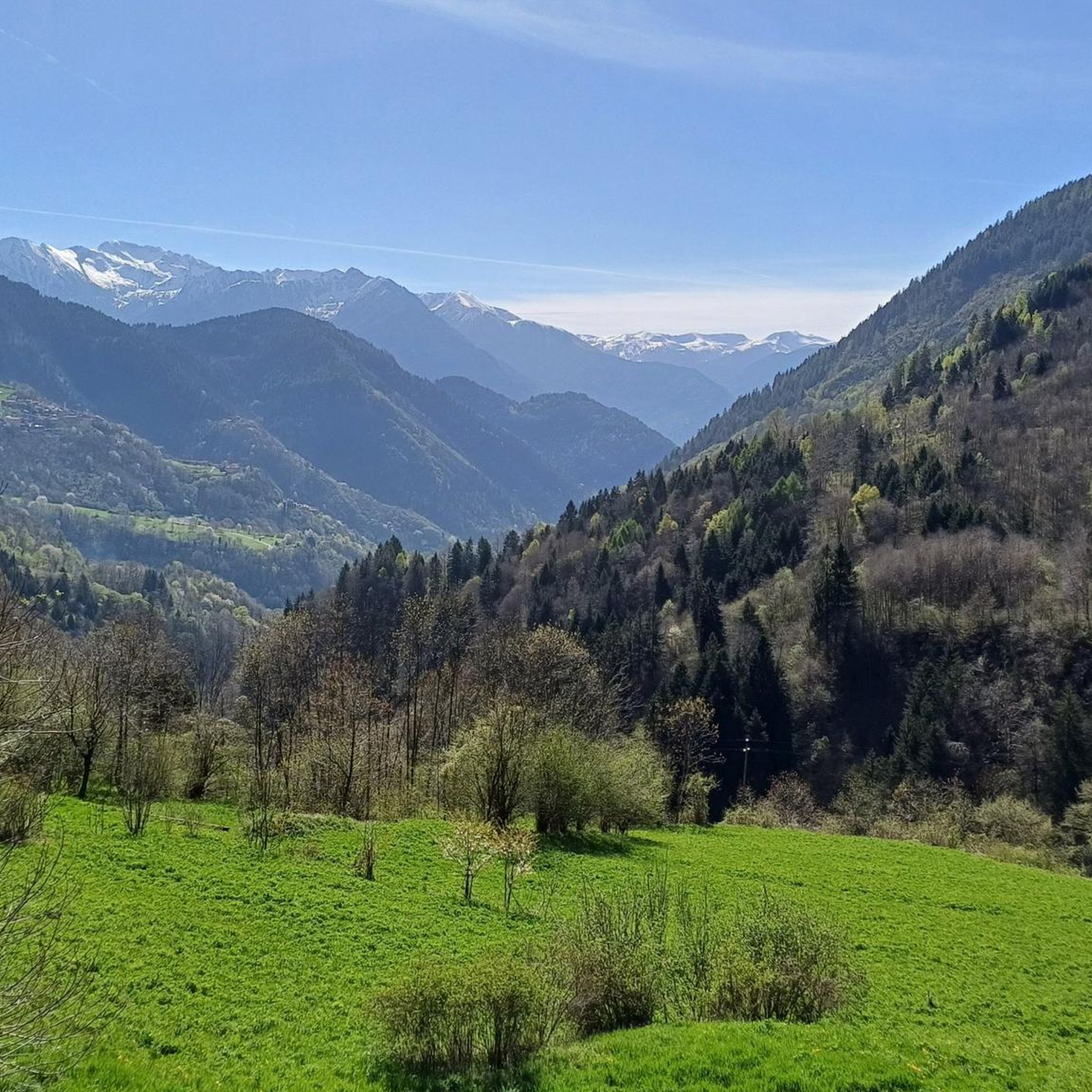
It's nice to cycle in Val Sorda, if you want there are routes that take you to the highest mountain, with a spectacular view...
0
0

Perfect for driving. Beautiful panorama.
0
1

The Valle Camonica Cycle Path is a route that winds along the Oglio River, offering a panoramic itinerary through mountains, historic villages and natural landscapes. The route, suitable for cyclists of all levels, passes through characteristic villages of the valley, allowing you to discover places rich in history and culture, such as the UNESCO World Heritage rock carvings.
0
0
Frequently Asked Questions
How many mountain bike trails are available around Lozio?
There are over 150 mountain bike trails around Lozio, offering a wide range of options for different skill levels. This includes 13 easy routes, 67 moderate routes, and 79 difficult routes.
Are there any easy or beginner-friendly mountain bike trails in Lozio?
Yes, Lozio offers 13 easy mountain bike trails suitable for beginners or those looking for a more relaxed ride. A good option is the Valle Camonica Cycle Route – Oglio Cycle Path loop from Breno, which is a moderate route following a cycle path through the valley, offering a gentle introduction to the region's cycling.
What kind of terrain can I expect on mountain bike trails in Lozio?
The terrain around Lozio is characterized by deep valleys, mountain passes, and extensive gravel roads. You'll encounter significant elevation changes, with routes traversing areas like Mount Mignone, offering a mix of challenging climbs and scenic descents through forested areas and open mountain environments.
Are there any challenging mountain bike routes for experienced riders?
Absolutely. Lozio has 79 difficult mountain bike trails. For experienced riders seeking a challenge, consider the Mount Mignone – Lake Lova loop from Valle Lovareno, which features significant elevation gain and stunning views of Lake Lova. Another demanding option is the View of Val Camonica – Croce Domini Pass loop from Breno, known for its substantial climbs.
What are the best times of year for mountain biking in Lozio?
Given Lozio's mountainous terrain, the best time for mountain biking is typically from late spring through early autumn (May to October). During these months, the weather is generally more stable, and trails are free from snow, offering optimal conditions for riding.
Are there mountain bike trails that form a loop in Lozio?
Yes, many of the mountain bike trails in Lozio are designed as loops. For example, the Beautiful gravel road – Malga Valsorda loop from Castello di Lozio is a popular circular route that takes you through gravel roads and mountain terrain. Another loop option is the Beautiful gravel road – Croce di Salven Pass loop from Schilpario.
What do other mountain bikers say about the trails in Lozio?
The mountain bike trails in Lozio are highly rated by the komoot community, with an average score of 4.5 stars from over 600 reviews. Riders often praise the varied terrain, the scenic beauty of the valleys and mountain passes, and the well-maintained gravel roads.
Are there any scenic viewpoints or natural attractions along the mountain bike routes?
Yes, the routes often provide stunning views, such as those of Lake Lova from the Mount Mignone – Lake Lova loop. The region is also home to several notable mountain passes like Campelli Pass and Vivione Pass, which offer panoramic vistas. You can also find various huts and cabins, such as Campione Hut, which can serve as scenic stops.
Are there any places to eat or drink near the mountain bike trails in Lozio?
While specific cafes or pubs directly on every trail are not listed, the region has several huts and cabins, such as San Fermo Hut and Nani Tagliaferri Hut, which often offer refreshments or meals. Towns like Breno and Castello di Lozio, which serve as starting points for many routes, will also have dining options.
What are the typical trail conditions like in Lozio?
The trails in Lozio consist of a mix of cycle paths, extensive gravel roads, and mountain paths. Conditions can vary with weather, but generally, the gravel roads are well-maintained. Mountain sections can be more rugged, especially after rain. It's always advisable to check local weather forecasts before heading out.
Is Lozio suitable for family mountain biking?
While many routes involve significant elevation, the region does offer easier trails that could be suitable for families with some biking experience. The cycle path sections, like those found on the Valle Camonica Cycle Route – Oglio Cycle Path loop, are generally flatter and safer for family outings. Always check the difficulty and distance of a route to ensure it matches your family's ability.
Most popular attractions around Lozio

Get inspired with the komoot mobile app


Explore more
Browse the best MTB trails in other regions.
