The best running trails around Cerignale
4.3
(6)
441
runners
30
runs
Jogging routes around Cerignale are situated in the Piacenza Apennines, offering diverse landscapes for runners. The region features mountainous terrain, lush valleys, and pristine rivers, including the Val Trebbia. Trails often traverse through woods and meadows, providing varied surfaces for running. This area is characterized by its natural beauty and a network of paths suitable for different fitness levels.
Best jogging routes around Cerignale
- The most popular jogging route is Trail running on the Via del Sale towards Monte Lesima…
Last updated: August 25, 2026
5.0
(1)
8
runners
19.1km
02:57
920m
920m
Jog the difficult 11.9-mile Via del Sale to Monte Lesima Trail, gaining 3010 feet for panoramic views from the Po Valley to the Ligurian Sea
22.4km
03:20
1,140m
1,130m
Hard run. Very good fitness required. Mostly paved surfaces. Suitable for all skill levels.

Sign up for free
70
runners
41.2km
05:56
2,000m
2,000m
Hard run. Very good fitness required. Mostly paved surfaces. Suitable for all skill levels.
12
runners
Hard run. Very good fitness required. Sure-footedness, sturdy shoes and alpine experience required.
11
runners
Hard run. Very good fitness required. Sure-footedness, sturdy shoes and alpine experience required.
Get access to more routes and recommendations from other explorers.
Sign up for free
Already have an account?
Our route recommendations are based on thousands of hikes, rides, and runs completed by other people on komoot.
Start today with a free account
Your next adventure awaits.
Login or Signup
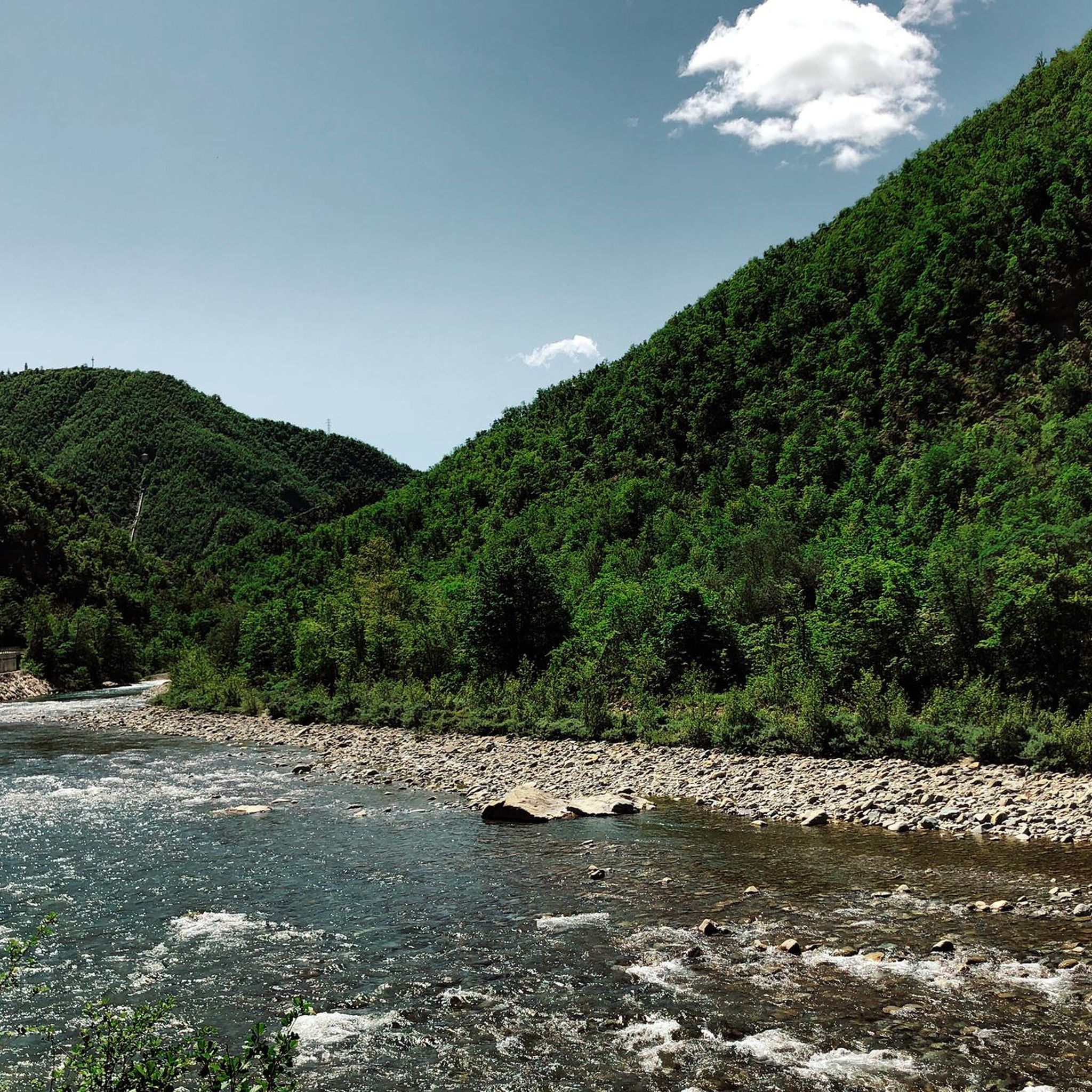
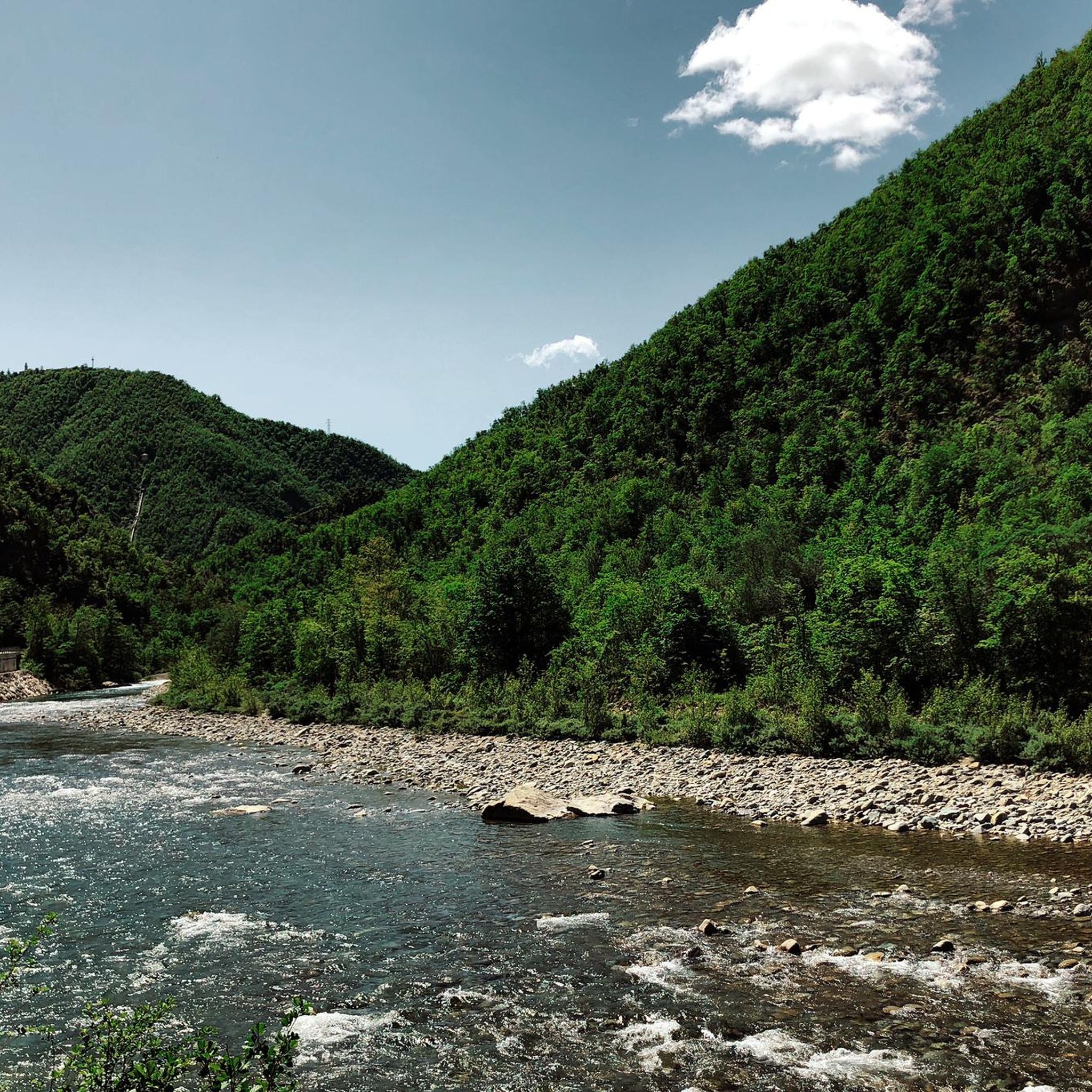
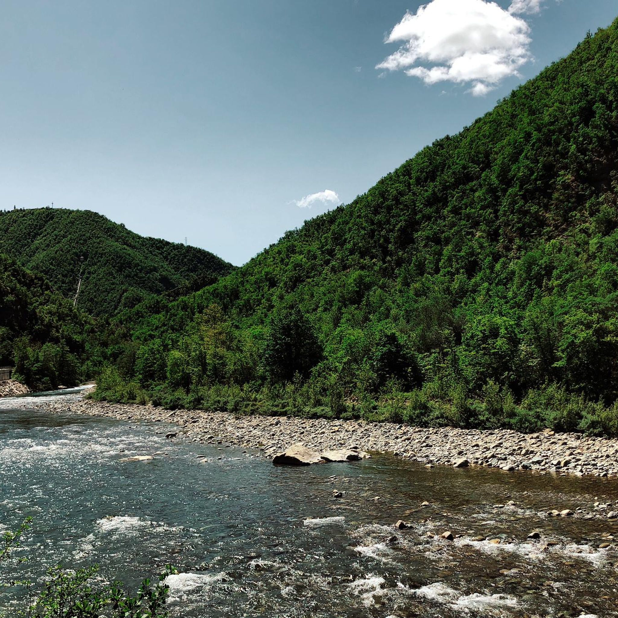
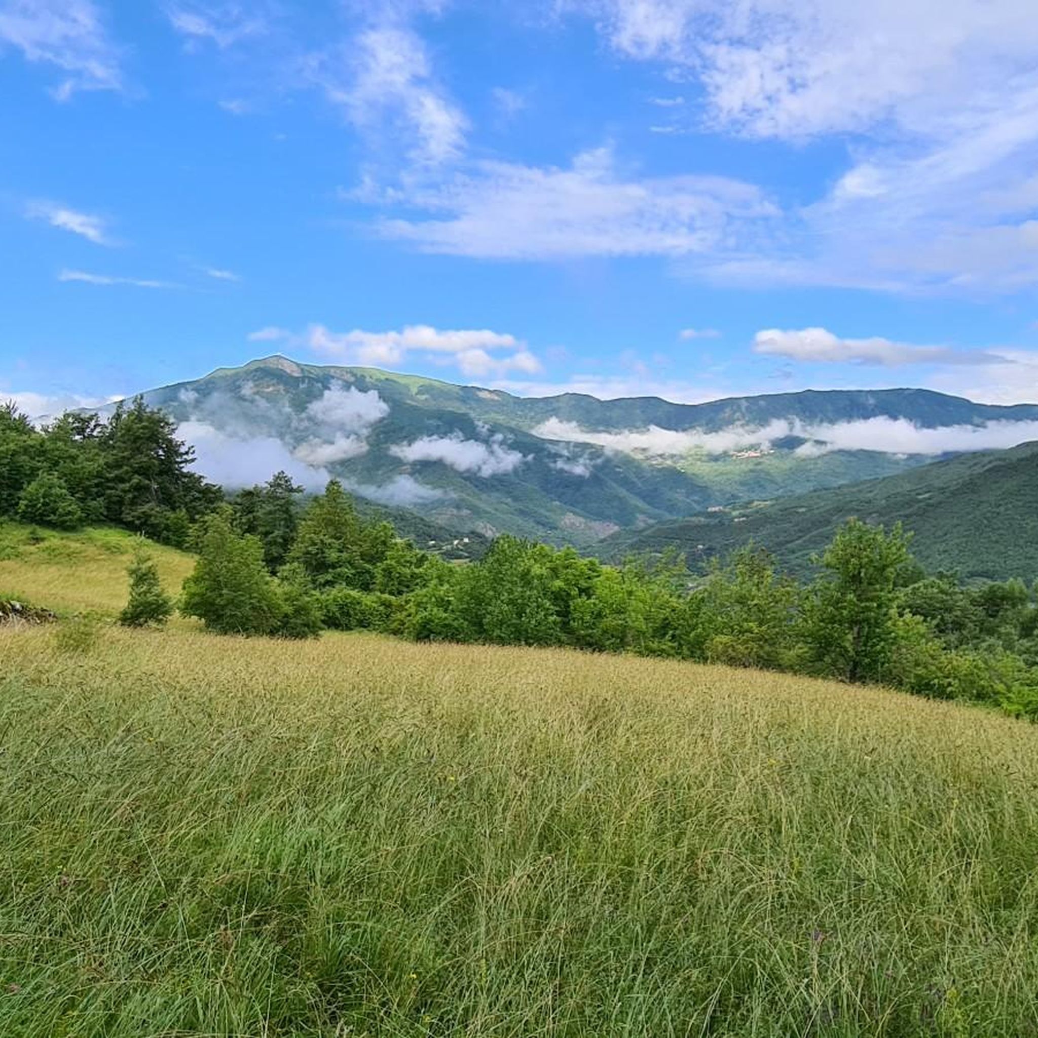
Tips from the Community

The climb to Monte Lesima is one of the most famous hikes/panoramic views in the Apennines between Emilia-Romagna, Lombardy, and Liguria.
10
0

Romantic, suitable for everyone.
0
0
The Ponte Gobbo in Bobbio, also known as the "Devil's Bridge", is a medieval structure 273 meters long with 11 irregular arches, located on the Trebbia River. Legend has it that the Devil built it in one night in exchange for the soul of the first passerby, who was then tricked by Saint Columbanus, who made an animal cross first.
11
0

The small sacred monument we encounter on Monte Carmo is perhaps the perfect place for a brief moment of reflection. A few years ago, Christiane Völkel commented on the wonderfully fitting sentence by the Italian poet Francesco Petrarch (who lived in the 14th century), "Everywhere one has heaven above oneself," as follows: "What is the use of prayer? This question moves me (...) I have found for myself the answer and the certainty that when I pray I am with the Lord, or rather, that when I pray he is often noticeably closer to me than usual. Thus, I retain the possibility of pouring out my heart to him (...) This intimacy with him makes me believe in him."
0
0

Climbing from Selva (a hamlet of Ferriere), keep right and continue towards the GAEP "Vincenzo Stoto" refuge (closed on September 14th) and shortly after you reach the Crociglia Pass. The final section is quite steep, but well-paved. Descent towards the southern slope towards Liguria. I recommend passing through Santo Stefano D'Aveto.
0
0

Mount Crociglia and Mount Carevolo are two of the most panoramic peaks in the entire Piacenza Apennines. Their peaks share common characteristics: first, their shape—large, grass-covered domes—and second, the lack of significant elevations in the immediate vicinity, making them exposed to the wind but also offering exceptionally beautiful viewpoints. The summit of the mountain (1,578 meters), highlighted by the large statue of the Archangel Raphael, erected in memory of those who fell in the mountains: 😓😓 Luigi Mazzocchi 1975 Giulio Fox 1977 Paolo Fox 1977 Pino De Lorenzi 1979 Giovanni Razzini 1981 Giovanni Tosi 1981 Mauro Fariselli 1990 Mario Sanpaolo 1990 Renata Scaramuzza 2002 Emanuele Patti 2017 Luca Bernini 2024 From here you can enjoy a 360° view of the Nure Valley.
0
0

Excellent view of the Piacenza valleys
0
0

Great view between upper Nure valley and middle D'aveto valley
0
0
Frequently Asked Questions
How many running routes are available around Cerignale?
There are over 30 dedicated running routes around Cerignale listed on komoot, offering a wide variety of options for different preferences and fitness levels. These routes are situated in the picturesque Piacenza Apennines.
What kind of terrain can I expect on the jogging routes in Cerignale?
The jogging routes in Cerignale feature diverse terrain, from mountainous paths to lush valleys and pristine riverbanks, particularly along the Val Trebbia. You'll often find yourself traversing through woods and meadows, providing varied surfaces for your run. Some routes, like Trail running on the Via del Sale towards Monte Lesima, involve significant elevation changes.
Are there any easy running routes suitable for beginners in Cerignale?
While many routes in Cerignale are rated as difficult, the region does offer options for various ability levels. The network includes less strenuous paths, though specific 'easy' routes are not explicitly highlighted in the data. It's advisable to check the route details on komoot for elevation and distance to find one that matches your fitness level.
What are some of the longer distance running trails near Cerignale?
For those seeking longer distances, routes like From Artana to Monte Carmo via the Maddalena Pass – loop run cover approximately 22.4 km with significant elevation, offering a challenging and rewarding experience. Another substantial option is Monte Carevolo loop from Cattaragna, which is nearly 20 km long.
Are there any circular jogging routes in the Cerignale area?
Yes, there are several circular jogging routes available. For example, the Monte Saccarello Radar Dome loop from Casale Staffora is a 10.6 km circular trail. Another option is the Mulino di Suzzi loop from Tartago, which is approximately 16.2 km.
What interesting landmarks or natural features can I see along the running routes?
Cerignale's routes offer a wealth of natural beauty and historical points of interest. You might encounter the stunning turquoise waters of the Trebbia River, panoramic views from peaks like Monte Lesima, or unique geological formations such as the 'Elefante del Trebbia'. Historical sites like the ruins of Castello di Cariseto or the Monte Crociglia Summit and Angel Statue can also be found near or along some trails.
Is Cerignale suitable for family-friendly running or walking?
While many routes are challenging, the region's diverse trails mean there are less strenuous options that could be suitable for families. The serene backdrop of the Val Trebbia and paths through woods and meadows offer pleasant environments for outdoor activity. It's recommended to check individual route descriptions for difficulty and length to ensure they are appropriate for all family members.
What is the best time of year for jogging in Cerignale?
The Piacenza Apennines offer beautiful conditions for jogging across multiple seasons. Spring and autumn provide pleasant temperatures and vibrant scenery. Summer is also popular, especially with the opportunity to cool off in the clean waters of the Trebbia River. During colder months, some higher elevation routes might experience snow, making them suitable for snowshoeing rather than jogging, so checking local conditions is advised.
Are there any waterfalls along the running trails in Cerignale?
Yes, the region boasts natural features including waterfalls. You can find the Carlone Waterfall, which could be incorporated into longer trekking or running itineraries, adding a refreshing stop to your outdoor adventure.
What do other runners enjoy most about jogging in Cerignale?
The running routes in Cerignale are highly rated by the komoot community, with an average score of 4.0 stars from more than 4 reviews. Runners often praise the region's untouched natural beauty, the diverse and engaging mountainous terrain, and the panoramic views, especially towards Monte Lesima. The presence of numerous fountains along routes is also a positive aspect for long-distance runners.
Are there options for parking near the trailheads in Cerignale?
While specific parking locations for each trailhead are not detailed, Cerignale is a small village in a rural area, and it's generally possible to find parking near trail starting points. For detailed information on parking for a specific route, it's best to check the individual route page on komoot or local signage upon arrival.
Can I reach the running trails in Cerignale using public transport?
Information regarding specific public transport links directly to trailheads in Cerignale is limited. The region is characterized by its natural setting in the Apennines, and public transport options might be less frequent or extensive compared to urban areas. It's advisable to research local bus services or consider driving to access the trail starting points.
Most popular attractions around Cerignale

Get inspired with the komoot mobile app


Explore more
Browse the best Running Trails & Routes in other regions.
