The best cycling routes around Landriano
4.2
(670)
4,183
riders
17
rides
Touring cycling around Landriano features a predominantly flat landscape, characterized by agricultural fields and a network of waterways. The terrain offers gentle gradients, making it suitable for various cycling abilities. Routes often traverse open countryside, connecting small towns and historical sites. The region's low elevation provides consistent riding conditions without significant climbs.
Best touring cycling routes around Landriano
- The most popular touring cycling route is Campomorto Abbey – Fontanile di Campomorto loop from Landriano, a 30.3 miles (48.7 km)…
Last updated: October 4, 2026
3.0
(2)
21
riders
50.8km
02:55
80m
80m
Moderate bike ride. Good fitness required. Mostly paved surfaces. Suitable for all skill levels.
9
riders
Moderate bike ride. Good fitness required. Mostly paved surfaces. Suitable for all skill levels.

5.0
(2)
8
riders
Easy bike ride. Great for any fitness level. Mostly paved surfaces. Suitable for all skill levels.
4.5
(2)
6
riders
Moderate bike ride. Good fitness required. Mostly paved surfaces. Suitable for all skill levels.
5
riders
Easy bike ride. Great for any fitness level. Mostly paved surfaces. Suitable for all skill levels.
Get access to more routes and recommendations from other explorers.
Already have an account?
Our route recommendations are based on thousands of hikes, rides, and runs completed by other people on komoot.
Start today with a free account
Your next adventure awaits.

Tips from the Community

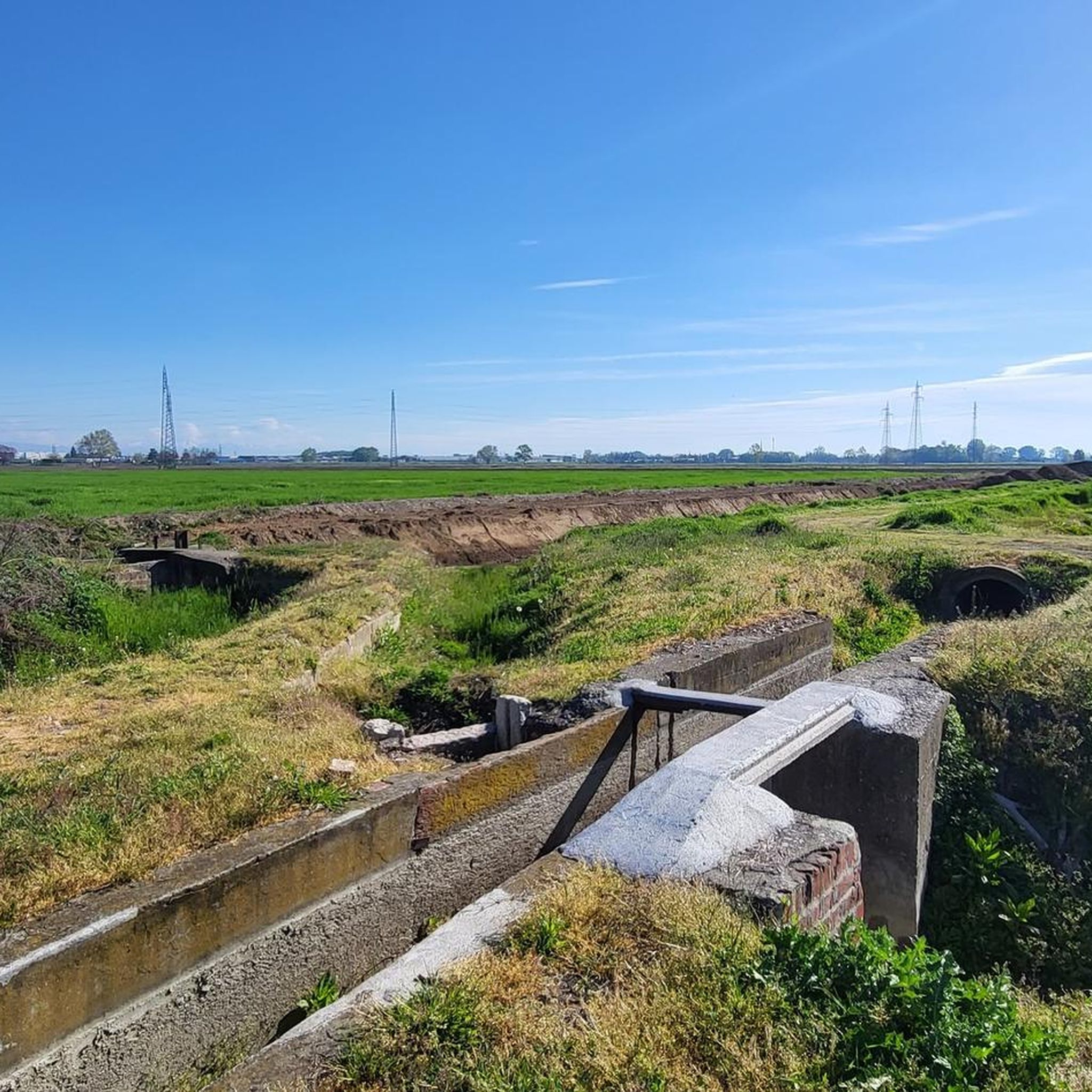
The locks (or conche) of the Naviglio Pavese in Casarile are historic hydraulic works from the 19th century that serve to overcome a water level difference of about 4.8 meters. Main information Location: Along the Naviglio Pavese in the town center of Casarile (MI), between Via Naviglio and Via Roma. Construction period: First half of the 19th century. Function: To regulate the flow of ships and compensate for the difference in the canal's water level along the route between Milan and Pavia. Current state: The area is a destination for cycle tourists along the towpath, although part of the historic structures and control cabins are abandoned or have been repurposed for artisanal and service uses.
0
0

These structures are found more and more often and, unlike classic fountains, they dispense really cold water which, in these times, is the best a cyclist can wish for.
0
0

cycle-pedestrian path of the Naviglio Pavese just outside Pavia
1
0

The road is smooth and well maintained. They are currently carrying out some work and it is possible to encounter trucks.
2
0

It connects the Pavese canal to Zibido San Giacomo
1
0


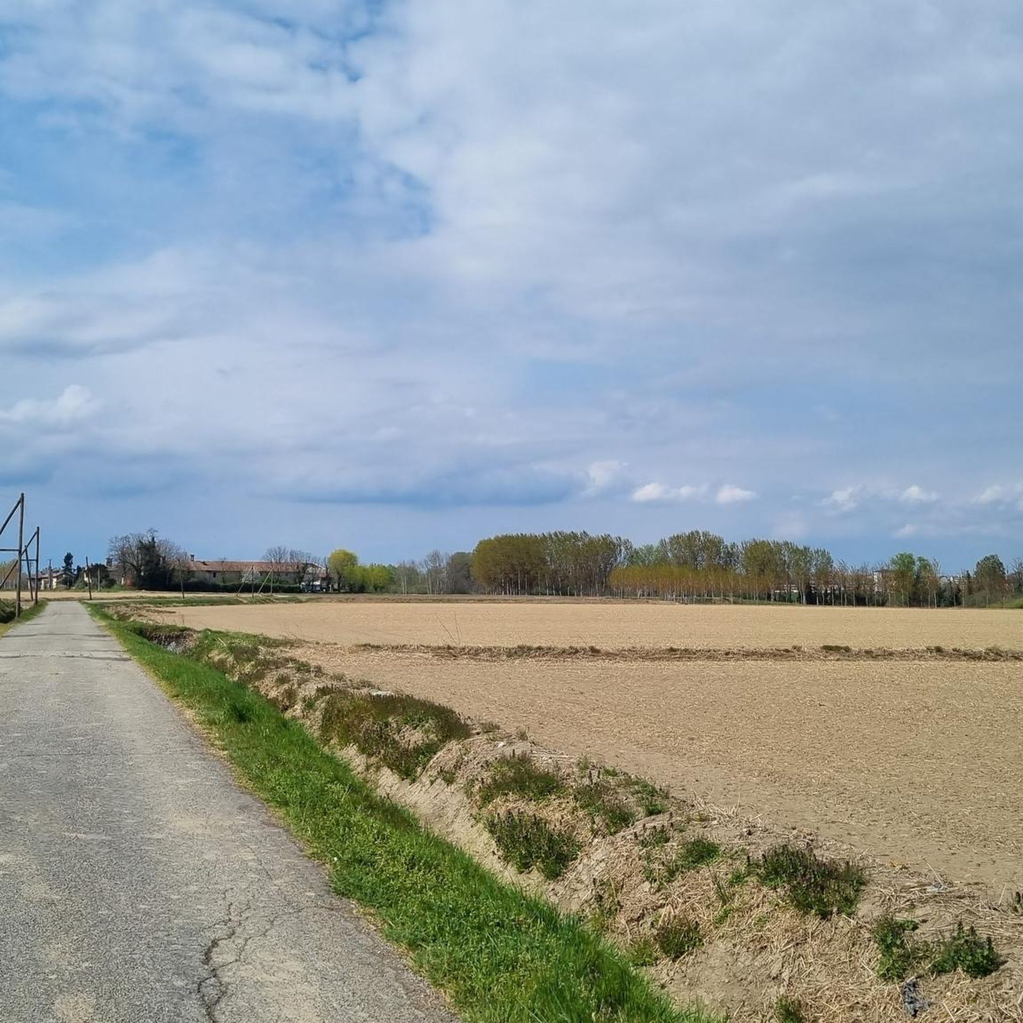
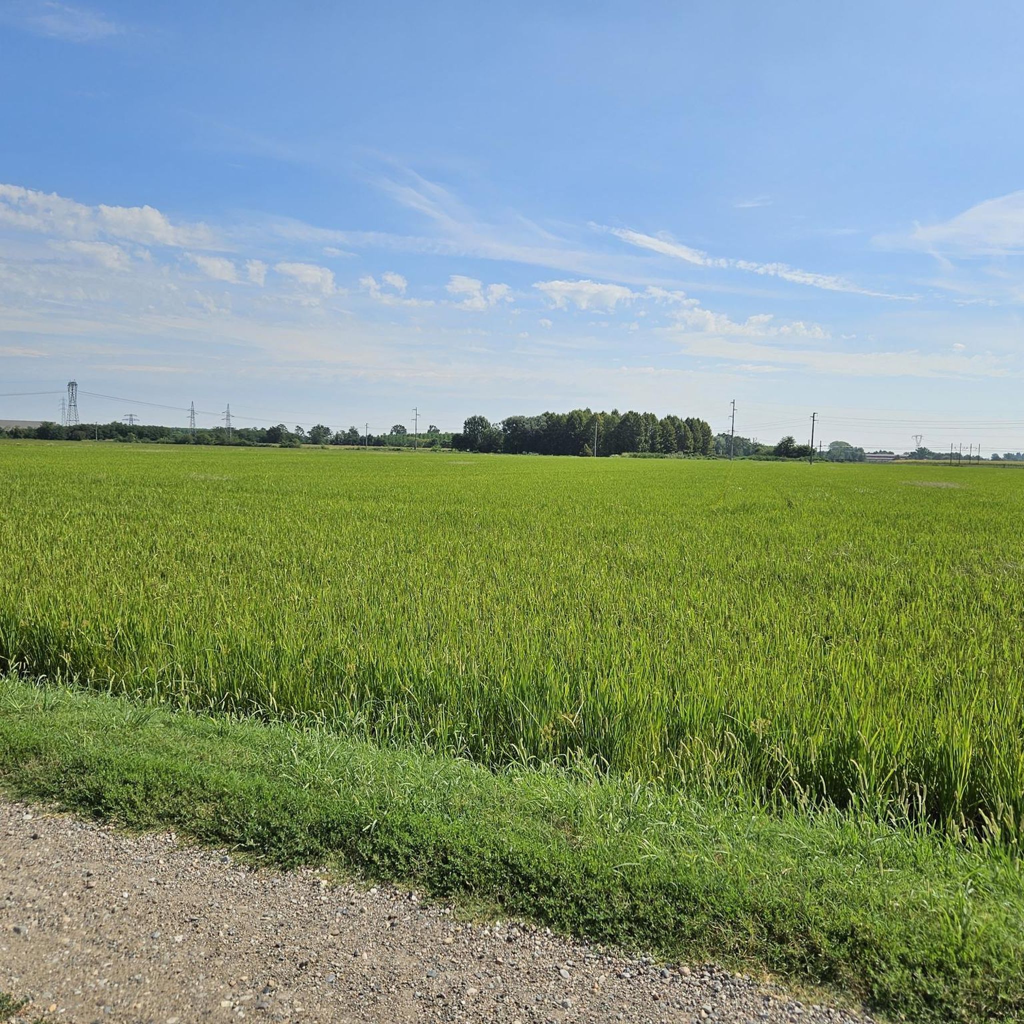
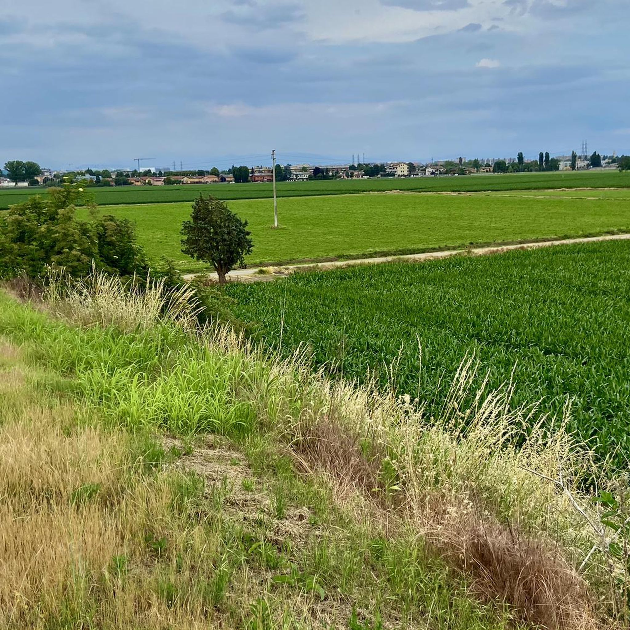
Located in the Lombardy plain, Casarile is a small town in the province of Milan that maintains a quiet and human-scale atmosphere, despite being just a few kilometers from the capital. Surrounded by agricultural expanses and crossed by paths that connect the city to the countryside, the town offers an authentic glimpse of the most relaxed Lombardy. The proximity to the Parco Agricolo Sud Milano allows you to immerse yourself in nature with paths suitable for hiking or cycling. Casarile is a place where simplicity becomes a value, where the bond with the land and Lombard tradition is reflected in daily life and its historical roots. Comune Di Casarile is also the ideal place to recharge your e-Bike and earn DINAclub points. Find out how on https://dinaclub.repower.com/ To discover the territory, an itinerary ready to pedal: https://www.komoot.com/it-it/tour/2107767880?share_token=aVdy3ijgl2xrTHj7fwg01JhEwjYmHHOKKhq7aR9EW4asFF50ZD&ref=wtd
0
0
Frequently Asked Questions
How many touring cycling routes are available around Landriano?
There are over 15 touring cycling routes around Landriano, offering a variety of options for exploring the flat agricultural landscape and waterways of the region.
Are there easy touring cycling routes suitable for beginners or families in Landriano?
Yes, Landriano is ideal for beginners and families, with 13 out of 18 routes classified as easy. An excellent option is the Melegnano Cycle Path – Linate Airport Radar Tower loop from Pairana, which is 12.3 miles (19.7 km) long and leads through open fields.
What kind of historical sites or attractions can I see along the touring cycling routes?
The routes often pass by significant historical and religious sites. You can explore places like the impressive Certosa of Pavia (Charterhouse of Pavia), the serene Chiaravalle Abbey, or the historic Mirasole Abbey. The Certosa of Pavia (Charterhouse of Pavia) – Moirago Lock loop from Landriano is a great route to experience some of these landmarks.
Are there any longer touring cycling routes for more experienced cyclists?
While the terrain is generally flat, some routes offer longer distances. The Certosa of Pavia (Charterhouse of Pavia) – Moirago Lock loop from Landriano is a moderate 33.7 miles (54.3 km) path, and the Campomorto Abbey – Fontanile di Campomorto loop from Landriano covers 30.3 miles (48.7 km), both providing a good challenge for distance.
What is the best time of year for touring cycling in Landriano?
The flat terrain around Landriano makes it suitable for cycling for much of the year. Spring and autumn generally offer the most pleasant temperatures and less crowded paths. Summer can be warm, but the open countryside provides a refreshing breeze.
Are there circular touring cycling routes around Landriano?
Yes, many of the touring cycling routes in Landriano are designed as loops, allowing you to start and end in the same location. For example, the Certosa of Pavia (Charterhouse of Pavia) – Campomorto Abbey loop from Landriano is a popular circular option.
What do other touring cyclists say about the routes in Landriano?
The touring cycling routes in Landriano are highly rated by the komoot community, with an average score of 4.3 stars from over 280 reviews. Cyclists often praise the quiet agricultural paths, the flat and accessible terrain, and the opportunity to discover historical abbeys and waterways.
Can I bring my dog on the touring cycling routes?
While specific regulations for dogs on cycling paths can vary, the open countryside and agricultural roads around Landriano are generally suitable for cycling with well-behaved dogs, especially if they are accustomed to running alongside a bike or riding in a trailer. Always ensure your dog is on a leash where required and respect local signage.
Are there any cafes or refreshment stops along the touring cycling routes?
The routes often connect small towns and villages where you can find local cafes, trattorias, or shops to refuel. While specific cafes aren't listed for every route, planning your stops in the towns along your chosen path is recommended.
What are the typical elevation changes on touring cycling routes near Landriano?
The Landriano region is characterized by its predominantly flat landscape. Most touring cycling routes feature very gentle gradients, with minimal elevation gain and loss, making for a relaxed and accessible cycling experience. For instance, the Linate Airport Radar Tower – Church of Saint Martin the Bishop loop from Landriano has less than 20 meters of elevation change.
Is public transport available to access the touring cycling routes in Landriano?
Landriano is a small town, and while local bus services might connect it to larger hubs, direct public transport options specifically for accessing trailheads with bicycles can be limited. It's advisable to check local bus schedules and policies regarding bicycle transport if you plan to use public transport.
Where can I park my car when starting a touring cycling route in Landriano?
In Landriano and the surrounding villages, you can typically find public parking areas within the town centers or near local amenities. It's recommended to look for designated parking spots in the starting village of your chosen route, ensuring you don't obstruct local traffic or private property.
Most popular routes around Landriano
Most popular attractions around Landriano

Get inspired with the komoot mobile app


Explore more
Browse the best Cycling routes in other regions.
