The best walks and hikes around Scharndorf
4.6
(819)
4,595
hikers
267
hikes
Hiking around Scharndorf features routes primarily within the Donau-Auen National Park, characterized by its riverine landscapes and floodplains along the Danube. The terrain is generally flat with minimal elevation changes, offering accessible paths through natural areas. The region includes forested sections and open riverbanks, providing varied scenery for outdoor activities.
Best hiking trails around Scharndorf
- The most popular hiking route is Bee-eater themed trail Haslau – Donau-Auen National Park, a 1.9 miles (3.0 km) trail that takes about 48…
Last updated: July 1, 2026
4.0
(4)
25
hikers
3.02km
00:48
30m
30m
Moderate hike. Great for any fitness level. Mostly accessible paths. Sure-footedness required.
6
hikers
6.25km
01:36
10m
40m
Easy hike. Great for any fitness level. Easily-accessible paths. Suitable for all skill levels.

Sign up for free
4.8
(52)
193
hikers
12.6km
03:16
70m
70m
Moderate hike. Good fitness required. Easily-accessible paths. Suitable for all skill levels.
4.7
(19)
52
hikers
Easy hike. Great for any fitness level. Easily-accessible paths. Suitable for all skill levels.
4.6
(10)
35
hikers
Moderate hike. Good fitness required. Easily-accessible paths. Suitable for all skill levels.
Get access to more routes and recommendations from other explorers.
Sign up for free
Already have an account?
Our route recommendations are based on thousands of hikes, rides, and runs completed by other people on komoot.
Start today with a free account
Your next adventure awaits.
Login or Signup

Tips from the Community

Wine addicts are welcomed.
0
0

On the towpath, there is the possibility to cycle directly next to the flowing Danube. The ground conditions vary, ranging from sand, gravel, and shingle to the rocky ground of the piled embankment area. Numerous fishing huts exude a special flair. Cycling permanently alongside the Danube is a highlight!
0
0


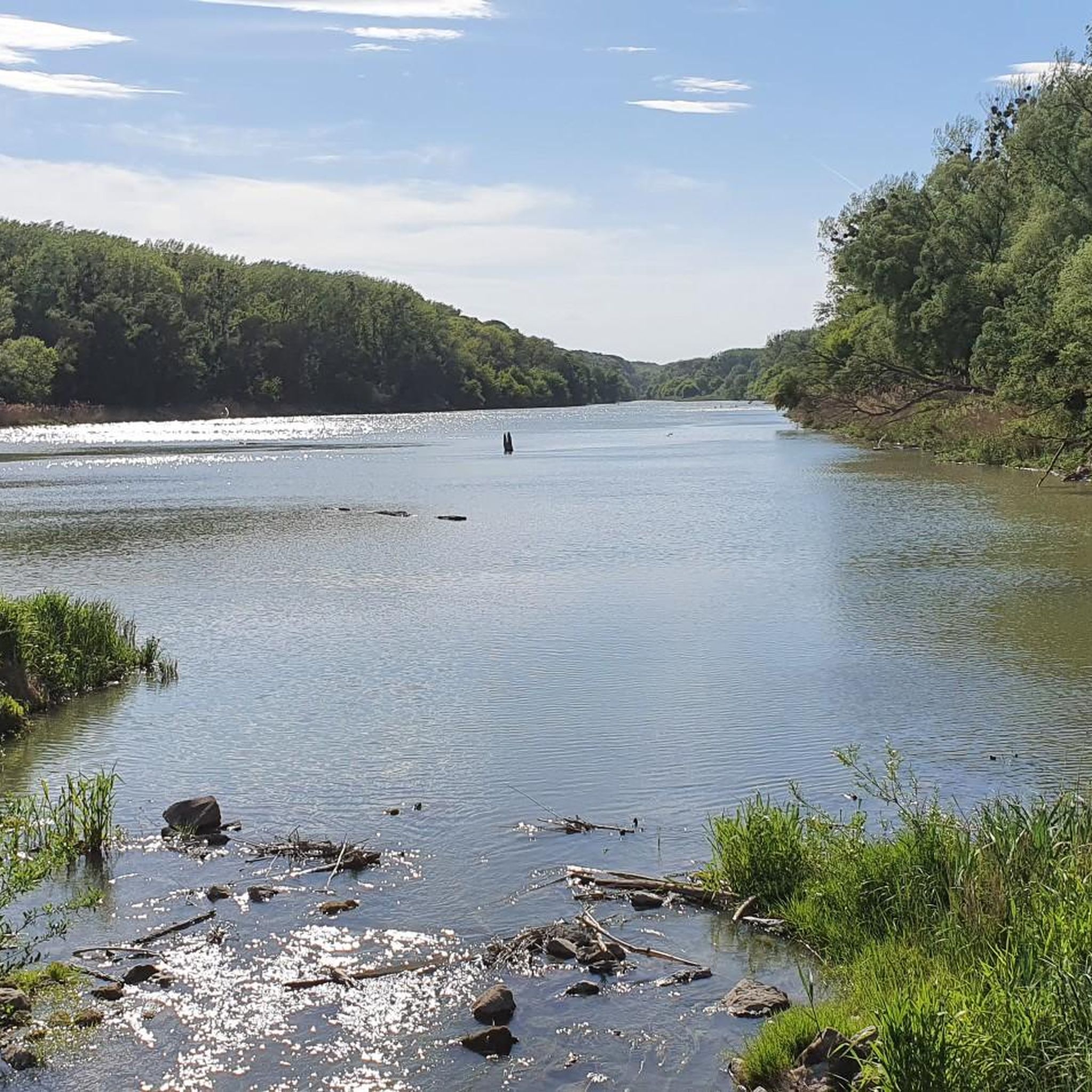
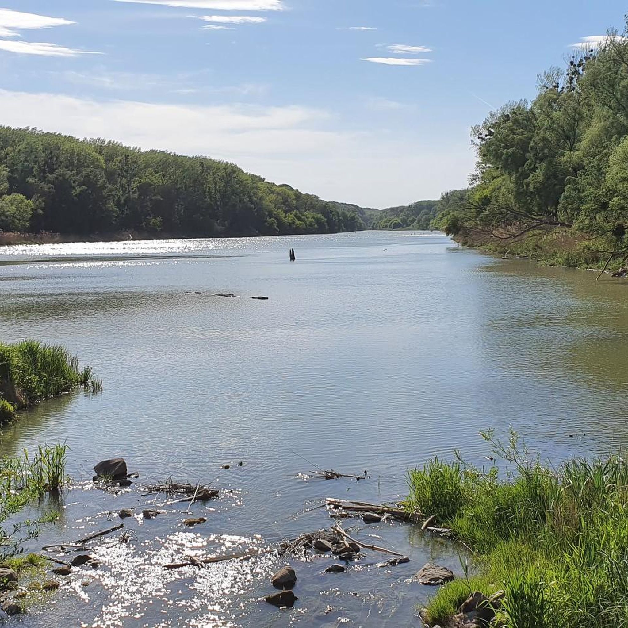
The Haslau Traverse is a section of the trail that winds through the floodplain landscape in the Haslau area. This section of the route allows you to explore the Danube floodplains off the main paths and often passes smaller waterways or unspoiled stretches. The traverse offers an opportunity to enjoy the tranquility of nature and explore the unique environment of this stretch of the Danube.
5
0
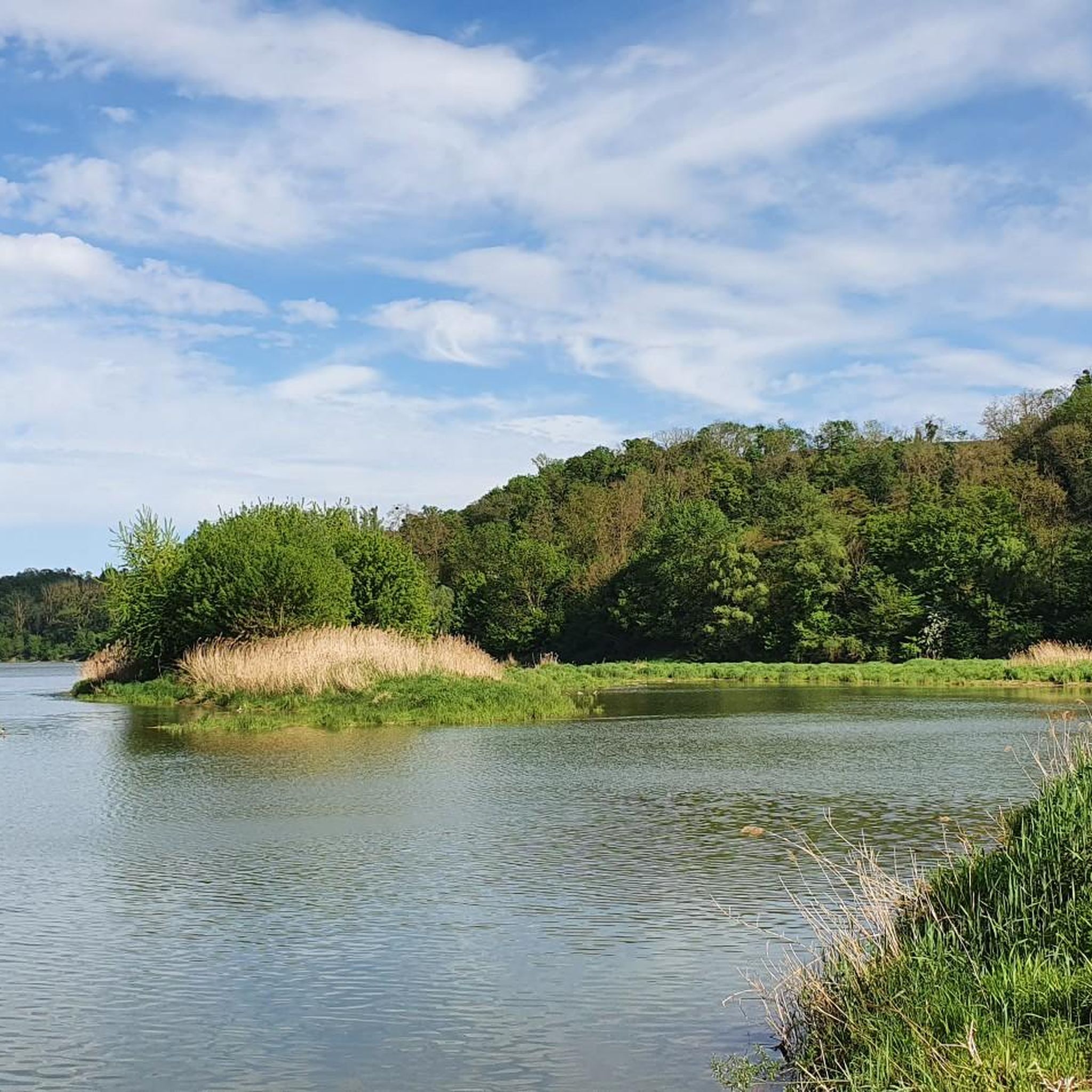
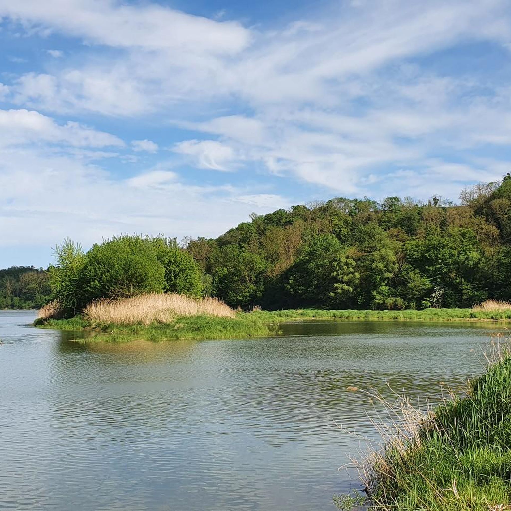
The trail through the Danube floodplain near Haslau offers a typical nature experience in a floodplain landscape. It leads through wooded sections and open areas characterized by the proximity to the Danube. This section of the trail is mostly flat and natural, making it ideal for hikes or walks in a tranquil setting. Users can observe the specific flora and fauna of a floodplain landscape and experience the natural features of the terrain.
4
0

Beautiful view of the Orther Islands from the shore path. The islands themselves are difficult to access due to the dense undergrowth.
0
0

This traverse crosses the beiten Haslau branch and leads to the bank of the Danube. At higher water levels it is quickly overrun, be careful when planning your tour!
1
0
Frequently Asked Questions
How many hiking trails are available around Scharndorf?
There are over 270 hiking routes around Scharndorf, offering a wide range of options for different preferences and fitness levels. The majority of these routes are within the Donau-Auen National Park, providing diverse experiences along the Danube's riverine landscapes.
Are there easy hiking trails suitable for beginners in Scharndorf?
Yes, Scharndorf offers many easy trails perfect for beginners. Over 150 routes are rated as easy. A great option is the Haslau an der Donau to Regelsbrunn – National Park Donau-Auen trail, which is 3.9 miles (6.2 km) and follows the Danube, offering gentle terrain.
What kind of views can I expect on hikes around Scharndorf?
Hikes around Scharndorf primarily offer views of the Danube's riverine landscapes, floodplains, and dense forests within the Donau-Auen National Park. For panoramic views, consider exploring nearby elevated points such as View from Hundsheimer Berg or the Hundsheimer Hütte, which provides a great vantage point over the Danube.
Are there any family-friendly hiking options in the Scharndorf area?
Absolutely. The generally flat terrain and well-maintained paths in the Donau-Auen National Park make many routes suitable for families. The Bee-eater themed trail Haslau – Donau-Auen National Park is a moderate 1.9-mile (3.0 km) route that offers an educational experience, perfect for engaging children with nature.
Can I find circular walks around Scharndorf?
Yes, there are several circular walks available. A popular choice is the By the Danube – Orther Islands loop from Haslau an der Donau, a 7.8-mile (12.6 km) trail that takes you through the scenic riverine islands. Another option is the Trail through the Donauau – Hiking trail to Haslau loop from Haslau an der Donau, an easy 6.0 km loop.
What is the best time of year to go hiking in Scharndorf?
The Donau-Auen National Park is beautiful year-round, but spring and autumn offer particularly pleasant conditions with mild temperatures and vibrant natural colors. Summer can be warm, making early morning or late afternoon hikes ideal. Winter hiking is also possible, with the landscape taking on a serene, frosty beauty, though some paths might be muddy or icy.
Are there any historical landmarks or attractions to see near the hiking trails?
Yes, the region around Scharndorf is rich in history. You can explore several castles, such as Hainburg Castle, Orth Castle on the Danube, or the Heimenburg Castle Ruins. These historical sites often provide interesting detours or starting points for hikes.
What do other hikers enjoy most about hiking in Scharndorf?
The area is highly rated by the komoot community, with an average score of 4.6 stars from over 760 reviews. Reviewers often praise the tranquil riverine landscapes, the well-maintained paths within the Donau-Auen National Park, and the accessibility of routes for various skill levels.
Are the hiking trails around Scharndorf dog-friendly?
Many trails in the Donau-Auen National Park are dog-friendly, allowing you to enjoy the natural beauty with your canine companion. However, it's always recommended to keep dogs on a leash, especially in national park areas, to protect wildlife and ensure a pleasant experience for all visitors. Check specific trail regulations if you plan to visit sensitive ecological zones.
Are there places to eat or get refreshments along the hiking routes?
While the Donau-Auen National Park itself is a natural area, you'll find cafes and restaurants in the nearby towns and villages like Haslau an der Donau or Regelsbrunn, which often serve as starting or ending points for hikes. It's advisable to carry water and snacks, especially on longer routes, as amenities might not be directly on the trails.
What are the typical lengths of hikes in the Scharndorf area?
Hikes around Scharndorf vary significantly in length. You can find short, easy strolls like the 1.9-mile (3.0 km) Bee-eater themed trail, or longer excursions such as the 7.8-mile (12.6 km) By the Danube – Orther Islands loop. The average duration for many popular routes is between 1 to 3 hours, but there are options for both quicker outings and full-day adventures.
Is parking available near the trailheads in Scharndorf?
Yes, parking is generally available near the main trailheads and in the surrounding villages that serve as access points to the Donau-Auen National Park. Specific parking information can often be found on individual route descriptions on komoot, or by checking local signage upon arrival.
Most popular attractions around Scharndorf

Get inspired with the komoot mobile app


Explore more
Browse the best Hikes in other regions.
