The best road cycling routes around Canistro
4.3
(36)
1,023
riders
35
rides
Road cycling routes around Canistro traverse a landscape characterized by significant elevation changes, including mountain passes and hills, offering varied terrain for cyclists. The region features a mix of open views and routes that pass through areas with historical landmarks. Cyclists can expect challenging climbs and rewarding descents across this diverse topography.
Best road cycling routes around Canistro
- The most popular road cycling route is From Pescocanale to Camporotondo, a 26.9 miles (43.3 km) trail that takes 2 hours…
Last updated: July 19, 2026
6
riders
43.3km
02:55
1,030m
1,030m
Hard road ride. Very good fitness required. Some segments of this route may be unpaved and difficult to ride.
4.4
(5)
156
riders
98.3km
04:16
870m
870m
Moderate road ride. Good fitness required. Mostly well-paved surfaces and easy to ride.

Sign up for free
3.9
(17)
125
riders
Moderate road ride. Good fitness required. Mostly well-paved surfaces and easy to ride.
3.0
(1)
39
riders
146km
07:30
2,520m
2,520m
Hard road ride. Very good fitness required. Some segments of this route may be unpaved and difficult to ride.
33
riders
26.0km
01:21
440m
440m
Moderate road ride. Good fitness required. Some segments of this route may be unpaved and difficult to ride.
Get access to more routes and recommendations from other explorers.
Sign up for free
Already have an account?
Our route recommendations are based on thousands of hikes, rides, and runs completed by other people on komoot.
Start today with a free account
Your next adventure awaits.
Login or Signup

Tips from the Community

Small square to the right of the waterfall with a view and refreshments in the adjacent bar
0
0

beware of stray dogs
0
0

It's all enchanting, breathtaking views but.....a tough but worthwhile ride
0
0

beautiful view at the end of a challenging climb
0
0

Isola del Liri, with its waterfalls in the city center, is on the path of San Benedetto
3
0

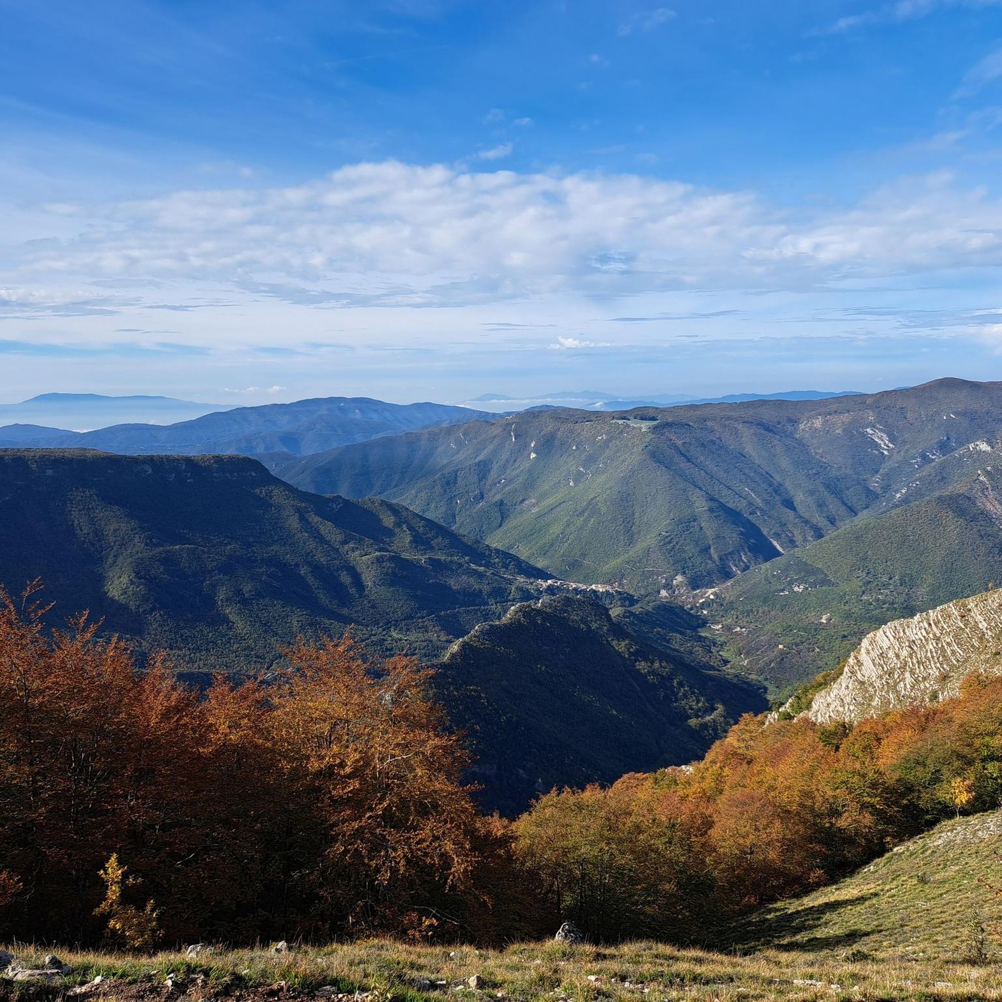
Pass at an altitude of 1,100 meters on the provincial road that leads from Celano to Forme. Here there is a fountain with very fresh water, a picnic table and a panoramic point towards the Fucino plain on one side and the Cafornia and Velino mountains on the other.
0
0

Camporotondo is a small village in the heart of the Simbruini in the province of L'Aquila. The climb to get there is challenging, but the beauty of the surrounding nature repays every effort.
1
0

It is located in Abruzzo in the province of L'Aquila, and connects the Fucino plain, in the Marsica, with the Subequana valley and the Peligna valley.
0
0
Frequently Asked Questions
How many road cycling routes are available around Canistro?
There are 28 road cycling routes around Canistro, offering a variety of experiences for cyclists. These include 14 moderate and 13 difficult routes, with one route specifically categorized as easy.
Are there any easy road cycling routes for beginners in Canistro?
While many routes in Canistro feature significant elevation changes, there is at least one easy road cycling route available. The region generally offers a mix of terrain suitable for different ability levels.
What are some challenging road cycling routes in Canistro?
For a challenging ride, consider the route From Pescocanale to Camporotondo, which is 26.9 miles (43.3 km) with substantial elevation gain. Another demanding option is the Roccacerro, Velino view – Monte Salviano Pass loop from Canistro, a 70.1 miles (112.8 km) trail through mountain passes.
Are there circular road cycling routes in Canistro?
Yes, many routes in Canistro are designed as loops. For example, the View of Castello Piccolomini loop from Capistrello is a moderate 61.1 miles (98.4 km) path offering expansive views. Another circular option is the Monte Salviano Pass – View of Scurcola Marsicana loop from Civitella Roveto.
What kind of scenery and viewpoints can I expect on road cycling routes in Canistro?
Canistro's road cycling routes offer diverse scenery, from open views to mountain passes. You can enjoy expansive vistas on routes like the View of Castello Piccolomini loop from Capistrello, which passes by the historic Castello Piccolomini. Many routes also feature views of prominent peaks like Velino.
What natural attractions or landmarks can I see along the road cycling routes?
The region around Canistro is rich in natural and historical landmarks. Cyclists can encounter mountain passes such as Monte Salviano Pass, Serra Sant'Antonio Pass, and Valico della Serra (1,487 m). You might also discover natural features like Small Waterfall or Campitelle Spring.
When is the best time of year for road cycling in Canistro?
Given Canistro's mountainous terrain and significant elevation changes, the best time for road cycling is typically during the spring, summer, and early autumn months when weather conditions are more stable and mountain passes are clear of snow. Always check local weather forecasts before heading out.
What do other cyclists say about road cycling in Canistro?
The road cycling routes in Canistro are highly rated by the komoot community, with an average score of 4.5 stars from over 20 reviews. Cyclists often praise the challenging mountain passes, scenic loops, and varied terrain that cater to different skill levels.
Are there routes that pass by historical sites or castles?
Yes, some routes offer glimpses of historical landmarks. The View of Castello Piccolomini loop from Capistrello is a notable example, passing by the historic Castello Piccolomini and offering expansive views.
Are there any routes that include the Monte Salviano Pass?
Yes, the Roccacerro, Velino view – Monte Salviano Pass loop from Canistro is a challenging route that leads through the Monte Salviano Pass. Another option is the Fontana di Canistro Superiore – Monte Salviano Pass loop from Pescocanale.
Most popular routes around Canistro
Most popular attractions around Canistro

Get inspired with the komoot mobile app


Explore more
Browse the best Road cycling routes in other regions.
