Top 20 Mountain Passes around Vallarsa
Best mountain passes around Vallarsa offer a blend of natural landscapes and historical significance within the Piccole Dolomiti and Pasubio massif. This region, situated between the provinces of Vicenza and Trento, features diverse terrain from alpine passes to historical routes. The area is characterized by its mountainous environment, with several passes serving as crucial points for recreation and historical exploration. Vallarsa provides access to routes that connect valleys and offer views of the surrounding Prealpi Vicentine.
Best mountain passes around…
Last updated: August 20, 2026
General Achille Papa Refuge
Highlight • Mountain Hut
Translated by Google •
Tip by

The Scarubbi Road
Highlight (Segment) • Trail
La strada degli Scarubbi è una strada carrabile del massiccio del Pasubio, nelle Prealpi vicentine, costruita durante la Prima guerra mondiale. Lunga 10,5 chilometri, parte dal Passo …
Tip by

Sign up now to discover places like this
Get recommendations on the best single tracks, peaks, & plenty of other exciting outdoor places.
Sign up for free
Heroes' Road
Highlight (Segment) • Trail
Translated by Google •
Tip by
On the Scarubbi road
Highlight • Trail
Translated by Google •
Tip by
Strada degli Eroi Trail
Highlight • Trail
Translated by Google •
Tip by

Sign up for free to discover even more mountain passes around Vallarsa.
Sign up for free
Already have an account?
Start today with a free account
Your next adventure awaits.
Login or Signup
Popular around Vallarsa

The Path of Peace – journey into Trentino's history
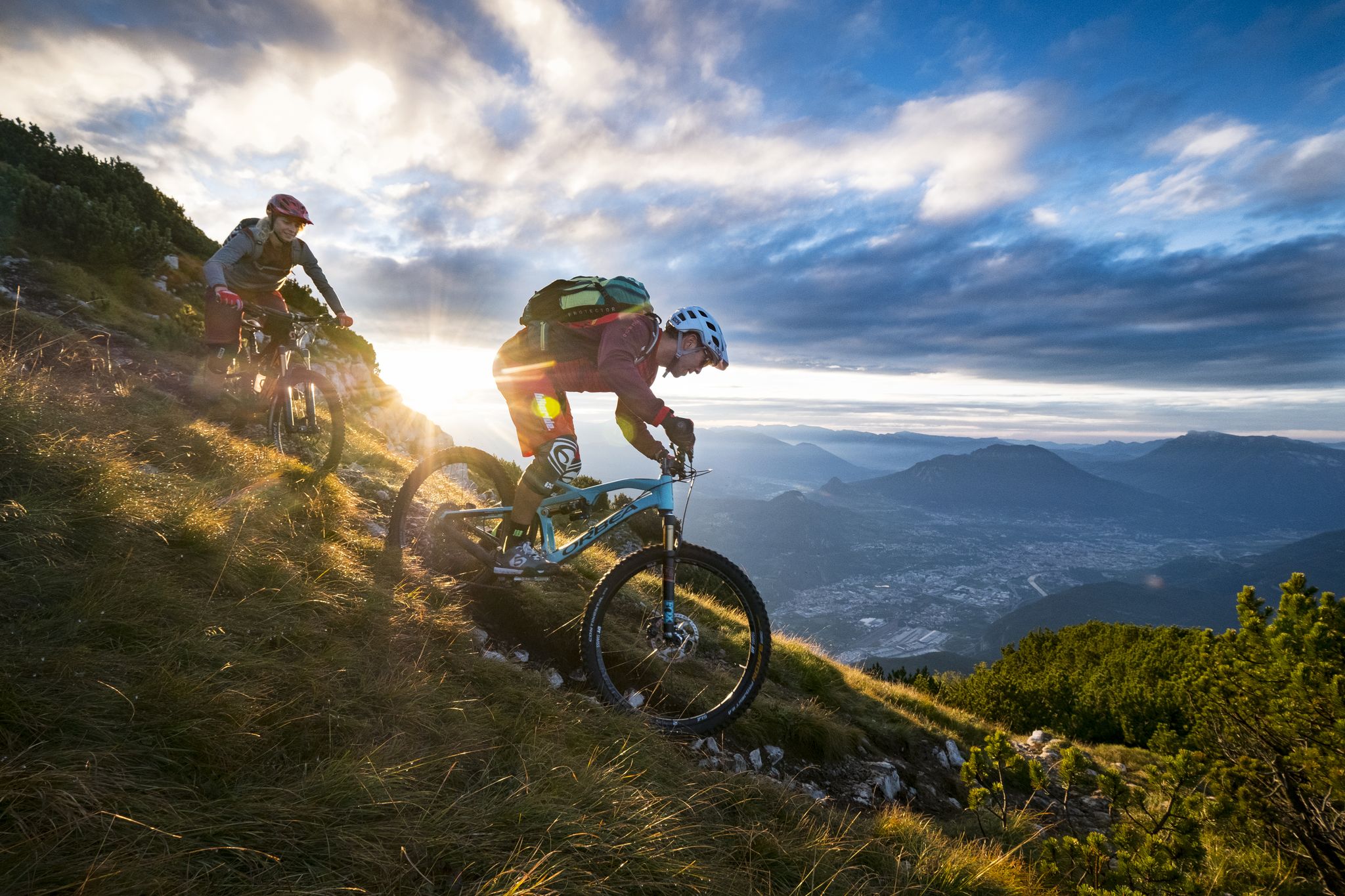
Mountain Biking in Trentino — from the Dolomites to Lake Garda
Hiking around Vallarsa
Road Cycling Routes around Vallarsa
Running Trails around Vallarsa
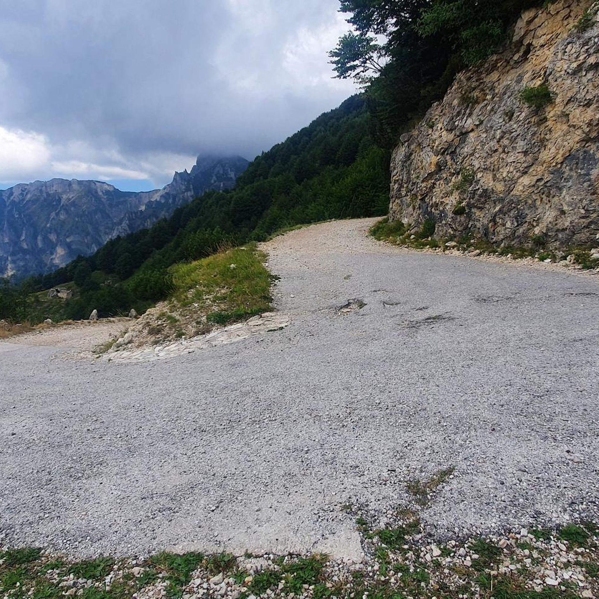
Cycling around Vallarsa
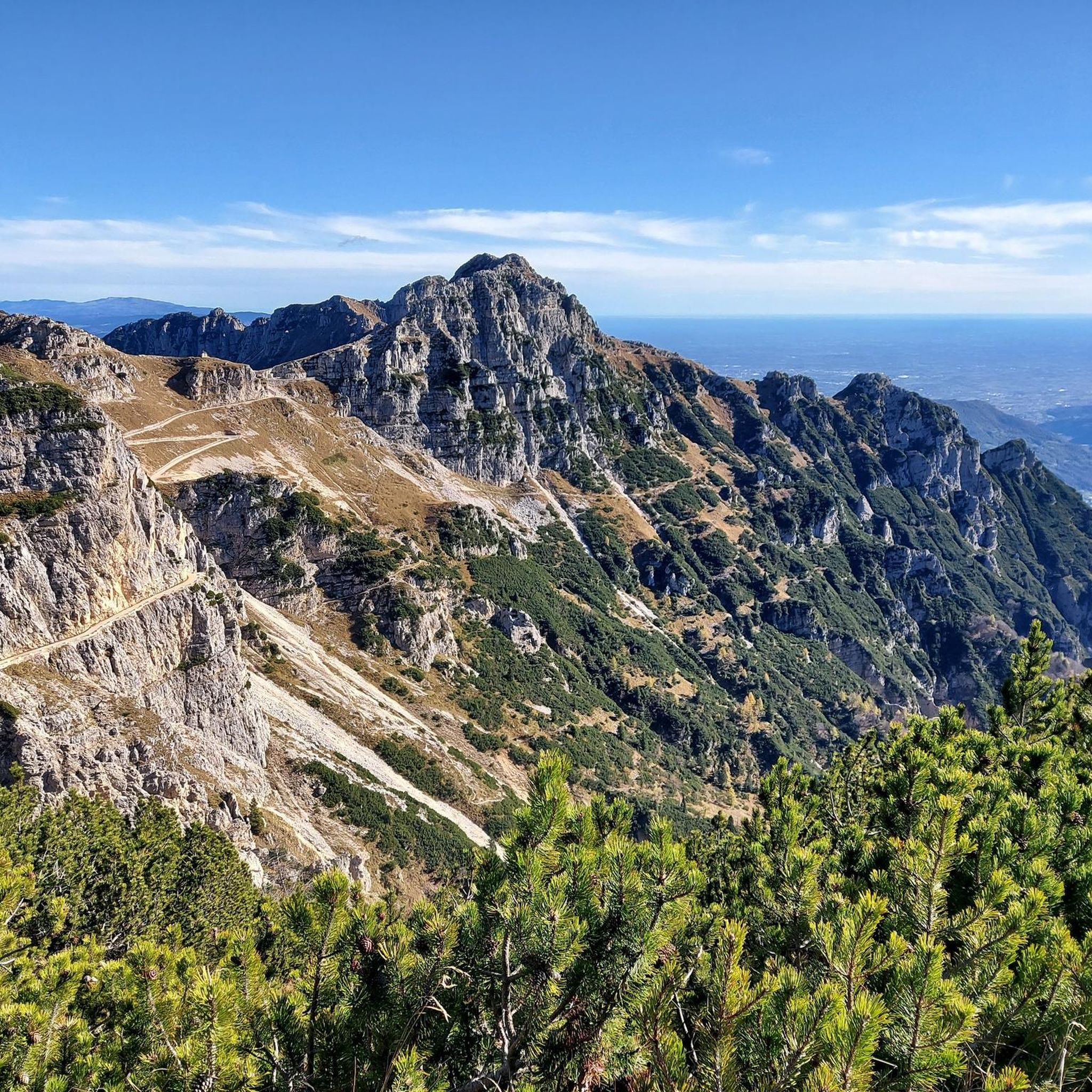
MTB Trails around Vallarsa
Gravel biking around Vallarsa
Mountain Hikes around Vallarsa

Tips from the Community

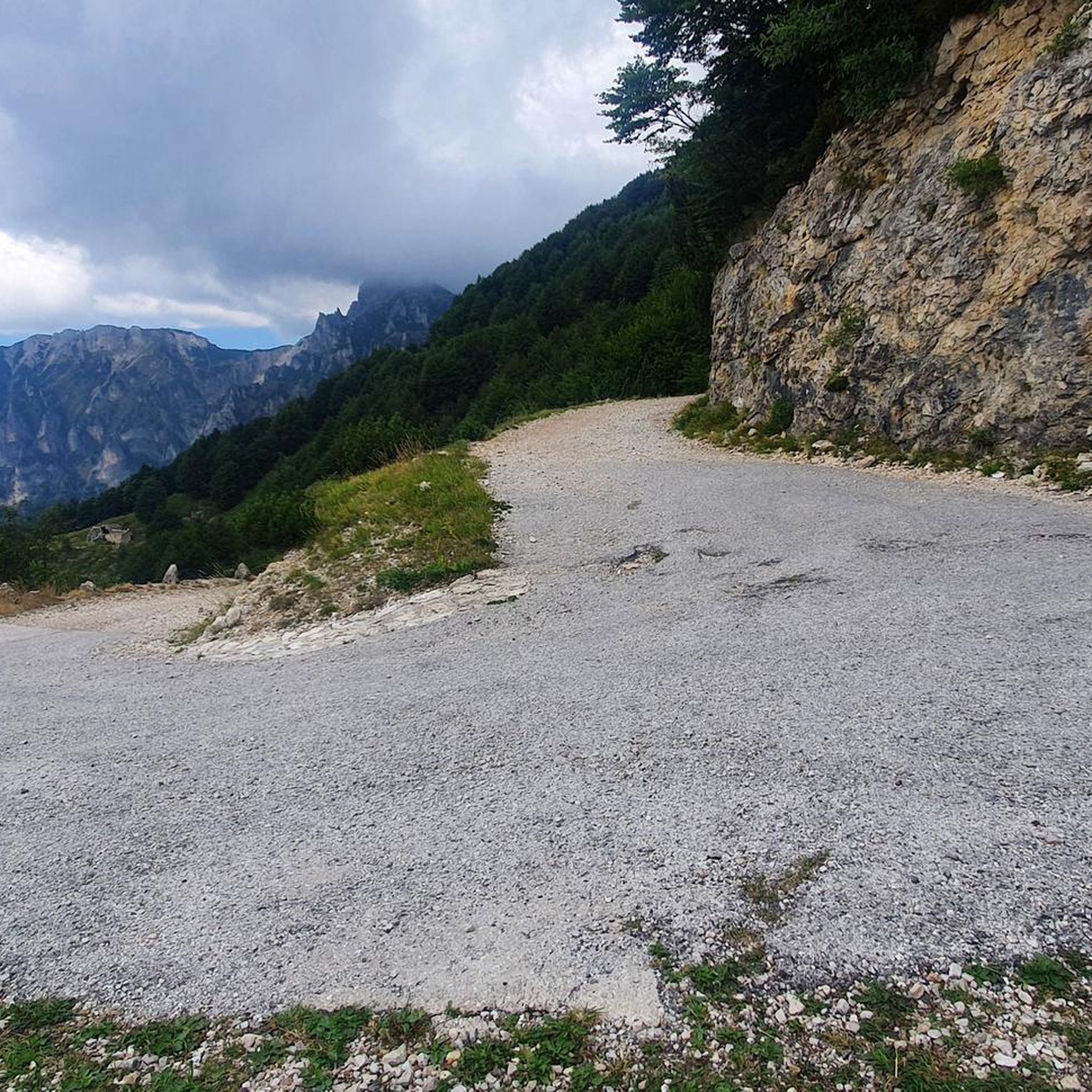
The Scarubbi trail that takes you from the Papa Refuge back to the starting point of the 52 Tunnels
3
0

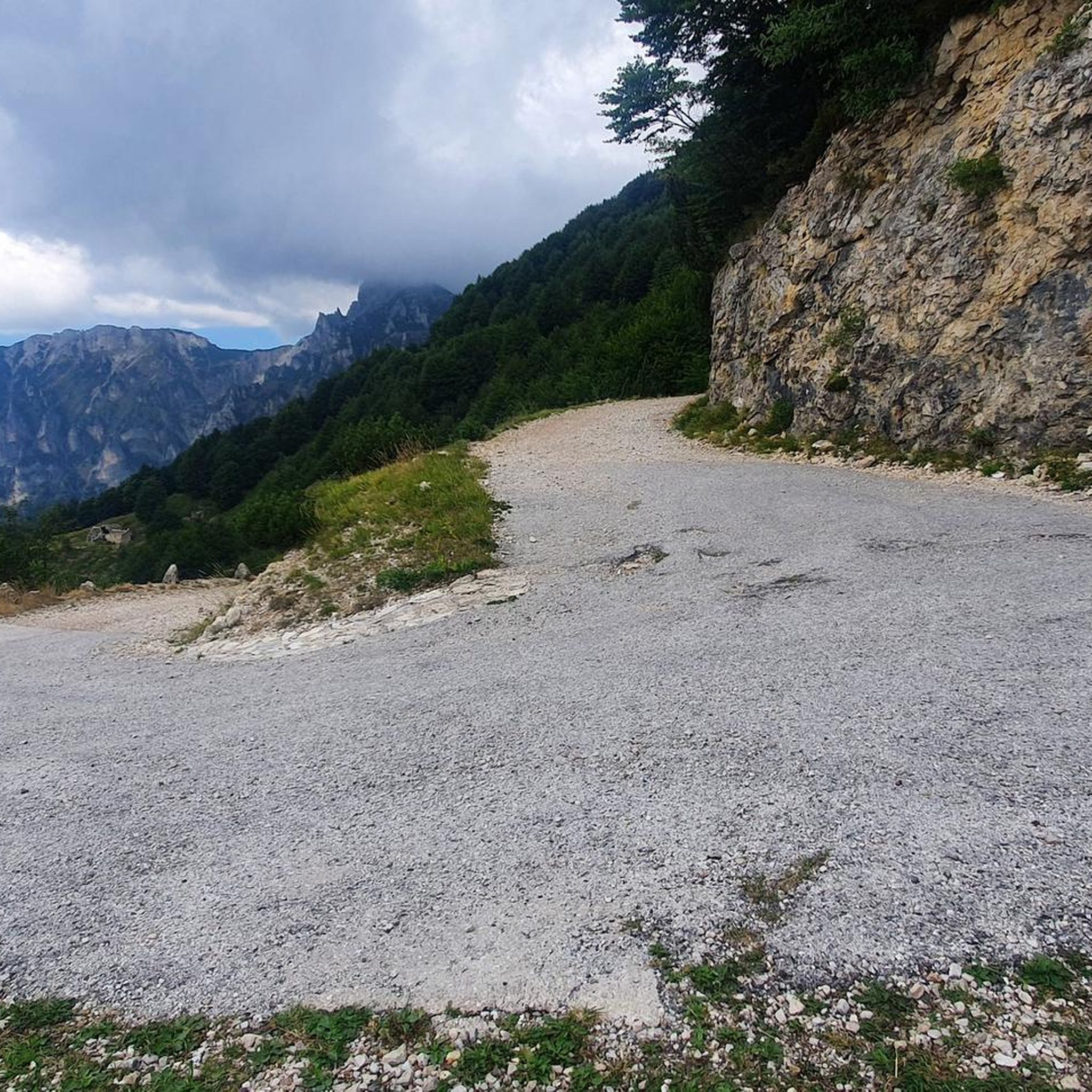
Road to the Rifugio Achille Papa. This is where you walk down if you're doing a circular hike with the 52 tunnels.
6
1
Road to the Rifugio Achille Papa. This is where you walk down if you're doing a circular hike with the 52 tunnels.
6
0
The first plans for the construction of a refuge on Pasubio date back to 1907. However, they were not realized until after the First World War, when the Schio section of the CAI began to build a refuge in memory of the soldiers who had fallen on Pasubio. Source: https://de.m.wikipedia.org/wiki/Rifugio_Achille_Papa
7
0
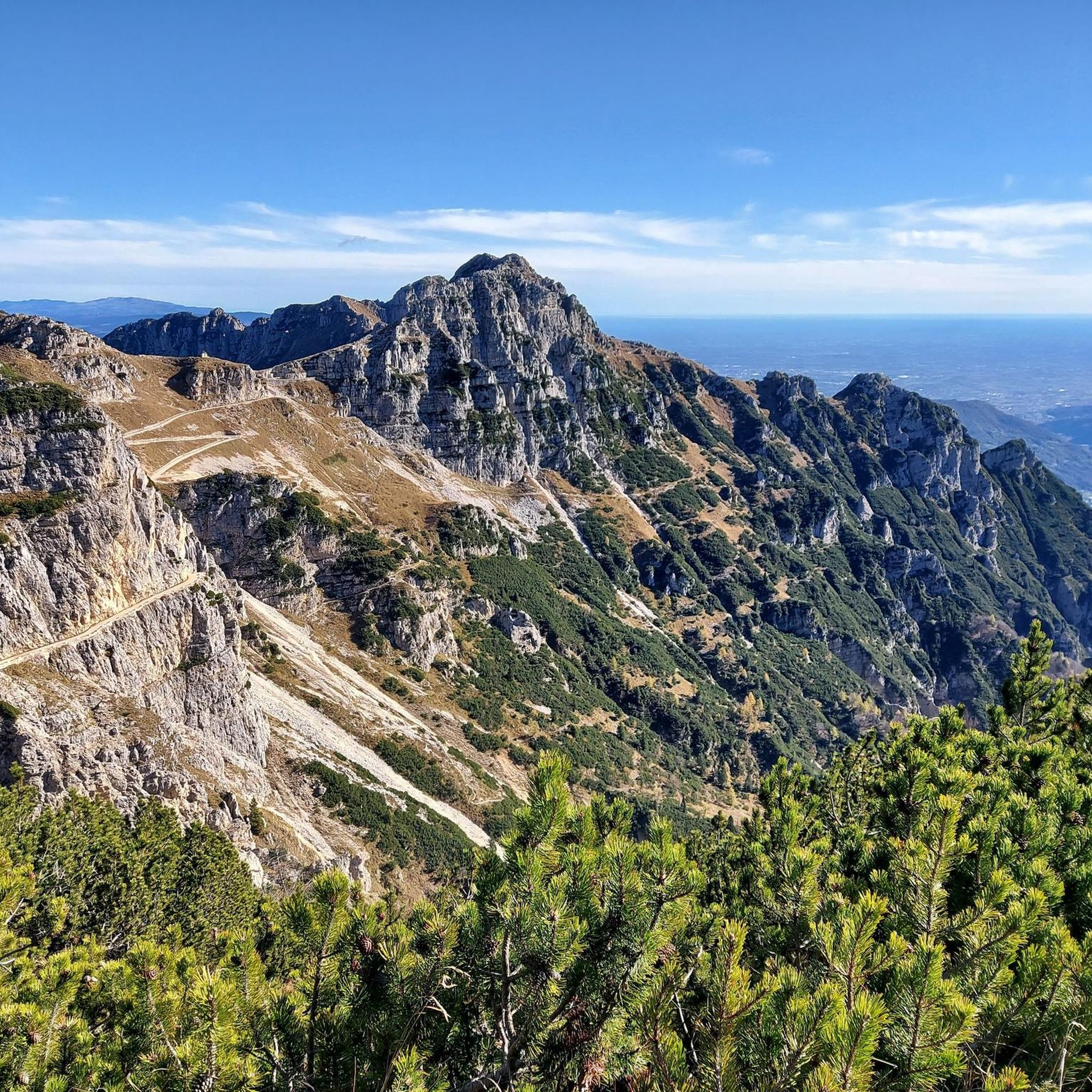
Simple route in terms of terrain type, with a spectacular view.
2
0


Named after General Achille Papa, Gold Medal for military valor who died during the First World War in 1917, the refuge is located at the saddle of the Porte del Pasubio, at 1,928 meters above sea level, on the massif of the same name. Today the Papa refuge is owned by the CAI of Schio and boasts around sixty beds.
2
1
A stretch of road on the Pasubio massif, in the Vicenza Pre-Alps, the Strada degli Eroi was built following the First World War to provide the summit area of the mountain with a safe access route. The actual Road of Heroes is the approximately two kilometer long stretch that connects the Giuseppe d'Havet Gallery to the Achille Papa refuge: this stretch is in a certain sense the appetizer.
1
0
Frequently Asked Questions
What are the best mountain passes around Vallarsa for historical exploration?
The region is rich in history, particularly from World War I. Pian delle Fugazze is a significant historical site, having been a hotly contested area and former border between Italy and the Austro-Hungarian Empire. You can find remnants of the old border and visit the nearby Ossario del Pasubio. Another notable historical route is The Scarubbi Road, built during WWI to access the summit of Pasubio, now popular for hikers and mountain bikers.
Are there family-friendly mountain passes or activities in Vallarsa?
Yes, several passes offer family-friendly options. Pian delle Fugazze has flat grassy areas and picnic tables, suitable for families. The ascent to Passo della Lora (also known as Passo delle Tre Croci) from Rifugio Cesare Battisti is considered relatively easy and popular even for families. Additionally, the General Achille Papa Refuge is listed as family-friendly and offers facilities.
What kind of outdoor activities can I do near the mountain passes in Vallarsa?
The mountain passes around Vallarsa are excellent starting points for various outdoor activities. You can find numerous routes for hiking, mountain biking, and cycling. For hiking, explore options like the 'Pasubio Ring: Road of Heroes' or 'Pian delle Fugazze to Rifugio Campogrosso'. Mountain biking enthusiasts can tackle routes such as 'Strada degli Eroi – Generale D'Havet Tunnel loop'. You can find more details on these and other routes in the hiking guide, mountain hikes guide, and MTB trails guide for Vallarsa.
Which mountain passes offer the best views in Vallarsa?
Many passes in Vallarsa boast impressive panoramic views. General Achille Papa Refuge, located at 1928 meters, offers breathtaking vistas. Passo della Lora provides beautiful views of the surrounding mountainous landscape, marking the ideal boundary between the Tre Croci mountain range and the Carega group. Pian delle Fugazze also offers scenic views, especially along the winding road through Vallarsa.
Are there any mountain passes in Vallarsa that are only accessible on foot?
Yes, Passo della Lora, also known as Passo delle Tre Croci, is unique among mountain passes in the Piccole Dolomiti as it is only passable on foot. It's a significant hub for tourist and alpinist excursions, with a relatively easy path (Sentiero 110) from the nearby Rifugio Cesare Battisti.
Where can I find parking and amenities near the mountain passes?
At Pian delle Fugazze, there is ample parking, along with a trattoria offering refreshment and accommodation. Xomo Pass is another good spot with parking and places to eat, known for its Sopressa sandwiches. The General Achille Papa Refuge also provides facilities and accommodation.
What is the best time of year to visit the mountain passes in Vallarsa?
The best time to visit the mountain passes for hiking and cycling is generally from late spring through early autumn (May to October), when the weather is milder and trails are clear of snow. During these months, you can fully enjoy the natural beauty and outdoor activities. Some routes, like The Scarubbi Road, may be less accessible in winter due to snow and ice.
Are there any challenging routes for experienced hikers or cyclists?
Absolutely. For cyclists, the Vicenza side of Pian delle Fugazze presents a challenging climb. The 'Strada degli Eroi' from Pian delle Fugazze, though closed to motor vehicles, is a favorite route for mountain bikers. Hikers can find challenging options like the 'Pasubio Ring: Road of Heroes' or 'Achille Papa Hut loop' in the mountain hikes guide.
What natural features can I expect to see around Vallarsa's mountain passes?
The region offers diverse natural beauty. Around Pian delle Fugazze, you'll find impressive landscapes, vast pastures, and the San Marco Botanical Garden showcasing typical plant species of the Small Dolomites and Venetian Prealps. Passo della Lora provides views of the Tre Croci mountain range and the Carega group, with varied terrain including scree areas. The entire Vallarsa valley is characterized by its mountainous environment within the Piccole Dolomiti and Pasubio massif.
What do visitors enjoy most about the mountain passes around Vallarsa?
Visitors frequently praise the blend of natural beauty and historical significance. The winding roads and panoramic views are highly appreciated, as is the opportunity to explore WWI historical sites. The tranquility and low traffic on passes like Monte Velo – Santa Barbara Pass are also highlights for many. The availability of amenities like trattorias and refuges, such as General Achille Papa Refuge, enhances the experience.
Are there any specific trails or roads with historical significance near the passes?
Yes, the 'Strada degli Eroi' (Road of Heroes) branches off from Pian delle Fugazze towards the Porte del Pasúbio and Rifugio Achille Papa, offering a historical route for hikers and mountain bikers. Additionally, The Scarubbi Road was built during World War I to access the summit of Pasubio and is now a popular route known for its historical context.
Most popular routes around Vallarsa
Most popular attractions around Vallarsa

Get inspired with the komoot mobile app


Explore more
See even more epic mountain passes by checking out these guides around Vallarsa:
