The best walks and hikes around Caposele
4.2
(170)
527
hikers
36
hikes
Hiking around Caposele offers diverse terrain within the Parco Regionale dei Monti Picentini. The region is characterized by mountainous landscapes, dense forests, and river valleys. Water features, including waterfalls, are present along some trails. The elevation changes vary, providing options from gentle paths to more challenging ascents.
Best hiking trails around Caposele
- The most popular hiking route is Rifugio Canadese – loop tour in the Parco Regionale dei Monti Picentini, a 5.7 miles (9 km) difficult trail that takes…
Last updated: August 18, 2026
4.2
(13)
37
hikers
10.6km
03:23
440m
440m
Hike the moderate 6.6-mile Madonna del Fiume Trail in Parco Regionale dei Monti Picentini to see waterfalls and a historic rock church.
4.0
(4)
11
hikers
4.51km
01:21
140m
140m
Hike the easy 2.8-mile Tuorno Waterfall Trail in Parco Regionale dei Monti Picentini to see the multi-tiered Bard'natore waterfall.

Sign up for free
5.0
(1)
5
hikers
10.4km
04:26
930m
930m
Hard hike. Very good fitness required. Easily-accessible paths. Suitable for all skill levels.
2.85km
00:48
70m
20m
Hike the easy 1.8-mile Lago di Conza trail, a wildlife sanctuary with panoramic lake views and diverse bird species in Parco Archeologico di
4.5
(10)
35
hikers
4.51km
01:26
180m
180m
Easy hike. Great for any fitness level. Easily-accessible paths. Suitable for all skill levels.
Get access to more routes and recommendations from other explorers.
Sign up for free
Already have an account?
Our route recommendations are based on thousands of hikes, rides, and runs completed by other people on komoot.
Start today with a free account
Your next adventure awaits.
Login or Signup
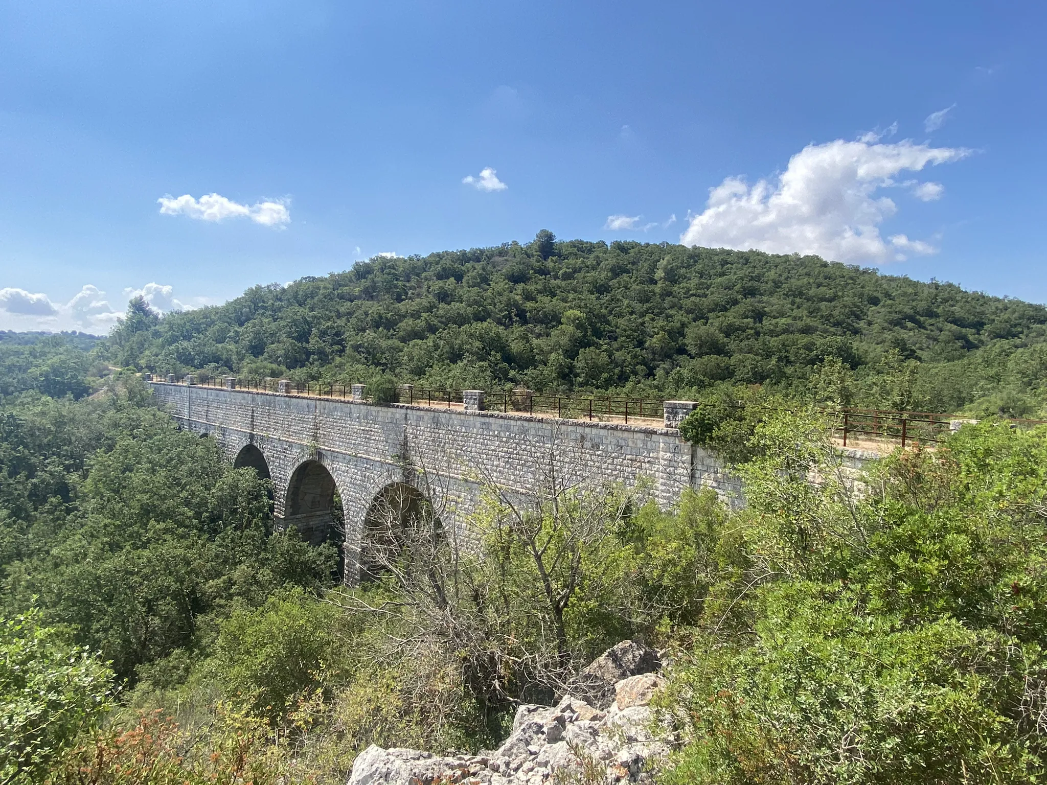
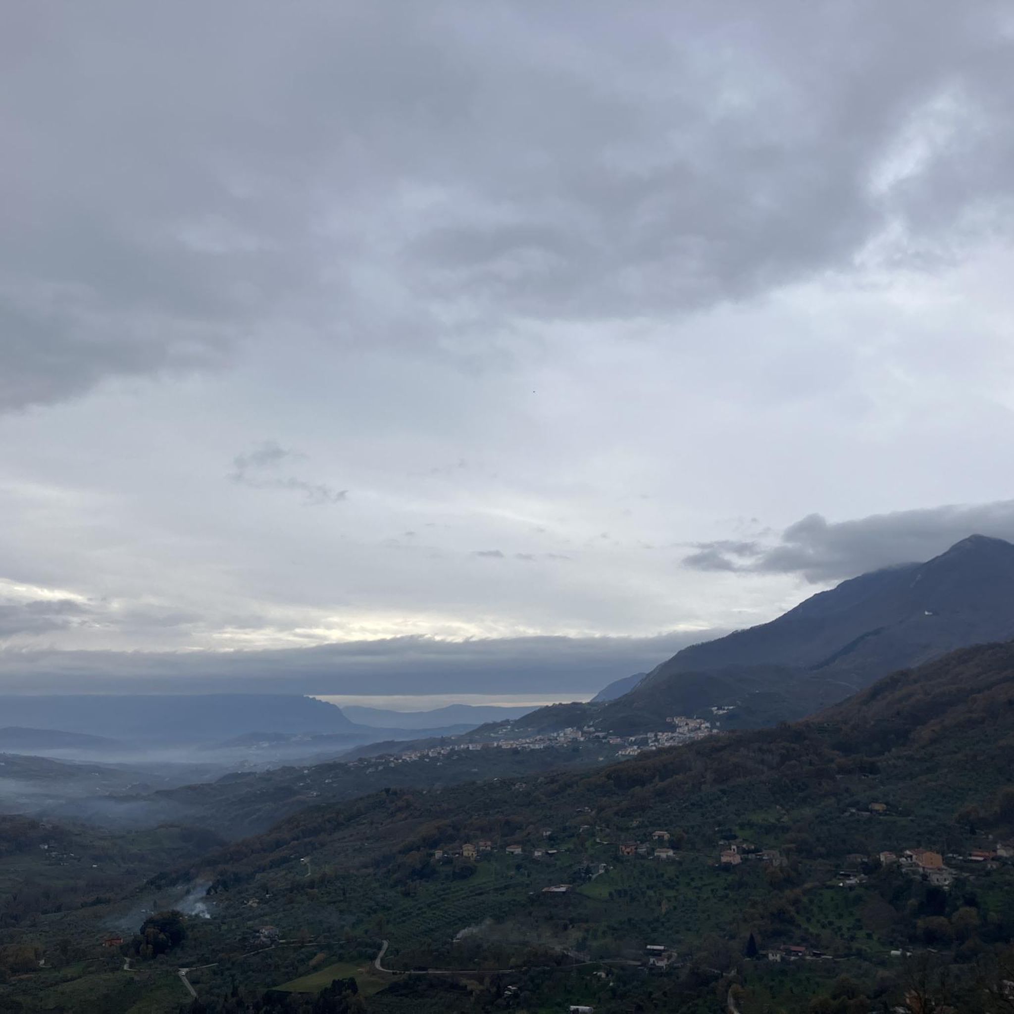
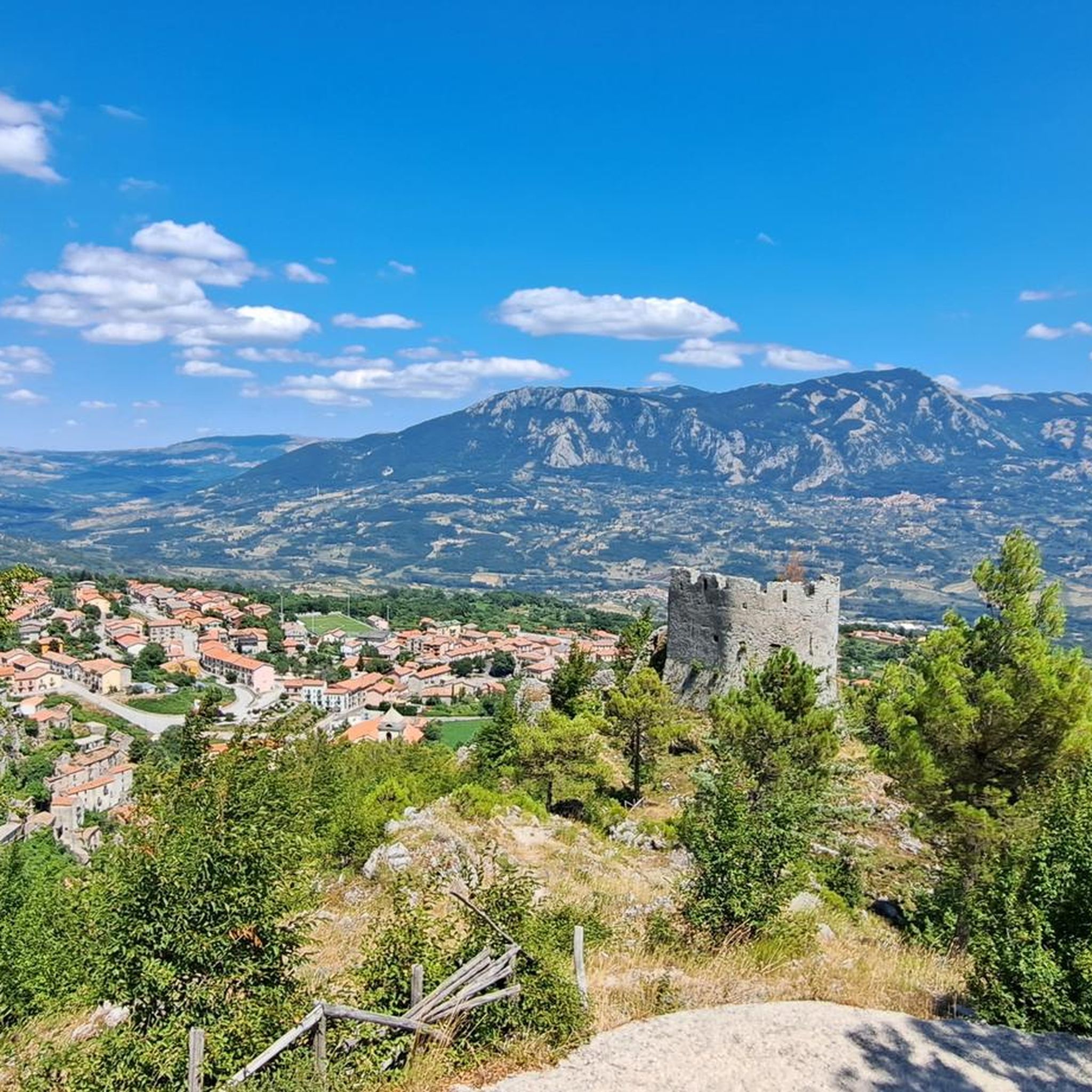
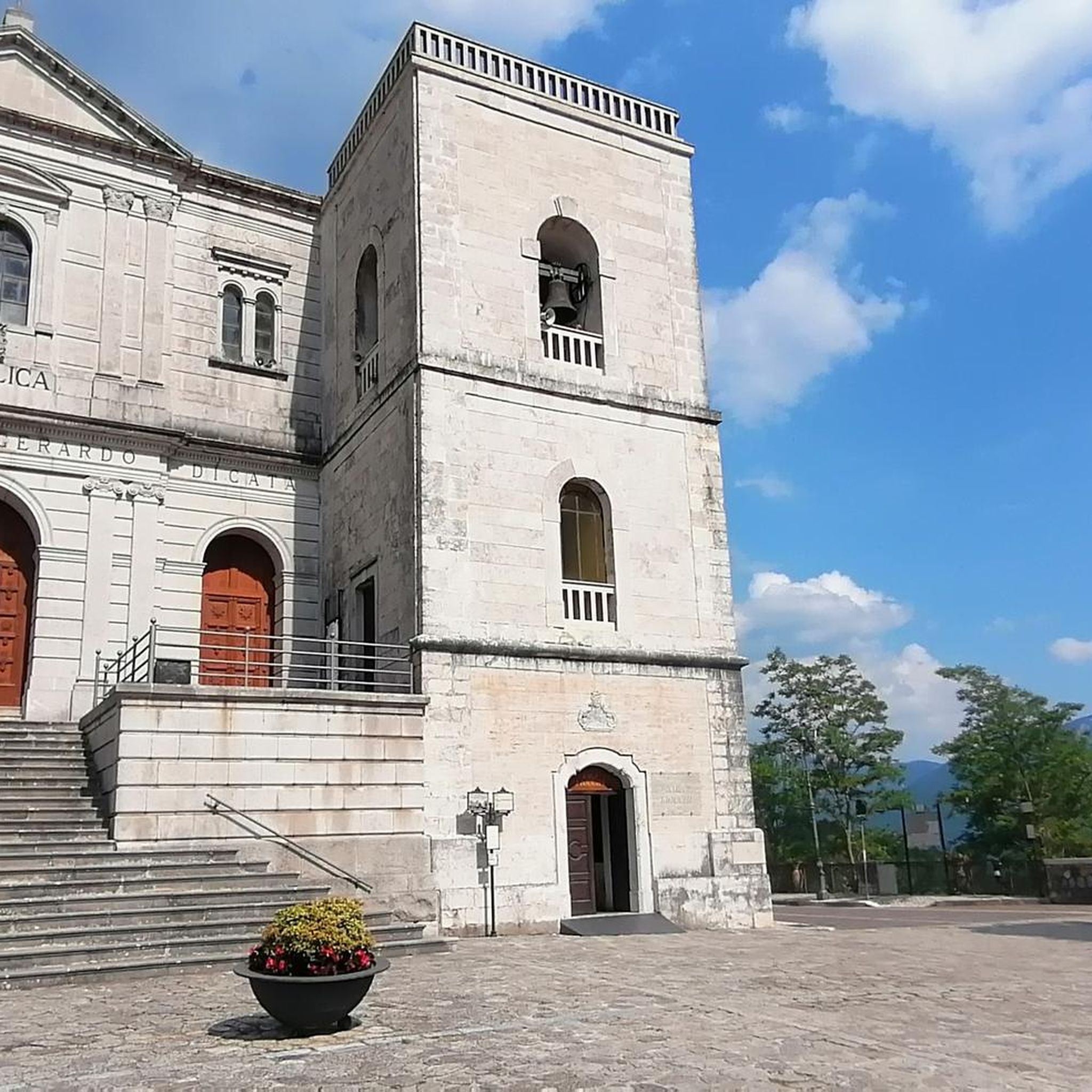

Other adventures around Caposele

Tips from the Community

Some information: infoirpinia.it/santuario-della-madonna-del-fiume-calabritto-percorso-trekking
3
0

start
0
1


Hi, is it possible to bike the path that leads to the waterfall in the monastery? Also doing some portage
0
0

Lake Conza is of artificial origin, it was created in the 70s and the waters of the Ofanto river flow into it.
1
0
The Cascata del Tuorno, 18 meters high and characterized by a leap of water divided into four jumps, three of which are clearly visible and one more hidden, immersed in a rich undergrowth with an abundance of mushrooms and an extraordinary fauna for inhabited areas. Non-slip trekking shoes are recommended. https://sistemairpinia.provincia.avellino.it/it/places/calabritto-waterfalls
4
1
Trekking clothing and footwear are required as well as sufficient experience.
4
0
The municipality of Calabritto is dominated by Monte Altillo (1563 meters) which dominates the Sele Valley. To reach the top you have to cross beautiful chestnut and beech woods with moderate slopes. The climb starts from the sanctuary of the Madonna della Neve located a little less than a thousand meters above sea level. where you can park your cars. In the distance you can see the Lattari mountains of the Amalfi coast with the unmistakable silhouette of Sant'Angelo ai Tre Pizzi. The journey can be difficult and tiring for novice hikers, so the presence of expert hikers is strongly recommended. https://www.walking-trekking.it/monte-Altillo.htm#:~:text=The%20town%20of%20Calabritto%20%C3%A8,of%20beech%20with%20discrete%20slopes.
4
0
Frequently Asked Questions
How many hiking trails are available around Caposele?
Caposele offers nearly 30 hiking trails, catering to various skill levels. You'll find options ranging from easy strolls to challenging mountain ascents within the Parco Regionale dei Monti Picentini.
Are there any easy or family-friendly hikes in Caposele?
Yes, Caposele has several easy trails suitable for families. One popular option is the Tuorno Waterfall Trail, which is about 4.5 km long and leads through forested areas to a beautiful waterfall, typically taking around 1 hour 20 minutes to complete.
Where can I find waterfalls or wild swimming spots near Caposele?
Caposele is known for its water features. You can visit the Acquabianca Waterfall or The Bard'natore Waterfall. The Tuorno Waterfall Trail also leads to a scenic waterfall. For wild swimming, the Cantariello Spring (Tannera Stream) offers a refreshing spot.
Are there any circular walks available in the Caposele area?
Yes, the Caposele area features several circular walks. A challenging but rewarding option is the From Villaggio Laceno to Monte Cervialto – loop in the Parco dei Monti Piacentini, which covers about 16 km.
What kind of landmarks or attractions can I explore while hiking around Caposele?
Beyond the natural beauty, you can discover historical and natural landmarks. Highlights include the rock church of Madonna del Fiume, the serene Laceno Lake, and the ruins of Senerchia Castle. The Fortified Village of Quaglietta also offers a glimpse into the region's past.
What do other hikers say about the trails in Caposele?
The hiking trails around Caposele are highly regarded by the komoot community, with an average rating of 4.4 stars from over 130 reviews. Hikers often praise the diverse mountainous terrain, dense woodlands, and the presence of beautiful river paths and waterfalls.
What is the best time of year for hiking in Caposele?
The best time for hiking in Caposele is generally from spring to autumn (April to October), when the weather is mild and the trails are most accessible. Summer offers lush greenery, while autumn provides vibrant foliage. Some higher elevation trails might be challenging in winter due to snow.
Are there any challenging hikes for experienced hikers?
Yes, Caposele offers several difficult routes for experienced hikers. The Monte Altillo – Parco Regionale dei Monti Picentini trail is a demanding option, covering over 10 km with significant elevation gain, offering panoramic views.
Is parking available near the hiking trailheads in Caposele?
Parking availability varies by trailhead. For popular routes, designated parking areas are usually present. It's advisable to check specific route details on komoot or local signage upon arrival, especially for trails within the Parco Regionale dei Monti Picentini.
Can I bring my dog on the hiking trails in Caposele?
Many trails in the Caposele region, particularly those within the Parco Regionale dei Monti Picentini, are dog-friendly. However, it's always recommended to keep dogs on a leash, especially in protected areas or near wildlife, and to check specific trail regulations beforehand.
What should I wear for hiking in Caposele?
Given the varied terrain, including mountainous landscapes and river valleys, it's best to wear sturdy hiking boots with good ankle support. Layered clothing is advisable to adapt to changing weather conditions, and a waterproof jacket is recommended, especially during spring and autumn.
Are there any cafes or places to eat near the hiking trails?
While the trails themselves are often in natural, undeveloped areas, you can find cafes and restaurants in Caposele town and surrounding villages. It's a good idea to pack snacks and water for your hike and plan to visit local establishments before or after your adventure.
Most popular attractions around Caposele

Get inspired with the komoot mobile app


Explore more
Browse the best Hikes in other regions.
