The best running trails around Pietraroja
11
runners
9
runs
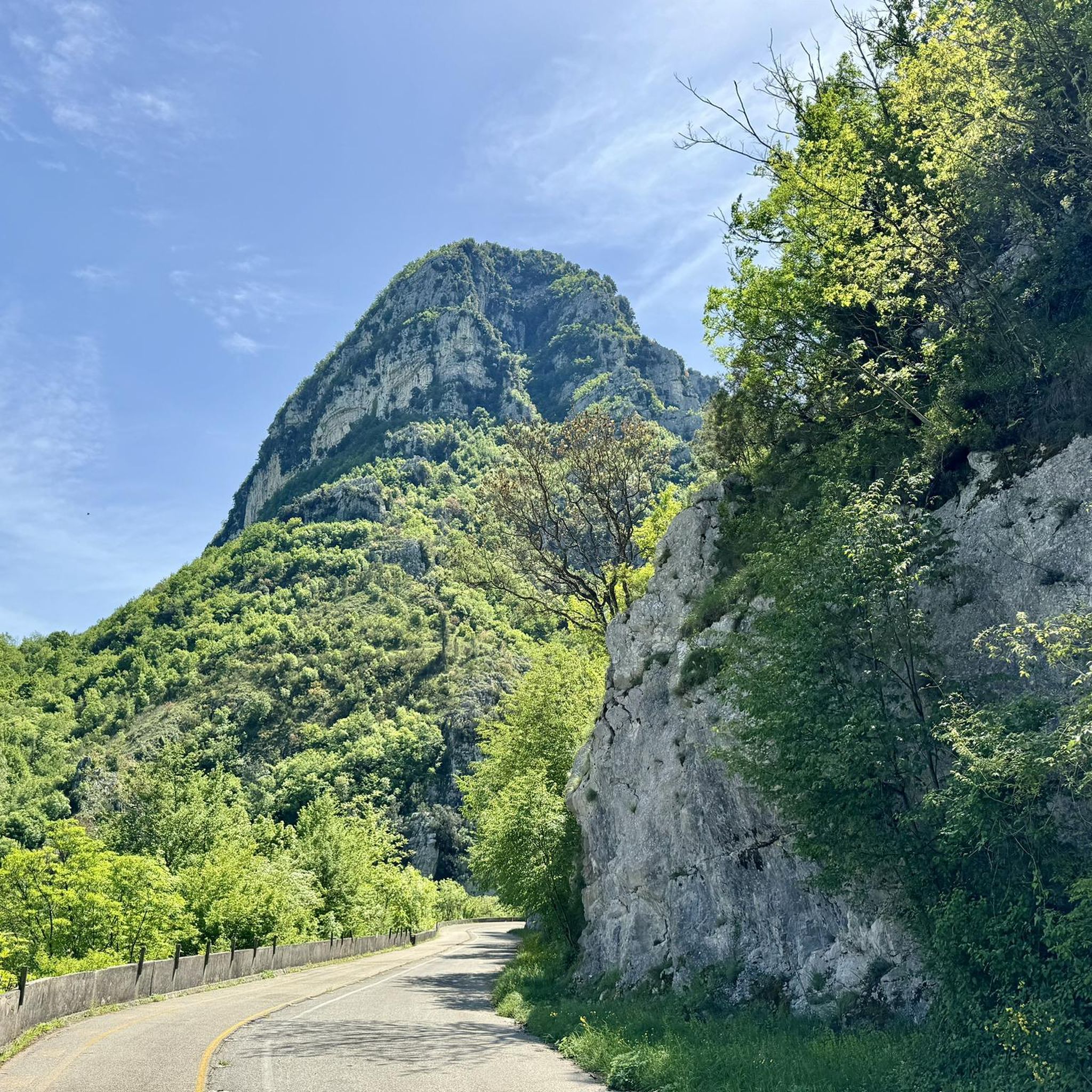
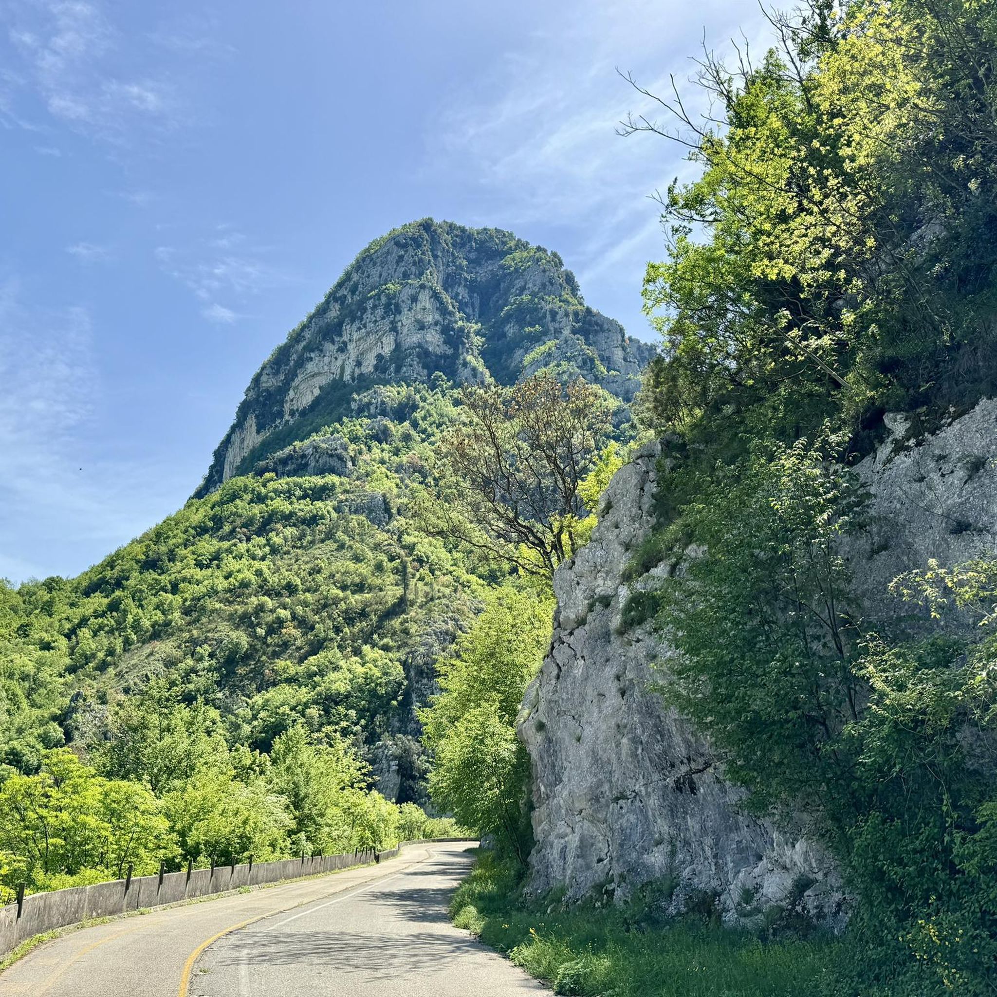
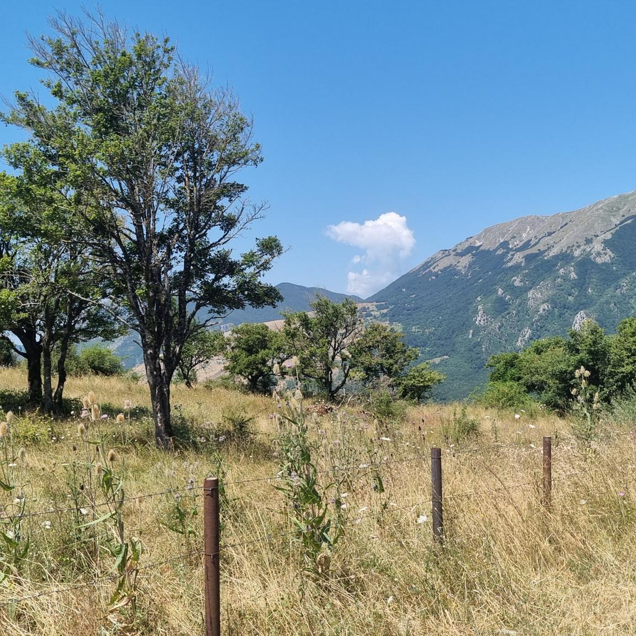
Jogging routes around Pietraroja are set within the diverse natural landscape of the eastern Matese chain, part of the southern Apennines. The region features mountainous terrain, extensive woods, and abundant springs, providing varied environments for running. Situated at an average altitude of 818 meters, Pietraroja offers a fresh climate ideal for outdoor activities. The Matese Regional Park encompasses many trails, winding through river-carved gorges and ancient paths.
Best jogging routes around Pietraroja
- The most popular jogging route is Sentiero Italia CAI Cycle Trail, a 5.3 miles (8.6 km) trail that takes 1 hour 26 minutes to complete. This route offers a challenging experience with notable elevation gain.
- Another top favourite among local runners is Monte Orso Loop Trail, an easy 2.6 miles (4.2 km) path. This trail provides a gentle run through natural surroundings, ideal for a quicker outing.
- Local runners also love the From Le Falode to Belvedere del Pianellone – ring tour, a 5.3 miles (8.6 km) trail leading through varied terrain, often completed in about 1 hour 41 minutes.
- Jogging around Pietraroja is defined by mountainous landscapes, lush woods, and the natural beauty of the Matese Regional Park. The network offers options for different ability levels, from easy loops to more difficult ascents.
- The guide includes highly-rated routes that showcase the best of the region's landscape. More than 10 runners have used komoot to explore Pietraroja's varied terrain.
Last updated: July 8, 2026
2
runners
8.57km
01:27
90m
90m
This difficult 5.3-mile jogging ring tour in Matese Regional Park offers 301 feet of elevation gain and takes about 1 hour 26 minutes.
4.16km
00:31
100m
100m
Enjoy an easy 2.6-mile jogging loop through the scenic Matese Regional Park, passing the Ecocampus Monte Orso Refuge.

Sign up for free
8.62km
01:41
420m
420m
Hard run. Very good fitness required. Sure-footedness, sturdy shoes and alpine experience required.
4.12km
00:28
80m
90m
Easy run. Great for any fitness level. Mostly paved surfaces. Suitable for all skill levels.
5
runners
7.98km
00:53
180m
170m
Moderate run. Good fitness required. Mostly paved surfaces. Suitable for all skill levels.
Get access to more routes and recommendations from other explorers.
Sign up for free
Already have an account?
Our route recommendations are based on thousands of hikes, rides, and runs completed by other people on komoot.
Start today with a free account
Your next adventure awaits.
Login or Signup
Tips from the Community

The old door is a stone lintel, and divided the two parts of the town – the medieval one, and the 15th century one.
0
0
From here you have a beautiful view of Cusano Mutri, surrounded by tranquility and nature.
0
0
Monte Calvario is located at 545 meters and offers a beautiful view of Cusano Mutri and its surroundings.
1
0
This rooftop terrace offers a breathtaking view of the Maltese lake.
1
0
The Monte Orso ecocampus, also known as the Santa Maria Valley Refuge, is located at an altitude of 1500 metres.
1
0
The Falode agritourism is an activity which, in addition to the restaurant, offers bike rental and also offers horseback riding. They also offer sleeping accommodation and there is also a camping area.
1
0
The Pianellone is located at an altitude of 1390 meters. It is one of the largest karst basins in the Matese area.
1
0

A beautiful place to accompany in the evening
0
0
Frequently Asked Questions
What kind of terrain can I expect on the running routes around Pietraroja?
The running routes in and around Pietraroja are characterized by a diverse natural landscape, including mountainous terrain, extensive woods, and areas with abundant springs. You'll find paths winding through river-carved gorges and ancient trails, particularly within the Matese Regional Park. The region's average altitude of 818 meters means you can expect varied elevation changes, offering both gentle slopes and more challenging ascents.
Are there running routes suitable for beginners or those looking for an easy jog?
Yes, Pietraroja offers several easy running routes perfect for beginners or a relaxed outing. For instance, the Monte Orso Loop Trail is an easy 2.6-mile (4.2 km) path that provides a gentle run through natural surroundings. Another accessible option is the From Cusano Mutri to Monte Calvario – ring tour, which is also rated as easy.
How many running trails are available in the Pietraroja area?
There are approximately 9 dedicated running routes around Pietraroja listed in this guide. These routes offer a variety of distances and difficulty levels, ensuring options for different preferences and fitness levels.
What are some challenging running routes for experienced runners?
For experienced runners seeking a challenge, Pietraroja offers routes with notable elevation gain and varied terrain. The Sentiero Italia CAI Cycle Trail is a 5.3-mile (8.6 km) route rated as difficult, providing a demanding experience. Another difficult option is the From Le Falode to Belvedere del Pianellone – ring tour, also 5.3 miles (8.6 km), which leads through varied and challenging terrain.
Are there any circular running routes in Pietraroja?
Yes, many of the running routes around Pietraroja are designed as circular tours, allowing you to start and end at the same point. Examples include the easy Monte Orso Loop Trail and the more challenging From Le Falode to Belvedere del Pianellone – ring tour. These loops are ideal for exploring the natural beauty without retracing your steps.
What natural features or viewpoints can I see while running in Pietraroja?
Pietraroja's location within the Matese Regional Park offers stunning natural features and panoramic views. You can expect to see lush woods, abundant springs, and river-carved gorges. Higher elevation routes may offer expansive views of the Apennines, and on clear days, even the sea. A notable viewpoint is Belvedere del Pianellone: View over Lake Matese, which can be part of a running tour.
Is Pietraroja a good destination for family-friendly running or jogging?
Absolutely. The Matese Regional Park, which surrounds Pietraroja, offers trails suitable for various fitness levels, including easier paths that are great for families. The fresh, cool climate, especially in summer due to the area's altitude, makes it pleasant for outdoor activities with children. Look for routes described as 'easy' for the most family-friendly options.
What is the best time of year to go running in Pietraroja?
Pietraroja's average altitude of 818 meters provides a fresh, cool climate, making it particularly ideal for running during the warmer months, such as spring, summer, and early autumn. The lush woods offer shade, and the abundant springs contribute to a refreshing environment. While winter running is possible, be prepared for colder temperatures and potential snow in higher elevations.
Are there any historical or geological points of interest near the running routes?
Yes, Pietraroja is renowned for its rich geological history. The area is famous for the Cretaceous-era Pietraroja Plattenkalk, known for exceptionally well-preserved fossils, including the dinosaur Scipionyx samniticus. This paleontological significance has led to the region being designated a 'Geopaleontological Park'. While not directly on every running path, this heritage adds an intriguing layer to the natural landscape. You can learn more about the Geopaleontological Park of Pietraroia.
Are there any lakes or water features accessible from the running trails?
Yes, the region around Pietraroja features several beautiful water bodies. While running, you might encounter views of Lake Matese from viewpoints like Belvedere del Pianellone. Other nearby lakes include Lake Campolattaro - WWF Oasis and Lake Campolattaro, offering serene settings that can be incorporated into longer running excursions or visited separately.
What is the typical elevation gain on running routes in Pietraroja?
The elevation gain on running routes in Pietraroja varies significantly depending on the trail. Easy routes like the From Cusano Mutri to Monte Calvario – ring tour might have around 80-90 meters of ascent. More challenging routes, such as the Piazza Roma – Porta Vecchia of Via Nicola loop from Cusano Mutri, can involve over 170 meters of elevation gain, providing a good workout amidst the mountainous landscape.
Can I find accommodation or places to eat near the running trails in Pietraroja?
Pietraroja is a charming municipality, and while specific cafes or pubs directly on every trail are not guaranteed, the village itself and surrounding towns offer options for accommodation and dining. Given its location within a regional park, you'll find local establishments that cater to visitors exploring the natural beauty of the area.
Most popular attractions around Pietraroja

Get inspired with the komoot mobile app


Explore more
Browse the best Running Trails & Routes in other regions.
