The best running trails around Patiolla/Dolianova
4.9
(19)
433
runners
63
runs
Jogging around Patiolla/Dolianova offers a variety of running trails through a landscape characterized by rolling hills and Mediterranean vegetation. The region features both challenging ascents and gentler paths, providing diverse options for runners. Elevation changes are common, with some routes reaching over 300 meters of ascent, while others remain relatively flat near lagoons.
Best jogging routes around Patiolla/Dolianova
- The most popular jogging route is Mont'Arrubiu loop from Sìnnia/Sinnai, a 8.3 miles (13.4 km) trail that takes 1 hour 31…
Last updated: July 8, 2026
7
runners
4.44km
00:29
90m
90m
Easy run. Great for any fitness level. Mostly paved surfaces. Suitable for all skill levels.
5.0
(1)
17
runners
23.0km
02:41
660m
660m
Hard run. Very good fitness required. Mostly paved surfaces. Suitable for all skill levels.

Sign up for free
5.0
(2)
13
runners
7.93km
00:49
60m
60m
Moderate run. Good fitness required. Mostly paved surfaces. Suitable for all skill levels.
10
runners
18.4km
02:16
680m
680m
Hard run. Very good fitness required. Mostly paved surfaces. Suitable for all skill levels.
14
runners
Moderate run. Good fitness required. Mostly paved surfaces. Suitable for all skill levels.
Get access to more routes and recommendations from other explorers.
Sign up for free
Already have an account?
Our route recommendations are based on thousands of hikes, rides, and runs completed by other people on komoot.
Start today with a free account
Your next adventure awaits.
Login or Signup
Tips from the Community

currently (June 2025) closed by scaffolding for restoration
0
0

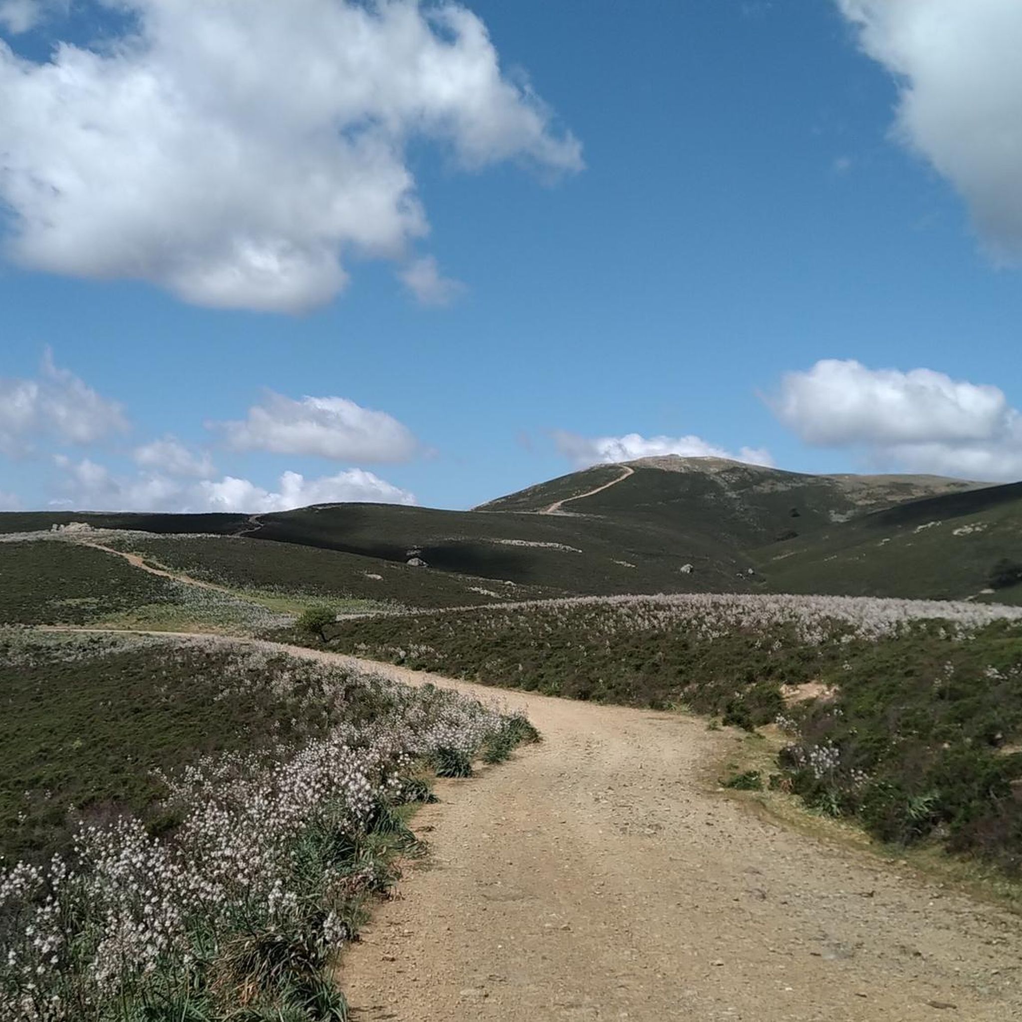
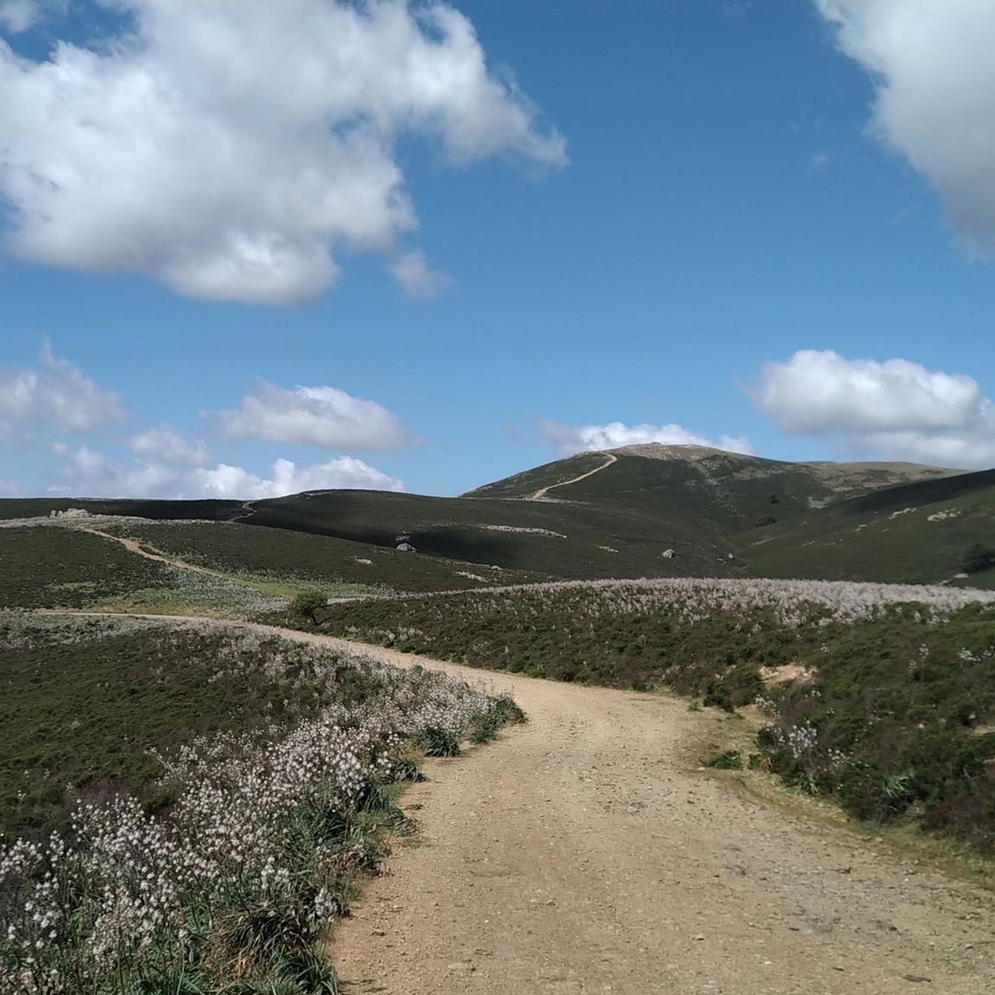
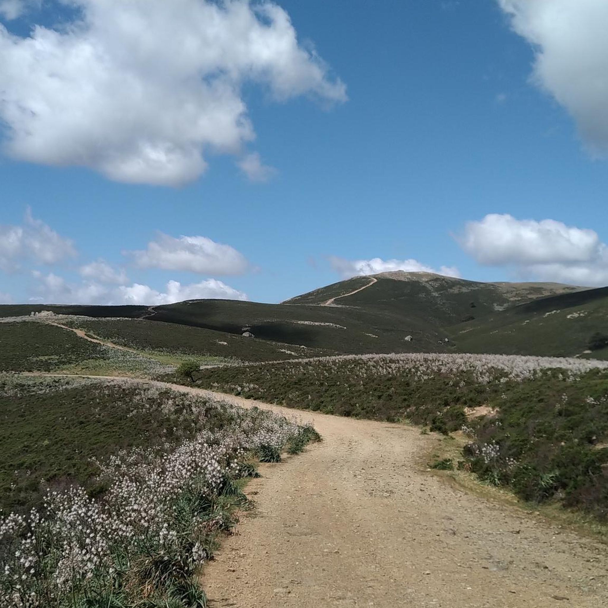
Punta Serpeddì, the highest point of the Sarrabus mountains, offers spectacular views that embrace the south-eastern coast of Sardinia. At 1,069 meters, it is an ideal place for excursions, offering a complete immersion in the wild nature and Mediterranean scrub that characterizes this region.
0
0


magnificent pearl in the countryside! adjoining park with benches, tables and games for children! excellent stopping point to rest or have a snack!
1
0

A very nice spot where you could also camp out with your tent if you are following a Mtb or gravel trip.
1
0
Difficult climb but at the same time very beautiful.
1
0
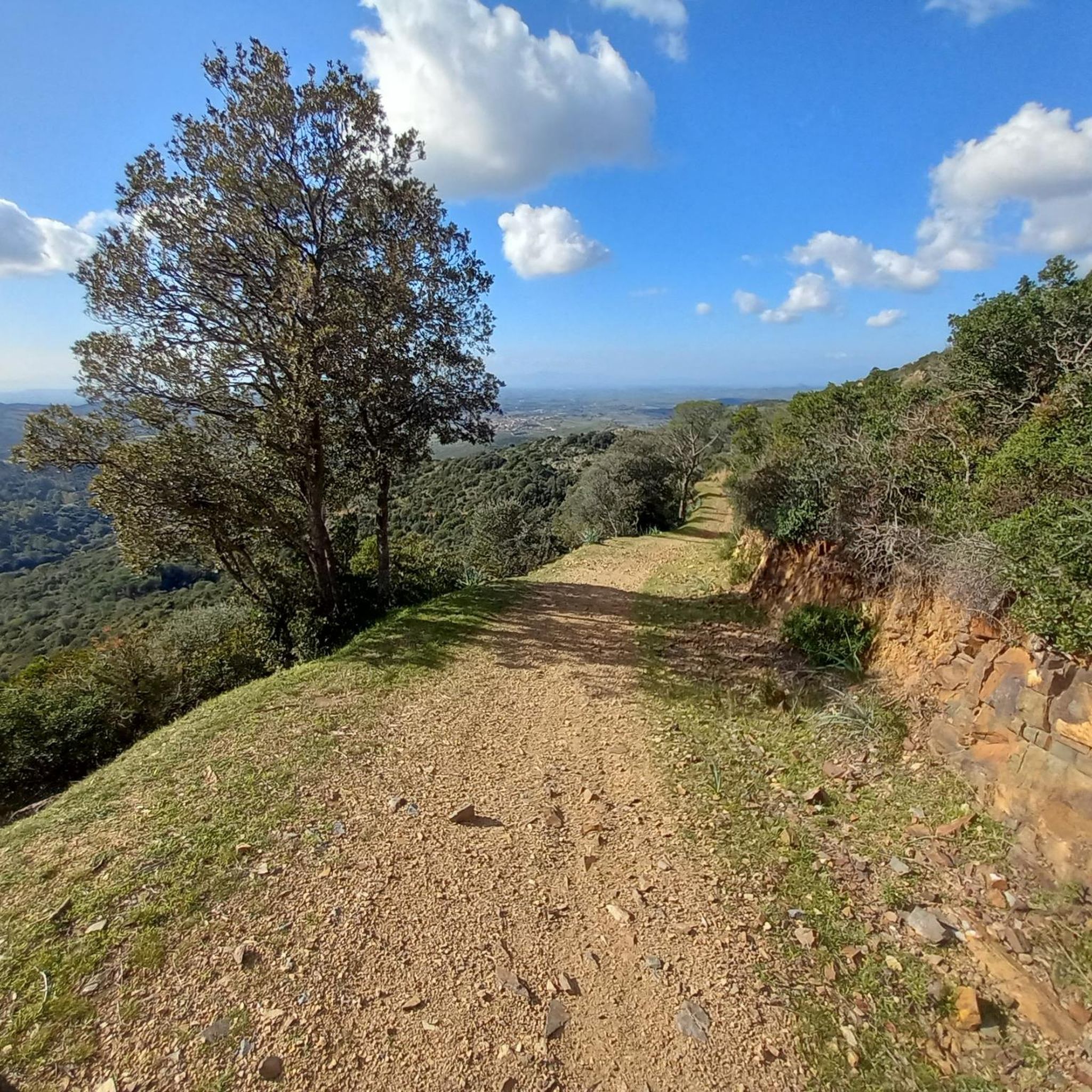
Demanding switchbacks to tackle but at the same time scenic and magnificent.
1
0

The ancient country church of Santa Maria di Sibola dates back to around 1125. It was born where the village of Sibola was once located. It is located in the countryside of the municipality of Serdiana
2
0
Frequently Asked Questions
How many running routes are available in Patiolla/Dolianova?
Patiolla/Dolianova offers a wide selection of running trails, with over 50 routes available for jogging. These range from easy paths to more challenging runs through hilly terrain.
Are there any easy jogging routes in Patiolla/Dolianova?
Yes, there are several easy jogging routes. The region features gentler paths suitable for a relaxed run. For example, the Stagno di Stani Saliu – Stani Saliu loop from Chiesa di Santa Maria di Sibiola is a moderate 5.6-mile (8.9 km) trail near a lagoon, offering a relatively flat experience.
What kind of elevation changes can I expect on running trails in Patiolla/Dolianova?
The running trails in Patiolla/Dolianova feature diverse elevation changes. Some routes include significant ascents, reaching over 300 meters of elevation gain, particularly in the rolling hills. Other paths, especially those near lagoons, remain relatively flat.
Are there any family-friendly running routes in the Patiolla/Dolianova area?
While specific 'family-friendly' designations are not always explicit, routes with moderate difficulty and less extreme elevation changes would be suitable. Consider paths like the Bruncu Mogumu loop from Sìnnia/Sinnai, which is a moderate 3.6-mile (5.8 km) path offering scenic views without being overly strenuous.
Are dogs allowed on the jogging trails around Patiolla/Dolianova?
Many outdoor trails in the Patiolla/Dolianova region are generally dog-friendly, but it's always recommended to keep your dog on a leash, especially in areas with wildlife or near private property. Always check local regulations for specific routes or protected areas.
What are the typical durations for jogging routes in Patiolla/Dolianova?
Running route durations vary significantly based on distance and elevation. Shorter, moderate routes like the Bruncu Mogumu loop from Sìnnia/Sinnai can be completed in about 39 minutes. Longer, more difficult trails, such as the Mont'Arrubiu loop from Sìnnia/Sinnai, may take around 1 hour 31 minutes or more.
Are there any scenic running routes with viewpoints in Patiolla/Dolianova?
Yes, the region offers scenic routes with opportunities for views. The landscape is characterized by rolling hills and Mediterranean vegetation. For a notable vista, consider seeking out the View of the Gulf of Cagliari from Arcu S'Aurredda, which can be incorporated into longer runs.
What natural attractions can I see along the running routes?
While jogging, you might encounter various natural attractions. The region features areas near lagoons, such as the Lago di Saliu. You can also discover natural monuments like the Mitza de su Tiriaxiu Spring or the Is Alinus Spring.
Are there many loop running routes in Patiolla/Dolianova?
Loop routes are very common and popular in Patiolla/Dolianova. Many of the top-rated trails, such as the Running loop from Patiolla/Dolianova, are designed as loops, allowing runners to start and finish at the same point without retracing their steps.
What do other runners enjoy most about jogging in Patiolla/Dolianova?
The running routes in Patiolla/Dolianova are highly rated by the komoot community, with an average score of 5.0 stars from over 15 reviews. Runners often praise the varied terrain, which includes rolling hills and Mediterranean scrubland, offering a diverse and engaging experience for all ability levels.
Are there any particularly challenging running routes for experienced runners?
Yes, for experienced runners seeking a challenge, there are difficult routes with significant elevation gain. The Running loop from Tasonis is a demanding 14.1-mile (22.8 km) trail with over 800 meters of ascent, providing a strenuous workout through hilly terrain.
What is the best season for jogging in Patiolla/Dolianova?
The Mediterranean climate of Patiolla/Dolianova generally makes it suitable for jogging for much of the year. Spring and autumn offer pleasant temperatures, ideal for longer runs. Summers can be hot, so early morning or late evening runs are recommended, while winters are typically mild, allowing for year-round activity.
Most popular routes around Patiolla/Dolianova
Most popular attractions around Patiolla/Dolianova

Get inspired with the komoot mobile app


Explore more
Browse the best Running Trails & Routes in other regions.
