The best MTB trails around Rocchetta Ligure
4.5
(144)
520
riders
42
rides
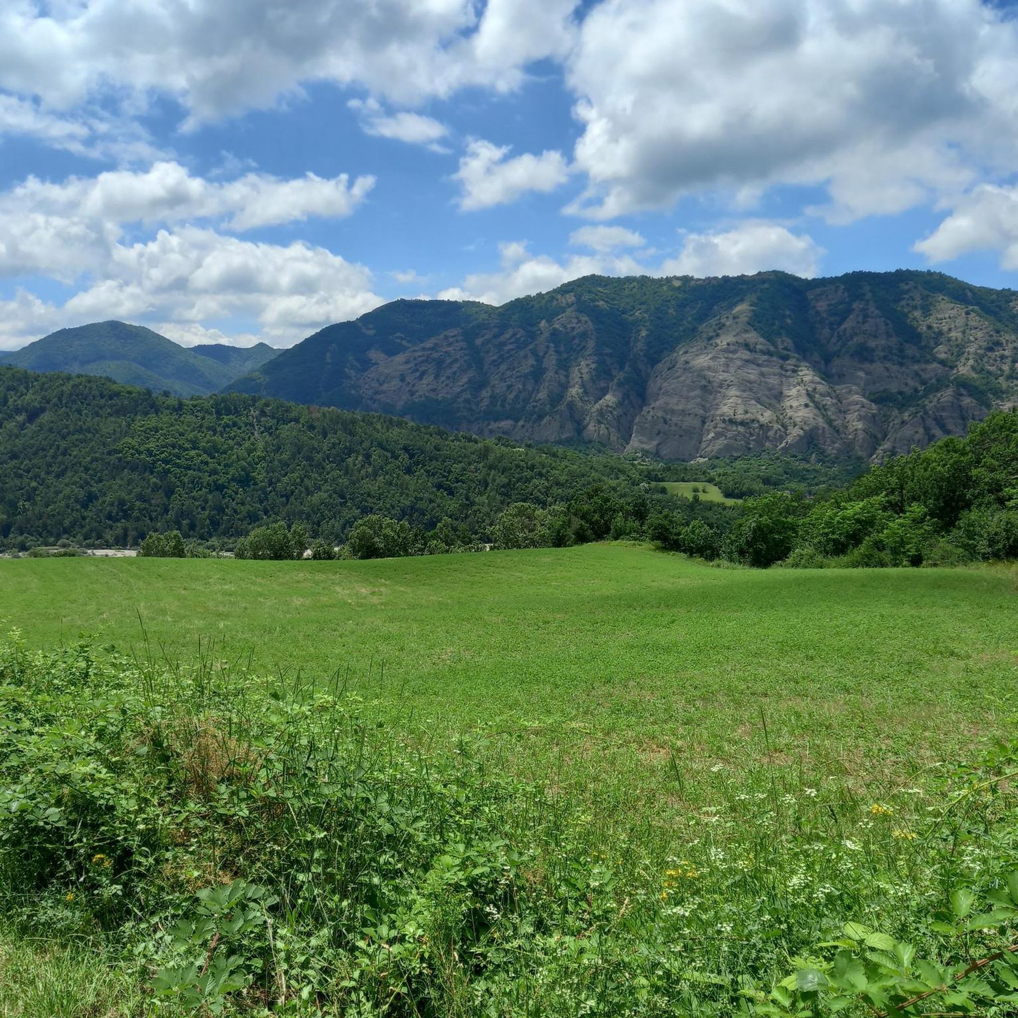
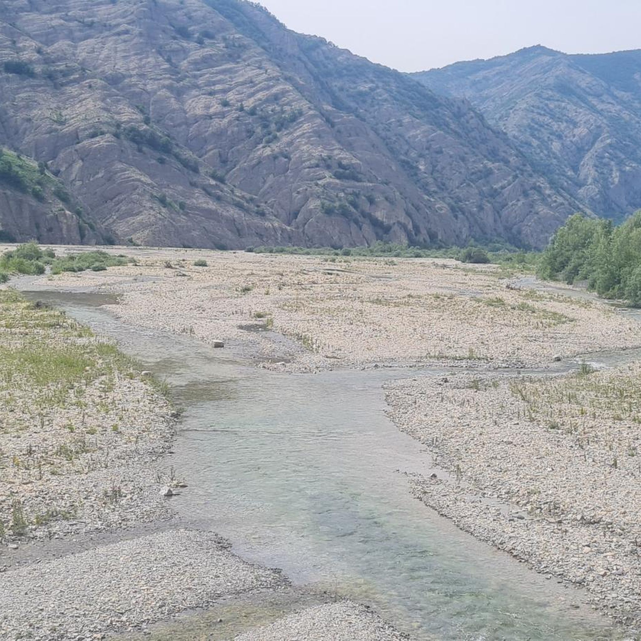
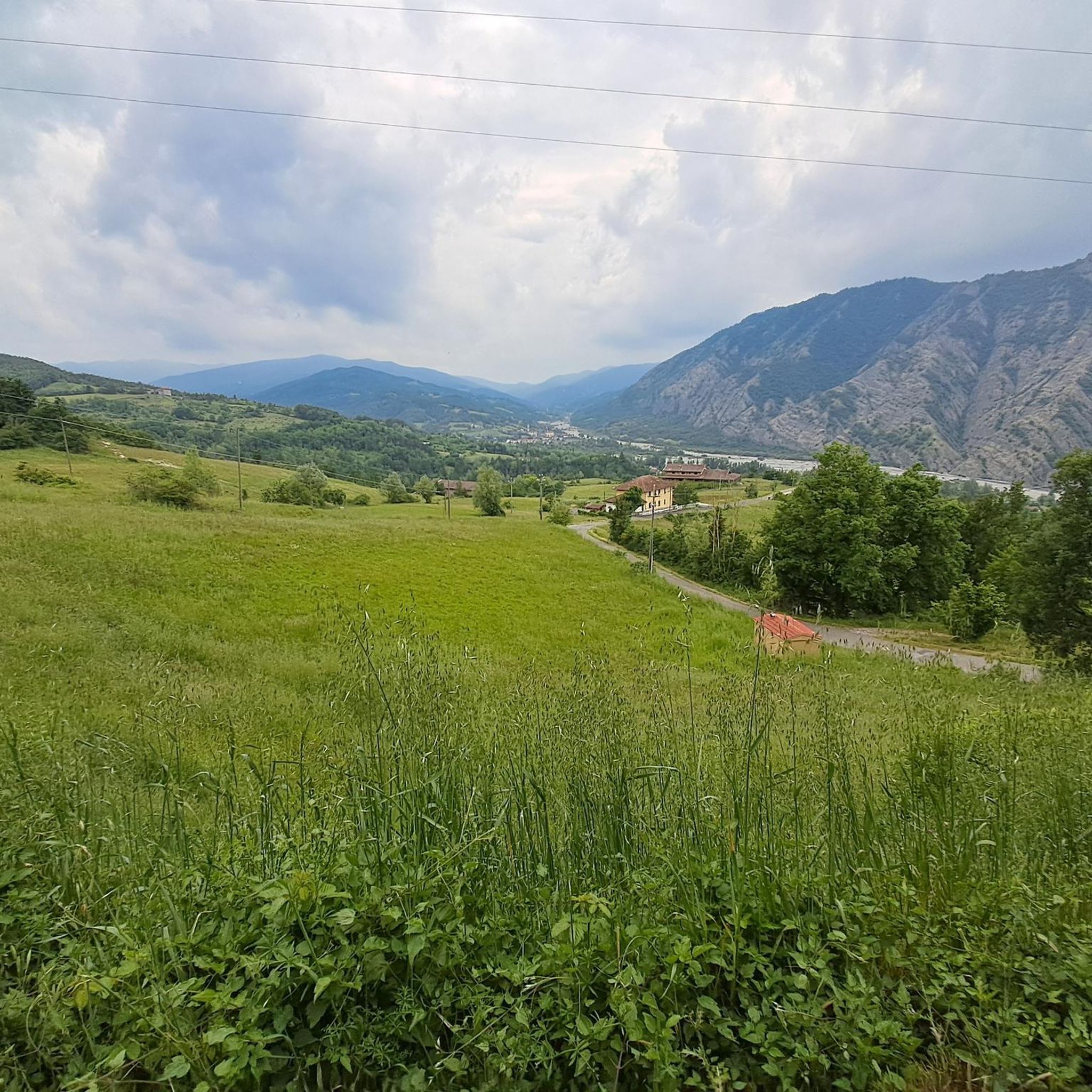
Mountain biking around Rocchetta Ligure, situated in the Val Borbera within the Ligurian Apennines, offers varied terrain for riders. The region features significant elevation changes, from approximately 300 meters to peaks reaching nearly 1,700 meters above sea level, including mountains like Monte Giarolo and Monte Ebro. The landscape is shaped by the Borbera stream, creating features such as the Strette di Pertuso canyon, and includes dirt roads, shaded forests, and high-altitude meadows. This area provides a network of trails across…
Last updated: October 18, 2026
5.0
(2)
7
riders
36.8km
03:56
1,280m
1,280m
Hard mountain bike ride. Very good fitness required. Advanced riding skills necessary.
1.0
(1)
11
riders
33.9km
04:19
1,620m
1,620m
Hard mountain bike ride. Very good fitness required. Advanced riding skills necessary. Some portions of the route may require you to push your bike.

3.0
(2)
10
riders
Moderate mountain bike ride. Good fitness required.
5.0
(1)
7
riders
25.4km
02:51
990m
990m
Hard mountain bike ride. Very good fitness required. Advanced riding skills necessary.
11
riders
3.81km
00:40
300m
300m
Easy mountain bike ride.
Get access to more routes and recommendations from other explorers.
Already have an account?
Our route recommendations are based on thousands of hikes, rides, and runs completed by other people on komoot.
Start today with a free account
Your next adventure awaits.
Tips from the Community

If you want to find the refuge open, you need to check online, currently 20/09/2006 it is closed due to a failure in the water supply system.
0
0

Splendid pass with gravel road and views of the surrounding green mountains
0
0
Fun and well-maintained downhill trails
0
0
I haven't counted them, but I think there are more stuffed animals than inhabitants. Or maybe the stuffed animals are the inhabitants? To tell the truth, I didn't see any inhabitants. Hitchcockian!
0
0

Beautiful and scenic stop after the climb along the Apennine bike tour
1
0
Between Cosola and Capanne di Cosola, road of the champions and itinerary of the Apennine bike tour
1
0

The Rifugio Monte Elfo is a small hiking refuge in the Ligurian-Piedmontese Apennines, located in the surroundings of Pian del Poggio and the Monte Ebro / Monte Chiappo area. It appears in various trekking and MTB itineraries in the area of Caldirola and Pian del Poggio.
12
0

Each of these crosses, which travelers often encounter in the fields or, as here, on mountain peaks, is a reminder of the crucifixion and resurrection of Jesus Christ. “Here on earth, His memory exists, but in the Kingdom of Heaven is His presence: this presence is the joy of those who have already attained salvation. Remembrance is our comfort, we who are still wanderers, traveling toward our homeland.” (Saint Bernard of Clairvaux, c. 1090–1153)
0
0
Frequently Asked Questions
How many mountain bike trails are available around Rocchetta Ligure?
There are over 30 mountain bike routes around Rocchetta Ligure, offering a variety of experiences for different skill levels. The majority of these, 25 routes, are classified as difficult, while 9 are moderate.
What types of terrain can I expect on mountain bike trails in Rocchetta Ligure?
The terrain around Rocchetta Ligure is highly varied, reflecting its location in the Ligurian Apennines. You'll encounter significant elevation changes, from valley floors to peaks reaching nearly 1,700 meters. Trails feature dirt roads, shaded forests, high-altitude meadows, and even rocky sections, providing a diverse and engaging riding experience.
Are there any family-friendly mountain bike trails in Rocchetta Ligure?
While many routes are challenging, the region does offer options suitable for families. Look for routes that wind through charming villages and along valley floors, which tend to be less demanding. For example, the Sanctuary of the Infant Jesus of Prague – Vignole–Vanzelle Cycle Path loop from Boscopiano is a moderate route that could be suitable for families with some biking experience.
Can I bring my dog on the mountain bike trails in Rocchetta Ligure?
Many trails in the Val Borbera region are suitable for dogs, especially those that traverse forests and meadows. However, it's always best to check specific trail regulations or local signage. Ensure your dog is well-behaved, on a leash where required, and that you carry enough water for both of you, especially on longer rides.
What natural features or landmarks can I see along the mountain bike routes?
The trails offer access to stunning natural features and historical landmarks. You can ride past the dramatic Strette del Borbera canyon, explore areas near Monte Ebro for panoramic views, or even discover the ruins of Castello della Pietra. Many routes also pass through dense beech forests and high-altitude meadows.
Are there any circular mountain bike routes available?
Yes, many of the mountain bike routes around Rocchetta Ligure are designed as loops. For instance, the challenging Rifugio Piani di San Lorenzo loop from Borgo Adorno and the Caldirola Bike Park – Colle della Seppa loop from Caldirola are popular circular options that allow you to start and finish in the same location.
What is the best time of year for mountain biking in Rocchetta Ligure?
The Val Borbera region is generally pleasant for mountain biking from spring through autumn. Spring offers lush greenery and blooming wildflowers, while autumn provides cooler temperatures and vibrant foliage. Summer can be warm, but higher-altitude trails or rides along the Borbera stream offer refreshing options. Winter can bring snow to higher elevations, making some trails inaccessible.
What do other mountain bikers enjoy most about the trails in Rocchetta Ligure?
The area is highly rated by the komoot community, with an average score of 4.5 stars from over 120 reviews. Riders often praise the diverse landscapes, the challenging climbs, and the rewarding panoramic descents. The unspoiled nature and varied terrain, from forests to high-altitude meadows, are frequently highlighted as key attractions.
Are there any mountain huts or shelters along the trails?
Yes, there are several huts and shelters in the vicinity that can serve as rest stops or points of interest. Notable examples include Rifugio Monte Chiappo and Capanne di Cosola. These can be found along or near many of the higher-altitude routes.
Are there any shorter, more accessible mountain bike routes for beginners?
While most routes are classified as moderate to difficult, some shorter options exist. For example, the Brusamonica Castle_Ruins – Caldirola Bike Park loop from Caldirola is a shorter, albeit still difficult, route at 6.5 km. Beginners might consider exploring the valley floor paths or seeking out local guides for tailored, easier experiences.
What are the elevation changes like on the mountain bike trails?
Mountain biking in Rocchetta Ligure involves significant elevation changes. The region ranges from approximately 300 meters to nearly 1,700 meters above sea level. Many difficult routes feature substantial climbs, with some gaining over 1,700 meters in elevation, offering demanding ascents and thrilling descents.
Most popular attractions around Rocchetta Ligure

Get inspired with the komoot mobile app


Explore more
Browse the best MTB trails in other regions.
