The best walks and hikes around Carrosio
4.3
(603)
2,368
hikers
148
hikes
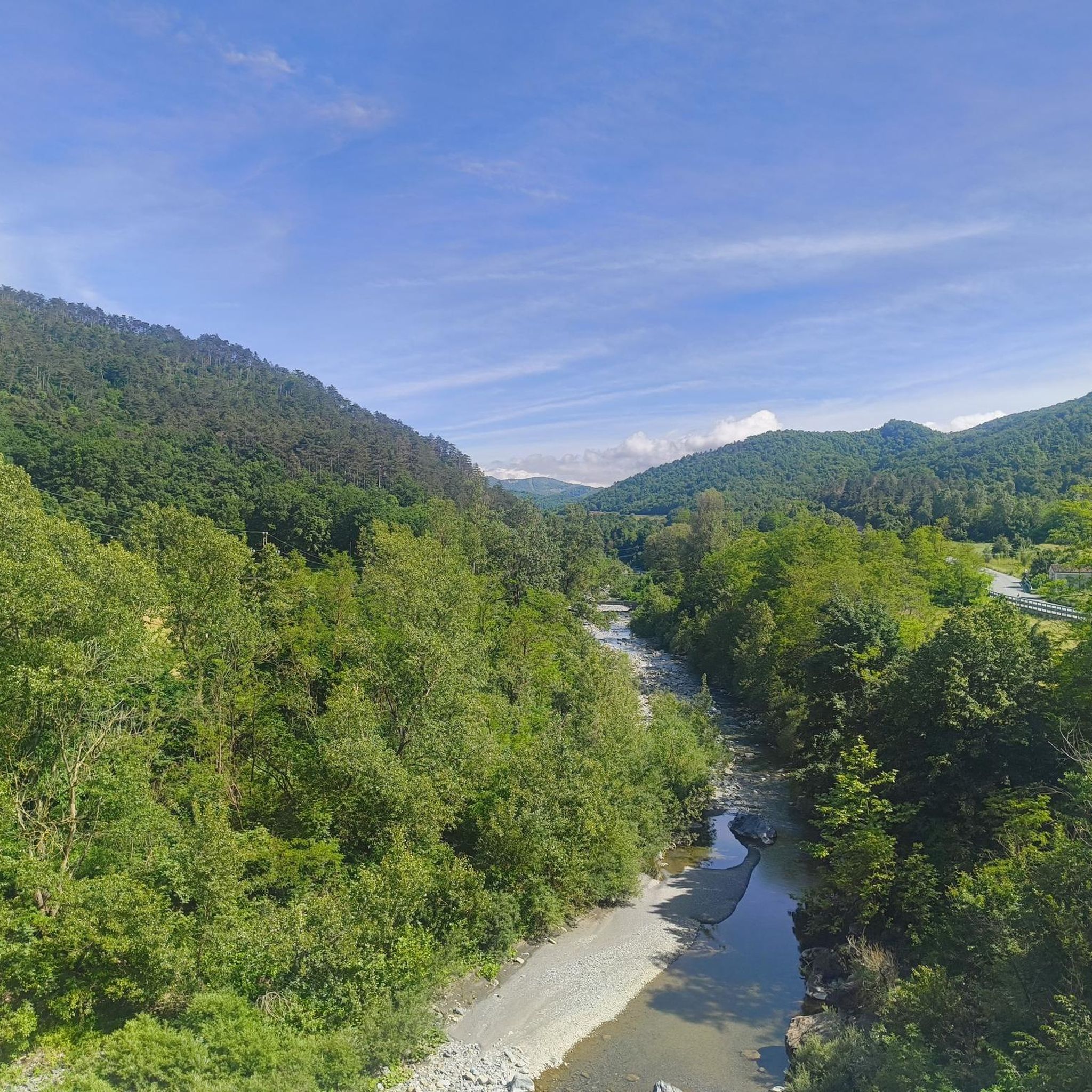
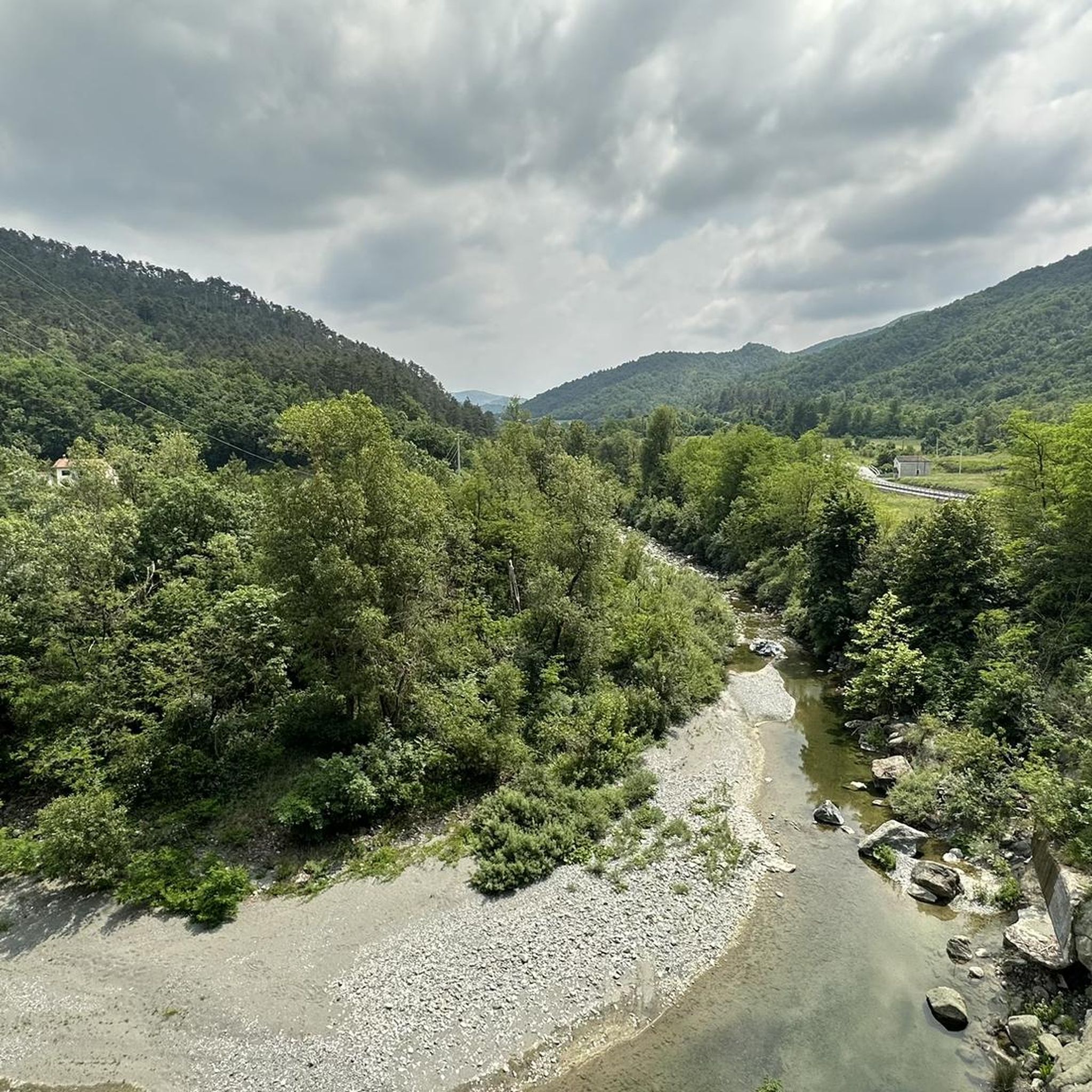
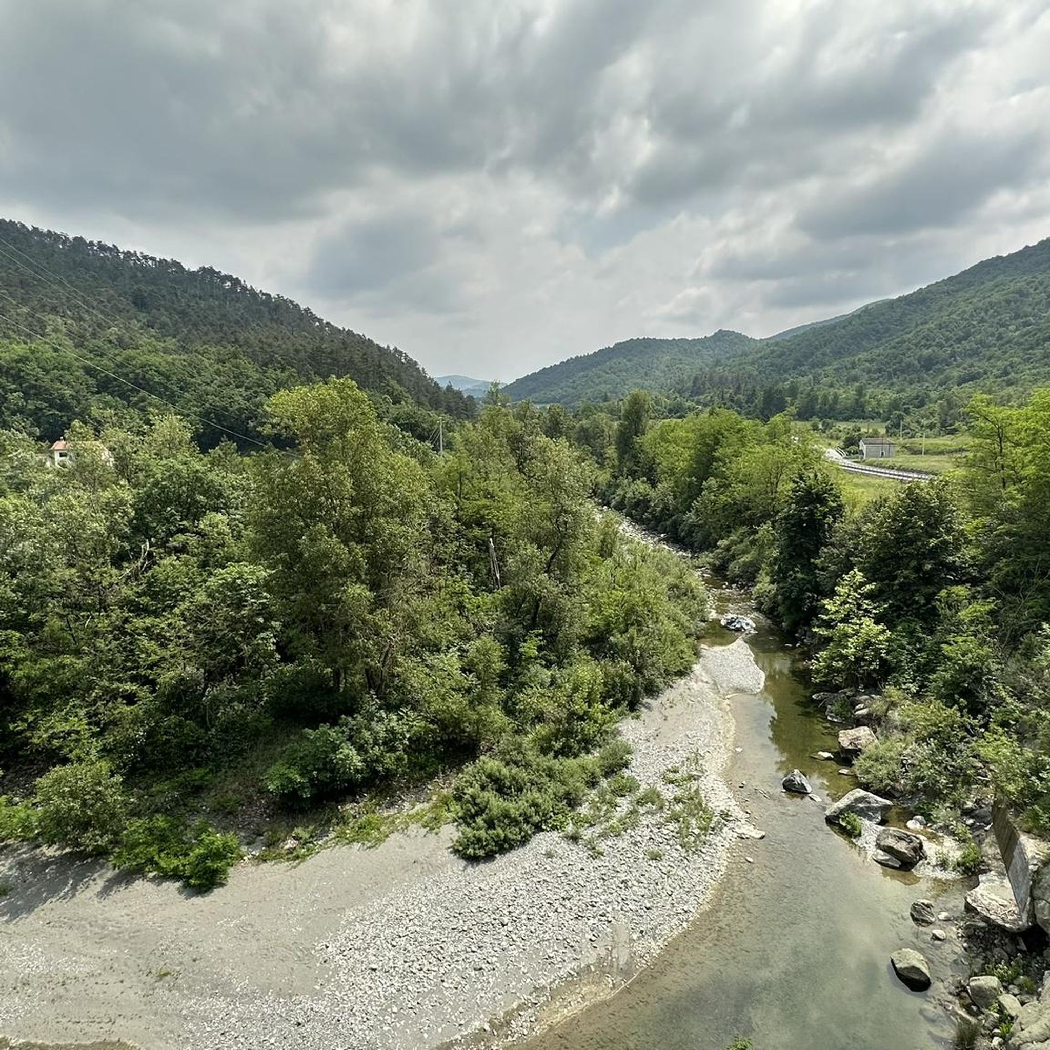
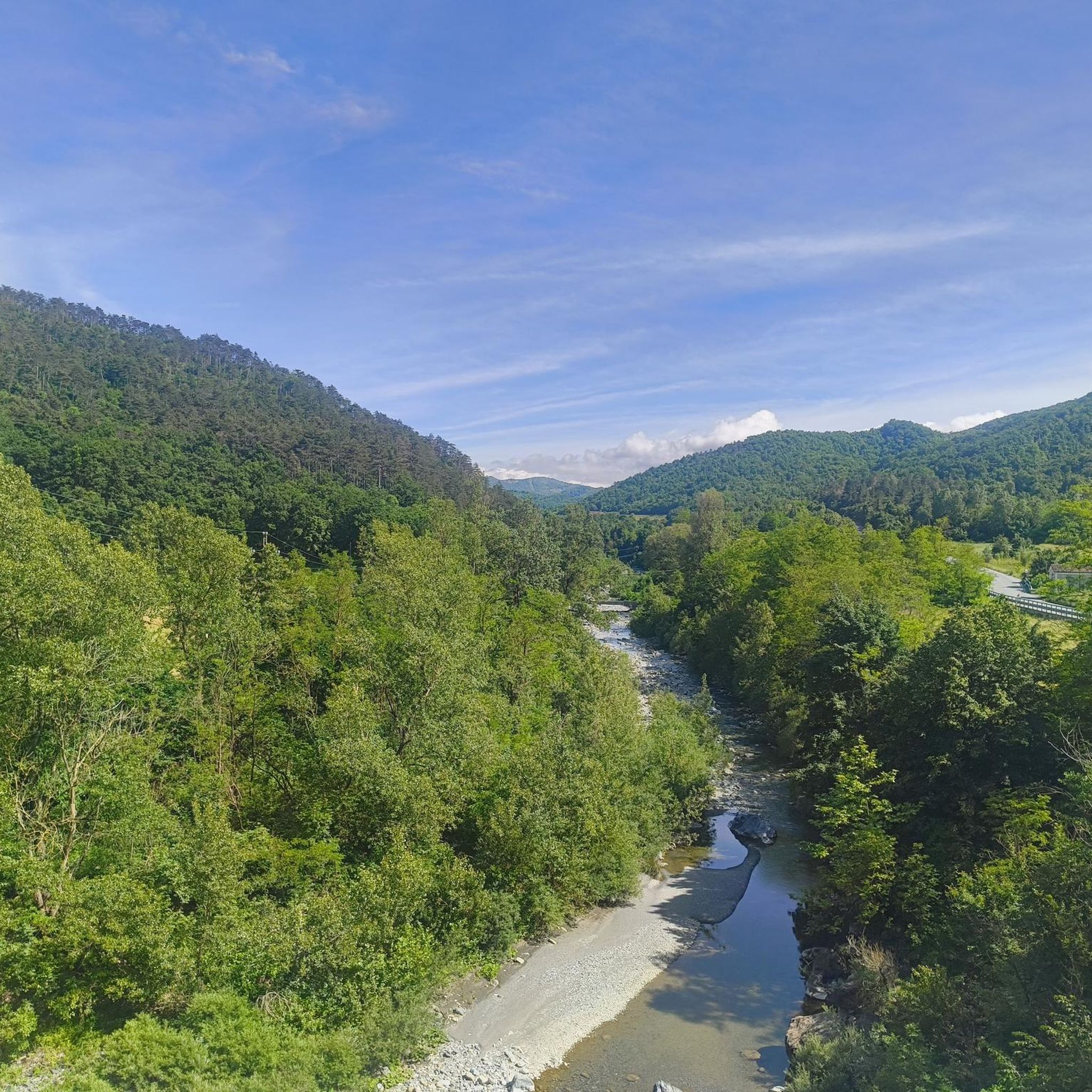
Hiking around Carrosio offers diverse landscapes in Piedmont, Italy, characterized by long, steep hills divided by deep valleys. The region features impressive mountain peaks like Monte Figne and Monte Tobbio, providing expansive views. Trails often traverse natural environments, including chestnut and fir forests, with poplars along the Lemme river, and sections within the Capanne di Marcarolo Park. The varied terrain includes easily accessible paths, moderately challenging routes, and difficult sections requiring good physical condition.
Best hiking trails around Carrosio
- The…
Last updated: July 1, 2026
4.7
(48)
165
hikers
12.5km
05:26
730m
730m
Ancient mule track through chestnut forests to Monte Tobbio's summit chapel with 360-degree Alpine views.
4.9
(9)
24
hikers
9.10km
03:34
390m
390m
Forest trail through Capanne di Marcarolo park, passing castle ruins and outdoor fitness stations.

Sign up for free
18.6km
05:14
390m
390m
Hike the difficult 11.6-mile Val Rossara to Monte Erbano via Trail 290, featuring varied terrain from woods to panoramic meadows.
16.4km
04:51
480m
480m
Historic trail through rural Piedmont's rolling hills, following ancient paths between peaceful hamlets.
4.2
(13)
65
hikers
12.6km
05:49
860m
860m
Hard hike. Very good fitness required. Sure-footedness, sturdy shoes and alpine experience required.
Get access to more routes and recommendations from other explorers.
Sign up for free
Already have an account?
Our route recommendations are based on thousands of hikes, rides, and runs completed by other people on komoot.
Start today with a free account
Your next adventure awaits.
Login or Signup
Tips from the Community

This is a wild alternative route to return to Voltaggio or to climb to Tobbio. Marked only by cairns, it requires good orientation skills. It is very technical but not dangerous. To be avoided in case of poor visibility. Perhaps it is better uphill, downhill it puts a strain on the joints.
0
0

A wonderful view of the surrounding valleys
0
0

Be careful, however, as the path has very tall grass. YOU ABSOLUTELY MUST BE TREATED WITH LONG PANTS, risk of ticks!!!!
1
0
From here you have a great view of what is around Monte Tobbio
0
0

Wonderful view from up here, with the refuge chapel useful in case of bad weather, or for warming up in case of low temperatures. There are various paths, usually you follow the 401 and from Voltaggio it takes about 3 hours of hiking
2
1
At the Dagliola pass there are still 50 minutes left to reach the summit of Mount Tobbio, but it's worth it.
0
0

Nice place to take a break
0
0

Mount Tobbio, in the Parco delle Capanne di Marcarolo, is located along the mountain range that separates Piedmont from Liguria
0
0
Frequently Asked Questions
How many hiking trails are available around Carrosio?
There are over 100 hiking trails around Carrosio, offering a wide range of options for different skill levels. This includes approximately 20 easy routes, over 60 moderate trails, and nearly 30 difficult ascents.
What kind of terrain can I expect on hikes in Carrosio?
The terrain around Carrosio is quite varied, characterized by long, steep hills and deep valleys. You'll find trails traversing natural environments, including chestnut and fir forests, with poplars along the Lemme river. Many routes also pass through sections of the Capanne di Marcarolo Park. Hikers should be prepared for elevation gains ranging from around 300 meters for easier trails to over 900 meters for more strenuous undertakings.
Are there any notable landmarks or viewpoints along the hiking trails?
Yes, the region offers several impressive landmarks and viewpoints. You can reach the Summit of Monte Figne for expansive panoramic views of Monte Tobbio, the Padana plain, and even the Mediterranean Sea. Another rewarding ascent is to Mount Tobbio, where a summit chapel offers 360-degree Alpine views. Some trails, like the Voltaggio Castle Trail (via Route 403), also pass by historical castle ruins.
What is the best time of year to go hiking in Carrosio?
Carrosio is generally suitable for hiking across multiple seasons. Spring and autumn offer pleasant temperatures and vibrant natural scenery, with autumn showcasing beautiful foliage in the chestnut and fir forests. While specific winter conditions can vary, some trails may be accessible, but always check local conditions and be prepared for colder weather and potential snow at higher elevations.
Are there any family-friendly hiking options in Carrosio?
Yes, Carrosio offers a selection of easier paths suitable for families. While the region is known for its varied terrain including challenging routes, there are approximately 20 easy trails that provide a less strenuous experience, allowing families to enjoy the natural beauty without significant difficulty. Look for routes with lower elevation gains and shorter distances.
Can I bring my dog on the hiking trails in Carrosio?
Many hiking trails in Carrosio are generally dog-friendly, allowing you to enjoy the outdoors with your canine companion. However, it's always recommended to keep your dog on a leash, especially when passing through protected areas like the Capanne di Marcarolo Park, or when encountering livestock or other hikers. Always carry water for your dog and clean up after them.
Are there any circular hiking routes available?
Yes, there are circular hiking routes in the Carrosio area. For example, the Passo della Bagiola – Mount Tobbio loop from Voltaggio is a challenging circular trail that takes you through diverse landscapes and offers rewarding views. You can find other circular options by filtering routes on komoot.
What do other hikers say about the trails in Carrosio?
The hiking trails in Carrosio are highly rated by the komoot community, with an average score of 4.4 stars from over 500 reviews. Hikers often praise the diverse landscapes, the impressive mountain views from peaks like Monte Tobbio, and the opportunity to explore natural environments within the Capanne di Marcarolo Park.
Are there any challenging hikes for experienced trekkers?
Absolutely. Carrosio offers nearly 30 difficult routes designed for experienced trekkers. These trails often feature significant elevation gains and can require good physical condition and sure-footedness. An example is the Voltaggio to Monte Tobbio Summit Chapel, a demanding 7.8-mile trail leading to panoramic views.
Where can I find parking for hiking trailheads in Carrosio?
Parking availability varies by trailhead. For routes starting in or near villages like Voltaggio, you can often find designated parking areas. For more remote trailheads, roadside parking might be an option, but it's always advisable to check specific route details or local signage for the best and most appropriate parking spots before you set out.
Are there any trails that pass through the Capanne di Marcarolo Park?
Yes, several hiking routes in the Carrosio area traverse sections of the Capanne di Marcarolo Park. This natural park offers diverse flora and fauna, and trails like the Voltaggio Castle Trail (via Route 403) are known to pass through it, providing an immersive experience in the region's natural environment.
What kind of forests will I encounter on the hikes?
The hiking routes around Carrosio often lead through natural forests. Historically, the local forests included chestnuts and firs, and you can still find these species along many trails. Along the Lemme river, poplars are more dominant. These forests contribute to the scenic beauty and provide shade on your hike.
Most popular attractions around Carrosio

Get inspired with the komoot mobile app


Explore more
Browse the best Hikes in other regions.
