The 20 Most Amazing Peaks around Bobbio Pellice
Best mountain peaks around Bobbio Pellice are found within the scenic Val Pellice, offering access to a range of mountain peaks. The region provides diverse opportunities for mountaineers and hikers, from challenging ascents to panoramic viewpoints. It is known for its varied landscapes, rich biodiversity, and trails that lead to extraordinary views of the surrounding Alpine ranges. The area features high-altitude plains, significant ecological interest, and summits marking international borders.
Best mountain peaks around Bobbio Pellice
- The most popular mountain…
Last updated: July 7, 2026
Colle Vaccera
Highlight • Mountain Pass
Translated by Google •
Tip by

Pain de Sucre Summit
Highlight • Summit
Translated by Google •
Tip by

Sign up now to discover places like this
Get recommendations on the best single tracks, peaks, & plenty of other exciting outdoor places.
Sign up for free
Barbara Lowrie Hut
Highlight • Mountain Hut
Translated by Google •
Tip by

Punta Tre Chiosis
Highlight • Summit
Uphill the last 100 m. of difference in altitude are spintage, the descent to the Helios Refuge is spectacular
Translated by Google •
Tip by

Col Blanchet (2997 m)
Highlight • Mountain Pass
Tip by

Sign up for free to discover even more peaks around Bobbio Pellice.
Sign up for free
Already have an account?
Start today with a free account
Your next adventure awaits.
Login or Signup
Popular around Bobbio Pellice

GTA Central Piedmont – Dense forests, lakes and impressive waterfalls

GTA South Piedmont — Hiking in Italy's Occitan valleys
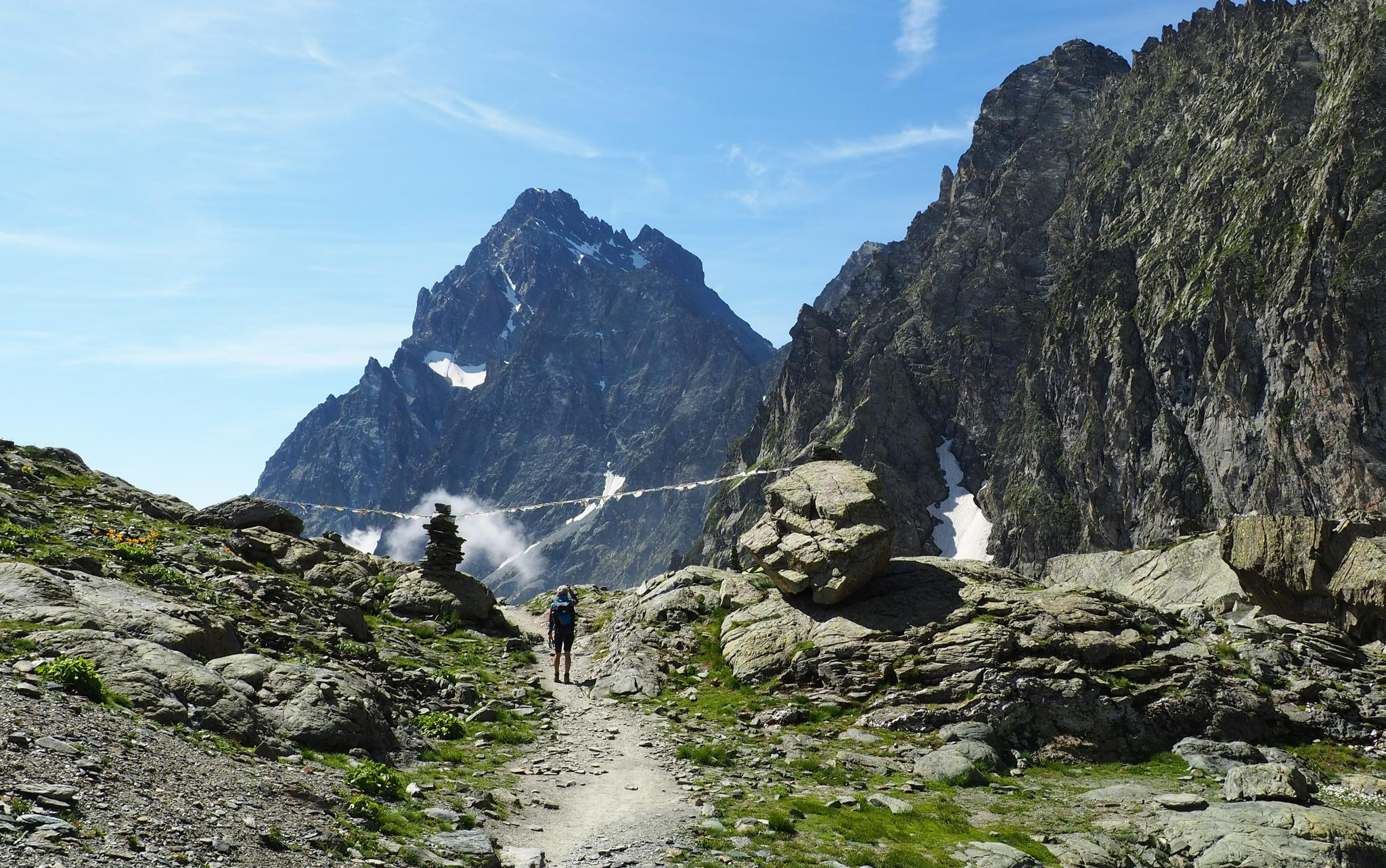
On the trails of the Stone King – trekking among the huts of Monviso
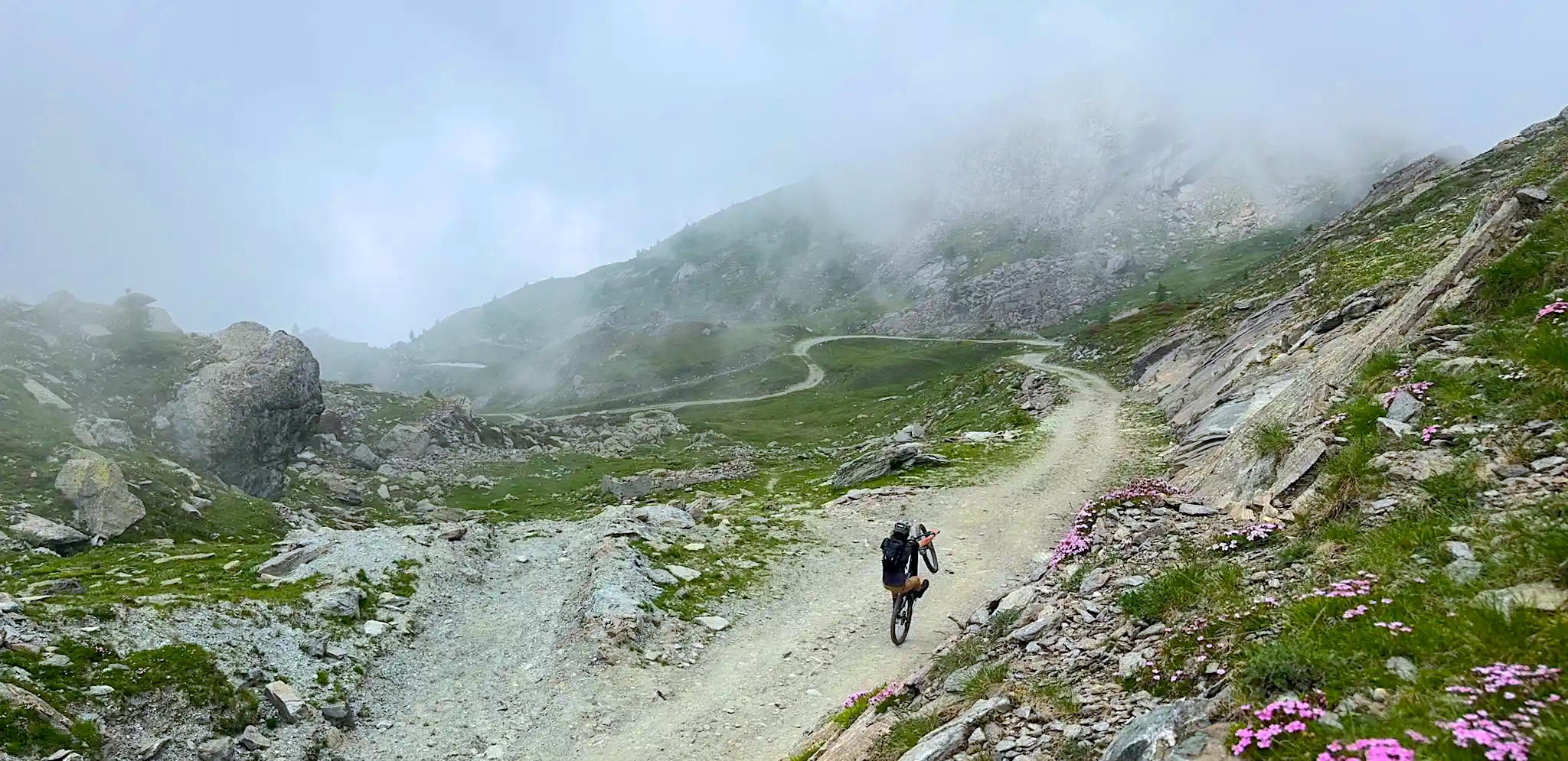
MTB between refuges, quarries and valleys in the Pinerolo region
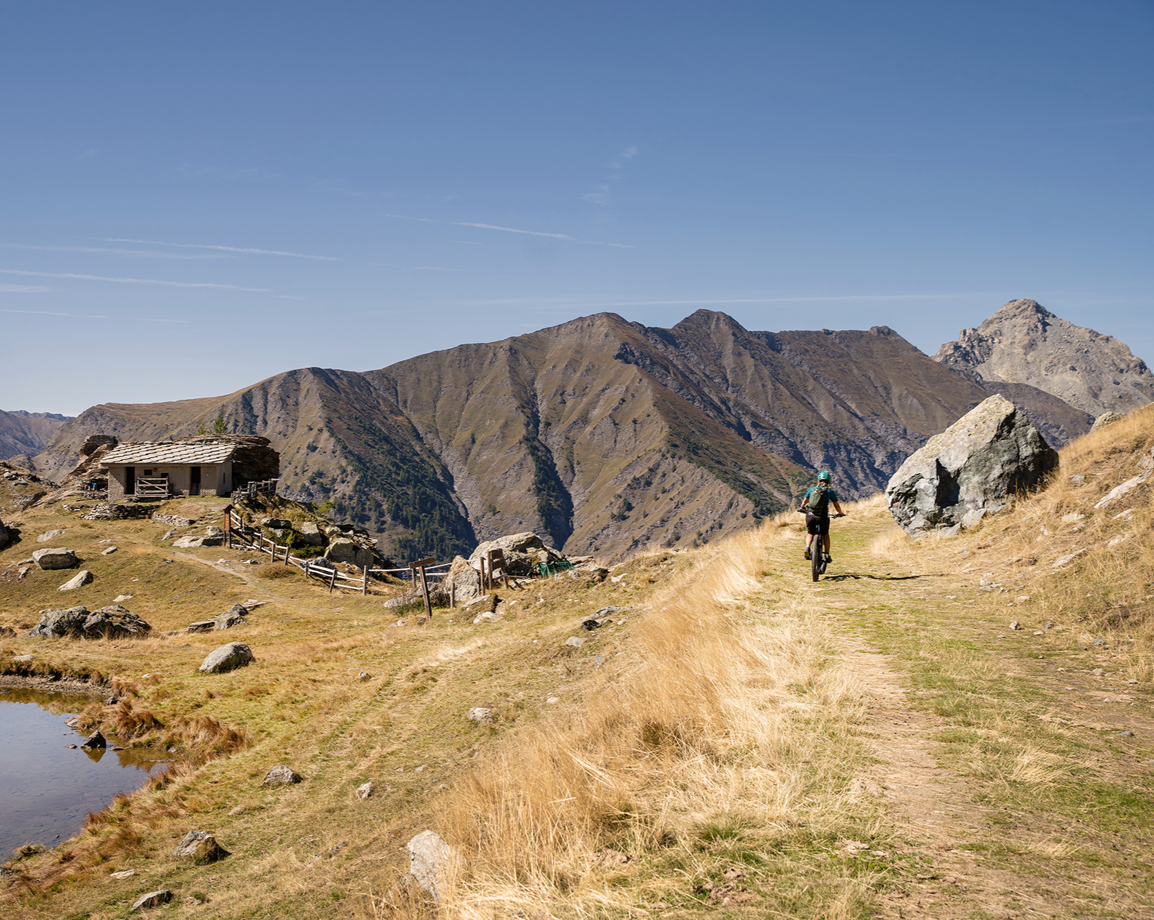
Pinerolese Terra di Bici – Upslowtour MTB loops
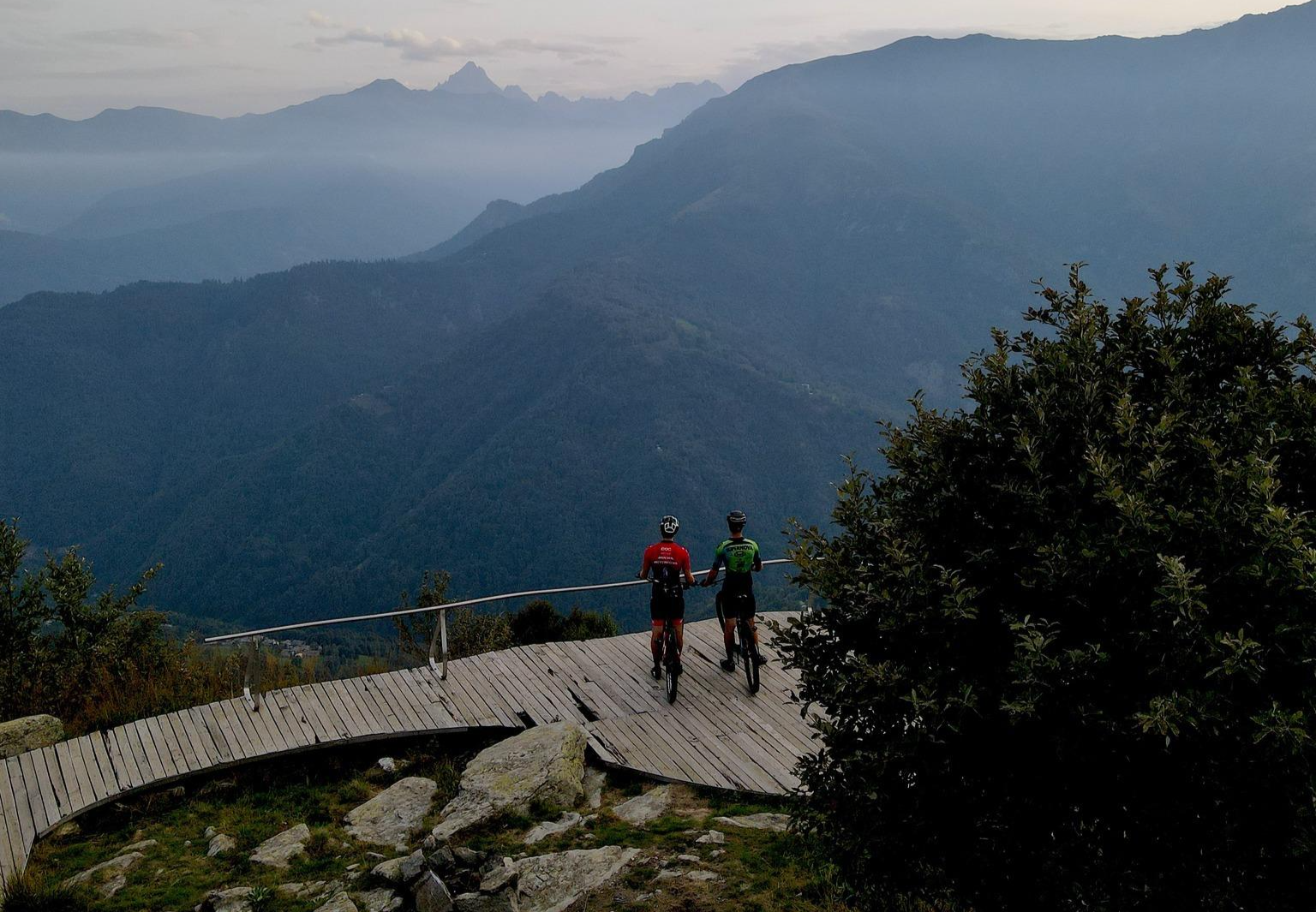
The great climbs of the Pinerolese – Pinerolese Land of Bikes
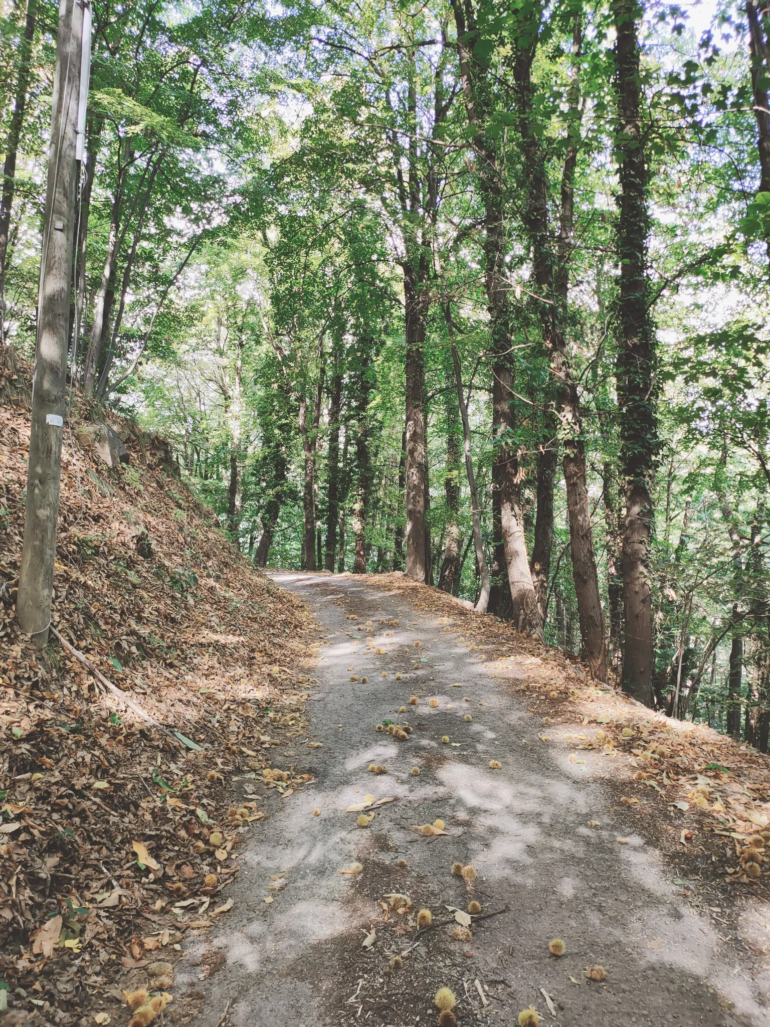
On the roads of the Waldensians and Huguenots – path of the prisoners
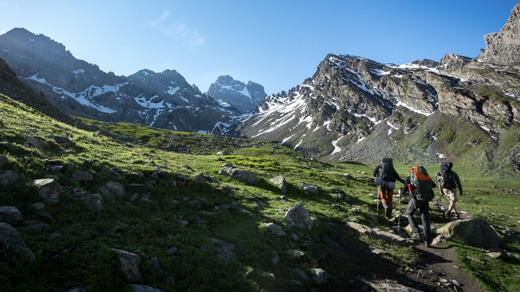
At the foot of the Stone King — hiking around Italy's Mount Viso
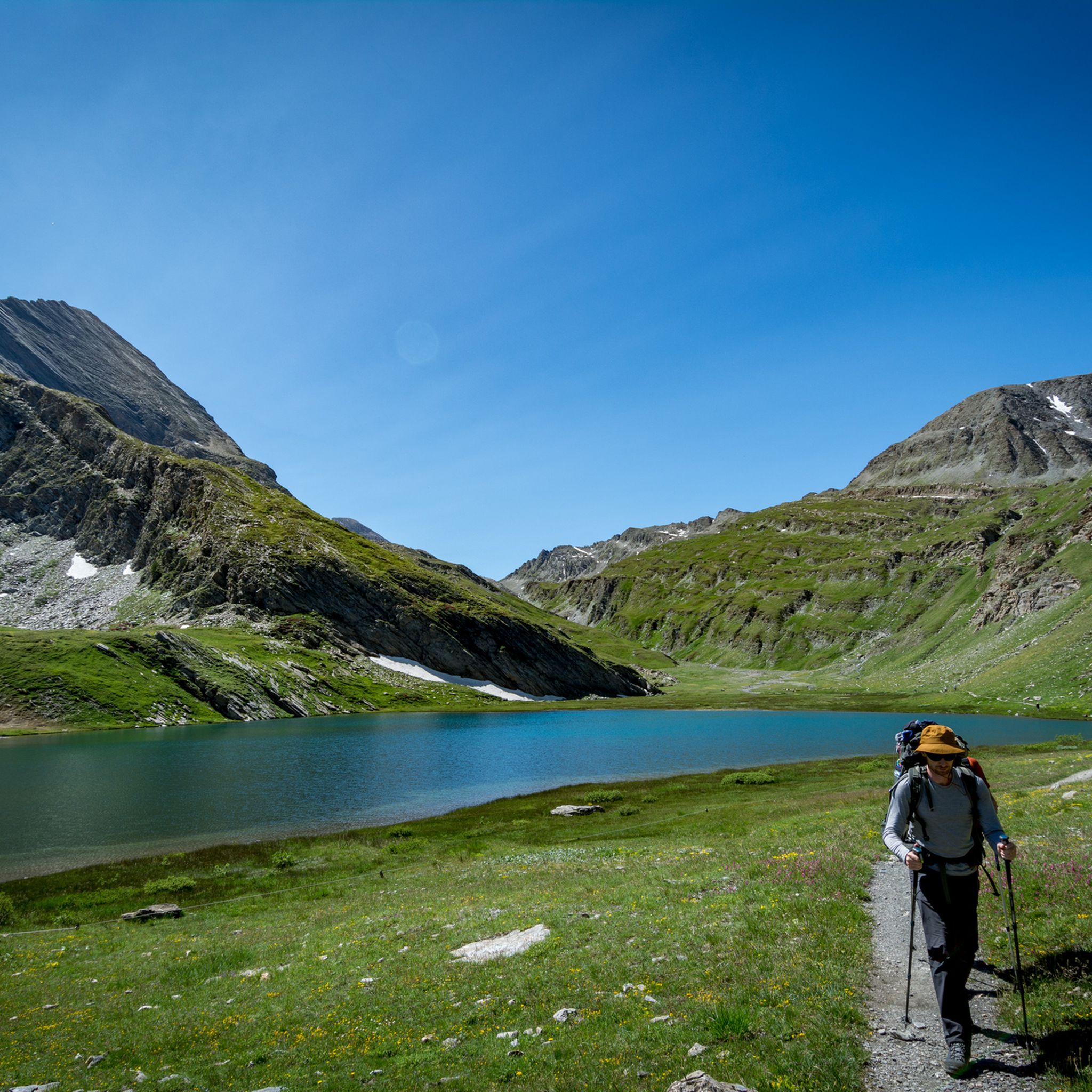
Hiking around Bobbio Pellice
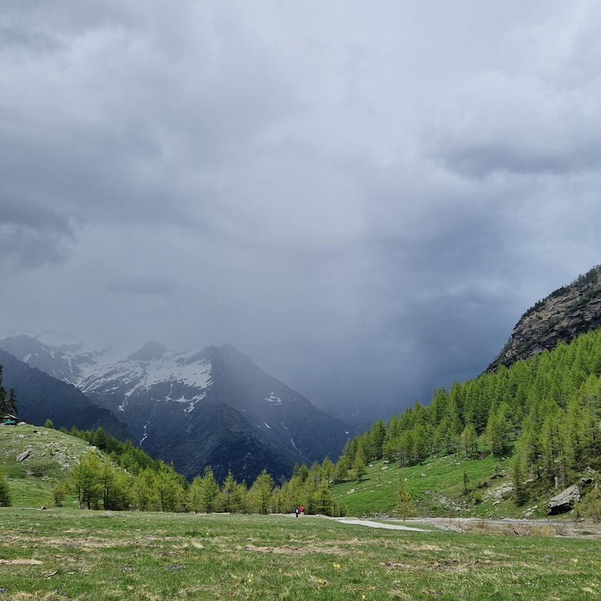
MTB Trails around Bobbio Pellice
Other adventures around Bobbio Pellice


Tips from the Community

https://youtu.be/JFu9Uf70ECw?si=5jd76ATJkKHsYo-D Pushing up a manageable, sustainable steep section from the lake. Then it's like a high plateau, and from here you can roll down towards the Ubaye Valley via Longet without much difficulty. I initially planned to reach the Ubaye Valley via the Noir, but it was so steep to push that I quickly switched to the Blanchet/Longet route. The two passes start more or less 100 meters from the lake. I can't imagine that going down to the lake would be any fun on the Noir either.
0
0

The altitude of Col Blanchet needs to be corrected, it is 2897 metres
0
0

To shorten the hike, it's best to take the chairlift to the Helios refuge, saving almost two hours of dirt road that passes by the Savigliano refuge. There aren't any major difficulties, except for the very last few meters where it climbs very steeply.
2
0

Located at Colle della Vaccera, reachable from multiple sides and by any means
1
0

Located a few kilometers from Bobbio Pellice in the Pis della Rossa area, in the Carbonieri valley, the refuge is located in a splendid place where you can spend one or more days with family or friends surrounded by nature.
0
0

The Barbara Lowrie refuge is located in Pis della Rossa, in the Carbonieri valley of Bobbio Pellice. It was built in 1928 by a Canadian couple, Walter and Barbara Lowrie, who used it as a hunting lodge. Later, they sold it to the CAI UGET who turned it into a refuge, inaugurating it in 1931. It has a capacity of 24 beds and is open every day from May to October with bar service, restaurant and overnight stay. For more information, visit the refuge website: https://www.rifugiobarbara.it.
1
0

Tough climb alternating stretches in the woods and stretches on asphalt, but the view once you reach the hill is worth the effort.
1
0

Very tough climb, from Pontechianale to the Helios refuge, pedalable with overturning slopes, from the refuge to the summit all portage and push. But the descent is one of the most beautiful I've ever done
1
1
Frequently Asked Questions
What are some of the most rewarding mountain peaks to visit near Bobbio Pellice?
For breathtaking vistas, consider Colle Vaccera, known for its excellent views of the surrounding peaks. The Pain de Sucre Summit offers unparalleled 360-degree panoramic views of the French, Swiss, and Italian Alps, including Mont Viso and Mont Blanc. Another exceptional viewpoint is Punta Tre Chiosis, providing a splendid 360-degree landscape, particularly for Monviso.
Are there any challenging mountain peaks for experienced climbers around Bobbio Pellice?
Yes, several peaks offer a significant challenge. The Pain de Sucre Summit is described as a challenging climb with a rewarding 360-degree alpine spectacle. Bric Bouchet (or Bric Bucie) is considered one of the most coveted summits in Val Pellice due to its challenging ascent. Punta Tre Chiosis also features a steep final 100 meters of ascent.
What are some good starting points for high-altitude excursions in the region?
Pian del Re Hut is a crucial starting point for numerous excursions into the Monviso group. From here, hikers can embark on routes towards several refuges, including Rifugio Quintino Sella, Rifugio Giacoletti, and Rifugio Viso, making it a gateway to higher alpine adventures.
Are there family-friendly mountain areas or viewpoints near Bobbio Pellice?
Colle Vaccera is noted as family-friendly, offering excellent views and facilities. While many peaks involve challenging climbs, areas like Pian del Re offer more accessible high-altitude experiences, with shorter, intense paths to scenic spots like alpine lakes.
What kind of natural features can I expect to see on mountain trails around Bobbio Pellice?
The region boasts diverse natural beauty. You can find high-altitude plains like Pian del Re, which is home to a rich peat bog and rare amphibians. Trails often lead to stunning alpine lakes, such as the one near Pian del Re Hut, and offer views of majestic rivers and meadows. The Peyronel Botanical Garden at Colle Barant adds a unique ecological interest.
What outdoor activities can I do near these mountain peaks?
The area around Bobbio Pellice is excellent for various outdoor activities. You can find numerous running trails, including routes like the 'Colle del Baracun – Rifugio Jervis loop' or shorter 'Running loop from Bobbio Pellice'. For mountain biking, there are challenging routes such as the 'Giro dei tre rifugi in Val Pellice' or trails leading to the Pis Waterfall. Gravel biking is also popular, with routes like 'The Grand Viso Viewpoint – LaRocheEcroulée loop'. You can explore more options on the Running Trails around Bobbio Pellice, MTB Trails around Bobbio Pellice, and Gravel biking around Bobbio Pellice guide pages.
Are there any mountain passes that offer great views or serve as important connections?
Colle Vaccera is a magnificent pass connecting Val Pellice to Val Chisone, offering excellent views. Colle Barant (2,373 m) is another panoramic pass, home to the Rifugio Barant and the Peyronel Botanical Garden, with stunning views of the Conca del Pra, Boucie, and Palavas valleys. Col Blanchet (2997 m) marks the highest point of the Stone King Rally and offers a descent path towards Lake Bleu.
What is the best time of year to hike the mountain peaks around Bobbio Pellice?
The best time to hike generally depends on the specific peak and its altitude. For most high-altitude trails and peaks, late spring through early autumn (June to September) offers the most favorable weather conditions, with less snow and more stable temperatures. However, conditions can change rapidly in the mountains, so always check local weather forecasts before heading out.
Are there any huts or refuges available for mountaineers in the area?
Yes, the region is well-equipped with huts and refuges. The Pian del Re Hut, originally built in 1874, offers 30 beds, a bar, and restaurant service, and is open from early June to late September. Rifugio Barant is located at Colle Barant. From Pian del Re, hikers can also access Rifugio Quintino Sella, Rifugio Giacoletti, and Rifugio Viso, providing essential accommodation for multi-day treks.
What do visitors enjoy most about the mountain peaks around Bobbio Pellice?
Visitors consistently praise the extraordinary panoramic views, especially from summits like Pain de Sucre Summit and Punta Tre Chiosis, where the Alps stretch as far as the eye can see and Monviso appears incredibly close. The challenging yet rewarding nature of the ascents, the diverse landscapes, and the rich biodiversity, such as the botanical garden at Colle Barant, are also highly appreciated.
Are there any unique ecological sites to visit in the mountain areas?
Yes, the region features notable ecological sites. Pian del Re, while not a peak itself, is a high-altitude plain within the Monviso Park known for its significant ecological interest, including a rich peat bog and rare amphibians. Additionally, the Peyronel Botanical Garden is located at Colle Barant, offering a unique opportunity to explore local flora.
Most popular routes around Bobbio Pellice
Most popular attractions around Bobbio Pellice

Get inspired with the komoot mobile app


Explore more
See even more amazing summits around Bobbio Pellice with these guides:
