The best walks and hikes around Talla
4.5
(651)
2,414
hikers
17
hikes
Hiking trails around Talla explore the diverse landscape of the Casentino region in Tuscany, characterized by forested hills, river valleys, and elevated viewpoints. The area features a mix of challenging ascents and gentler paths through rural settings. Hikers can expect varied terrain, from well-maintained tracks to more rugged trails, often leading to panoramic vistas of the surrounding countryside.
Best hiking trails around Talla
- The most popular hiking route is Pratomagno Summit Cross – Sword in the Rock loop from Anciolina…
Last updated: July 9, 2026
4.9
(53)
216
hikers
17.6km
05:21
580m
580m
Hard hike. Very good fitness required. Easily-accessible paths. Suitable for all skill levels.
5.0
(5)
29
hikers
11.3km
03:31
390m
390m
Moderate hike. Good fitness required. Mostly accessible paths. Sure-footedness required.

Sign up for free
5.0
(8)
41
hikers
5.23km
01:36
170m
170m
Easy hike. Great for any fitness level. Easily-accessible paths. Suitable for all skill levels.
5.0
(4)
11
hikers
13.1km
04:02
470m
470m
Moderate hike. Good fitness required. Easily-accessible paths. Suitable for all skill levels.
4.7
(3)
17
hikers
5.45km
01:39
190m
190m
Easy hike. Great for any fitness level. Easily-accessible paths. Suitable for all skill levels.
Get access to more routes and recommendations from other explorers.
Sign up for free
Already have an account?
Our route recommendations are based on thousands of hikes, rides, and runs completed by other people on komoot.
Start today with a free account
Your next adventure awaits.
Login or Signup

Tips from the Community

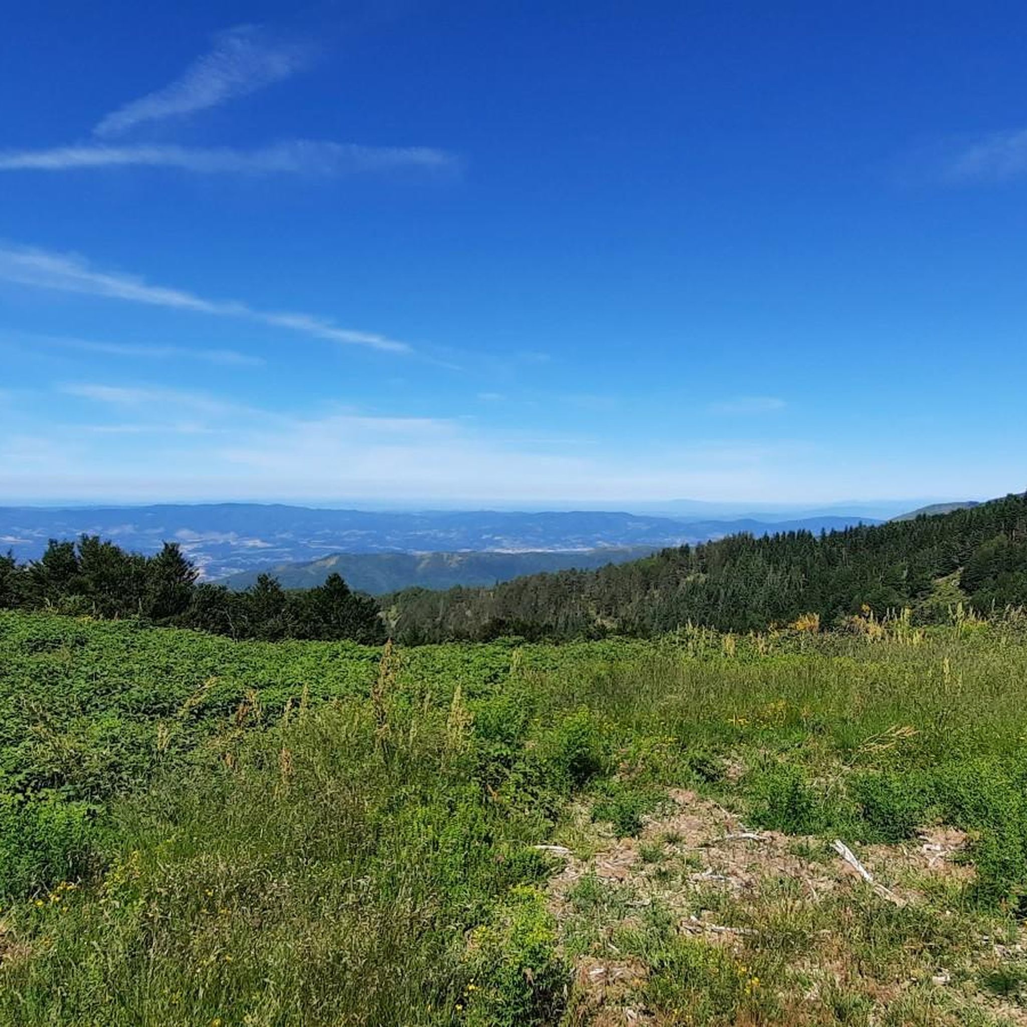
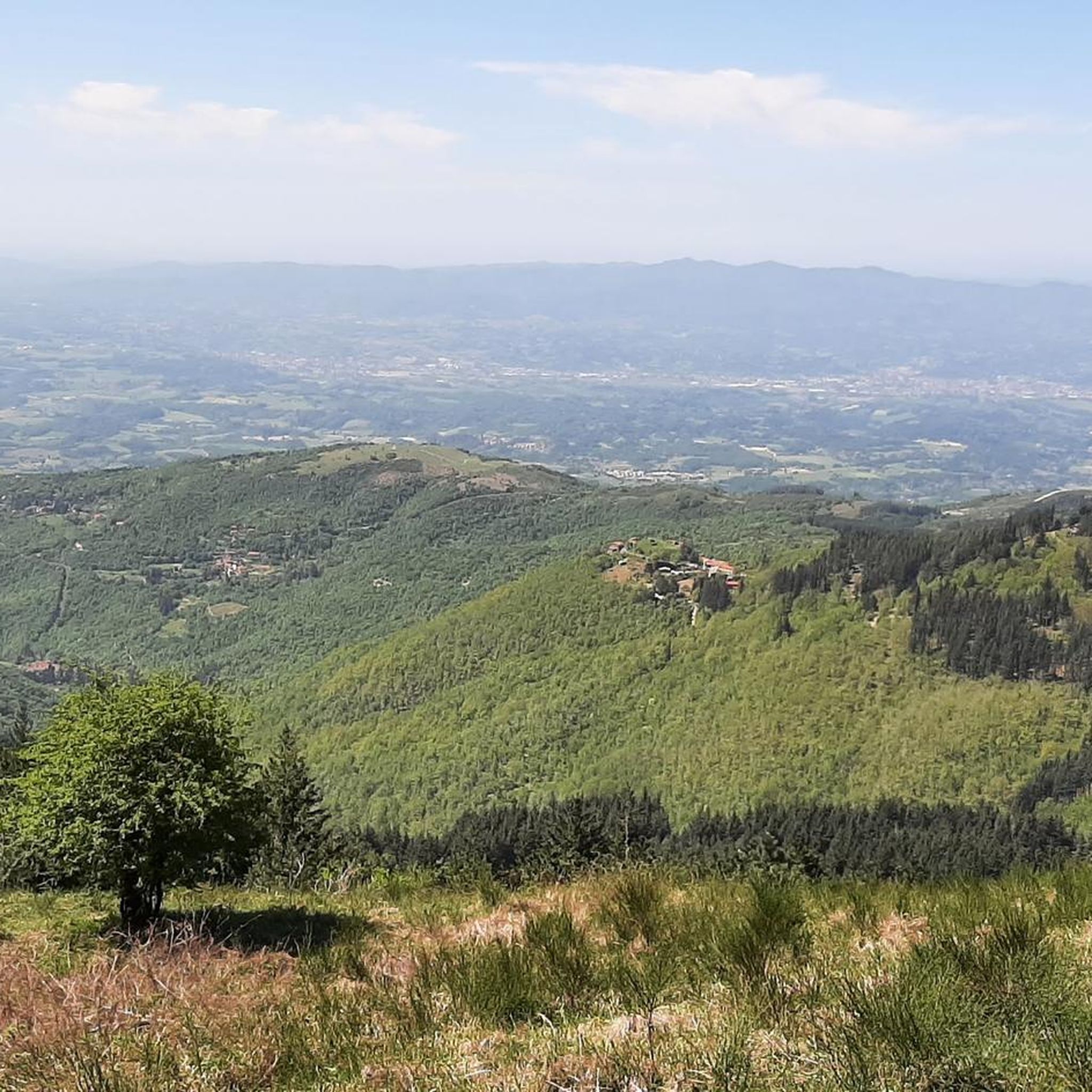
Here you can walk along this easy trail, immersing yourself in nature and enjoying the splendid, breathtaking views.
1
0

Casale is a charming corner of the countryside, perfect for relaxing on the grass and soaking up the sun. It's part of the Fattoria La Vialla, a vibrant local business known for its local produce and the many events that bring the estate to life.
1
0

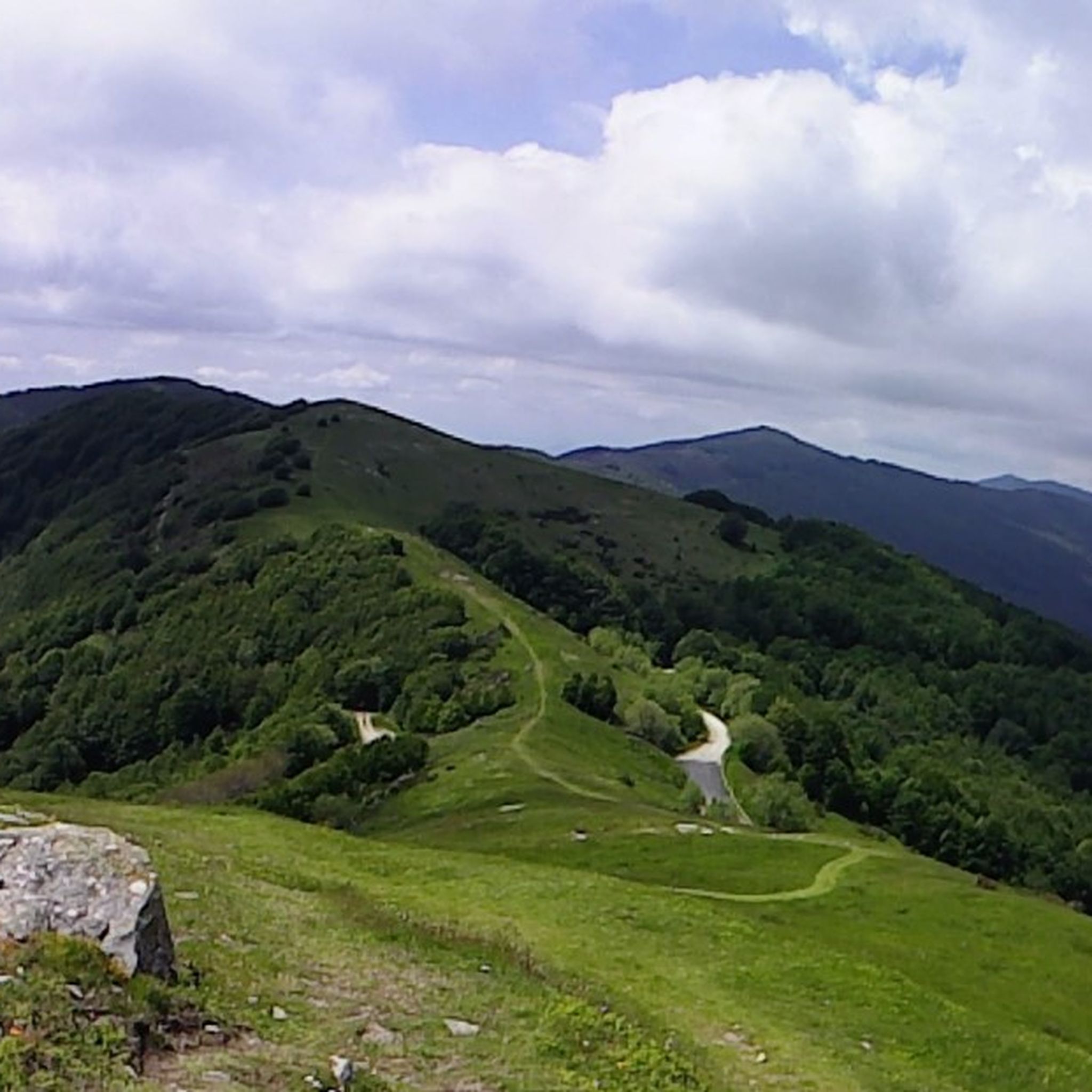
Along the Pratomagno ridge, between Monte Lori and Croce, a sword embedded in the rock adds a touch of legend to the route. This symbol invites you to pause and admire the endless panorama, capturing the timeless essence of the vast high-altitude meadows.
0
0
Situated at 1,592 meters above sea level, this imposing iron cross dominates the Pratomagno massif, offering spectacular 360° views spanning the Casentino, Valdarno, and the entire Tuscan Apennines. It's the iconic finish line of every climb, reached by traveling the spectacular panoramic roads that run along the mountain's ridge.
0
0

Alas... to reach the Pratomagno cross, you have to earn it. The more effort, the more satisfaction... at least for me.
0
0

With the possibility to have a little something to eat and drink.
0
0

Everything is organic and Demeter certified. Great olive oil, great wine, great rustic food. Great holiday homes.
0
0

Frequently Asked Questions
How many hiking trails are available around Talla?
There are over 20 hiking trails around Talla, offering a diverse range of experiences. These routes explore the forested hills, river valleys, and elevated viewpoints of the Casentino region.
Are there easy hiking trails suitable for beginners or families in Talla?
Yes, Talla offers several easy trails. For instance, the Scenic trail – Pratomagno Cross loop from Anciolina is an accessible 4.0-mile (6.4 km) path, perfect for a relaxed forest walk with glimpses of the Pratomagno area. Overall, 7 of the routes are rated as easy.
What kind of challenging hikes can I find in the Talla area?
For those seeking a challenge, Talla features routes with significant elevation gain. The Pratomagno Summit Cross – Sword in the Rock loop from Anciolina is a demanding 10.9-mile (17.6 km) trail that takes over 5 hours to complete, offering expansive views from the Pratomagno ridge. There are 3 difficult routes in the area.
Are there any circular hiking routes around Talla?
Many of the trails around Talla are designed as loops, allowing you to start and end at the same point. The Hiking loop from Fonte allo Squarto is a popular 6.9-mile (11.2 km) option that winds through varied woodland and open areas.
What can I see or explore along the hiking trails in Talla?
Beyond the natural beauty, you can discover historical sites and charming villages. Highlights include the impressive Castle of the Guidi Counts in Poppi, the scenic Quota di Poppi Village, and the historic Valenzano Castle. Many trails also offer stunning views of the Casentino from various viewpoints.
Are there any places to eat or find refreshments near the hiking trails?
Yes, you can find places to refuel. For example, the Da Giocondo Restaurant is a notable spot, and there are several huts and refuges like Casetta di Bùite and Rifugio del Pianaccio that might offer refreshments, especially in the higher areas.
What do other hikers enjoy most about hiking in Talla?
The komoot community highly rates the hiking experience in Talla, with an average score of 4.5 stars from over 600 reviews. Hikers often praise the diverse terrain, from quiet woodlands to panoramic viewpoints, and the well-maintained nature of many trails.
Is Talla a good destination for dog-friendly hiking?
The natural environment of Talla, with its extensive network of trails through forests and open areas, is generally welcoming for dogs. However, always ensure your dog is on a leash where required and be mindful of local wildlife and other hikers.
What is the best time of year to go hiking in Talla?
The best time to hike in Talla is typically during the spring and autumn months when the weather is mild and the landscapes are vibrant with wildflowers or autumn colors. Summer can be pleasant, especially in higher elevations, but it can also be quite warm. Winter hiking is possible, but some higher trails might be affected by snow or ice.
Are there moderate difficulty hikes available in Talla?
Yes, Talla offers a good selection of moderate hikes. For example, the Hiking loop from Anciolina is a 7.3-mile (11.7 km) trail with moderate elevation changes, providing a balanced challenge. There are 10 routes categorized as moderate in the area.
Where can I find parking for the Talla hiking trails?
Parking is generally available near trailheads, especially in and around villages like Anciolina and Fonte allo Squarto, which serve as common starting points for many routes. It's advisable to check specific route descriptions for detailed parking information.
Are there any hidden gems or less-known trails in the Talla valley?
While specific 'hidden gems' are often discovered by local exploration, the Talla valley itself is part of the less-traveled Casentino region, offering a sense of discovery on many of its trails. Exploring routes that venture deeper into the Pratomagno mountains or along the smaller river valleys can lead to tranquil and less-frequented spots.
Most popular attractions around Talla

Get inspired with the komoot mobile app


Explore more
Browse the best Hikes in other regions.
