The best running trails around Talla
4.5
(63)
921
runners
108
runs
Jogging around Talla offers a diverse landscape for runners, characterized by river valleys, rolling hills, and routes connecting local villages. The region provides a mix of terrain, from flatter paths along waterways to more challenging ascents through forested areas. These running routes allow for exploration of both natural scenery and the local communities.
Best jogging routes around Talla
- The most popular jogging route is Croce del Pratomagno loop from Anciolina, a 9.6 miles (15.5 km) trail that takes about…
Last updated: July 8, 2026
42
runners
15.5km
01:57
550m
550m
Hard run. Very good fitness required. Mostly paved surfaces. Suitable for all skill levels.
39
runners
16.6km
01:56
70m
70m
Hard run. Very good fitness required. Mostly paved surfaces. Suitable for all skill levels.

Sign up for free
5.0
(1)
28
runners
17.3km
02:28
690m
690m
Hard run. Very good fitness required. Mostly paved surfaces. Suitable for all skill levels.
19
runners
12.3km
01:18
130m
130m
Moderate run. Good fitness required. Mostly paved surfaces. Suitable for all skill levels.
17
runners
15.0km
01:34
90m
90m
Moderate run. Good fitness required. Mostly paved surfaces. Suitable for all skill levels.
Get access to more routes and recommendations from other explorers.
Sign up for free
Already have an account?
Our route recommendations are based on thousands of hikes, rides, and runs completed by other people on komoot.
Start today with a free account
Your next adventure awaits.
Login or Signup

Tips from the Community

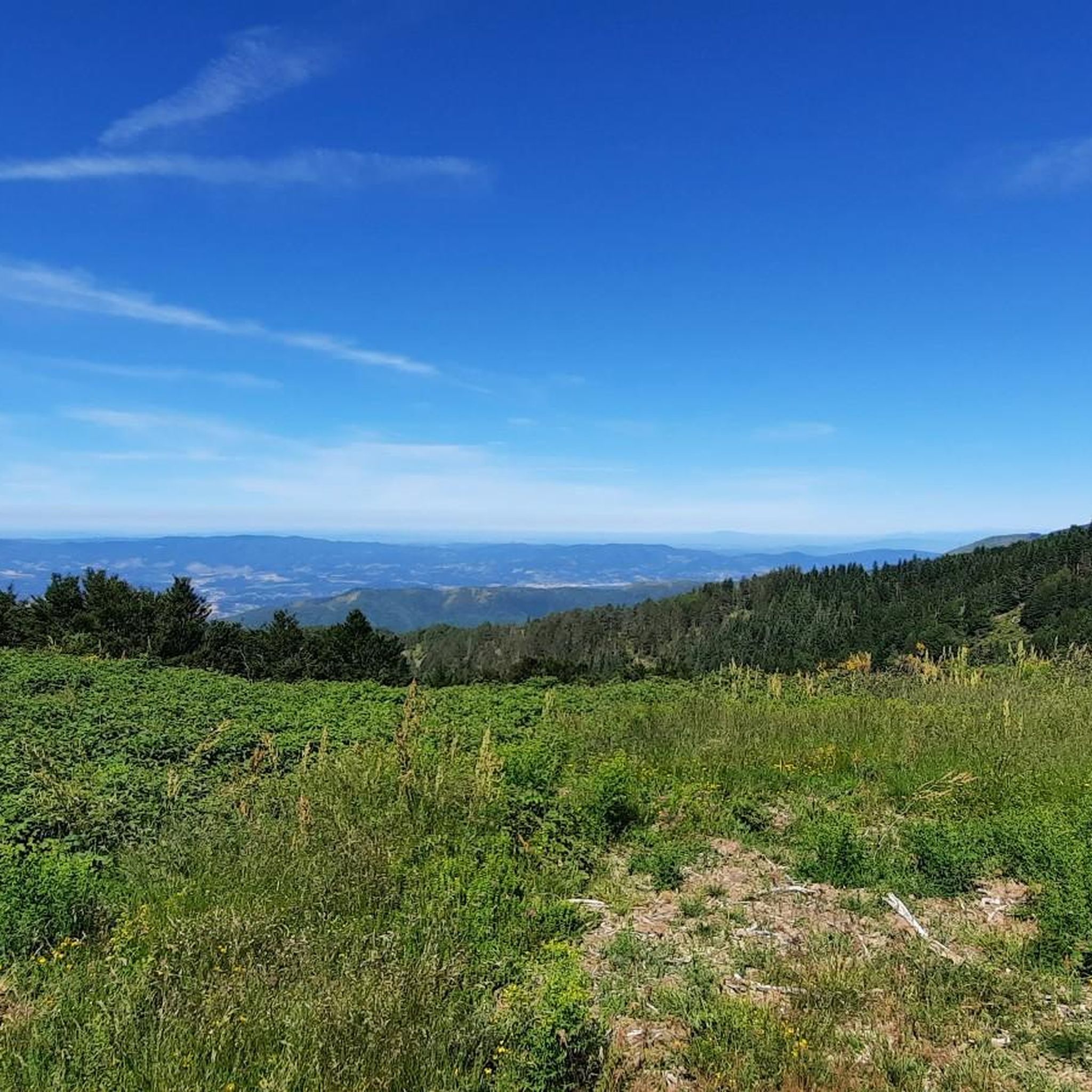
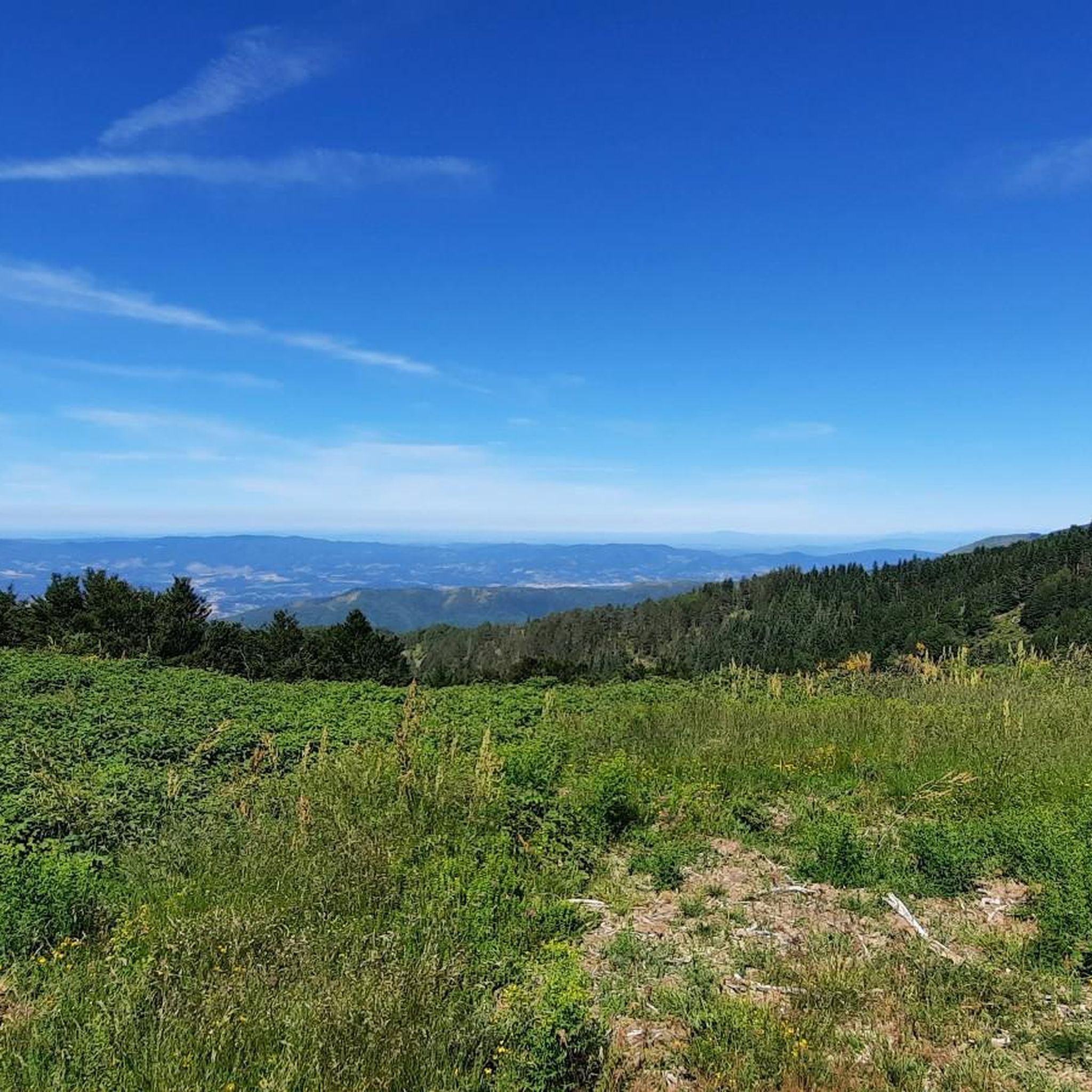
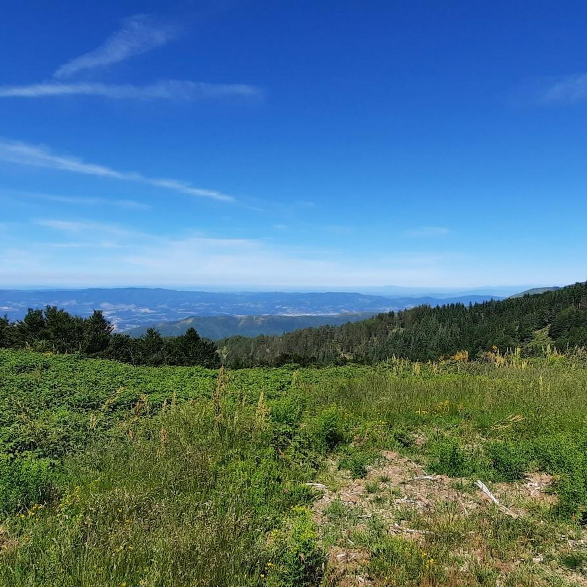
Here you can walk along this easy trail, immersing yourself in nature and enjoying the splendid, breathtaking views.
1
0

Situated at 1,592 meters above sea level, this imposing iron cross dominates the Pratomagno massif, offering spectacular 360° views spanning the Casentino, Valdarno, and the entire Tuscan Apennines. It's the iconic finish line of every climb, reached by traveling the spectacular panoramic roads that run along the mountain's ridge.
0
0

Alas... to reach the Pratomagno cross, you have to earn it. The more effort, the more satisfaction... at least for me.
0
0

The view of the Arno and the village are very suggestive.
0
0

Arno cycle path between Arezzo and Subbiano.
0
0
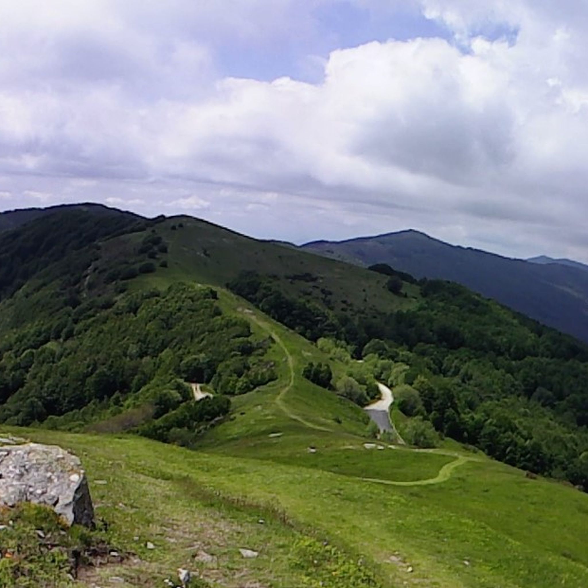
Easy route along the ridge. Be careful though, with some steep and bumpy descents and climbs. Recommended if done after dinner, a light jacket or k-way.
0
0

A cute bridge in the town with a good view of the river. For all selfie pros... A good place for a new profile picture.
0
0

The abbey, also known as Fonte Benedetta, was the first Benedictine monastery in Casentino, founded between 983 and 996 by two German hermits, Pietro and Eriprando, probably on a Roman transit road that connected the Valdarno to Casentino. The monastery had already seen great development in the 11th century and then in the following one, which lasted until the end of the 14th century, which led it to increase its material assets and to have jurisdiction over many churches and castles in Casentino and especially in Valdarno. In 1193 the presence of a hospital owned by the abbey in Pratovalle is attested.[1] In the 15th century the monastery entered a phase of decline and already in 1425 it was entrusted to the Vallombrosan monks who, however, were unable to halt its decline and gradual abandonment. At the end of the 17th century the Abbey was already compromised in several parts. By then abandoned, during the Napoleonic period the Abbey passed to the Marquises Corsi of Florence and, from 1811, to the Cassi family of Capraia, who neglected to maintain the buildings, so that by the early 20th century the Abbey was in ruins. In 1968, restoration of what remained was undertaken, completed in 1974, which restored the architectural remains and made the area accessible again. (Source: https://it.wikipedia.org/wiki/Abbazia_di_Santa_Trinita_in_Alpe )
0
0
Frequently Asked Questions
How many running routes are available in the Talla region?
There are over 90 running routes around Talla, offering a wide variety of terrain and distances for all levels of runners. This includes 2 easy, 54 moderate, and 35 difficult trails.
Are there any easy or beginner-friendly jogging routes in Talla?
Yes, Talla offers a few easier running options. While many routes feature significant elevation, you can find flatter paths, particularly along river valleys. For a moderate option, consider the La Zenna Village loop from Subbiano, which is 12.3 km with less elevation gain.
What are the typical lengths of running trails near Talla?
Running trails in Talla vary significantly in length. You'll find routes ranging from shorter, easier loops to longer, more challenging runs. For example, the Arno Cycle Path loop from Rassina is a longer 22.7 km route, while others like the La Zenna Village loop from Subbiano are around 12.3 km.
Are there any circular jogging routes in Talla?
Yes, many of the running routes in Talla are circular, allowing you to start and finish at the same point. Popular circular options include the challenging Croce del Pratomagno loop from Anciolina and the Running loop from Faltona.
What kind of scenery can I expect on running routes in Talla?
Talla's running routes offer diverse scenery, from river valleys and rolling hills to forested areas and paths connecting local villages. You'll experience a mix of natural landscapes and glimpses into local communities. Many routes provide scenic viewpoints, especially those with higher elevation.
Are there any interesting landmarks or attractions to see along the running routes?
Yes, the Talla area is rich with points of interest. You might encounter historical sites like the Ponte Buriano or enjoy natural beauty at the Valle dell'Inferno and Bandella Nature Reserve. Some routes also pass through charming settlements like Rocca Ricciarda Village.
What do other runners enjoy most about jogging in Talla?
The running routes in Talla are highly rated by the komoot community, with an average score of 4.4 stars from over 50 reviews. Runners often praise the diverse terrain, from challenging ascents to flatter river paths, and the opportunity to explore both natural scenery and local villages.
Are there any running routes in Talla that pass by places to eat or drink?
While specific routes passing directly by pubs aren't explicitly detailed, the region does have options for refreshments. For instance, the La Vialla Farm is a notable restaurant in the area, and there are several huts and restaurants like Da Giocondo Restaurant that might be accessible from various trails.
Is Talla suitable for family-friendly jogging or running with children?
Talla offers a mix of terrain. While some routes are challenging, there are flatter sections along river valleys that could be more suitable for families or those jogging with children. Look for routes with minimal elevation gain for a more relaxed experience.
What is the best time of year for running in Talla?
Talla's diverse landscape makes it suitable for running across multiple seasons. Spring and autumn offer pleasant temperatures and vibrant scenery. Summer can be warm, so early morning or late afternoon runs are advisable. Winter running is possible, but some higher elevation trails might require appropriate gear due to colder conditions.
Are there any running routes with good viewpoints in Talla?
Absolutely. Many routes in Talla, especially those with significant elevation, offer rewarding views. The View of Capolona Castle loop from Subbiano is a moderate option that provides scenic vistas. Additionally, the Pratomagno Summit Cross is a prominent viewpoint accessible from some trails.
What are the options for parking near Talla's running trails?
Parking availability varies by trailhead. Many villages and starting points for routes, such as Anciolina, Rassina, Faltona, and Subbiano, typically offer public parking facilities. It's always recommended to check specific route details for precise parking information before your run.
Most popular attractions around Talla

Get inspired with the komoot mobile app


Explore more
Browse the best Running Trails & Routes in other regions.
