The best walks and hikes around Latera
4.6
(591)
2,485
hikers
65
hikes
Hiking around Latera offers a diverse landscape characterized by rolling hills, ancient trails, and views of volcanic lakes. The region features a mix of forested paths, open countryside, and historical routes. Elevation changes are generally moderate, providing accessible options for various fitness levels.
Best hiking trails around Latera
- The most popular hiking route is Trail of the Brigands Stage 6, a 6.2 miles (10.0 km) trail that takes 2 hours 44 minutes to complete. This moderate route follows a historic path through varied terrain.
- Another top favourite among local hikers is Via Cava di San Rocco – Sorano loop from Cerreto, a moderate 9.0 miles (14.5 km) path. This trail features ancient Etruscan sunken roads and scenic views.
- Local hikers also love the Descent to the Valley of the Lente – Vitozza loop from San Quirico, a 2.6 miles (4.1 km) trail leading through the Lente Valley, often completed in about 1 hour 8 minutes.
- Hiking around Latera is defined by historical paths, valley descents, and views of the surrounding countryside. The network offers options for different ability levels, from easy strolls to more challenging ascents.
- The routes in Latera are highly rated by the komoot community with an average score of 4.6 stars from over 400 reviews. More than 1,800 hikers have used komoot to explore Latera's varied terrain.
Last updated: October 24, 2026
4.2
(6)
17
hikers
9.96km
02:44
160m
150m
Embark on the Trail of the Brigands Stage 6, a moderate hiking route that guides you through the unspoiled nature of upper Tuscia, near Latera. You will follow dirt roads, offering peaceful views and a sense of immersion in the landscape. This hike covers 6.2 miles (10.0 km) with a manageable 510 feet (155 metres) of elevation gain. Expect to complete the journey in about 2 hours and 43 minutes, enjoying the serene atmosphere. As you go, you might catch glimpses of the Monte Rufeno nature reserve, adding to the scenic beauty of the area.
Planning your visit to the Trail of the Brigands Stage 6 is straightforward. The trailhead is easily accessible, and you will find convenient parking available right near the start in Latera. There are no special permits required for this route, nor are there any reported issues with snow conditions or road closures. This makes it a flexible option for a day out, allowing you to focus on enjoying the hike without complex preparations. You can start your adventure whenever suits you best, as the trail is generally open year-round.
This particular stage of the Trail of the Brigands offers more than just natural beauty; it also provides historical insights into the region's past. You will explore the beautiful SIC Caldera di Latera, a significant natural area. Additionally, you can visit the Church of San Clemente in Latera, a notable religious building that stands along the route. This combination of nature and history makes the trail a distinctive experience in the region.
4.7
(22)
114
hikers
4.25km
01:09
60m
60m
Easy hike. Easily walkable paths.

4.8
(20)
64
hikers
19.5km
05:24
340m
340m
Hard hike. Very good fitness required. Easily walkable paths.
4.7
(6)
14
hikers
7.66km
02:08
140m
140m
Moderate hike. Good fitness required. Easily walkable paths.
4.9
(8)
25
hikers
13.7km
03:28
20m
20m
Moderate hike. Good fitness required. Easily walkable paths.
Get access to more routes and recommendations from other explorers.
Already have an account?
Our route recommendations are based on thousands of hikes, rides, and runs completed by other people on komoot.
Start today with a free account
Your next adventure awaits.

Tips from the Community

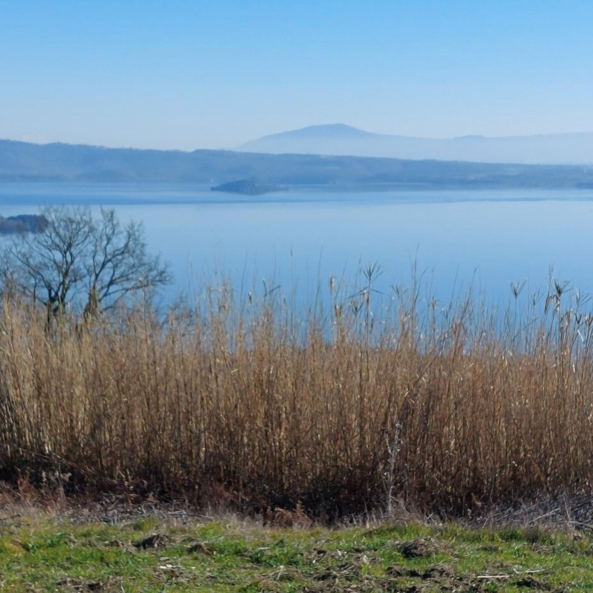
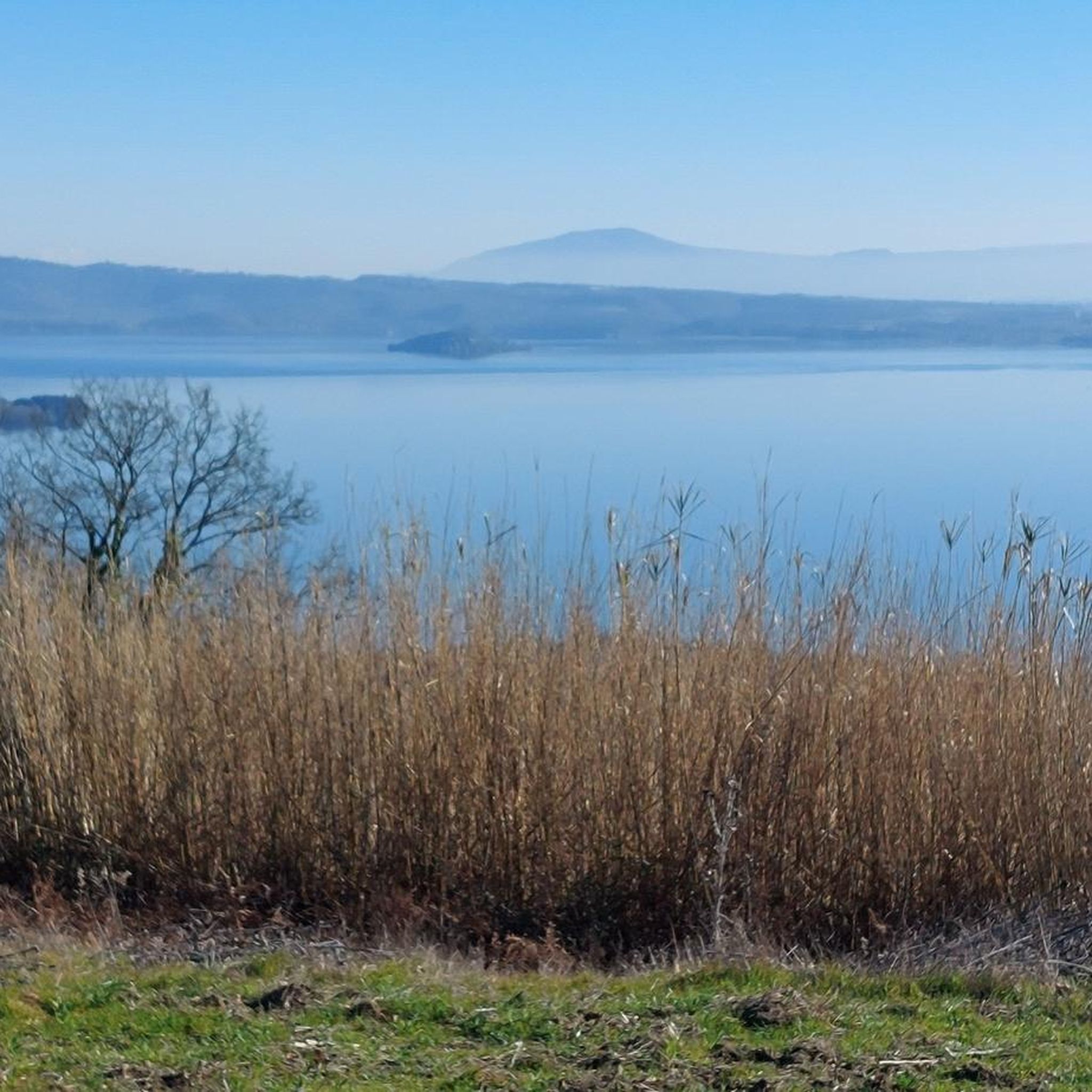
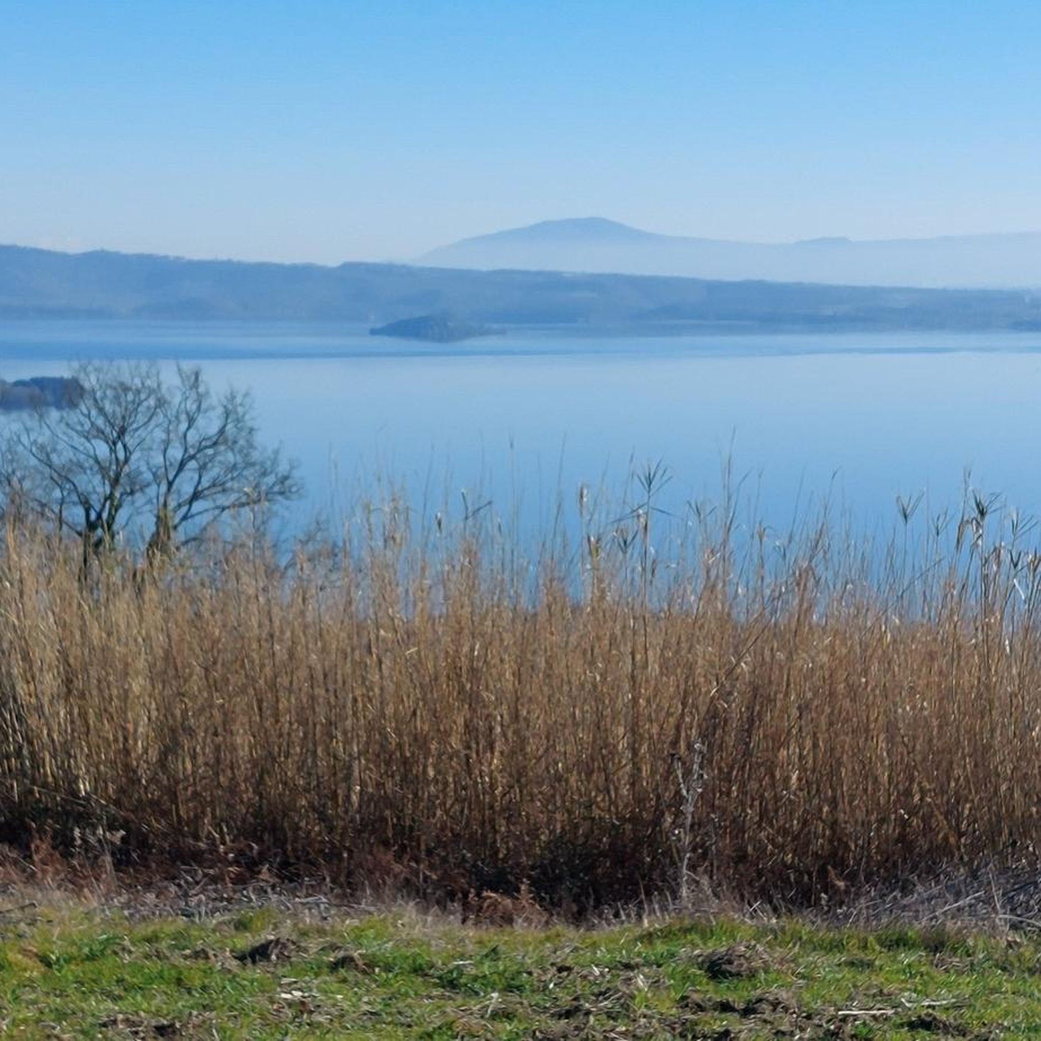
Lake Bolsena, located in northern Lazio in the province of Viterbo, is the largest volcanic lake in Europe and the fifth largest in Italy by surface area. Formed over 300,000 years ago, it is famous for its exceptionally clear, swimmable waters, its medieval villages rich in history, and its two picturesque islands, Bisentina and Martana.
0
0

Fortification at the bottom of the tuff spur, located to the Northwest.
0
0

Hiking during rainy days can be very slippery. It’s best to avoid walking above the caves, as there are several holes in the area.
0
0
Hiking during rainy days can be very slippery. It’s best to avoid walking above the caves, as there are several holes in the area.
0
0
Hiking during rainy days can be very slippery. It’s best to avoid walking above the caves, as there are several holes in the area.
0
0

Sorano is a small medieval town built on tuff rocks in the province of Grosseto/Tuscany.
1
0
A characteristic fortress that dominates the city from the opposite side of the Orsini Fortress.
1
0
Porta di Sopra - this is where you enter the historic center of the city. Porta dei Meril - located at the foot of Masso Leopoldino.
1
0
Frequently Asked Questions
What types of hiking trails can I find around Latera?
Latera offers a diverse landscape with trails ranging from easy strolls to more challenging ascents. You'll find paths through rolling hills, ancient routes, forested areas, and open countryside, often with views of volcanic lakes. There are 44 routes available, with 20 easy, 19 moderate, and 5 difficult options.
Are there any family-friendly hiking options in Latera?
Yes, Latera has several easy trails suitable for families. A good option is the Descent to the Valley of the Lente – Vitozza loop from San Quirico, which is 2.6 miles (4.1 km) long and takes about 1 hour 8 minutes. This route leads through the scenic Lente Valley.
Can I bring my dog on the hiking trails in Latera?
Many trails in the Latera region are suitable for dogs, especially those through natural landscapes and forests. It's always recommended to keep dogs on a leash, particularly near livestock or in protected areas. Check individual route descriptions on komoot for specific restrictions or recommendations.
What is the best time of year to go hiking around Latera?
The spring (April-June) and autumn (September-October) months generally offer the most pleasant hiking conditions in Latera, with mild temperatures and beautiful scenery. Summer can be hot, so early morning or late afternoon hikes are advisable. Winter hiking is possible, but some trails might be muddy or require appropriate gear.
Are there any circular walks available in Latera?
Yes, Latera features several circular routes. For example, the Via Cava di San Rocco – Sorano loop from Cerreto is a moderate 9.0 miles (14.5 km) path that includes ancient Etruscan sunken roads. Another option is the View of Isola Martana – Rocca Farnese of Capodimonte loop from Capodimonte, an easy 3.1 miles (5.1 km) trail.
What historical sites or natural attractions can I see along the trails?
The Latera region is rich in history and natural beauty. You can explore ancient Etruscan sunken roads like the Via Cava di San Rocco or the Via Cava Madonna delle Grazie. Nearby attractions also include the historic town of Sorano, the Rocca Farnese of Capodimonte, and the fascinating Caves and Ancient City of Vitozza.
Are there any trails that offer views of Lake Bolsena?
Yes, some trails in the Latera area provide scenic views of Lake Bolsena, one of Europe's largest volcanic lakes. The View of Isola Martana – Rocca Farnese of Capodimonte loop from Capodimonte, for instance, offers glimpses of the lake and its islands.
What is the typical duration of hikes in Latera?
Hikes in Latera vary in duration. Easy trails, like the Descent to the Valley of the Lente – Vitozza loop from San Quirico, can be completed in just over an hour. Moderate routes, such as the Trail of the Brigands Stage 6, typically take around 2 hours 45 minutes. Longer, more difficult routes can extend to 5 hours or more.
Are there any challenging or difficult hikes in the Latera region?
Yes, for experienced hikers seeking a challenge, there are difficult routes available. One such trail is the La Chiesaccia Ruins – Two-Level Cave loop from Povicione nuovo, which is 12.2 miles (19.6 km) long and involves significant elevation changes, typically taking over 5 hours to complete.
What do other hikers say about the trails in Latera?
The trails in Latera are highly regarded by the komoot community, with an average rating of 4.6 stars from over 400 reviews. Hikers often praise the region's diverse scenery, the historical elements found along the paths, and the well-maintained routes that cater to various fitness levels.
Are there opportunities for wild swimming near Latera hikes?
While Latera itself is inland, its proximity to volcanic lakes like Lake Bolsena and Lago di Mezzano offers potential for wild swimming. Some hiking routes may lead close to these lakes, providing opportunities for a refreshing dip. Always check local regulations and safety guidelines before swimming in natural bodies of water.
Most popular attractions around Latera

Get inspired with the komoot mobile app


Explore more
Browse the best Hikes in other regions.
