The best walks and hikes around Cinigiano
4.5
(596)
2,126
hikers
114
hikes
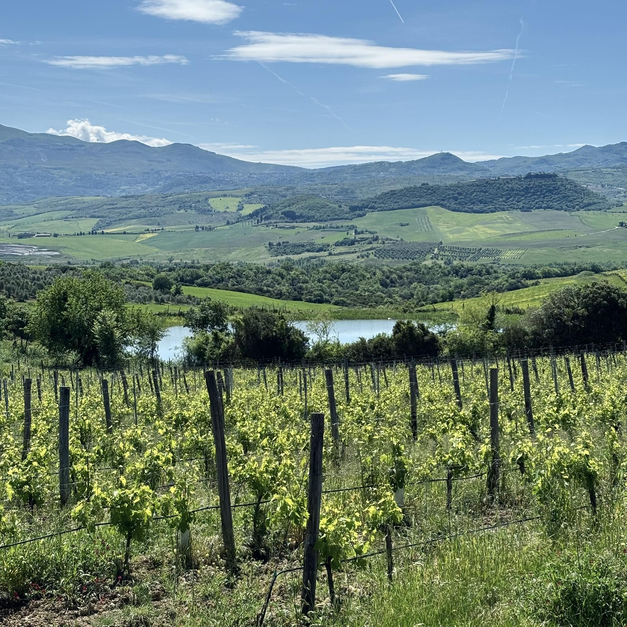
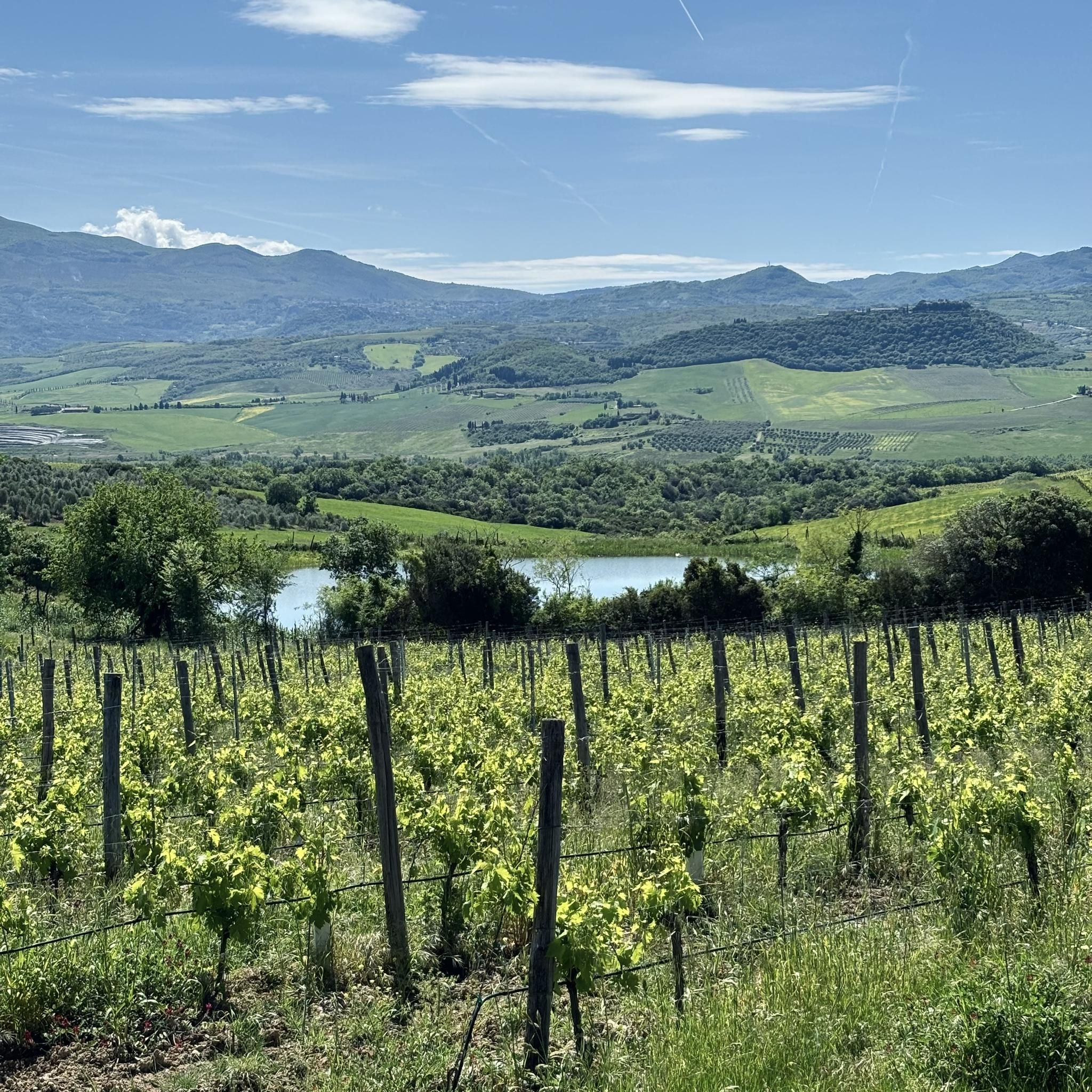
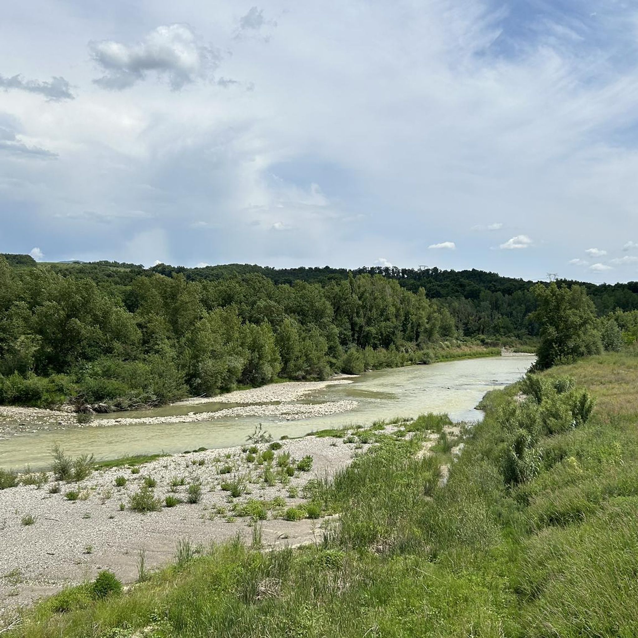
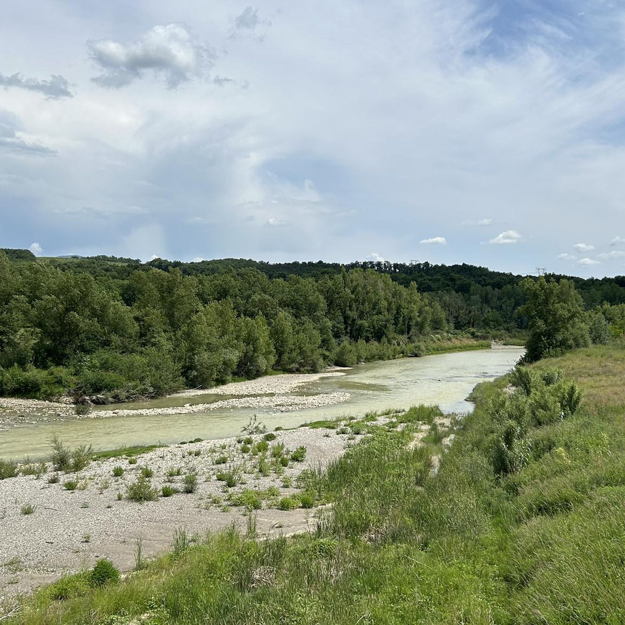
Hiking around Cinigiano offers exploration of the Maremma region of Tuscany, characterized by rolling hills, vineyards, and dense Mediterranean forests. The landscape features a mix of cultivated areas and wilder terrain, with elevations rising towards Monte Amiata in the distance. Trails often traverse historic rural paths, connecting small villages and offering panoramic views of the surrounding countryside.
Best hiking trails around Cinigiano
- The most popular hiking route is Sant'Angelo in Colle Loop, an 8.6 miles (13.9 km) trail that…
Last updated: October 12, 2026
5.0
(2)
7
hikers
13.9km
04:01
360m
360m
Hike a moderate 8.6-mile loop from Sant'Angelo Scalo to Sant'Angelo in Colle, exploring Brunello vineyards and classic Tuscan vistas.
4.2
(16)
84
hikers
7.94km
02:26
280m
280m
Moderate hike. Good fitness required. Easily-accessible paths. Suitable for all skill levels.

4.6
(19)
69
hikers
10.3km
03:12
390m
390m
Moderate hike. Good fitness required. Easily-accessible paths. Suitable for all skill levels.
4.3
(13)
72
hikers
4.65km
01:30
200m
210m
Easy hike. Great for any fitness level. Easily-accessible paths. Suitable for all skill levels.
3.0
(1)
8
hikers
15.5km
04:33
440m
440m
Moderate hike. Good fitness required. Easily-accessible paths. Suitable for all skill levels.
Get access to more routes and recommendations from other explorers.
Already have an account?
Our route recommendations are based on thousands of hikes, rides, and runs completed by other people on komoot.
Start today with a free account
Your next adventure awaits.

Tips from the Community

Sant'Angelo in Colle, located on a hill of 450 m above sea level, is a characteristic medieval village with a splendid panorama. Not to be missed is the church of San Michele Arcangelo.
1
0

Sant'Angelo in Colle is a characteristic medieval village belonging to the municipality of Montalcino, which is about 8 km away. In 1265 it was designated a "frontier castle" by the Municipality of Siena and in the fourteenth century it was the seat of a vicar and a grange of the Santa Maria della Scala hospital. Today it is a quiet village in a splendid panoramic position on the Brunello lands. At the entrance is a massive stone tower and in the main square is the church of San Michele Arcangelo, with two beautiful portals and remains of 14th-15th century frescoes. From a height of 450 meters it looks out over the surrounding landscape in all directions: from the dense woods of holm oaks and Mediterranean scrub that rise up to Montalcino, to the mighty and wild Monte Amiata up to the vast Maremma plain.
2
0

On the horizon you can see the sea and Monte Argentario
2
0
If you choose the hiking trail towards Castagnolo instead of returning the same way, you have fantastic views of Monticello Amiata.
0
0

On the plateau before the last ascent you have fantastic views of Monte Amiata.
1
0
On the ascent and descent you walk through ancient chestnut forests, in which weekend properties are hidden in the lower area.
1
0
The second and more leisurely part of the tour brings beautiful views to the south.
1
0
Monte Amiata is the highest mountain in Tuscany. Also good for hiking 😎👍
1
0
Frequently Asked Questions
How many hiking trails are available around Cinigiano?
There are nearly 100 hiking trails around Cinigiano, offering a diverse range of experiences from easy strolls through vineyards to more challenging ascents in the hills. The komoot community has recorded 98 tours in the area.
Are there any easy hiking trails suitable for beginners or families in Cinigiano?
Yes, Cinigiano offers 32 easy hiking routes, perfect for beginners or families looking for a relaxed outdoor experience. These trails often traverse gentle rolling hills and cultivated areas, providing pleasant walks without significant elevation gain.
What kind of terrain can I expect on hikes around Cinigiano?
Hiking around Cinigiano features a varied landscape of rolling hills, extensive vineyards, and dense Mediterranean forests. Trails often follow historic rural paths, connecting small villages and offering panoramic views of the surrounding countryside. You'll encounter a mix of cultivated areas and wilder terrain, with elevations rising towards Monte Amiata in the distance.
Are there any circular walks around Cinigiano?
Yes, many of the trails around Cinigiano are circular, allowing you to start and end your hike in the same location. For example, the Sant'Angelo in Colle Loop is a popular moderate circular route passing through historic village surroundings.
Are there any hikes that feature waterfalls or natural springs in the Cinigiano area?
Yes, the Cinigiano area is home to several natural water features. You can find highlights like the Acqua d'Alto Waterfall, as well as natural springs such as Doctor's Spring, Pozza di Catana Mountain Spring, and Fonte delle Monache, which can be incorporated into your hiking plans.
What are some notable landmarks or points of interest to see while hiking near Cinigiano?
Hikers can explore various landmarks and natural monuments. Highlights include the Monte Labbro Summit and Ruins, offering historical interest and panoramic views. On Monte Amiata, you can visit the Monumental Cross and the Madonna of the Scouts.
What do other hikers enjoy most about the trails in Cinigiano?
The hiking trails in Cinigiano are highly rated by the komoot community, with an average score of 4.6 stars from over 450 reviews. Hikers often praise the diverse terrain, the scenic views of the Maremma region, and the well-maintained paths that lead through vineyards, forests, and charming villages.
Are there any challenging hikes for experienced trekkers in Cinigiano?
Yes, for experienced trekkers seeking a challenge, Cinigiano offers 9 difficult routes. An example is the Monte Labbro Summit and Ruins – Beautiful Panoramic View loop from Salaiola, which is a longer and more demanding trail with significant elevation changes, rewarding hikers with expansive views.
What is the best season for hiking in Cinigiano?
The Maremma region, including Cinigiano, is generally pleasant for hiking in spring (April-May) and autumn (September-October) when temperatures are mild and the landscape is vibrant. Summer can be warm, but early morning or late afternoon hikes are still enjoyable. Winter offers cooler, quieter trails, though some higher elevation paths might be less accessible.
Are there any hikes that offer particularly good views of Monticello Amiata?
Yes, several trails provide excellent views of Monticello Amiata. The Ontanelli Trail – View of Monticello Amiata loop from Monticello Amiata is a popular moderate path specifically known for its scenic vistas of the area.
Can I find trails that lead past historic or abandoned farmhouses in Cinigiano?
Yes, the rural landscape around Cinigiano includes trails that pass by historic structures. The Ontanelli Trail – Abandoned Farmhouse loop from Monticello Amiata is a notable route that takes you through rural landscapes and past an abandoned farmhouse, offering a glimpse into the region's past.
Most popular routes around Cinigiano
Most popular attractions around Cinigiano

Get inspired with the komoot mobile app


Explore more
Browse the best Hikes in other regions.
