The best cycling routes around Montieri
4.5
(208)
2,158
riders
18
rides
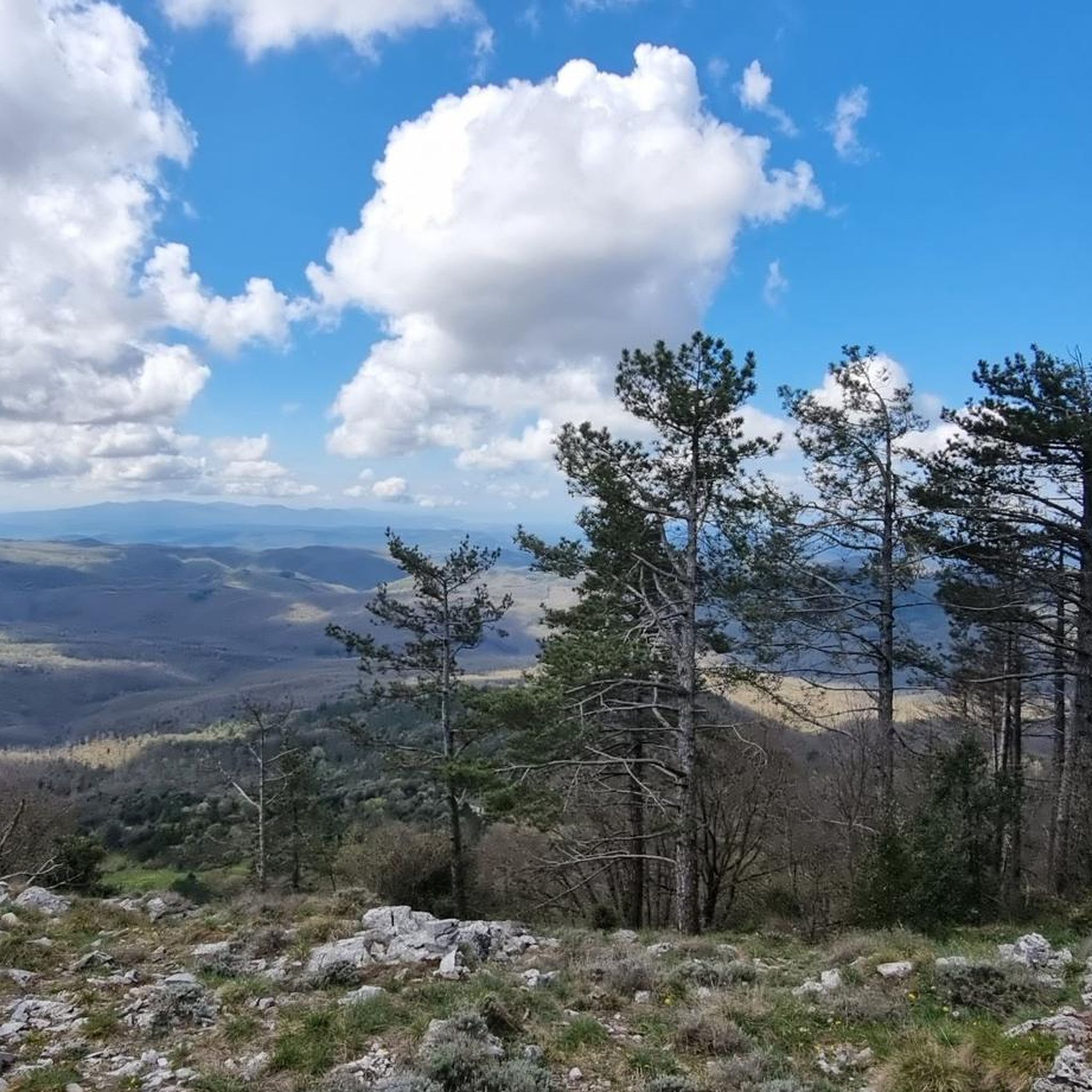
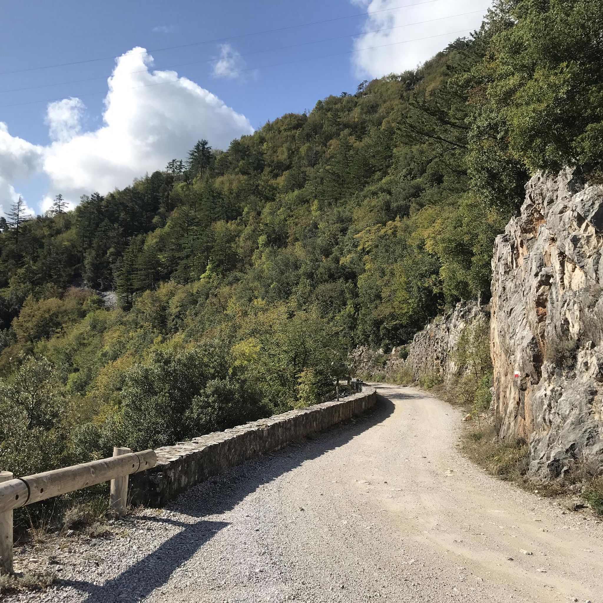
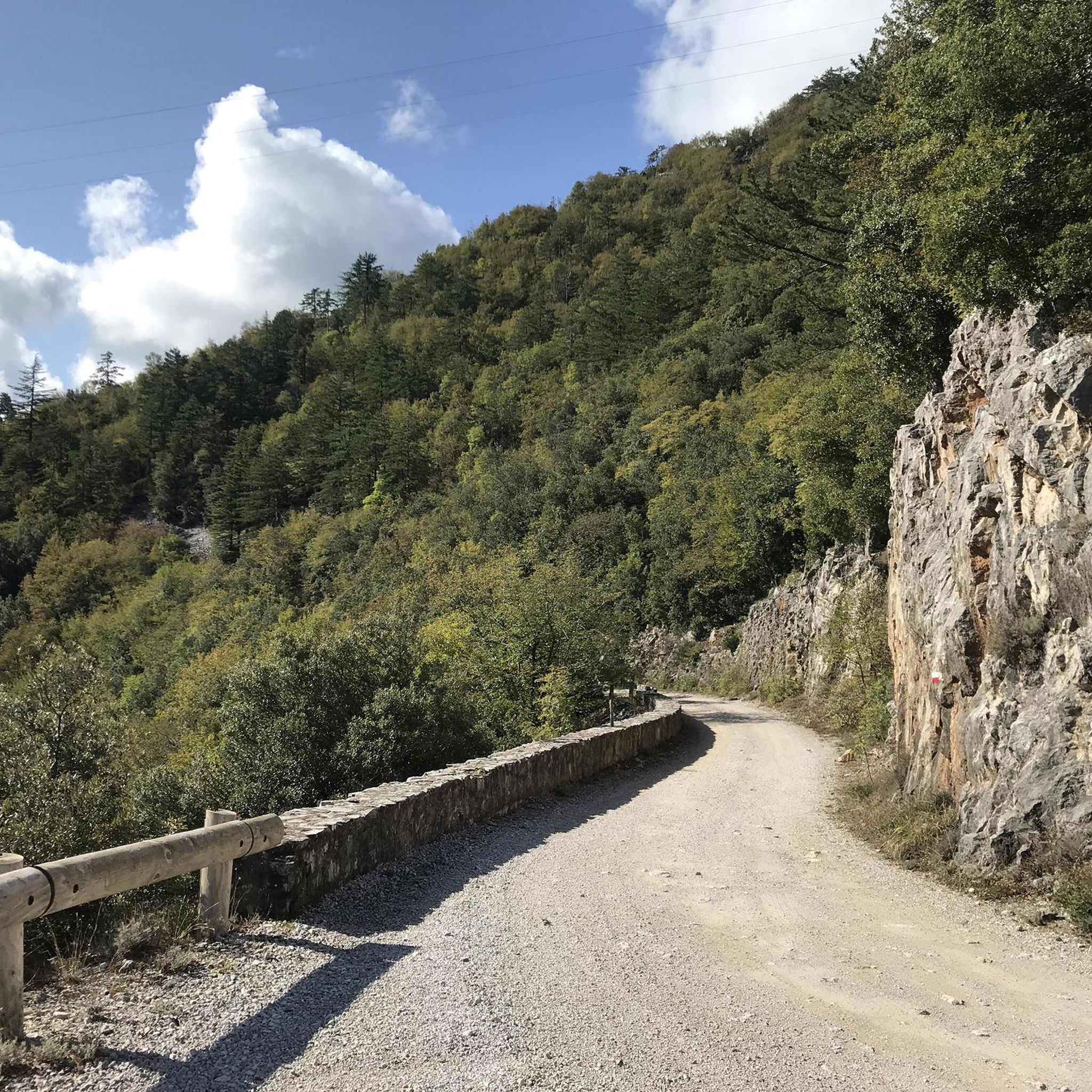
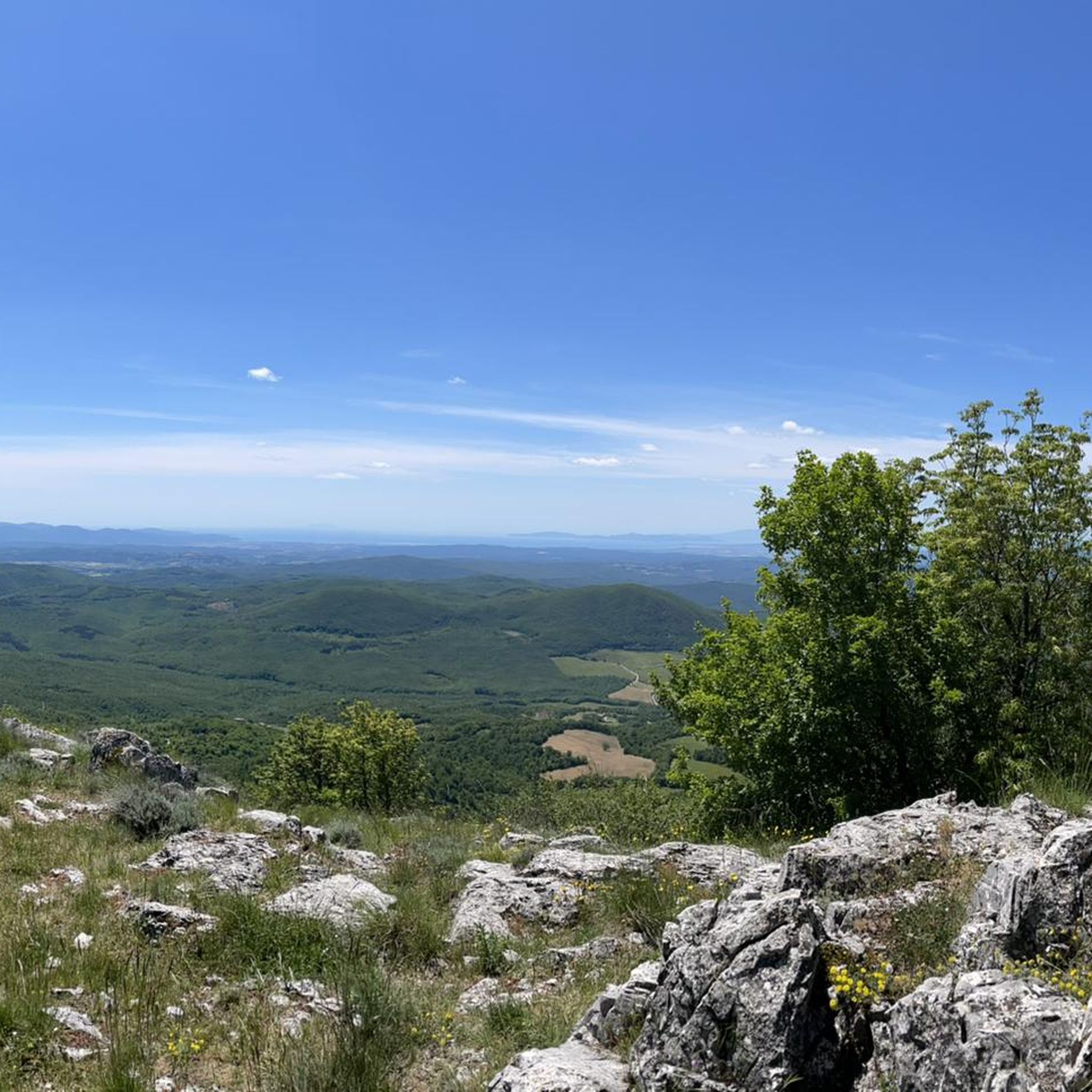
Touring cycling around Montieri offers routes through the heart of Tuscany's Metalliferous Hills, characterized by diverse landscapes. The region features winding, small roads with minimal traffic, encompassing both paved and unpaved segments. The terrain includes untouched ancient chestnut woods and areas shaped by a historical mining past, providing varied scenery for cyclists. Panoramic viewpoints offer expansive vistas across the surrounding countryside.
Best touring cycling routes around Montieri
- The most popular touring cycling route is from the Borgo di Montieri to…
Last updated: August 31, 2026
3.0
(1)
7
riders
66.1km
04:49
1,160m
1,160m
Embark on a challenging touring bicycle adventure with the "from the Borgo di Montieri to Ciciano — Ring tour." This difficult route spans 41.1 miles (66.1 km) and features a…
4.3
(3)
29
riders
23.4km
02:02
530m
540m
Hard bike ride. Very good fitness required. Mostly paved surfaces. Suitable for all skill levels.

Sign up for free
3.8
(5)
33
riders
31.6km
02:48
710m
720m
Hard bike ride. Very good fitness required. You may need to push your bike for some segments of this route.
4.0
(1)
42
riders
62.6km
05:26
1,450m
1,450m
Hard bike ride. Very good fitness required. You may need to push your bike for some segments of this route.
14
riders
35.2km
03:23
870m
870m
Hard bike ride. Very good fitness required. You may need to push your bike for some segments of this route.
Get access to more routes and recommendations from other explorers.
Sign up for free
Already have an account?
Our route recommendations are based on thousands of hikes, rides, and runs completed by other people on komoot.
Start today with a free account
Your next adventure awaits.
Login or Signup

Tips from the Community

The historic center of Chiusdino is a charming, fortified medieval village perched on the Sienese Metalliferous Hills. It preserves its ancient urban structure with stone alleys, red and white houses in pure Sienese style, and offers a spectacular panoramic view of the Val di Merse. The village is deeply linked to the figure of Saint Galgano, the famous knight who became a hermit.
0
0

technical but well-rideable uphill trail
0
0

The "Spaghetti Uphill" is one of the most famous singletracks on Monte Arsenti in Massa Marittima, specifically designed for mountain bikes and e-bikes. This trail extends for about 2 km with an average gradient of 9% and allows you to reach the summit by covering an elevation gain of 170 meters. Lo Spaghetti Uphill It is a blue-rated singletrack climb. It was created to avoid the classic white road (fire road), offering a much more fun, technical, and forest-immersed climb, rich in hairpin turns, boardwalks, and berms. It takes you directly to the top, where numerous famous descents like the Jail Trail or the Canyon start.
1
0

Super uphill in the shade but it also gets a bit technical
2
0
Il Borgo di Ciciano is a hamlet of the municipality of Chiusdino, located in the province of Siena, in Tuscany. It is a characteristic hilly village immersed in the Colline Metallifere, known above all for its local traditions and its proximity to important historical and natural sites.
0
0
The Archaeological Museum is housed in the ancient Palazzo del Podestà (1225), which overlooks the Piazza del Duomo of Massa Marittima. The collection is organized into sections, ordered chronologically from the lower paleolithic to the etruscan age; the main piece of the prehistoric collection is the eneolithic statue-stele of Vado all’Arancio, the only find of its type in Maremma; the etruscan finds come mainly from excavations carried out at the village of Lago dell’Accesa, they are mainly kitchenware, loom weights, fishing weights and bricks; also present are the funerary trousseaux found in the necropolises, especially pottery (figulina clay and bucchero), bronze fibulae, iron pot stands, iron and bronze weapons. On the ground floor, an educational section is set up with a life-size reconstruction of typical caves: a paleolithic and an eneolithic one. Guided tours and educational activities, organization of cultural events and film screenings are available.
1
0
The massive Torre del Candeliere (or clock tower) is 24m high and was built to assert its authority in 1228, a few years after Massa Marittima gained independence as a Free Commune. The building's peculiar name derives from the custom of always keeping a fire lit on its summit, making it resemble a huge candle. In 1413, a bell was placed for the first time, later replaced in 1760 by the current one, weighing about 140kg. The first clock was instead placed on the facade in 1443. The Torre del Candeliere is the quintessential panoramic viewpoint of the town. It is therefore visitable, and through its Sienese Arch, it is possible to access the Fortress, the only stretch of walls still walkable today. The Arch and the Fortress were built after the Tower: with the conquest of Massa by Siena in 1335, the Tower was partially demolished, and then rebuilt about a third lower than the original.
1
0
At the foot of the Cornate mountains, like a miniature nativity scene, lies the charming village of Gerfalco, a perfect subject for photography and painting enthusiasts. Also a hub of mining exploration and controlled during the Middle Ages by the noble Pannochieschi family, it owes its name to the words ger-Falke, from the Medieval German, meaning "hawk-bearer." The road that encircles the village's perimeter suddenly seems lost in time. The church of San Biagio, consecrated in 1323, watches over the village. It was built with an adjoining convent, now a parish house and summer youth center.
0
0
Frequently Asked Questions
How many touring cycling routes are available around Montieri?
Montieri offers a good selection of touring cycling routes, with over 10 options available. These routes traverse the diverse landscapes of Tuscany's Metalliferous Hills, providing varied experiences for cyclists.
What is the best time of year for touring cycling in Montieri?
The altitude of Montieri provides a cooler climate, making it ideal for cycling even during summer. However, spring and autumn generally offer the most pleasant temperatures and vibrant scenery for touring cycling in the region.
What kind of terrain can I expect on touring cycling routes in Montieri?
The routes around Montieri feature a mix of terrain. You'll find winding, small roads with minimal traffic, encompassing both paved and unpaved segments. The landscape includes untouched ancient chestnut woods, areas shaped by a historical mining past, and offers panoramic viewpoints with expansive vistas.
Are there touring cycling routes suitable for beginners or families in Montieri?
While many routes in Montieri are rated as difficult due to significant elevation gain, there are a couple of moderate routes available. These might be more suitable for beginners or families looking for a less strenuous ride. For example, the Tatti Village – View of Prata loop from Montieri offers a challenging but manageable distance.
What do other touring cyclists enjoy most about cycling in Montieri?
The touring cycling routes in Montieri are highly rated by the komoot community, with an average score of 4.6 stars from over 130 reviews. Cyclists often praise the diverse landscapes, the quiet winding roads with minimal traffic, and the unique blend of natural beauty and historical mining heritage.
Are there any circular touring cycling routes in Montieri?
Yes, many of the touring cycling routes around Montieri are designed as loops, allowing you to start and finish in the same location. An example is the challenging from the Borgo di Montieri to Ciciano — Ring tour, which offers a substantial ride with significant elevation.
What are some notable natural features or attractions I can see along the touring cycling routes?
The region is rich in natural and historical attractions. You might encounter striking features like the 'silver rocks' of Cornate mountain or the impressive red scoria stacks of the 'Roste' near Boccheggiano. You can also explore preserved areas like the Biancane Nature Park or the Le Biancane Geothermal Park, which showcase the area's unique geothermal activity. Ancient chestnut woods also provide shaded breaks.
Are there any historical sites or villages to explore near the cycling routes?
Absolutely. Montieri itself boasts traces from the Middle Ages, including defense wall towers and 14th-century tower houses. Nearby medieval villages like Gerfalco and Travale retain their fascinating, intact layouts. You can also visit the ancient, uniquely flower-shaped Canonica di San Niccolò, considered one of Italy's most distinctive churches.
What services are available for cyclists in Montieri?
Montieri caters well to cyclists. You can find options for GPS tour downloads, detailed maps, bicycle rooms, and repair facilities. There are also shops for e-bike rental and equipment, and some local services even offer emergency pick-up, ensuring a supported cycling experience.
Are there any long-distance touring options from Montieri?
While the guide focuses on routes around Montieri, the region's network of quiet roads allows for longer tours. For instance, a notable longer trip mentioned in regional research is 'Montieri - San Gimigniano - Volterra - Montieri,' which is approximately 150km and visits iconic Tuscan towns, though this specific route is not detailed in the provided komoot data.
What is the longest touring cycling route listed in Montieri?
The longest touring cycling route detailed in this guide is the from the Borgo di Montieri to Ciciano — Ring tour, covering 41.1 miles (66.1 km) with significant elevation gain, typically taking around 4 hours and 49 minutes to complete.
Can I find routes that offer views of the geothermal power stations?
Yes, some routes in the Montieri area, particularly those extending towards Monterotondo, offer views of the region's unique geothermal landscape, including power stations and abandoned farmhouses, showcasing the area's historical and modern energy production.
Most popular attractions around Montieri

Get inspired with the komoot mobile app


Explore more
Browse the best Cycling routes in other regions.
