The best walks and hikes around Stadelhofen
4.4
(1386)
4,469
hikers
91
hikes
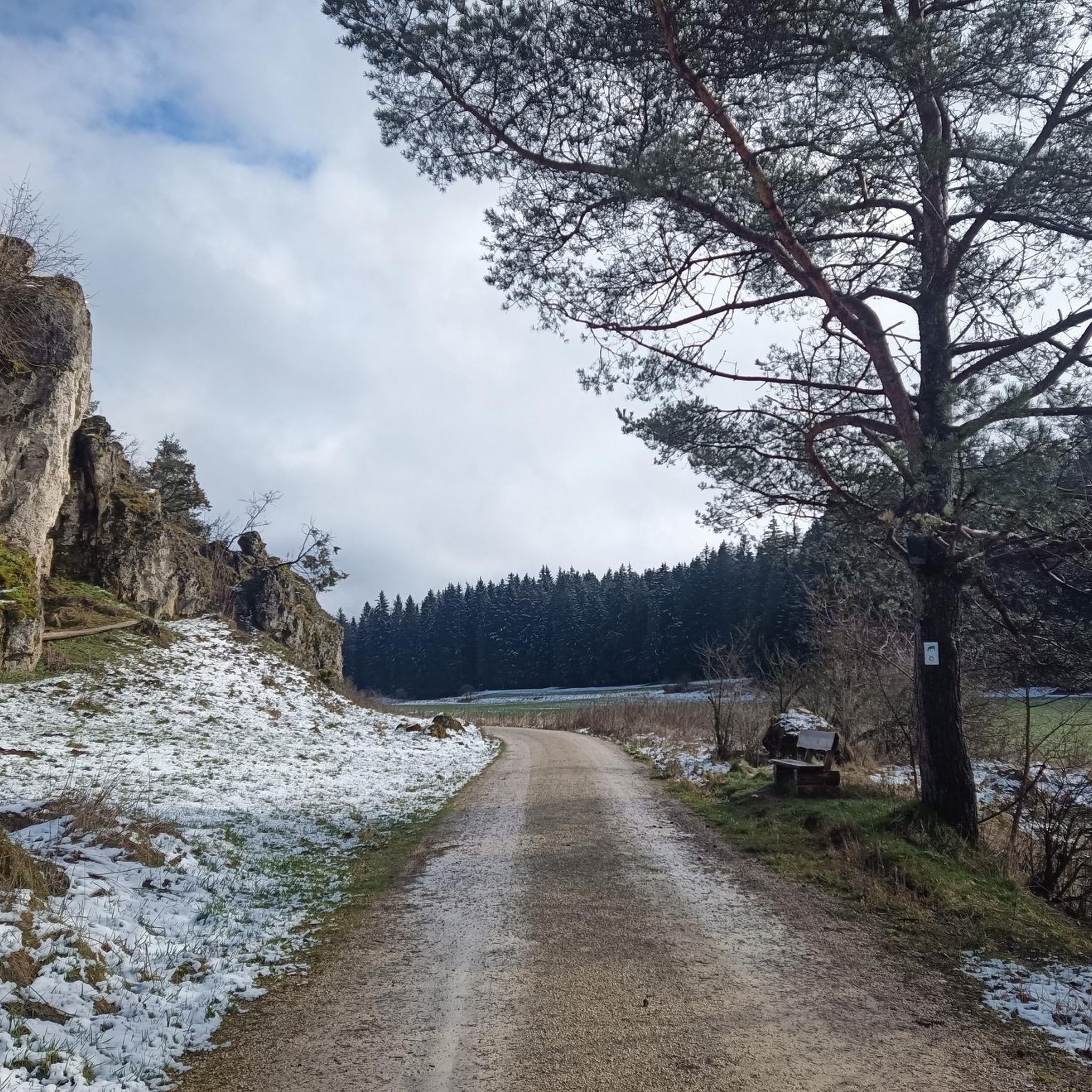
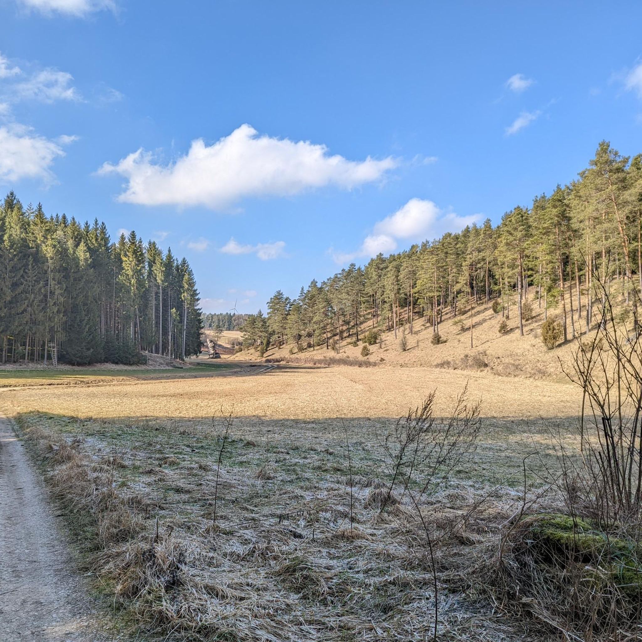
Hiking around Stadelhofen offers diverse landscapes within the Franconian Switzerland region of Germany. The area is characterized by rolling hills, dense forests, and picturesque valleys, providing varied terrain for outdoor activities. Notable features include impressive rock formations like the Nasenlöcherfelsen and the scenic Paradies Valley. The River Wiesent flows through the region, adding to the natural beauty and offering riverside trails.
Best hiking trails around Stadelhofen
- The most popular hiking route is Durchs Paradies auf Erden – Blühender Jura in…
Last updated: October 30, 2026
4.4
(285)
945
hikers
13.6km
03:35
110m
110m
Moderate hike. Good fitness required. Easily walkable paths.
4.7
(512)
1,628
hikers
11.4km
03:01
120m
120m
Moderate hike. Good fitness required. Easily walkable paths.

4.7
(67)
189
hikers
11.6km
03:29
320m
320m
Moderate hike. Good fitness required. Mostly walkable paths. Sure-footedness required.
4.7
(56)
204
hikers
11.5km
03:01
90m
90m
Moderate hike. Good fitness required. Easily walkable paths.
4.7
(33)
110
hikers
Moderate hike. Good fitness required. Easily walkable paths.
Get access to more routes and recommendations from other explorers.
Already have an account?
Our route recommendations are based on thousands of hikes, rides, and runs completed by other people on komoot.
Start today with a free account
Your next adventure awaits.
Tips from the Community

The rocky slope between the Wüstenstein and the Predigtstuhl in the Paradiestal does not have an independent, coherent proper name. This is due to the typical geology of the Upper Franconian dry valley, where the striking limestone formations do not form a closed wall, but rather a chain of individual, free-standing rock towers and rock piles along the edge of the valley. In topographical descriptions and hiking maps, this striking section is therefore usually described in general terms as the rocky flank of the valley floor, as a wooded rocky slope, or simply as the chain of the Paradiestal rocks.
5
0

From up here at the cross, which is clearly visible from Würgau, you have a great view of the landscape and the exciting rocks of Franconian Switzerland.
0
0

nice to look at with a rock crevice to go through, right on the path
0
0


The Höhenwwg is definitely recommended
3
0

Six climbing routes lead through the heavily jagged rock face.
1
0
In the approximately 4.2 km long Paradise Valley in Franconian Switzerland, you will find numerous rock formations like this one, which invite you to marvel, take photos and sometimes even climb.
1
0

Fantastic rock formations on both sides of the sandstone gorge. A pleasant hiking trail begins and ends in Burglesau. Not to be missed.
0
0
Frequently Asked Questions
How many hiking trails are available around Stadelhofen?
Stadelhofen offers a comprehensive network of over 80 hiking routes. These trails cater to various preferences, ranging from easy strolls to more challenging treks through the diverse landscapes of Franconian Switzerland.
What kind of terrain can I expect on hikes near Stadelhofen?
The region is characterized by rolling hills, dense forests, and picturesque valleys. You'll encounter impressive rock formations, lush meadows, and paths alongside the River Wiesent. Some routes, particularly in areas like the Paradies Valley, feature cozy paths and dramatic rock formations, while others might have root-slippery sections.
What is the best time of year to hike in Stadelhofen?
Stadelhofen's landscapes are particularly stunning in spring, when meadows burst with vibrant flowers, and in autumn, when the deciduous forests display a spectacular array of colors. However, the diverse trail network offers enjoyable experiences throughout the year, with options for all seasons.
Are there family-friendly hiking options in Stadelhofen?
Yes, Stadelhofen offers several easy and family-friendly routes. For instance, the Hidden Cave – Zigeunerstube Cave loop from Stadelhofen is an easy option. The region also features a dedicated 'Children's Hiking Trail' designed with interactive stations to engage young hikers with nature.
Are there any interesting natural landmarks or rock formations to see?
Absolutely. The region is famous for its striking rock formations. You can explore the impressive rock formations in the Paradies Valley, or visit specific sites like the Hohler Stein rock formation and the Kemitzenstein area, which features rock towers amidst green meadows. The Nasenlöcherfelsen – Stone Foot loop from Felsgruppe also leads past notable rock features.
Can I find any historical sites or castles along the trails?
Yes, the area combines natural beauty with historical interest. You can hike to the Neideck Castle Ruins for panoramic views, or explore the Nürnberger Tower – Sandstone Gorge loop from Roßdorf a. Berg which leads to the historic Nürnberger Tower. The Giechburg, a historic castle now used for events, is also a notable point of interest in the wider region.
Are there any waterfalls or water features to discover?
While not large waterfalls, the region features several beautiful water-related natural monuments. You can find the Großer Tummler Karst Spring and various sinter terraces, such as the Sinter Terraces Near Würgau and Sinter Terraces at Würgauer Berg. The River Wiesent also flows through the region, offering serene riverside paths.
What do other hikers enjoy most about hiking in Stadelhofen?
The hiking trails around Stadelhofen are highly rated by the komoot community, with an average score of 4.4 stars from over 1100 reviews. Hikers frequently praise the diverse landscapes, the impressive rock formations, and the peaceful atmosphere of areas like the Paradies Valley.
Are there any circular hiking routes available?
Yes, many of the trails in Stadelhofen are designed as circular routes, allowing you to start and end at the same point. Examples include the popular Hiking trail through the Paradise Valley – Langerstein loop from Stadelhofen and the Nürnberger Tower – Sandstone Gorge loop from Roßdorf a. Berg.
Are there options for easy, short hikes?
Yes, Stadelhofen offers 37 easy routes, many of which are shorter in duration. The Hidden Cave – Zigeunerstube Cave loop from Stadelhofen is an easy option, covering about 6.2 km (3.9 miles) and taking around 1 hour 40 minutes, perfect for a relaxed outing.
Can I find places to picnic or relax during my hike?
Yes, the natural beauty of Stadelhofen provides many scenic spots for picnicking and relaxation. Areas like Kemitzenstein, with its rock towers amidst green meadows, are ideal for taking a break and enjoying the surroundings.
Are there any unique natural monuments to visit nearby?
Beyond the immediate trails, the Sanspareil Rock Garden is a notable natural monument slightly outside Stadelhofen. It features unique rock formations and a historic ruin theater, offering a cultural and natural experience.
Most popular routes around Stadelhofen
Most popular attractions around Stadelhofen

Get inspired with the komoot mobile app


Explore more
Browse the best Hikes in other regions.
