The best cycling routes around Stadelhofen
4.5
(2146)
9,529
riders
24
rides
Touring cycling around Stadelhofen, located in Bavaria's Franconian Switzerland-Franconian Jura Nature Park, offers diverse landscapes for cyclists. The region is characterized by rolling hills, dense forests, and unique geological formations such as rock outcrops. Cyclists can expect varied terrain, including well-maintained paths and roads that traverse this picturesque natural environment.
Best touring cycling routes around Stadelhofen
- The most popular touring cycling route is Old Town Bamberg – Lower bridge loop from Stadelhofen, a 56.1 miles (90.2 km) trail that…
Last updated: October 21, 2026
4.4
(77)
436
riders
Hard bike ride. Very good fitness required. Mostly paved surfaces.
4.4
(5)
34
riders
90.2km
05:45
740m
740m
Hard bike ride. Very good fitness required. Mostly paved surfaces.

4.3
(3)
26
riders
51.2km
03:33
730m
720m
Hard bike ride. Very good fitness required. Mostly paved surfaces.
4.6
(5)
25
riders
30.9km
02:21
280m
280m
Moderate bike ride. Good fitness required. Mostly paved surfaces.
4.5
(2)
9
riders
44.7km
02:45
330m
330m
Moderate bike ride. Good fitness required. Mostly paved surfaces.
Get access to more routes and recommendations from other explorers.
Already have an account?
Our route recommendations are based on thousands of hikes, rides, and runs completed by other people on komoot.
Start today with a free account
Your next adventure awaits.
Tips from the Community

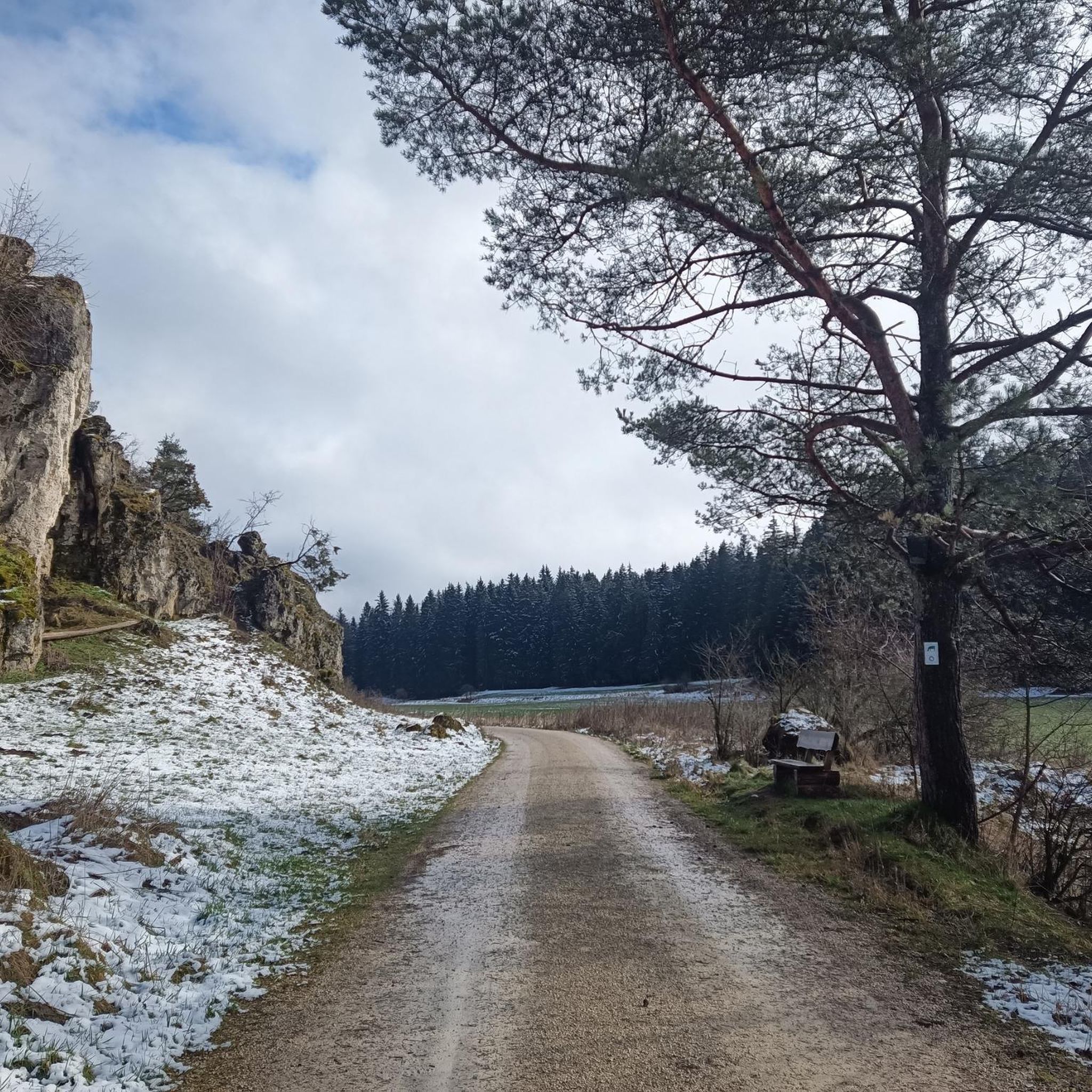
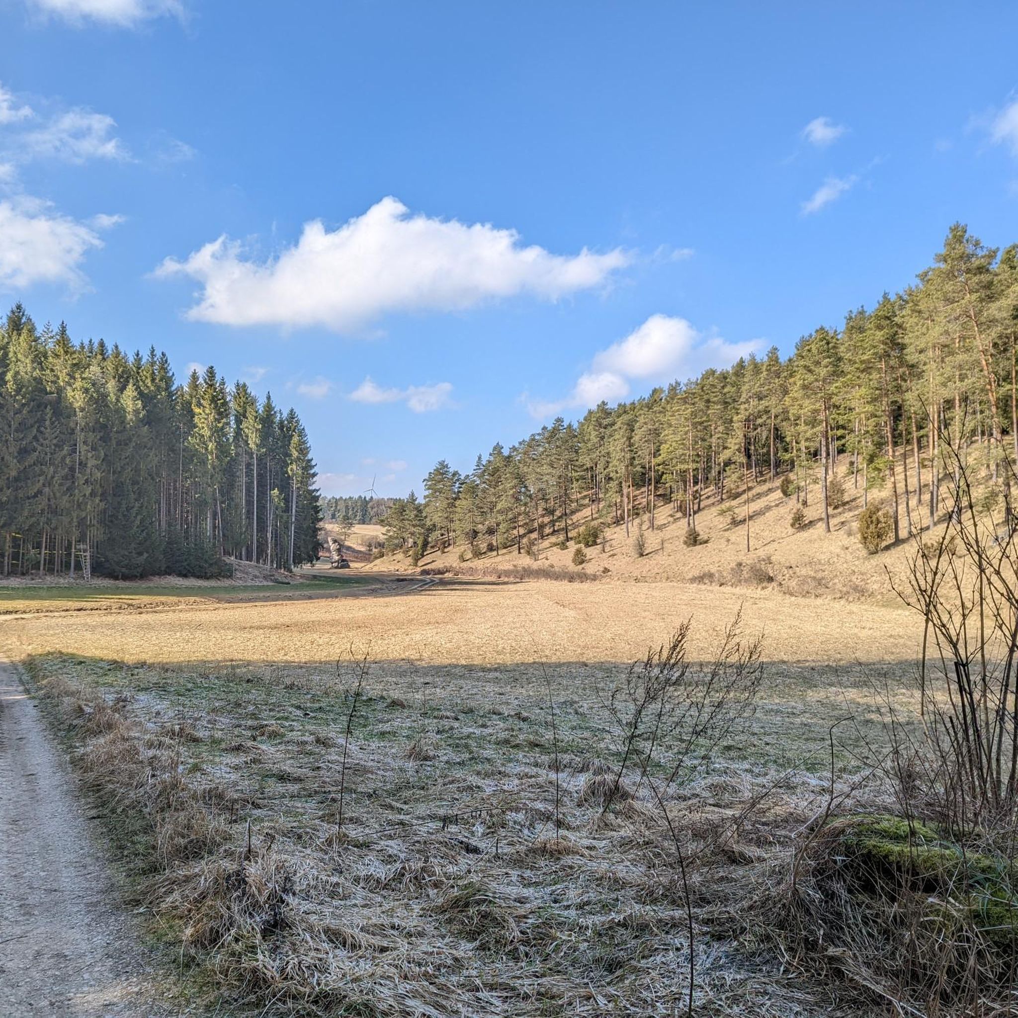
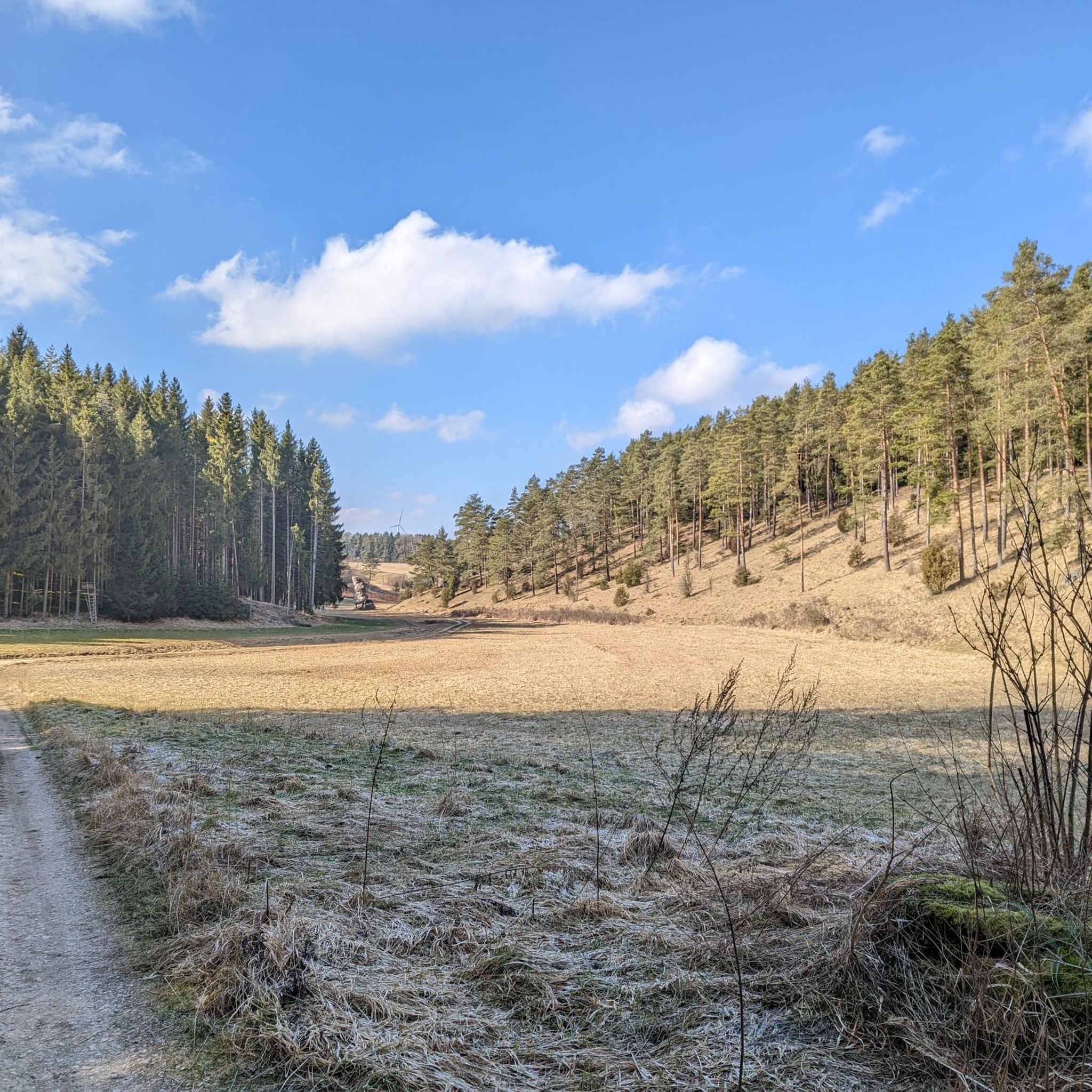
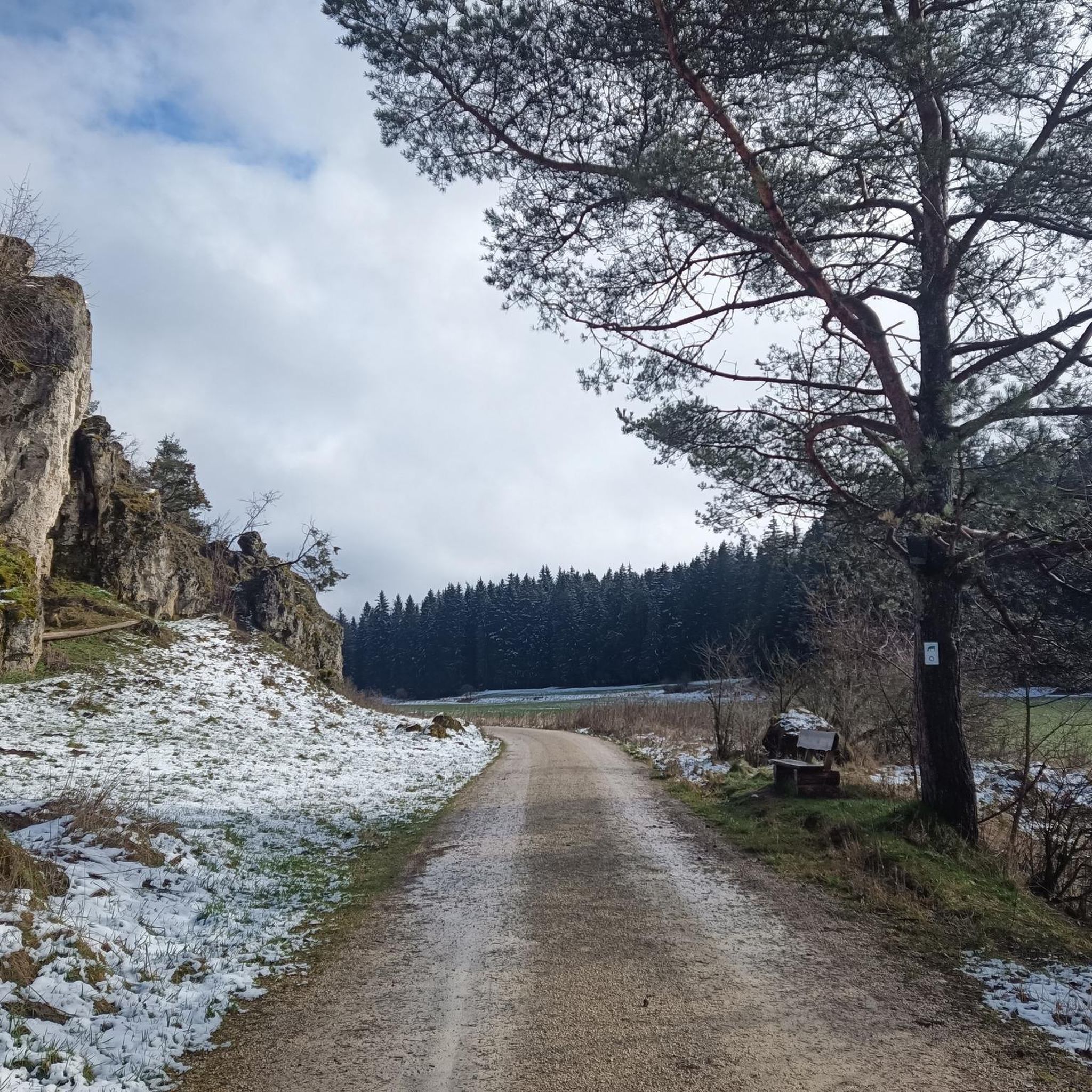
The Paradiestal is one of the most beautiful and well-known dry valleys in Franconian Switzerland (located in the northern Franconian Jura in the district of Bamberg, near Stadelhofen). The uninhabited nature reserve owes its paradisiacal name to its idyllic silence, the lush green valley meadows, and the bizarre, bright limestone cliffs that rise from the forest floor on the left and right. Since there is no road traffic or permanent flowing water in the entire valley, it offers hikers an untouched nature experience. Geologically, the valley is characterized by strong karstification: rainwater seeps immediately into the porous Jurassic rock, which is why huge cave systems have formed underground, while the valley itself remains dry above ground.
4
0

Between Klein Venedig and the ERBA island, a continuous riverside path follows the left arm of the Regnitz. The section "Am Leinritt" recalls its original function in its name: here, horses and haulers once pulled ships upstream. Today, it is a quiet walking path with views of fishermen's houses, boat docks, and the water. Further downstream, the path widens into the ERBA Park, the former site of the Erlangen-Bamberger cotton mill, which was transformed into a spacious park landscape with meadows, water features, and riverside terraces for the 2012 State Garden Show. The old factory buildings now house parts of the university. 📍 Route: Fischerei – Am Leinritt – Markusbrücke – Landesgartenschauweg / ERBA-Park 🚶 Level, well-maintained path, also easily manageable with a stroller 🛶 Ideal perspective of Klein Venedig from the opposite bank 🌳 ERBA Park: lots of greenery, steps by the water, popular for breaks in the summer 🐟 With a bit of luck, you can see anglers, rowers, and canoeists on the river 🌉 The loop can be shortened as desired via the Markusbrücke
0
0

Krögelstein is more than a picturesque village nestled between Dolomite rocks: high above the Kaiserbach once stood the castle of the Lords of Krögelstein. Their history dates back to the Middle Ages. In 1523, the rock castle was destroyed by the Swabian League. The large watchtower is said to have been blown up with four tons of gunpowder. Today, remnants of walls above the rocky gorge are a reminder of the vanished castle. The houses of the village nestle directly against the striking Dolomite rocks: the "Alten Fritz", the Schwedenfelsen, and the Löwenfelsen.
5
0
The Kainachtal is a particularly beautiful and quiet natural area right on the outskirts of Hollfeld. The path leads from the old town down into the valley, where the landscape transforms into an idyllic stream and meadow landscape. The gentle splashing of the Kainach accompanies you on your way. The valley is particularly interesting for families, as the children's adventure trail with various stations for playing and discovering runs through here.
9
0

The old town is always worth a visit.
0
0
Now that the Staffelberg has been cleared of some of the trees, it shows off well.
1
0

The Schwarzacher Steg is a striking covered wooden bridge. It spans the Main River near Mainleus.
14
0
Frequently Asked Questions
How many touring cycling routes are available around Stadelhofen?
There are over 20 touring cycling routes in the Stadelhofen area. These routes cater to various skill levels, with a good mix of easy, moderate, and difficult options to explore the Franconian Switzerland-Franconian Jura Nature Park.
Are there touring cycling routes suitable for families in Stadelhofen?
Yes, Stadelhofen offers several touring cycling routes that are suitable for families. The region features easier, flatter paths, particularly through valleys and along rivers, allowing for a relaxed cycling experience. There are 6 easy routes available, perfect for a leisurely family outing.
What kind of landscapes can I expect to see while cycling around Stadelhofen?
Cyclists around Stadelhofen will experience diverse landscapes characteristic of the Franconian Switzerland-Franconian Jura Nature Park. Expect rolling hills, dense forests, and unique geological formations like impressive rock outcrops. Routes often pass through picturesque villages, offering scenic views of the Franconian countryside.
Are there any circular touring cycling routes in Stadelhofen?
Many of the touring cycling routes around Stadelhofen are designed as loops, allowing you to start and end your ride in the same location. For example, the Längerstein rock formation – Wiesentfels Castle loop from Stadelhofen is a moderate 17.6-mile (28.4 km) route that takes you through areas featuring rock formations and historical castles.
What are some notable natural attractions or landmarks I can see along the cycling routes?
The region is rich in natural beauty. You can encounter unique rock formations like the Längerstein rock formation, or explore areas with impressive karst springs and sinter terraces. For instance, the Großer Tummler Karst Spring and the Sinter Terraces Near Würgau are highlights that showcase the area's geological features.
Are there any historical sites or castles accessible by touring bike?
Yes, several routes incorporate historical sites. The Längerstein rock formation – Wiesentfels Castle loop from Steinfeld (VGem), for example, leads you past the historic Wiesentfels Castle. The broader region also features attractions like the Sanspareil Rock Garden with its ruin theater, and Zwernitz Castle, offering glimpses into local history.
What do other touring cyclists enjoy most about cycling in Stadelhofen?
The touring cycling routes in Stadelhofen are highly rated by the komoot community, with an average score of 4.4 stars from over 20 reviews. Cyclists often praise the varied terrain, the scenic views of the Franconian landscapes, and the well-maintained paths that make for an enjoyable ride through nature.
Is it possible to combine cycling with exploring nearby towns or cities?
Absolutely. Stadelhofen's location allows for cycling routes that connect to nearby towns and historical centers. The Old Town Bamberg – Lower bridge loop from Stadelhofen is a challenging route that links Stadelhofen with the historical city of Bamberg, offering a blend of natural beauty and cultural exploration.
Are there any routes with significant viewpoints?
Yes, the region is known for its scenic vistas. The View of Staffelberg – View of Staffelberg loop from Schederndorf is a difficult route specifically highlighted for its stunning views of the Staffelberg and the surrounding Franconian landscapes, making it a popular choice for those seeking panoramic sights.
What is the best time of year for touring cycling in Stadelhofen?
The Franconian Switzerland-Franconian Jura Nature Park is beautiful throughout the warmer months. Spring offers lush greenery and blooming wildflowers, while autumn provides vibrant fall foliage. Summer is also popular, but it's always advisable to check local weather forecasts for optimal cycling conditions.
Are there any routes that pass by water features like waterfalls?
While large waterfalls are not a primary feature, the region does have charming water cascades and sinter terraces. You can find highlights like the Water Cascades Near Burglesau and the Sinter Terraces Stream Biotope, which offer picturesque spots along some routes.
Can I find routes that are less crowded or considered 'hidden gems'?
While popular routes are well-loved, the extensive network of trails in the Franconian Switzerland-Franconian Jura Nature Park means you can often find quieter paths. Exploring some of the moderate or difficult routes, such as the Wiesentfels Castle – Source of the Wiesent loop from Stadelhofen, can lead you to less frequented areas and offer a more secluded cycling experience.
Most popular routes around Stadelhofen
Most popular attractions around Stadelhofen

Get inspired with the komoot mobile app


Explore more
Browse the best Cycling routes in other regions.
