The best walks and hikes around Caragnani/Calangianus
4.4
(1246)
4,265
hikers
91
hikes
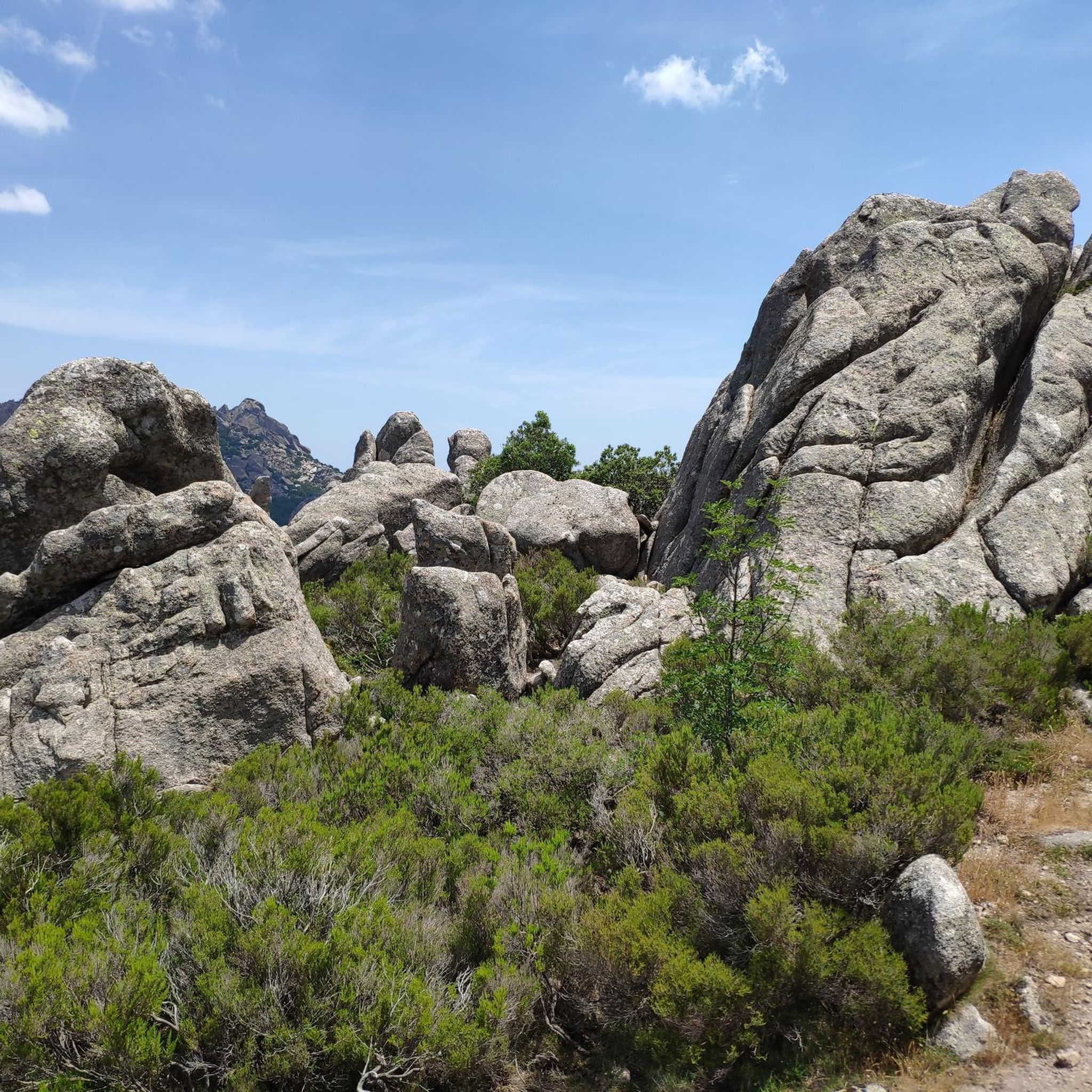
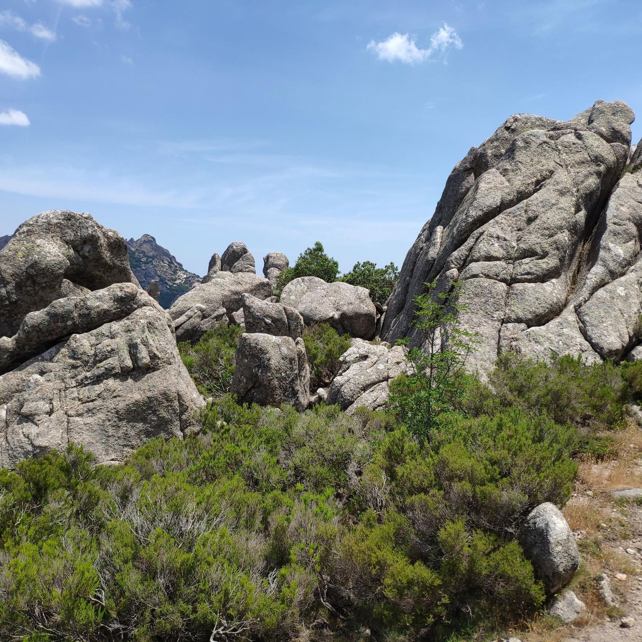
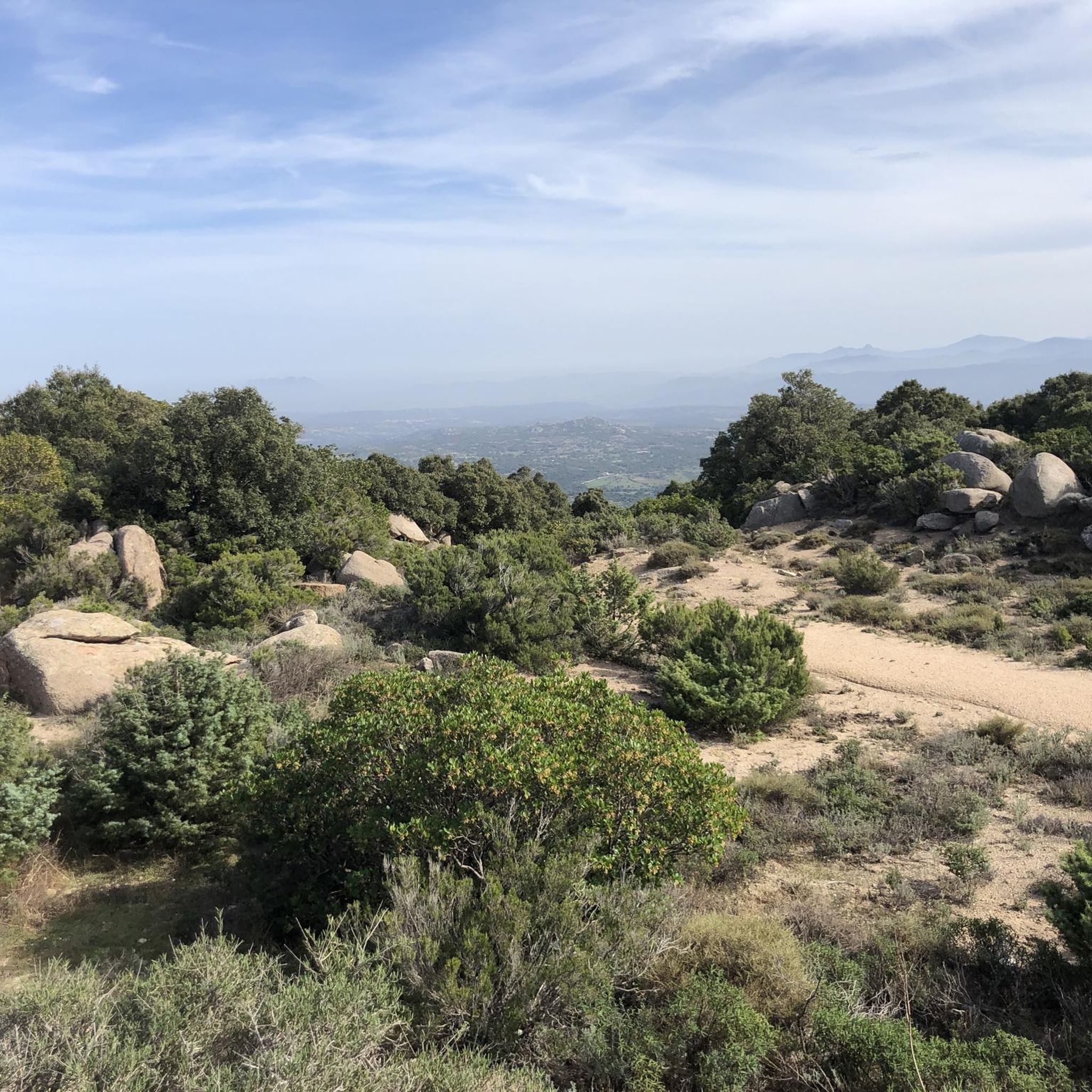
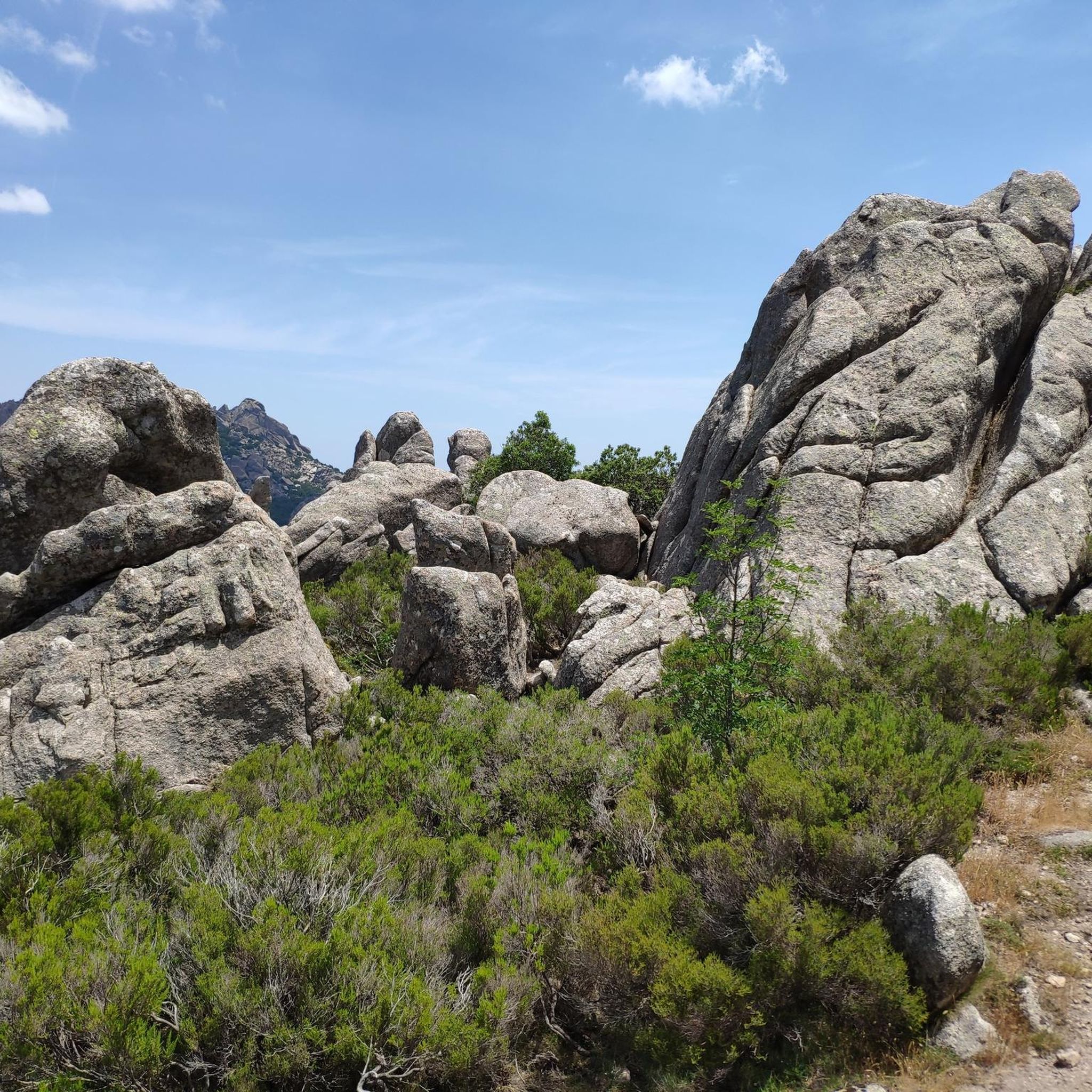
Hiking around Caragnani/Calangianus offers diverse landscapes dominated by the Monte Limbara Massif, providing a backdrop for numerous trails. The region features impressive granite formations, often sculpted into unique shapes by natural erosion, and rich Mediterranean scrub, cork forests, and wild olive trees. Pathways frequently lead through these wooded areas, offering a serene hiking experience. The area also contains ancient rural settlements known as "stazzi," adding a historical and cultural dimension to the natural trails.
Best hiking trails around Caragnani/Calangianus
- The…
Last updated: July 20, 2026
4.5
(2)
3
hikers
31.5km
09:46
1,110m
1,110m
Hike the difficult 19.6-mile (31.5 km) Walk from Nuchis to the peaks of Gallura - ring tour, gaining 3655 feet (1114 metres).
4.5
(19)
76
hikers
11.3km
03:45
540m
540m
Moderate hike. Good fitness required. Easily-accessible paths. Suitable for all skill levels.

Sign up for free
4.4
(9)
15
hikers
13.0km
03:40
270m
270m
Moderate hike. Good fitness required. Easily-accessible paths. Suitable for all skill levels.
4.4
(8)
14
hikers
8.68km
02:20
100m
100m
Moderate hike. Good fitness required. Easily-accessible paths. Suitable for all skill levels.
5.0
(1)
4
hikers
1.95km
00:37
50m
50m
Moderate hike. Great for any fitness level. Mostly accessible paths. Sure-footedness required.
Get access to more routes and recommendations from other explorers.
Sign up for free
Already have an account?
Our route recommendations are based on thousands of hikes, rides, and runs completed by other people on komoot.
Start today with a free account
Your next adventure awaits.
Login or Signup

Tips from the Community

A simple hut with benches and tables, located on a gravel road, suitable for a rest or a short overnight stay. There is also space for a tent in front of the hut. Occasional traffic from construction/forestry vehicles.
0
0


Special place and for us Dutch very special because this tomb shows similarities with the dolmens in Drenthe (Netherlands). In addition, it is a very beautiful piece of nature where this tomb is located. From the parking lot it is only a short walk without challenges and recommended for everyone!
3
0

Today is the 28th of July, I recommend leaving as soon as it is light because the first part is exposed to the sun, leaving late becomes an ordeal, leaving early however it is easy to tackle. For the rest of the route there are more areas under the trees than those exposed to the sun. Trekking shoes recommended, very stony path in the descending phase.
0
0
First of all I must say that you need to add one km to the route. It occurred to me afterwards to record it. The excursion begins in Calangianus (Sassari) at the La 13 bar, so called because it is near the former roadman's house n. 13 of the former Calangianus Monti railway. You can find it on the Ss 127 km 30 Calangianus - Telti, 07023 Calangianus SS. Leave the car there and after about a kilometer the route saved by me begins, it's very easy, you can't go wrong, just follow the arrows for Li Conchi. Beautiful ride, not very easy, quite challenging, especially on the way back which is steep and very irregular. There must be at least two of you because from the point of arrival to the point of departure there are approximately 15 km. Have a nice walk!
0
0

This impressive mountain range is the highest in the region and offers an unmistakable panorama with its two striking granite peaks, Punta sa Berritta and Punta Balistreri. The rugged peaks contrast with the densely forested slopes, which form a green band around the bare peaks with chestnuts, pedunculate oaks, pines, firs and firs. As soon as you reach the summit and look as far as Corsica and the island of Asinara under clear skies, you will understand why so many hikers rave about this place. Your starting point could be the hiking car park below the summit, where the small Madonna della Neve chapel rises from granite rocks. From here you have six different trekking routes available. But maybe you would like to start the adventure in the town of Vallicciola and set off on a hike into the mountain range. Such a circular tour takes between two and a half and four hours, depending on the route. You should be alert on the way, because wild boars roam this area. It is advisable to avoid the forest and take to the road, especially at dusk. Would you like to take a break? Then find a place near the church where you can enjoy the peace and quiet and the view. And when you finally drive along the winding road that takes you into the mountains, you will find that the journey is an adventure in itself. The best time to tour the Monte Limbara mountain range is between May and October. But even in winter, the snow-covered peak offers a charming sight. You need to be sure-footed on your hike, because nature shows its wild side here. But that is precisely what makes this region so charming. So, lace up your hiking boots and set off on a journey of discovery!
2
1

Monte Limbara is the highest mountain massif in northern Sardinia. The two bare granite peaks Punta Balistreri (1,363 m) and Punta sa Berritta (1,359 m) are visible from afar. The slopes of the Monte Limbara massif are forested almost to the summit with chestnut, pedunculate oak, pine, pine and fir trees. (Source: Wikipedia)
1
4
The holy Madonna della Neve (Maid of the Snows) was very venerated in the past. August 5th is therefore a holiday dedicated to the Virgin "of Snow".
1
0
Frequently Asked Questions
How many hiking trails are available in Caragnani/Calangianus?
The Caragnani/Calangianus region offers a wide selection of hiking opportunities, with over 80 routes available. These range from easy strolls to challenging mountain treks, catering to various fitness levels.
What kind of landscapes can I expect to see while hiking in this region?
Hikers in Caragnani/Calangianus will encounter diverse landscapes dominated by the Monte Limbara Massif. The area is renowned for its impressive granite formations, often sculpted into unique shapes, and features rich Mediterranean scrub, extensive cork forests, and wild olive trees. Pathways frequently lead through these wooded areas, offering a serene experience.
Are there any easy, family-friendly hiking options in Caragnani/Calangianus?
Yes, there are several easy trails suitable for families. One option is the Stone Water Fountain – Statue of Madonna della Neve loop from Santa Maria de la Neve, which is 6.2 km long and takes about 1 hour 53 minutes to complete. This route offers varied terrain without significant elevation.
Can I find circular hiking routes in the Caragnani/Calangianus area?
Many of the trails in Caragnani/Calangianus are designed as circular routes, allowing you to start and end at the same point. For example, the Tilles Felsenmeer – View of Monte Limbara loop from Santa Maria de la Neve is a moderate 10.2 km circular path offering views towards Monte Limbara.
What are some notable natural landmarks or attractions to see along the trails?
The region is rich in natural and historical landmarks. You can explore the unique granite formations, including those reminiscent of the Valle della Luna. Hikers can also visit the Monte Limbara summit, or discover the ancient Li Muri Necropolis, combining nature with cultural exploration.
What is the best time of year to go hiking in Caragnani/Calangianus?
The best months for hiking in Caragnani/Calangianus are typically spring (April-May) and autumn (September-October) when temperatures are milder and the landscape is vibrant. Summer can be very hot, especially at lower elevations, while winter can bring cooler, wetter conditions, particularly in the Monte Limbara Massif.
Are there any challenging hikes for experienced trekkers?
Yes, experienced trekkers will find challenging options. The Monte Limbara Loop is a difficult 31.5 km trail with a substantial elevation gain of over 1,100 meters, offering expansive views across the Monte Limbara Massif.
What do other hikers say about the trails in Caragnani/Calangianus?
The hiking routes in Caragnani/Calangianus are highly rated by the komoot community, with an average score of 4.4 stars from over 1000 reviews. Hikers often praise the diverse terrain, the impressive granite formations, and the serene experience of walking through cork forests and Mediterranean scrub.
Are there any historical or cultural sites accessible via hiking trails?
Beyond natural beauty, the region offers historical insights. The Li Muri Necropolis is an ancient site that can be visited. Additionally, the area contains ancient rural settlements known as 'stazzi,' which add a historical and cultural dimension to many natural trails.
Are dogs allowed on the hiking trails in Caragnani/Calangianus?
Generally, dogs are welcome on many hiking trails in the Caragnani/Calangianus region. However, it's always advisable to keep them on a leash, especially in areas with livestock or protected wildlife, and to check specific trail regulations if available.
Is there a trail that offers a good overview of the region's geology?
The region's geology is characterized by its distinctive granite formations. A hike like the Li Conchi del Monte Bianco – Roccia del Ras loop from Monte La Trona provides an excellent opportunity to observe these unique rock formations and the overall geological features of the Monte Limbara area.
Are there any trails that follow old railway lines?
Yes, a disused railway line between Monti and Calangianus has been repurposed into a 36 km route. This path is ideal for both walking and cycling, showcasing the region's natural beauty, including Mediterranean scrub, cork forests, and granite formations, offering a unique hiking experience.
Most popular routes around Caragnani/Calangianus
Most popular attractions around Caragnani/Calangianus

Get inspired with the komoot mobile app


Explore more
Browse the best Hikes in other regions.
